| Click on the photos for Larger Images. | Back | |
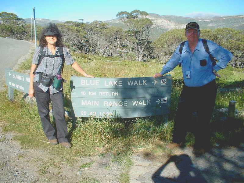
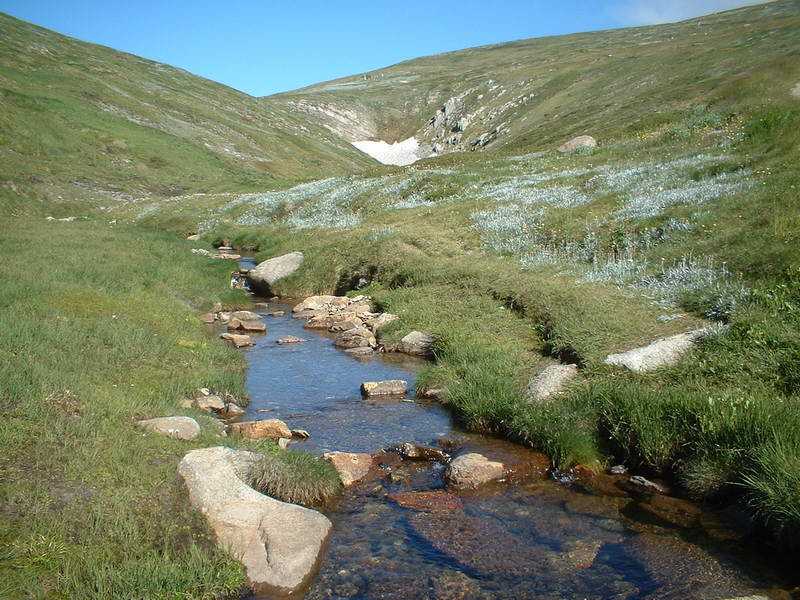
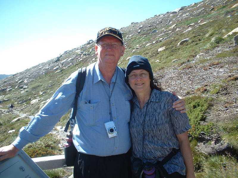
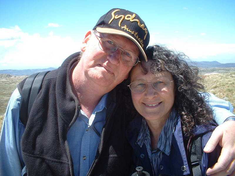
| This was to be my longest walk at an initial 20kms but however it ended up at 26km (as calculated by the new super GPS, owned by our "son"). On the previous day, we had done a quick walk of 8km and I was feeling just OK. This walk did not have any real steep slopes even though we at times went up 200-300m then down again the same height. |
 |
|
 |
 |
 |
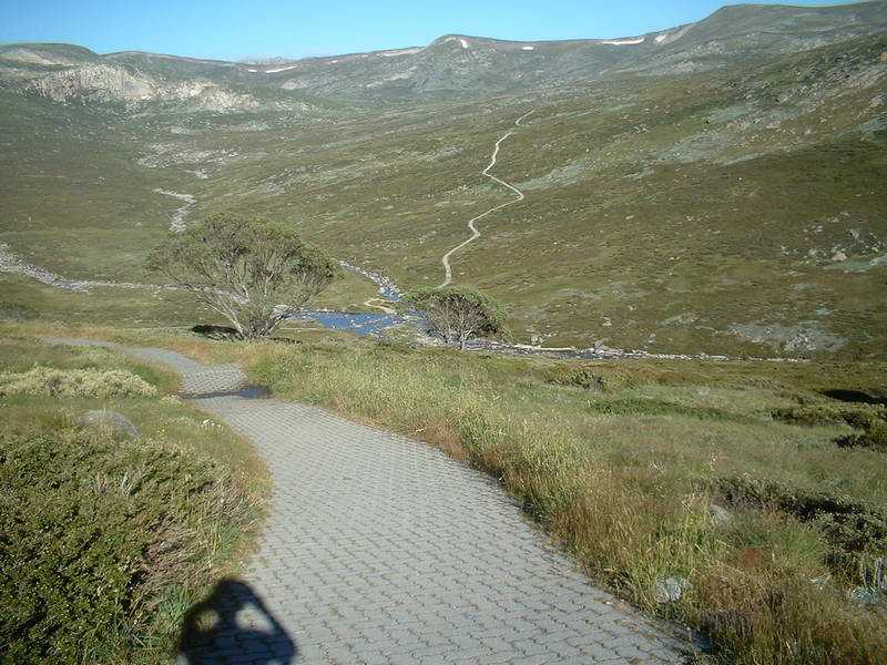
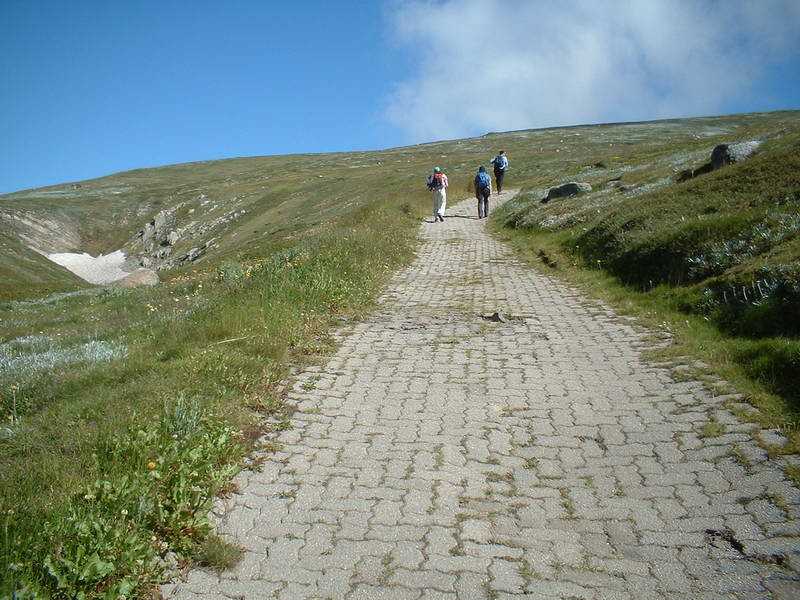
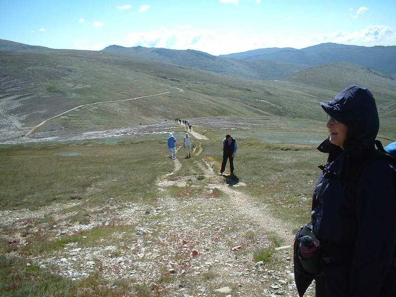
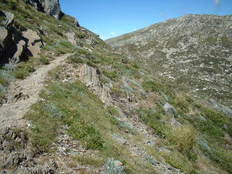
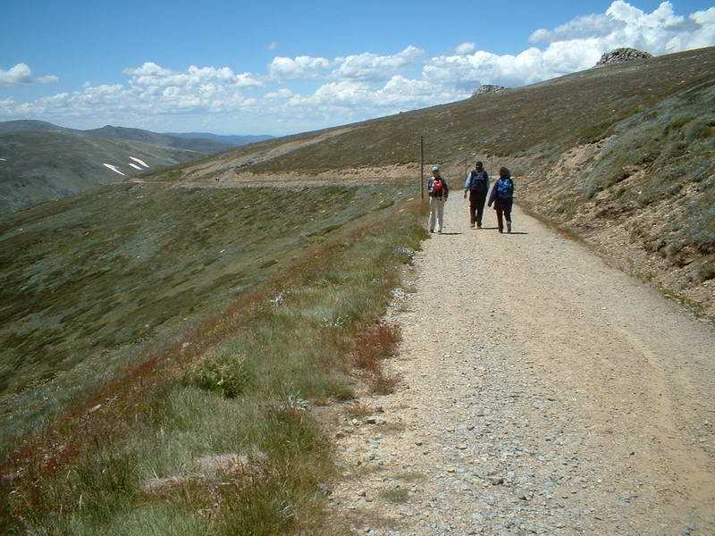
| The start - well paved track, this is going to be easy! See the walk stretching out in front of us. | The start of the famous Murray River! | |
 |
 |
 |
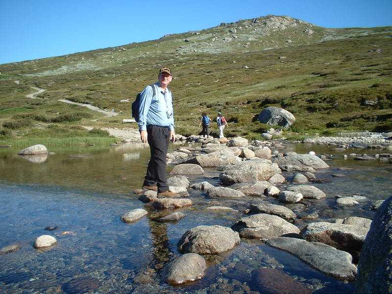
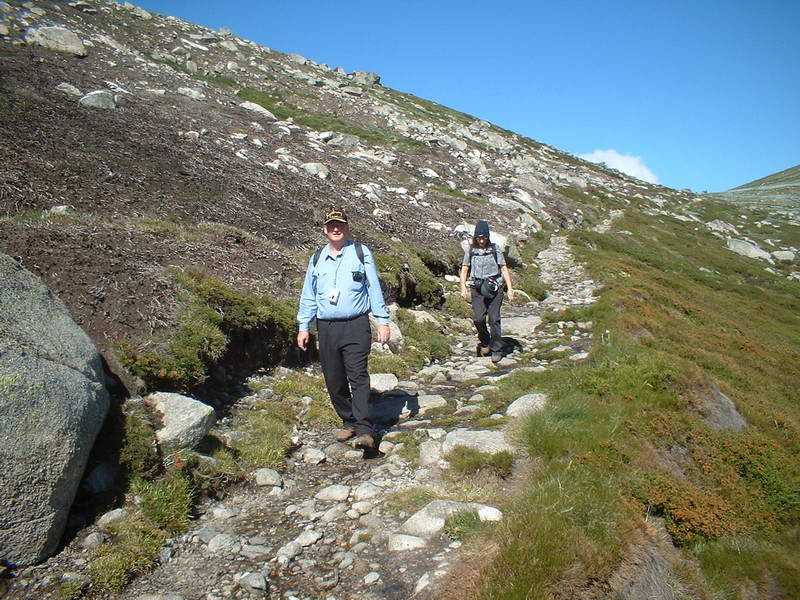
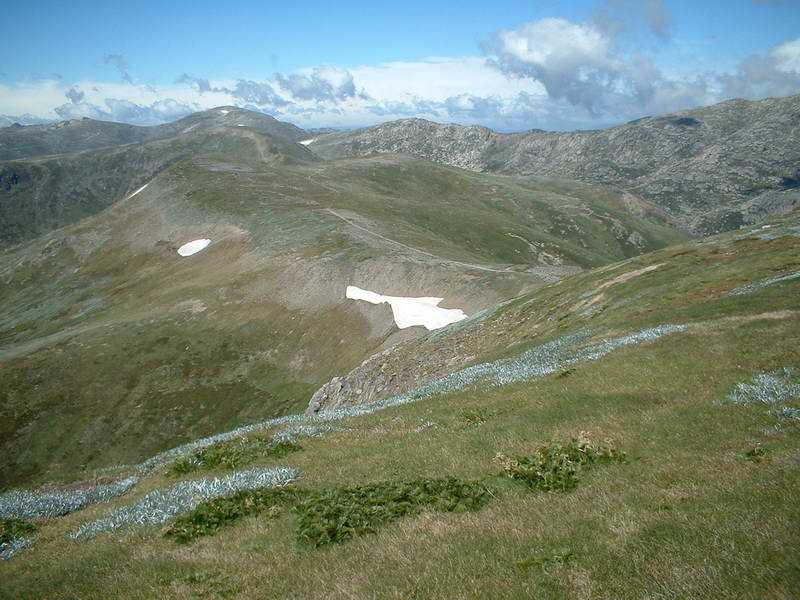
| Up the other side. | Still some snow in February! | |
 |
 |
 |
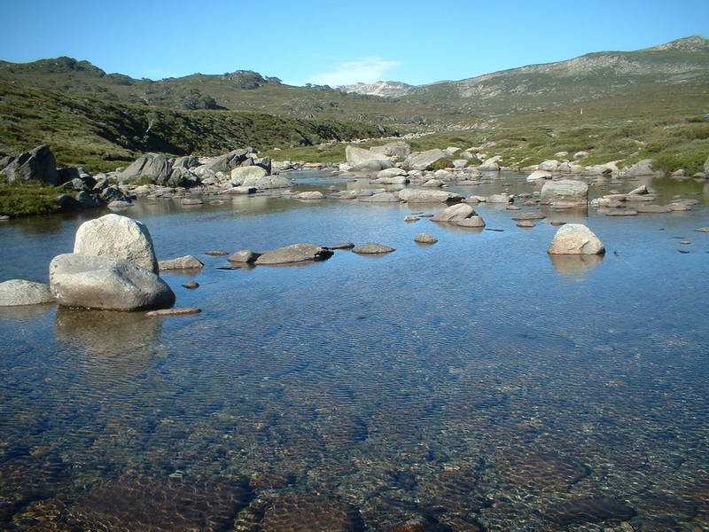
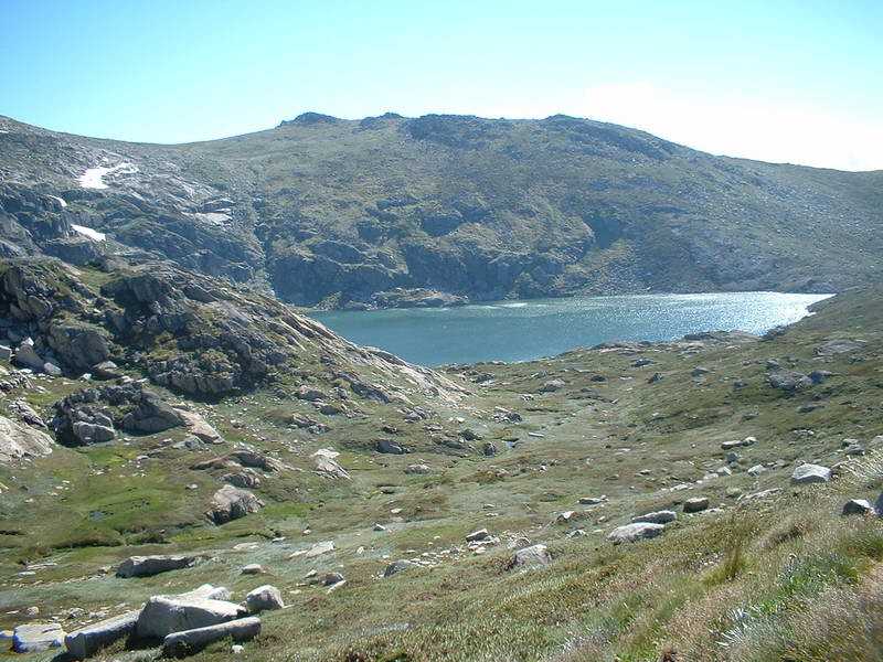
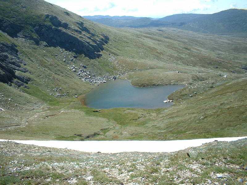
| Blue Lake | Walking down to Blue Lake to get a better look (Dumb!) | Posing! |
 |
 |
 |
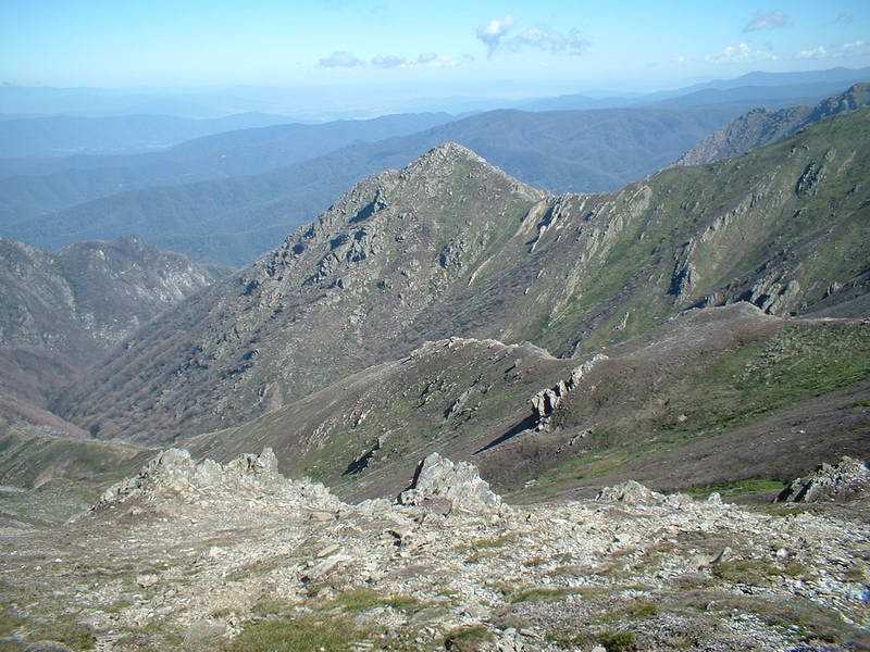
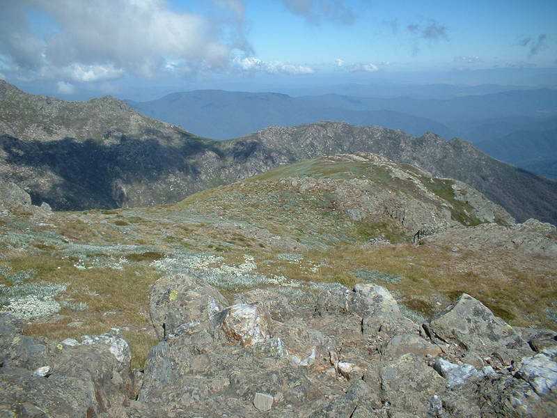
| The Victorian Alps! | ||
 |
 |
 |
 |
 |
 |
| Close to the top! | At the TOP - 2228m - we get our turn to take photos. | |
 |
 |
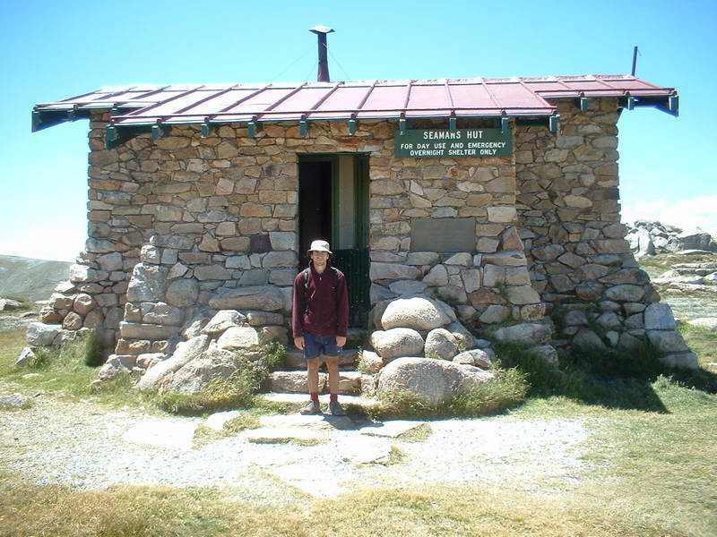 |
| Lunch, according to the Ranger it was a quite day - only a few hundred. Well under the peak at near 2500. | On the way back, I'm getting a tad slow at this stage! | A diversion. |
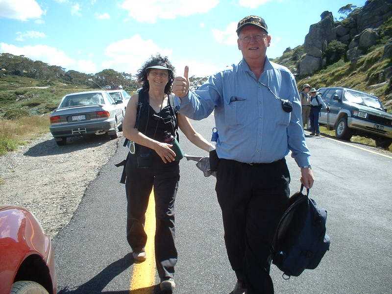 |
Made it to the car at last, the next day my legs were
quite stiff and sore, Mischa had to drive back to Melbourne, I had a
couple of days off work, to recover. But it was fun and I'd do it again, now that I've lost weight, it should be much easier! |
|
| Back | ||