 |
|
|
|
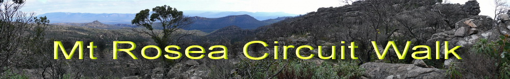
The Grampians allows you to get away
from it all and ensures you can recharge your batteries. The Mt Rosea
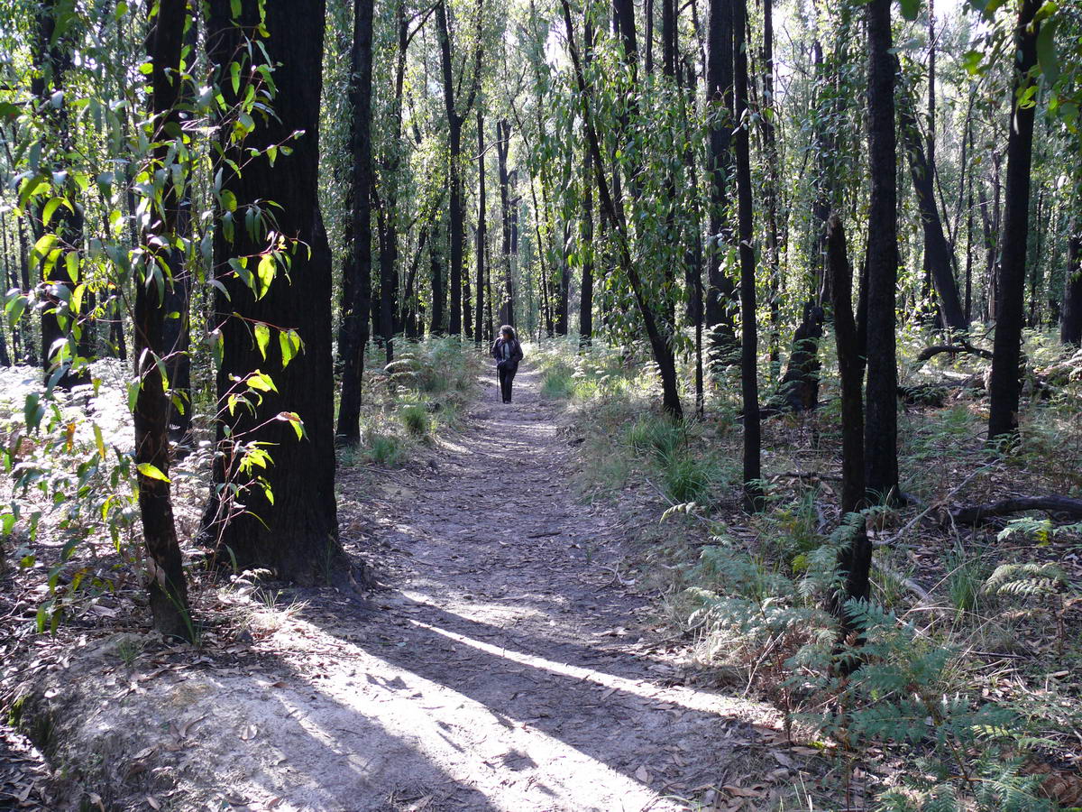
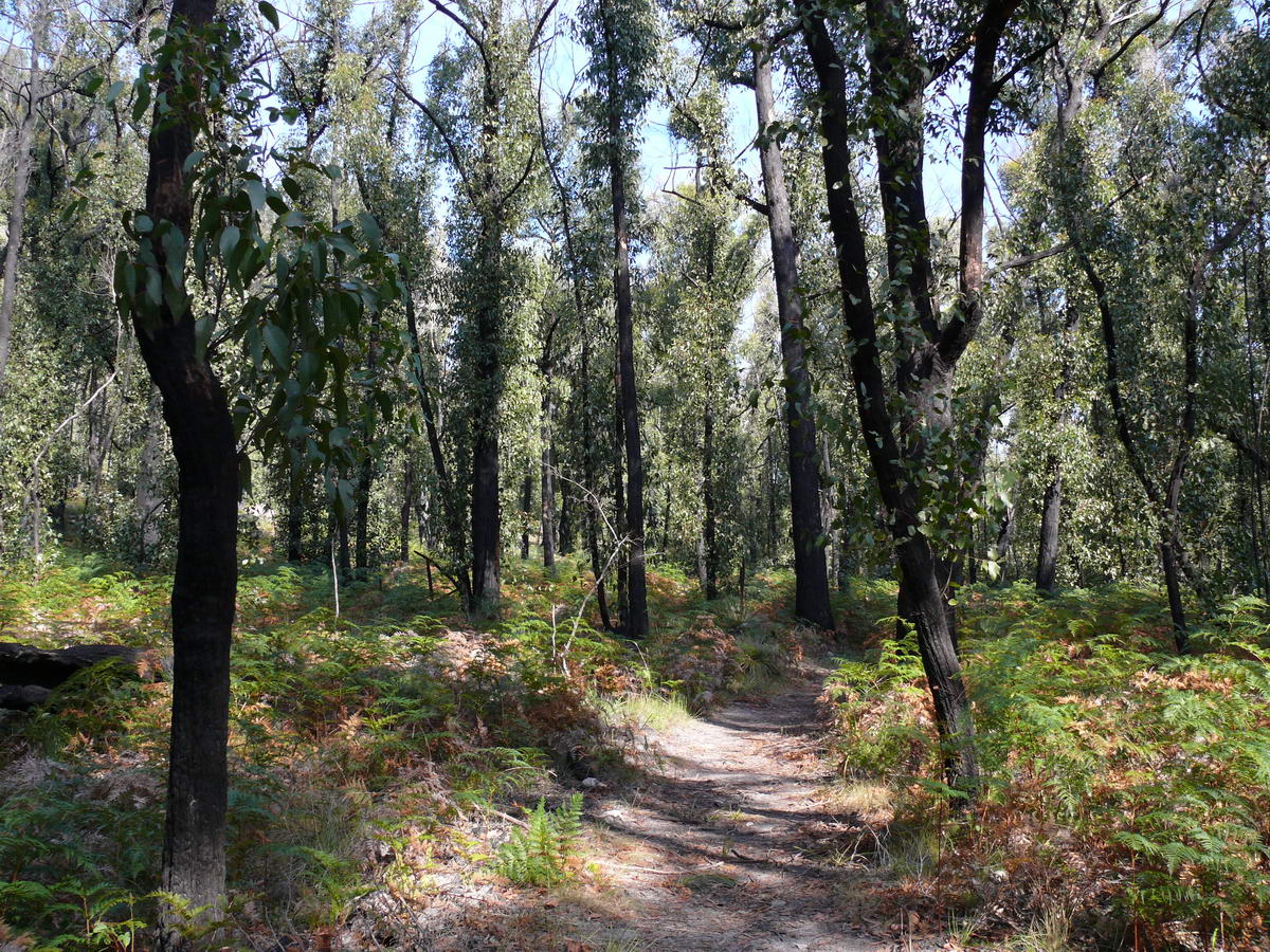
walk is a medium/hard walk taking you through forest, now regenerating
quickly after the fires of 2005, and its amazing rock outcrops and
slopes. Mt Rosea is 1009 meters high and gives 360 degree views at its
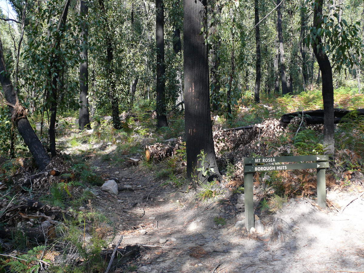
summit. It can be done as a circuit walk by continuing on towards the
Borough Huts through forest and steep rock gullies. Finally you
branch back towards Delleys Dell via an old fire trail then back to the
car park via the blacktop. Alternatively you can head downhill to Delleys
Dells and take a fern gully walk back up to the car park. The walk is well
signposted and marked so no detailed maps are required (which is lucky as
the parks maps/brochure is wanting). Joins us on our trip: |
|||
 |
 |
 |
 |
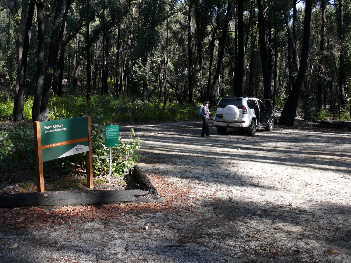
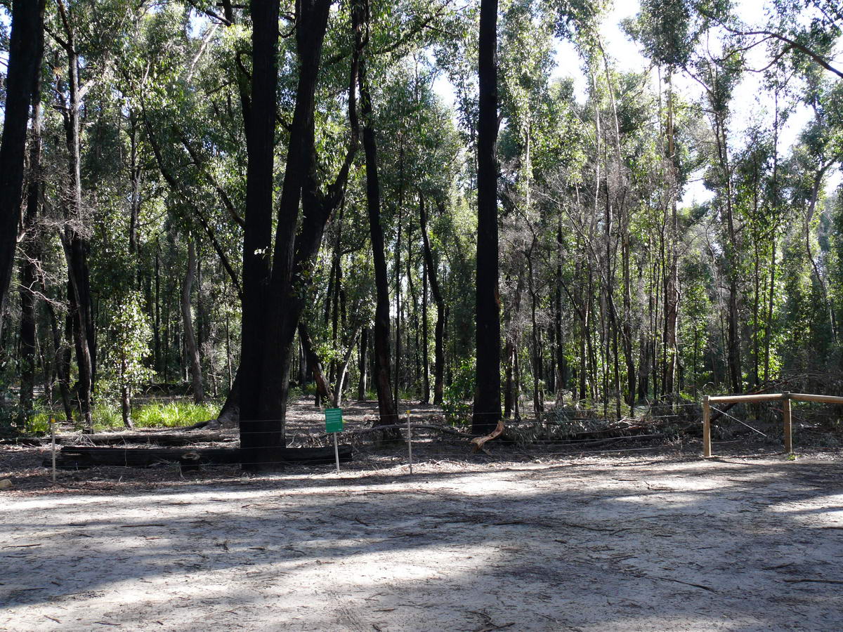
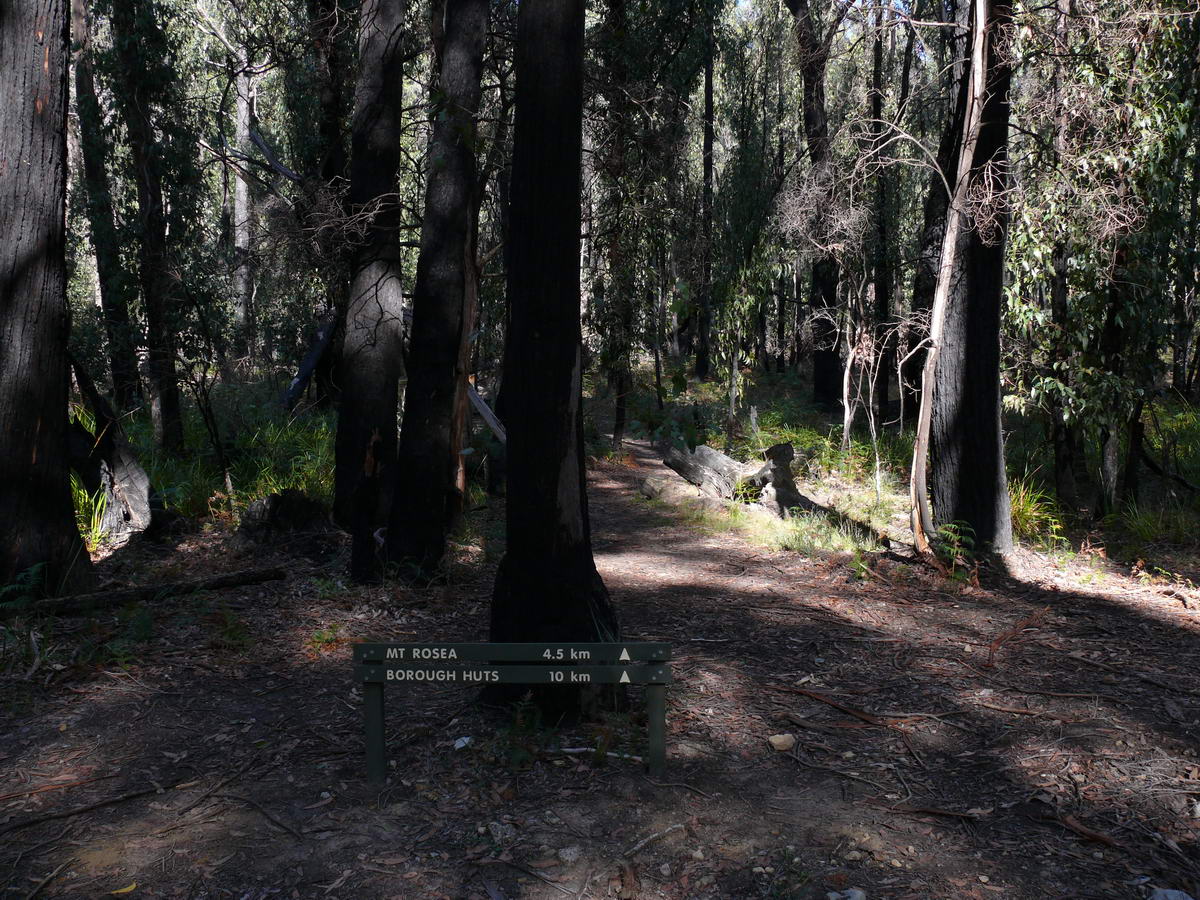
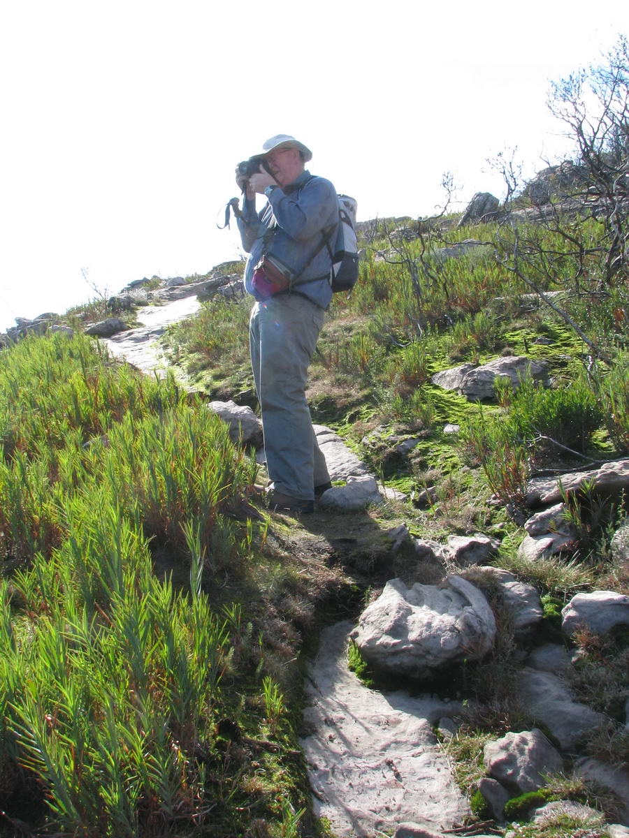
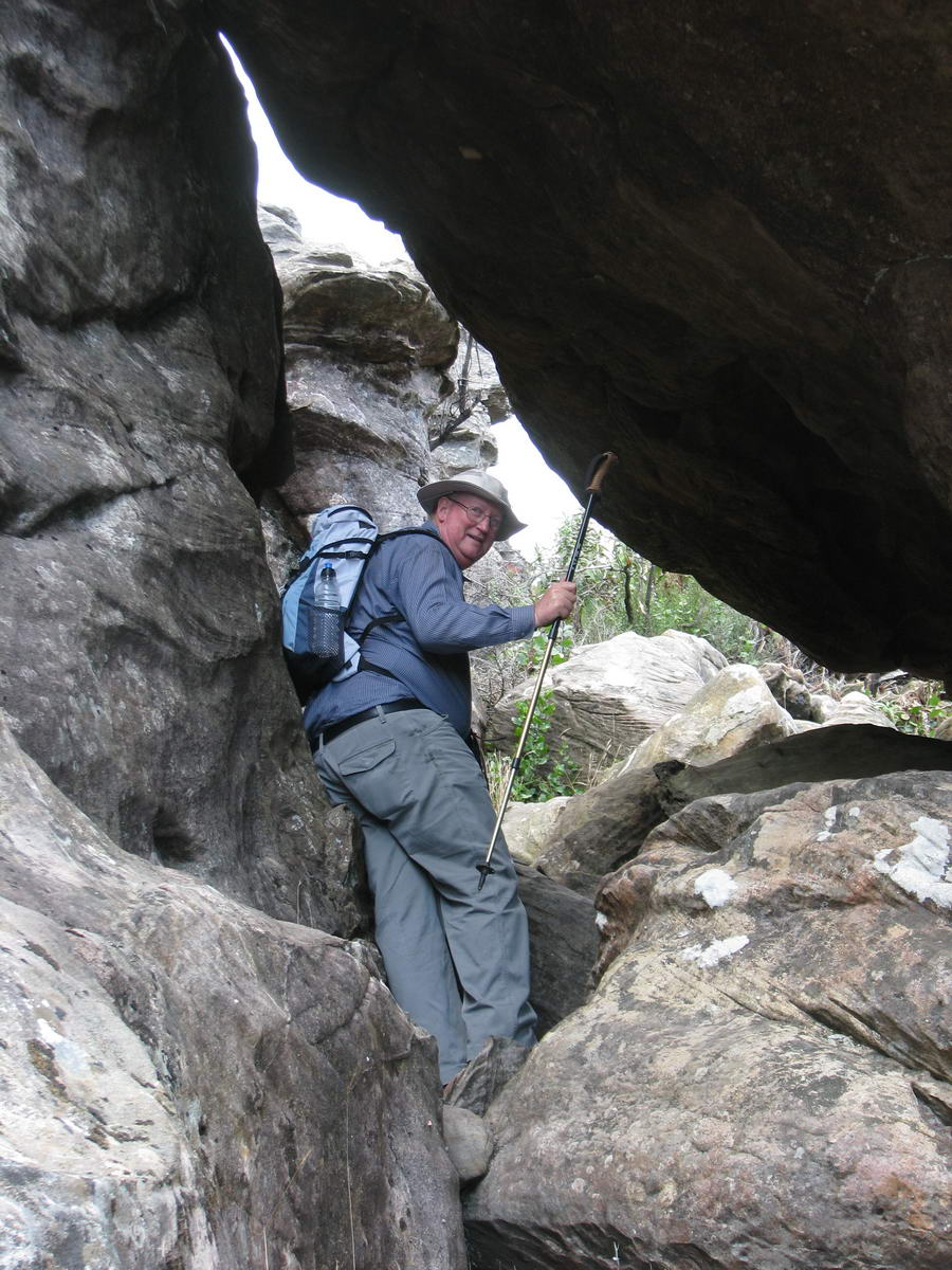
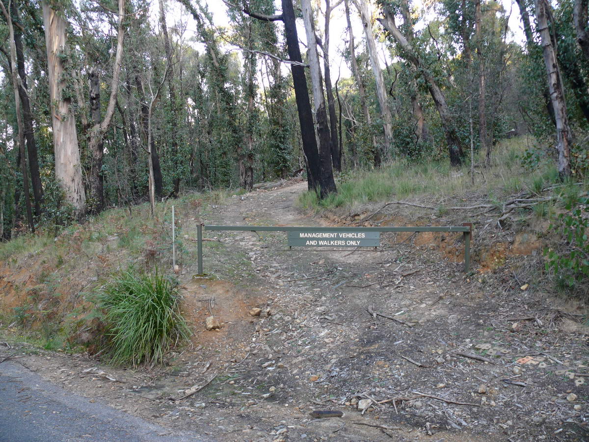
| Here we are at the car park getting ready to start our walk. It is about 10:30 a.m. Be careful the road up from Silverband Falls (C218) is now only one-way - the wrong way to get here. We had to come in from Halls Gap on the Zumsteins Rd, the C222. | We camped here a few years ago - before the fires. Now after the fire of 2005 the camp area is seemingly permanently closed. The old area was badly burnt and after a fire trees can and do drop limbs without warning for a number of years. | A few yards down the road is the real start to today's adventure. Only 4.5km to the top. Last time we came we did not reach the summit as it rained heavily on us and we weren't prepared - it was mid Summer on Boxing Day! | Yes be careful - cliffs - rocks- slippery slopes etc. - but that's the fun. |
 |
 |
 |
 |
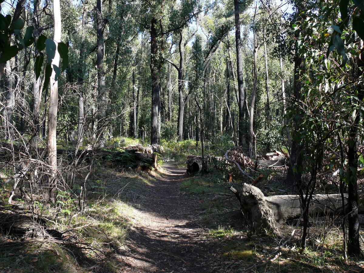
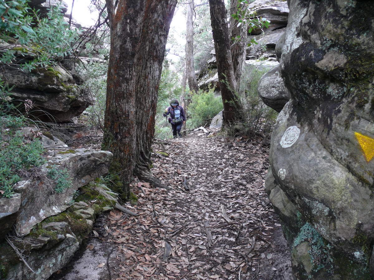
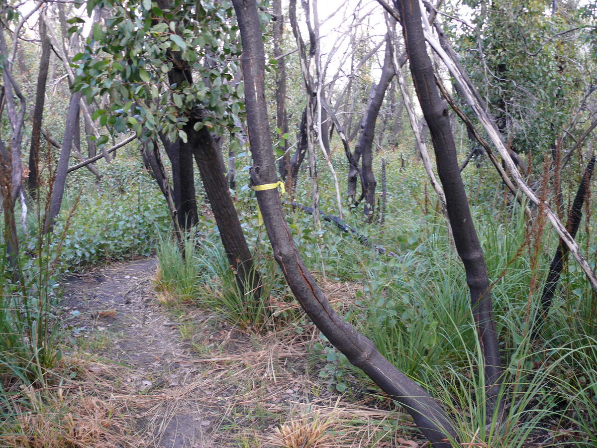
| The start is a pleasant walk along a nice open track. | A gentle slope up towards the mountain. | A junction concealed - the left I think is the old way up via the Grand Staircase. Very steep and a little tricky! | The new way skirts around behind the bluff to get to the top. |
 |
 |
 |
 |
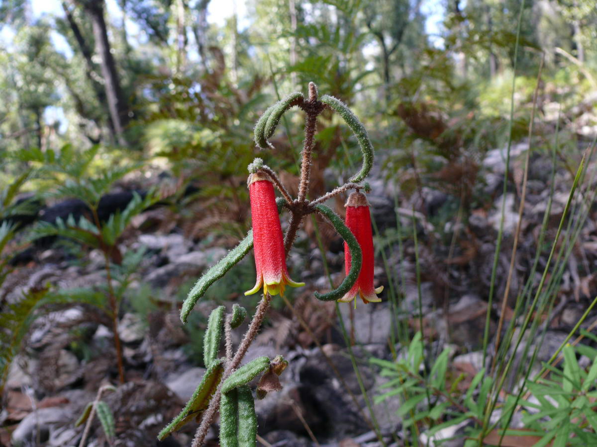
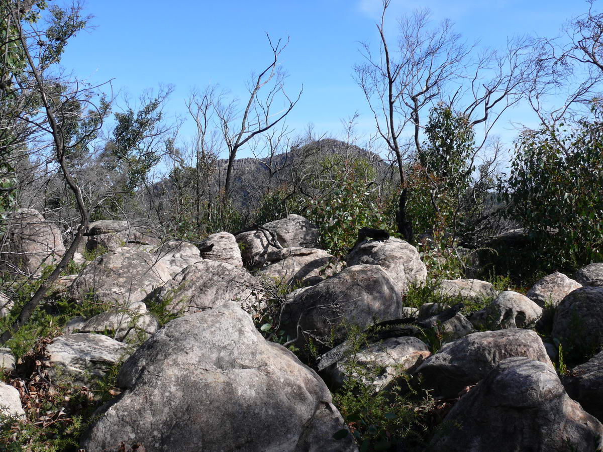
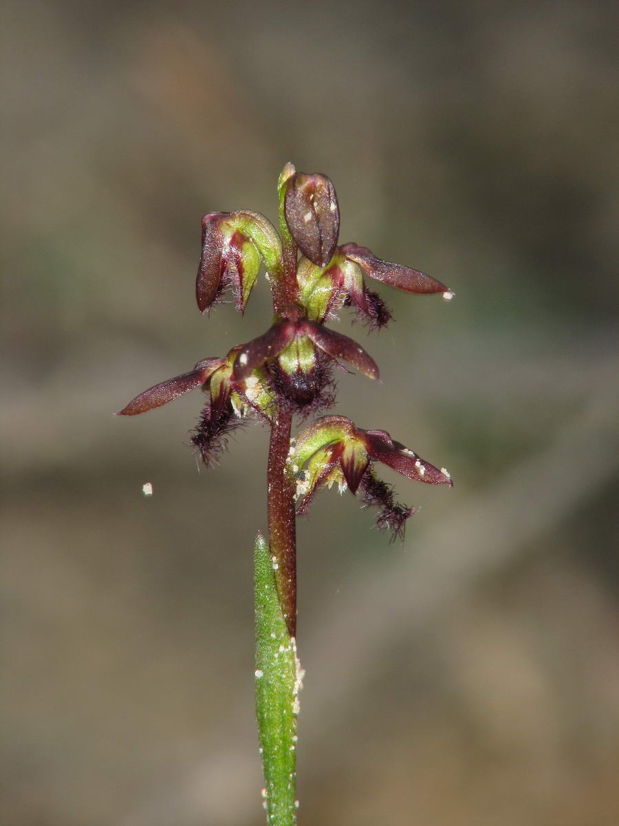
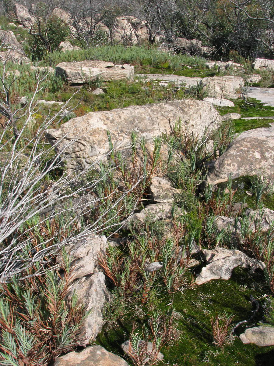
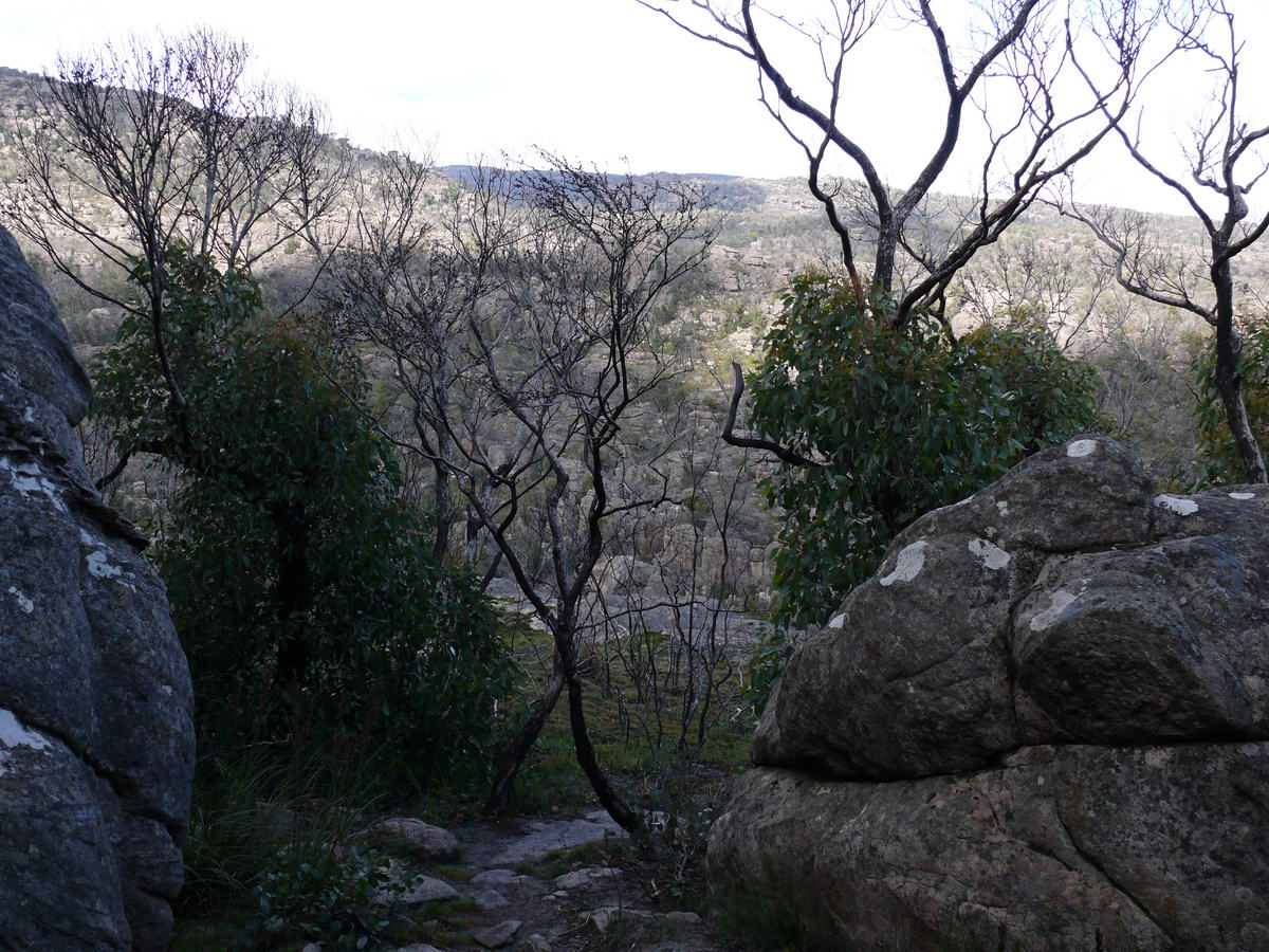
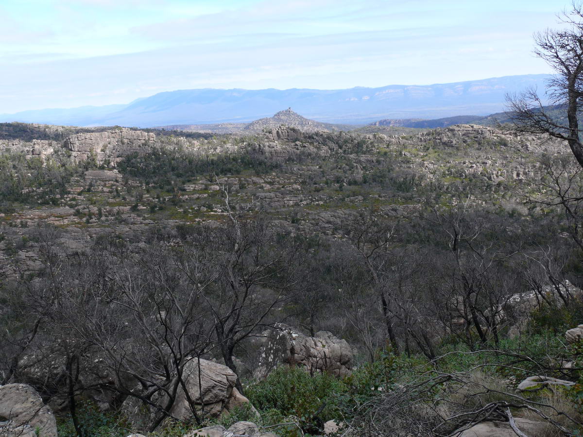
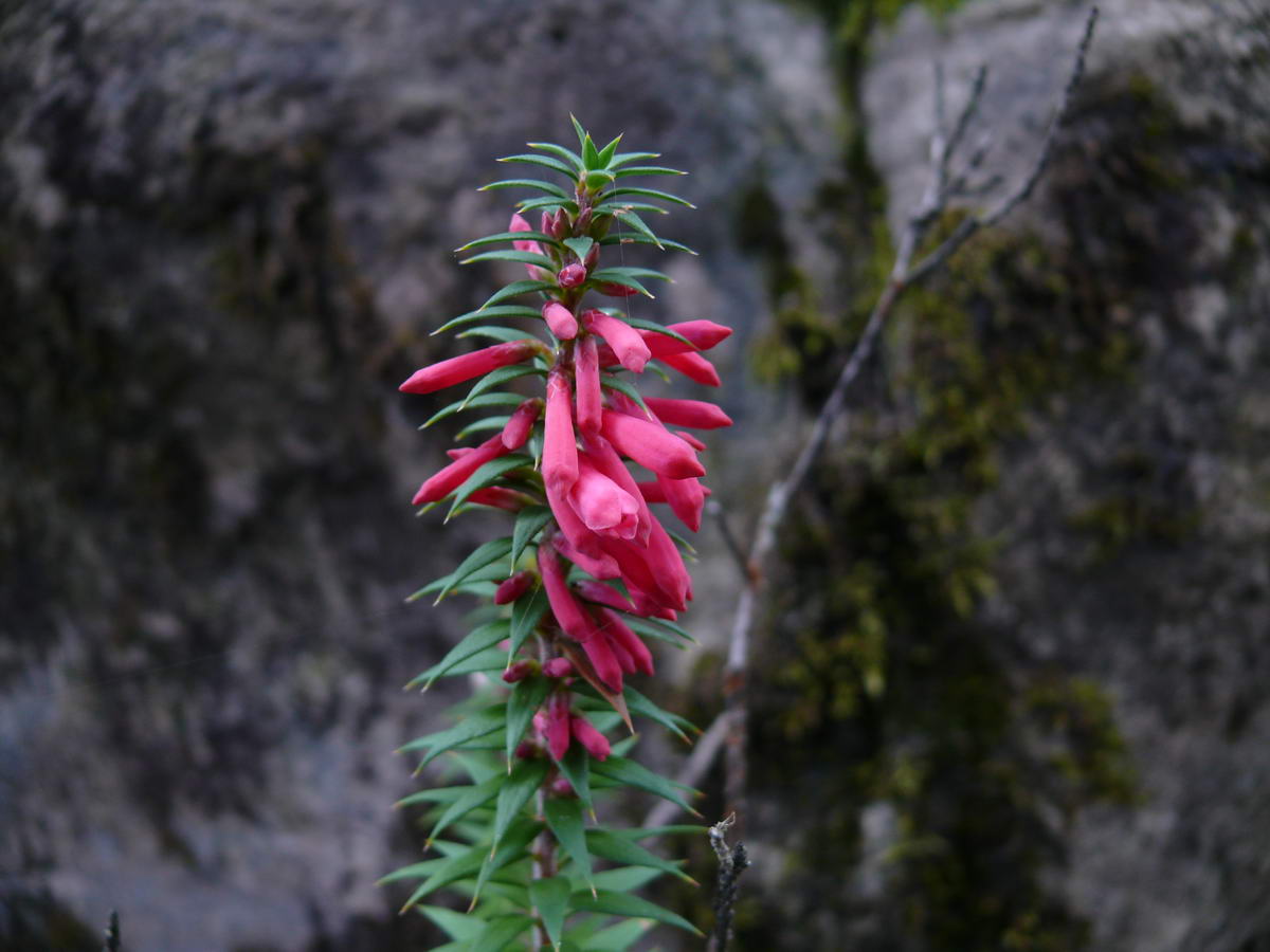
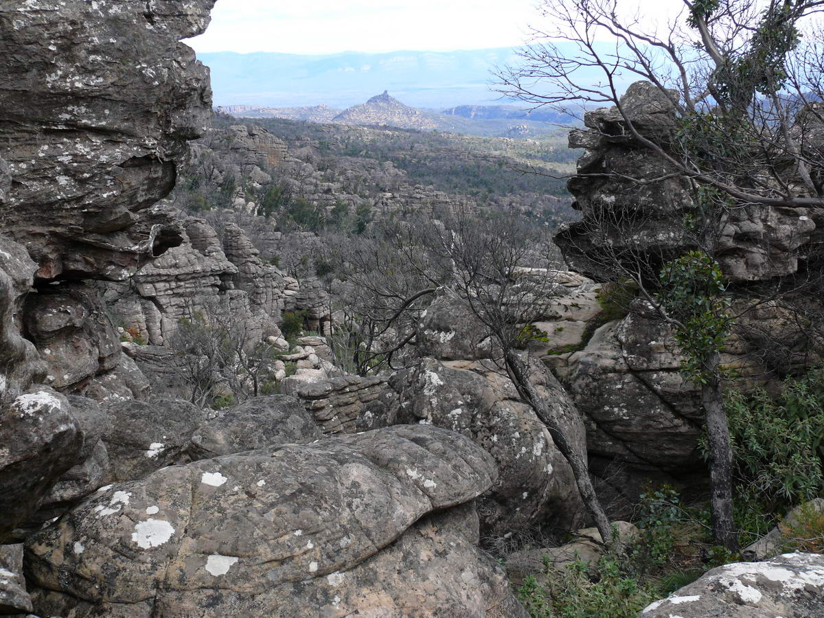
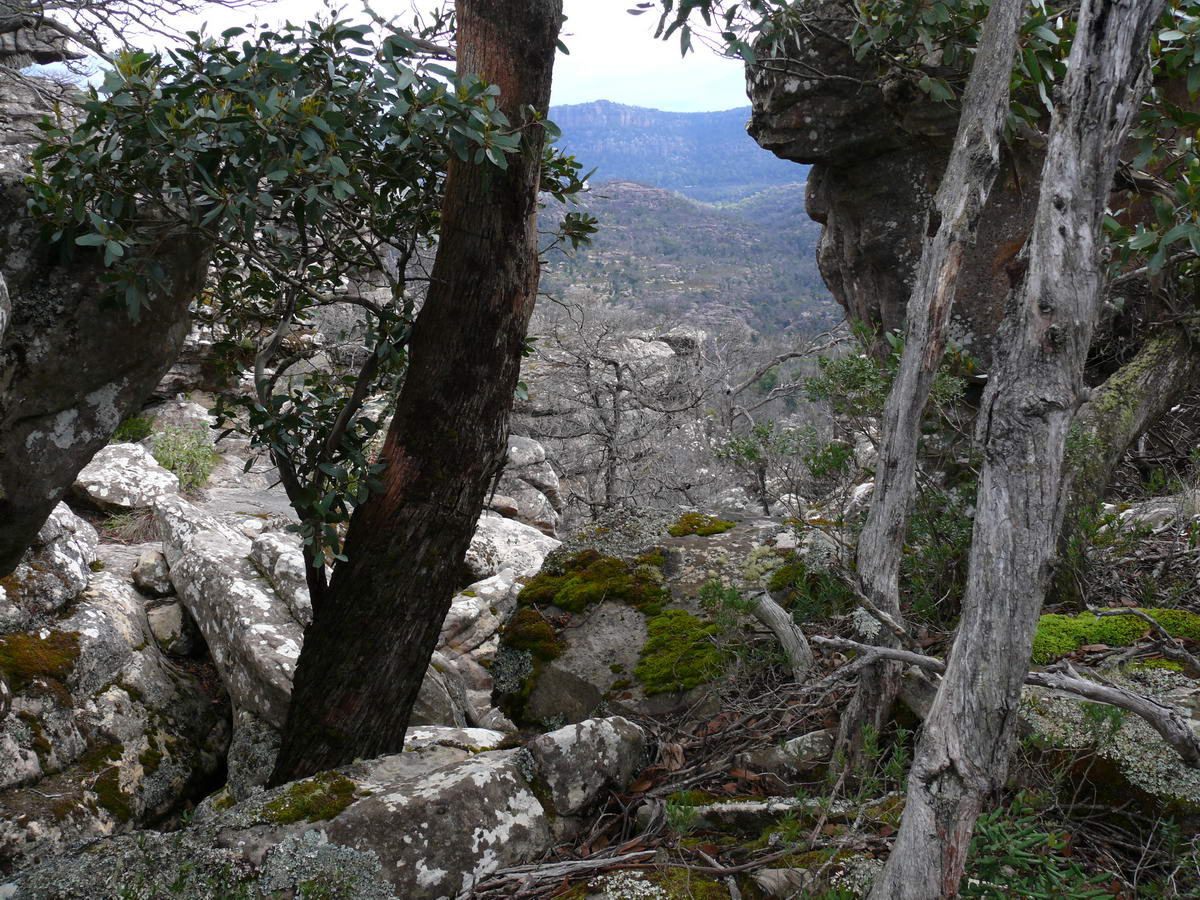
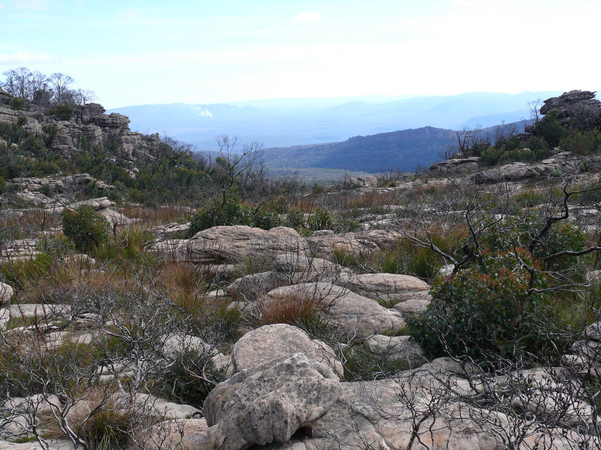
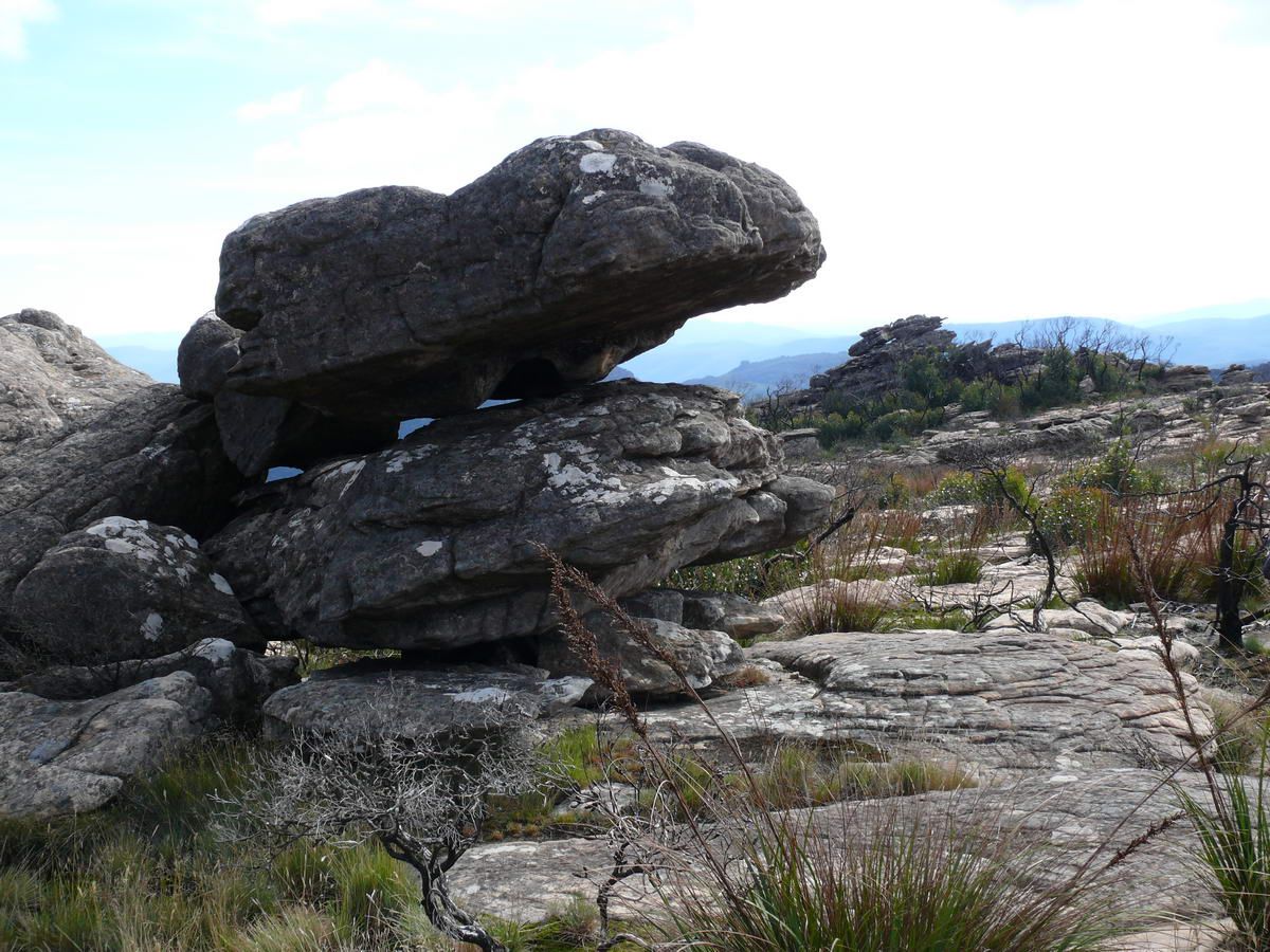
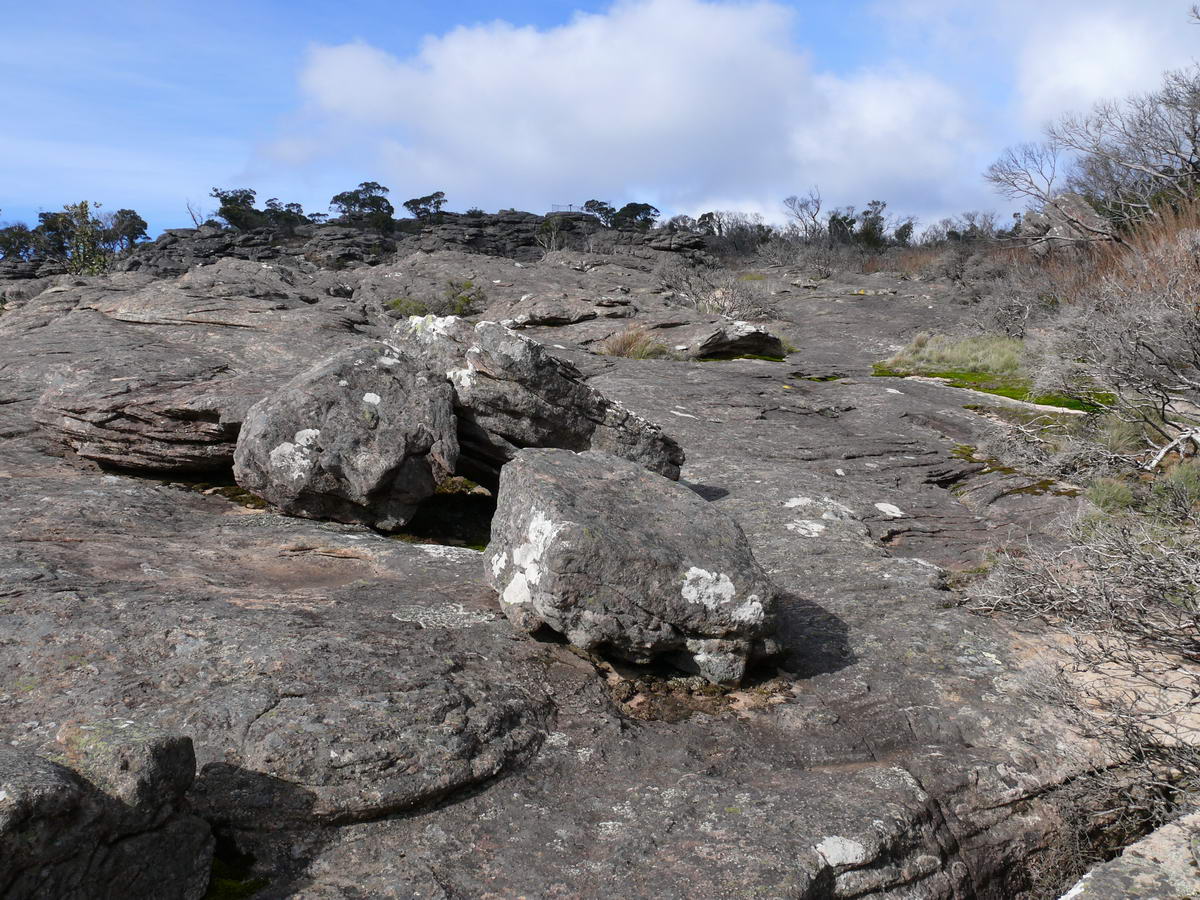
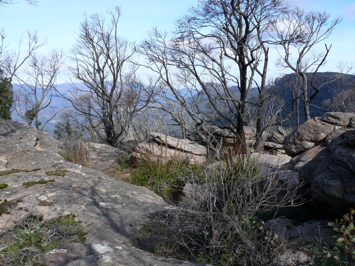
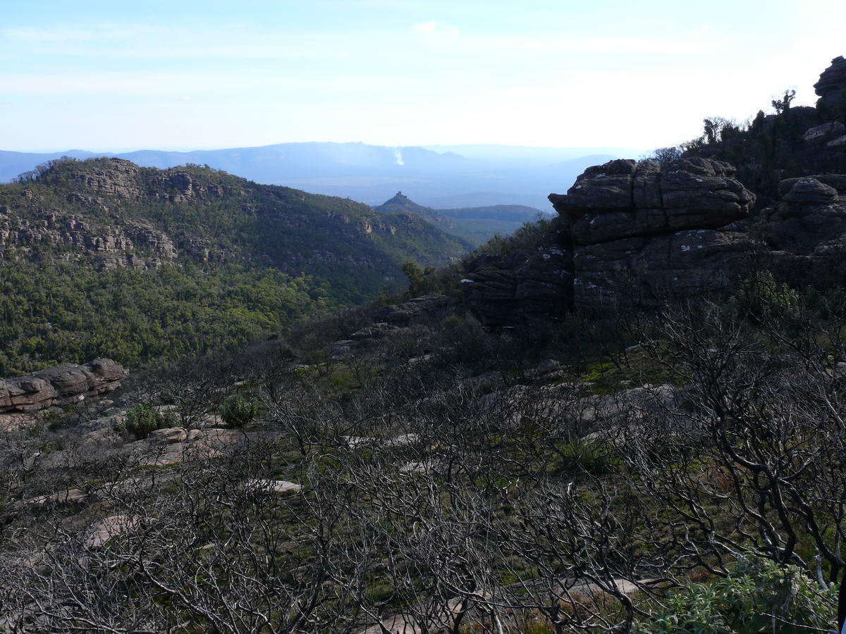
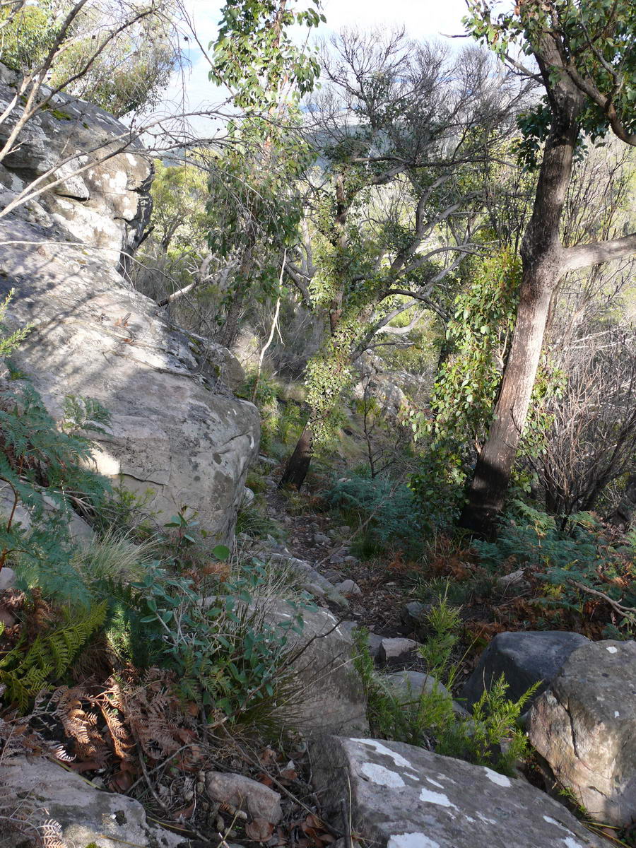
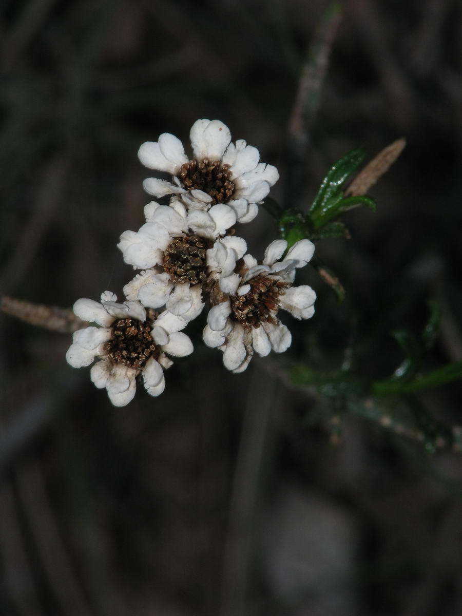
| Depending when you do the walk there is lots to see - wildflowers being one of them. This is a Correa flowering nicely. | Mountain views come into the picture behind some large boulders. Note the fire damage to the trees which are still slowly recovering. | A midge orchid pops up beside the track too excite us. | Rocks - we see lots of these on the walk. |
 |
 |
 |
 |
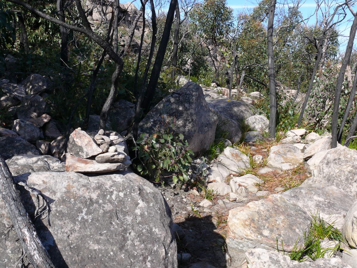
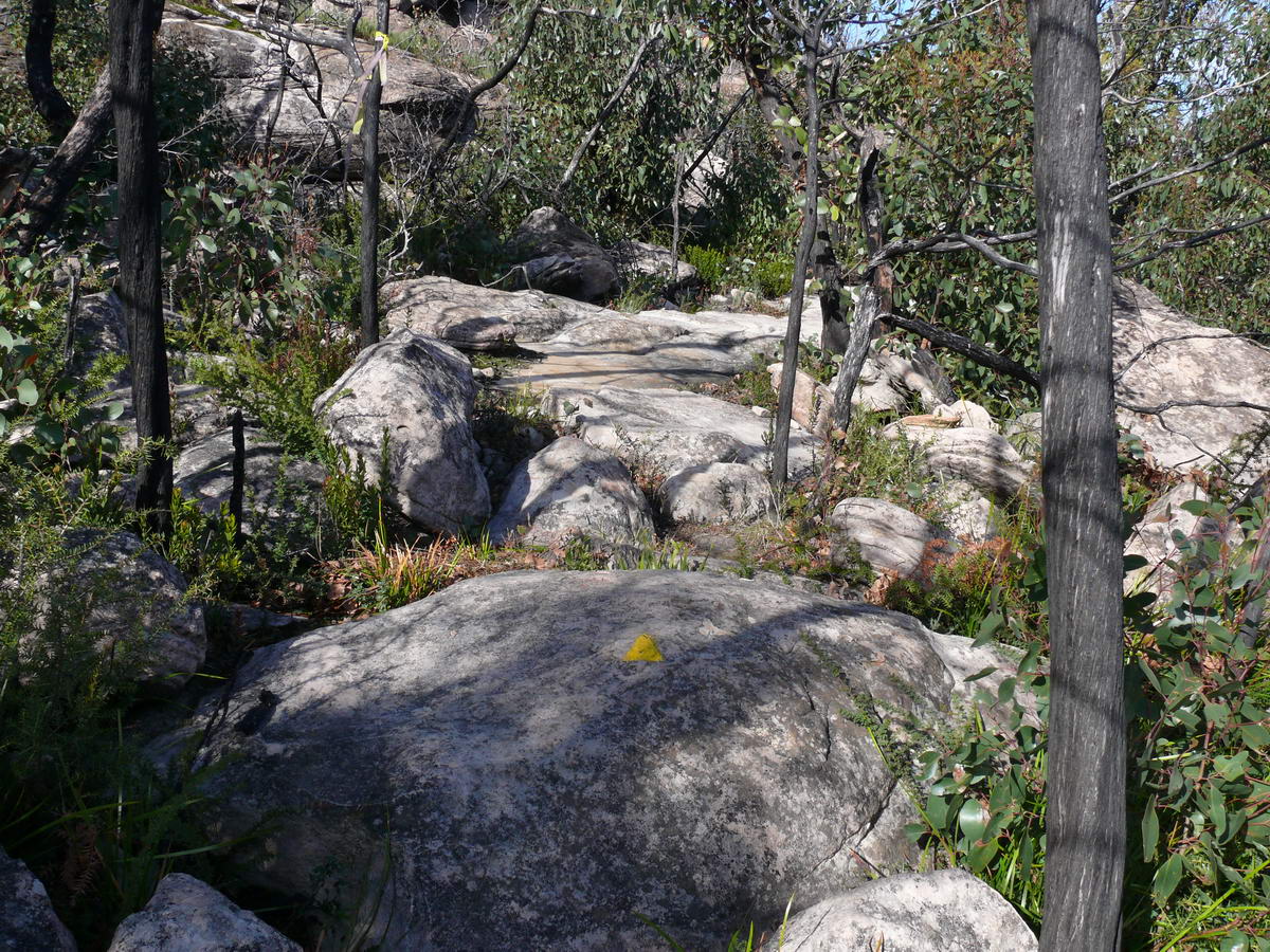
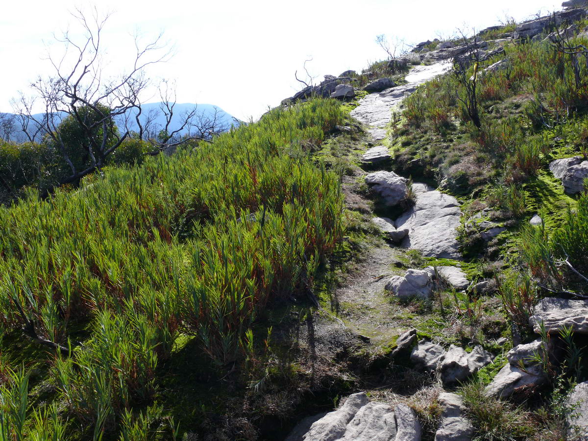
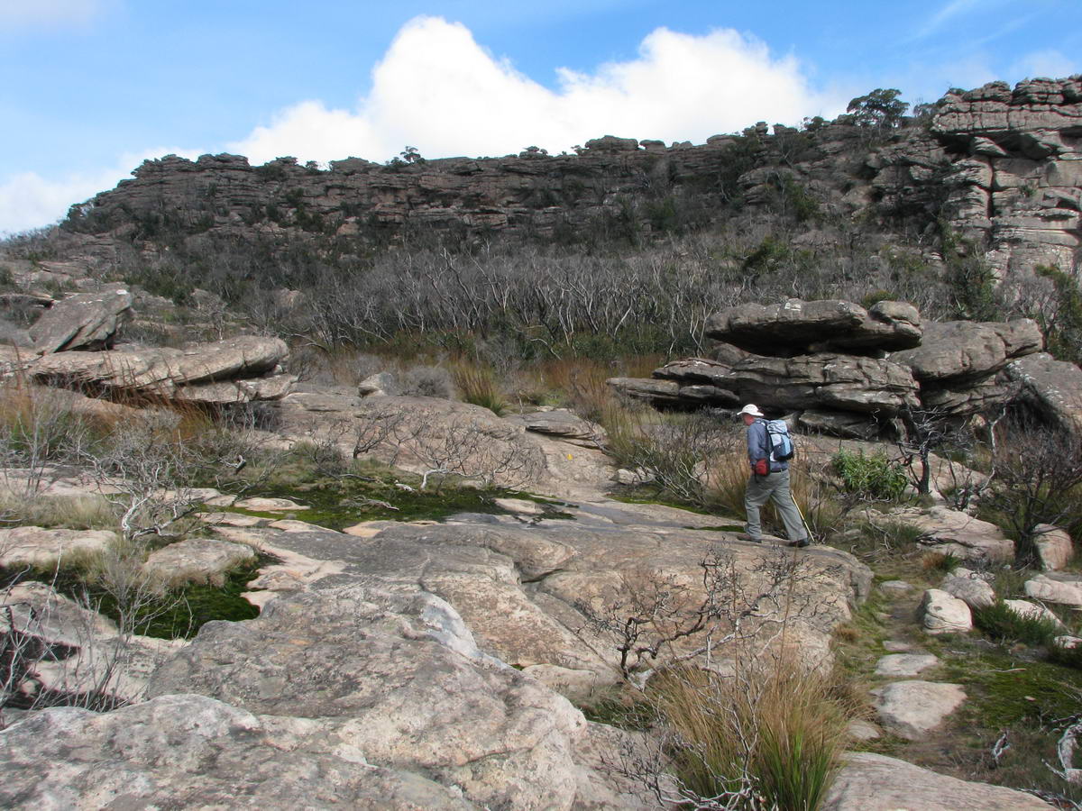
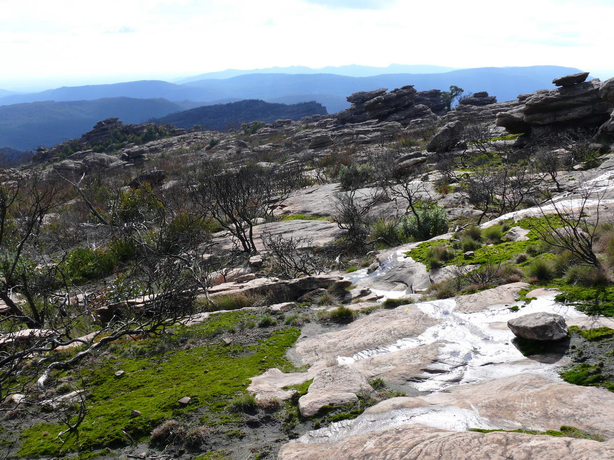
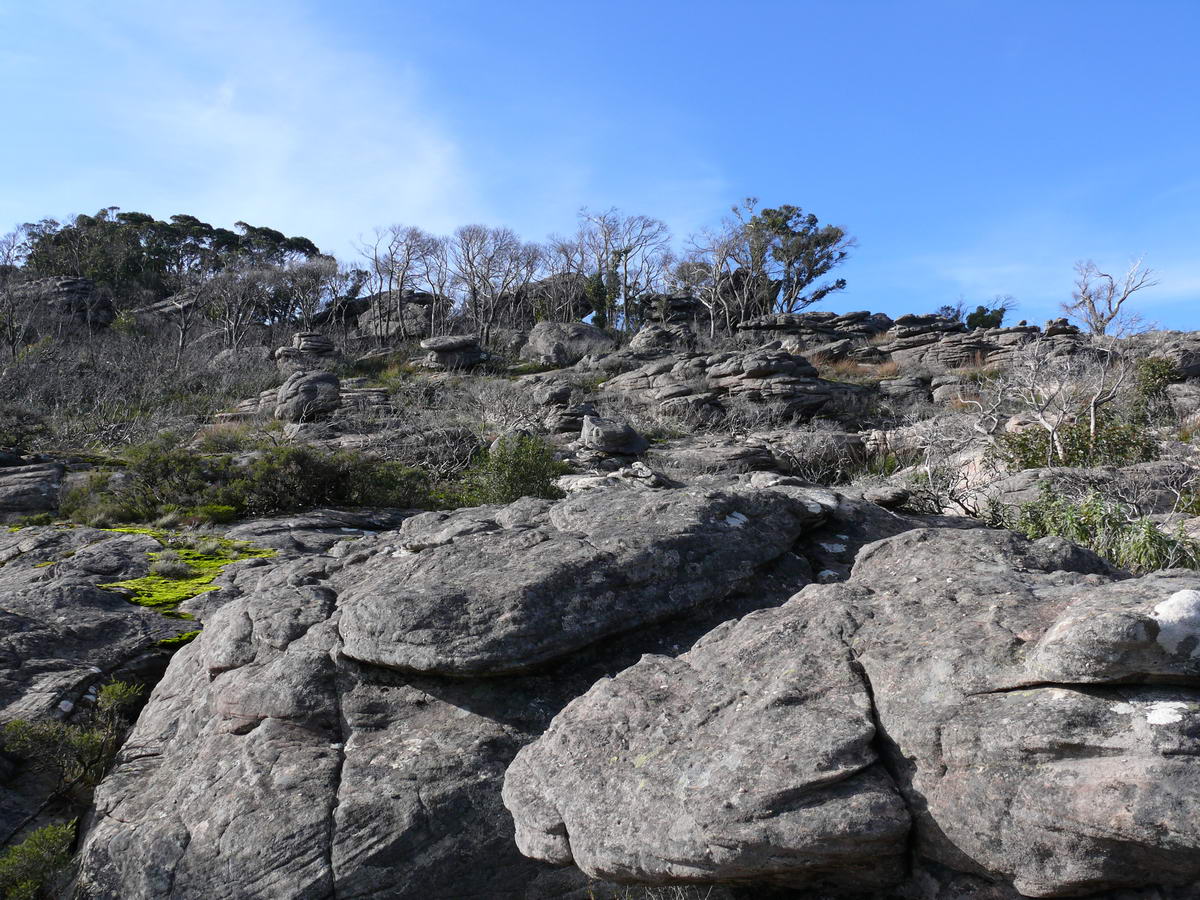
| Some people build cairns to guide you along, there are lots along the way. | But the Rangers have marked the way with their new yellow triangles. | An open area comes along. Shrubs get a chance to grow in full sun. | With the open area the views also appear. |
 |
 |
 |
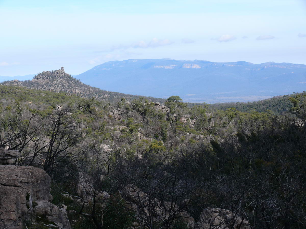 |
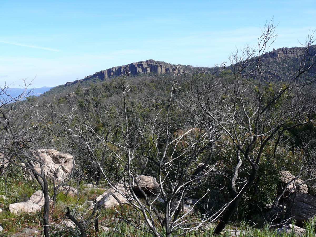
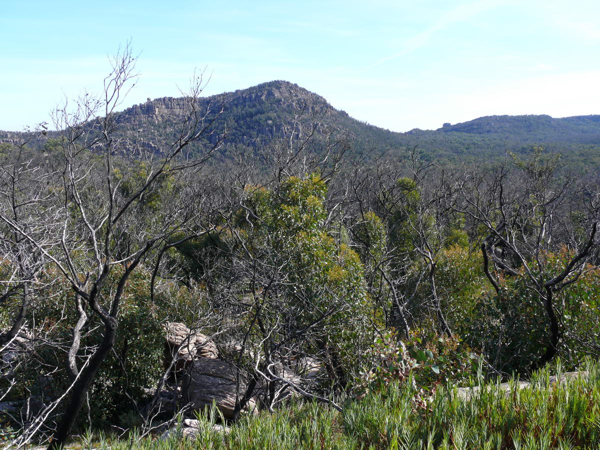
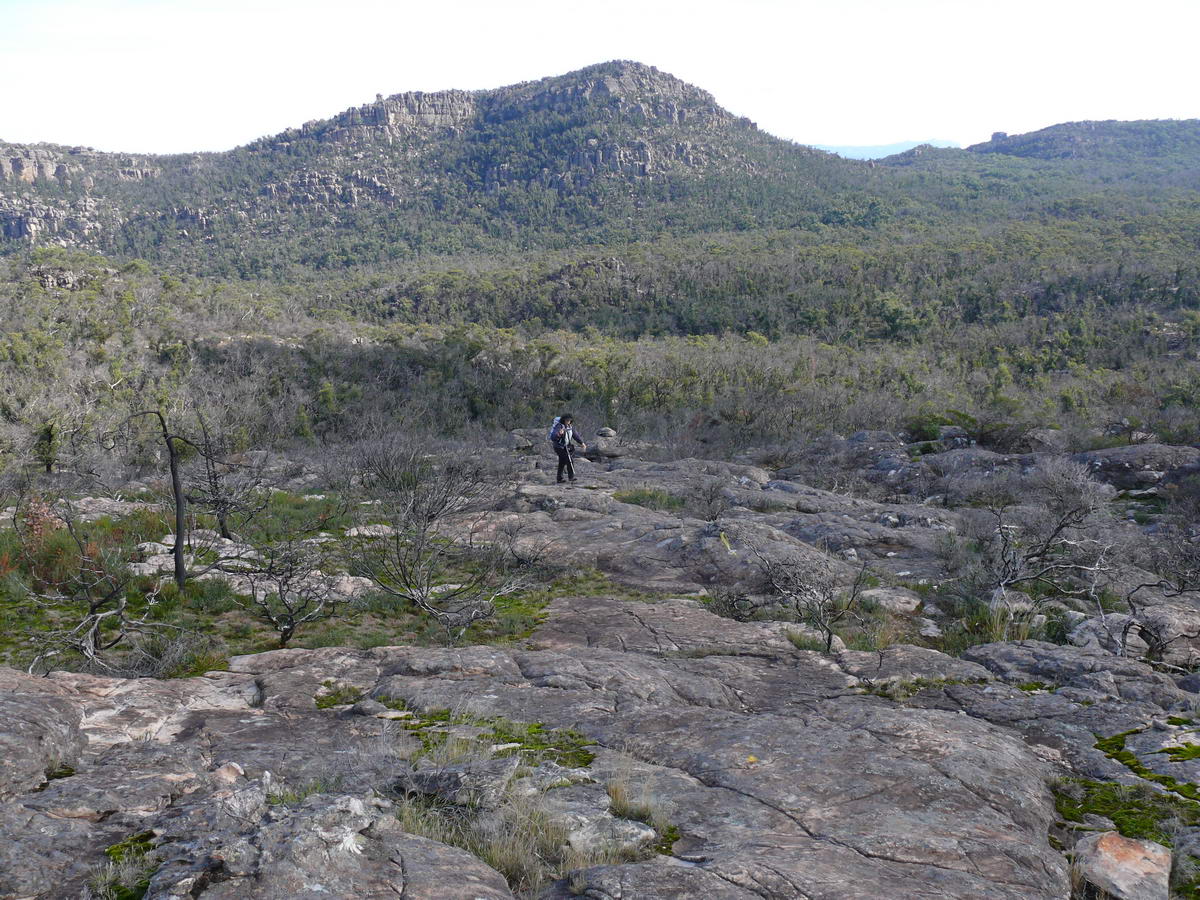
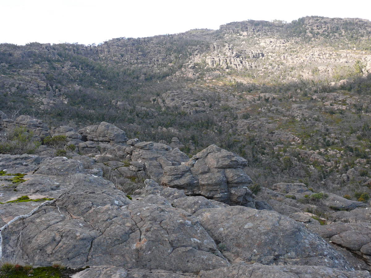
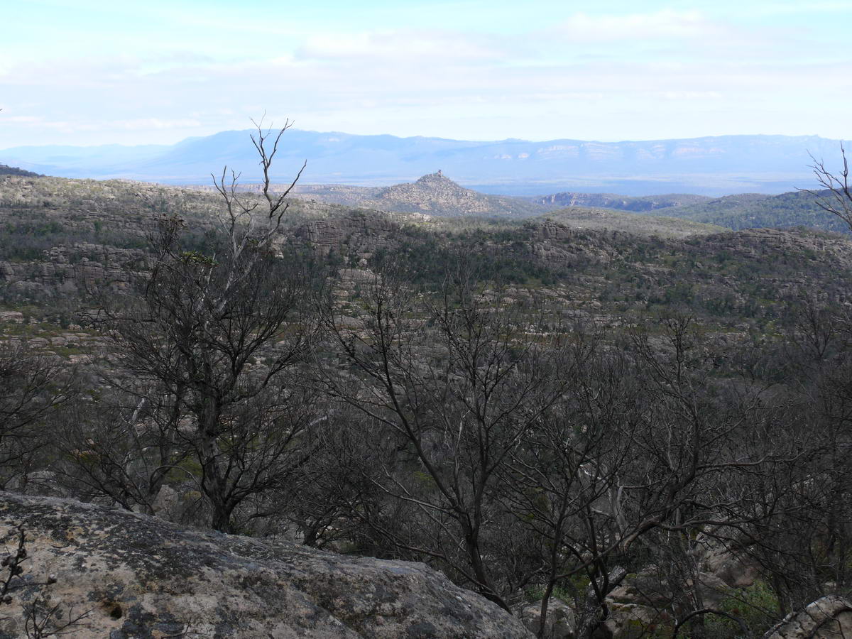
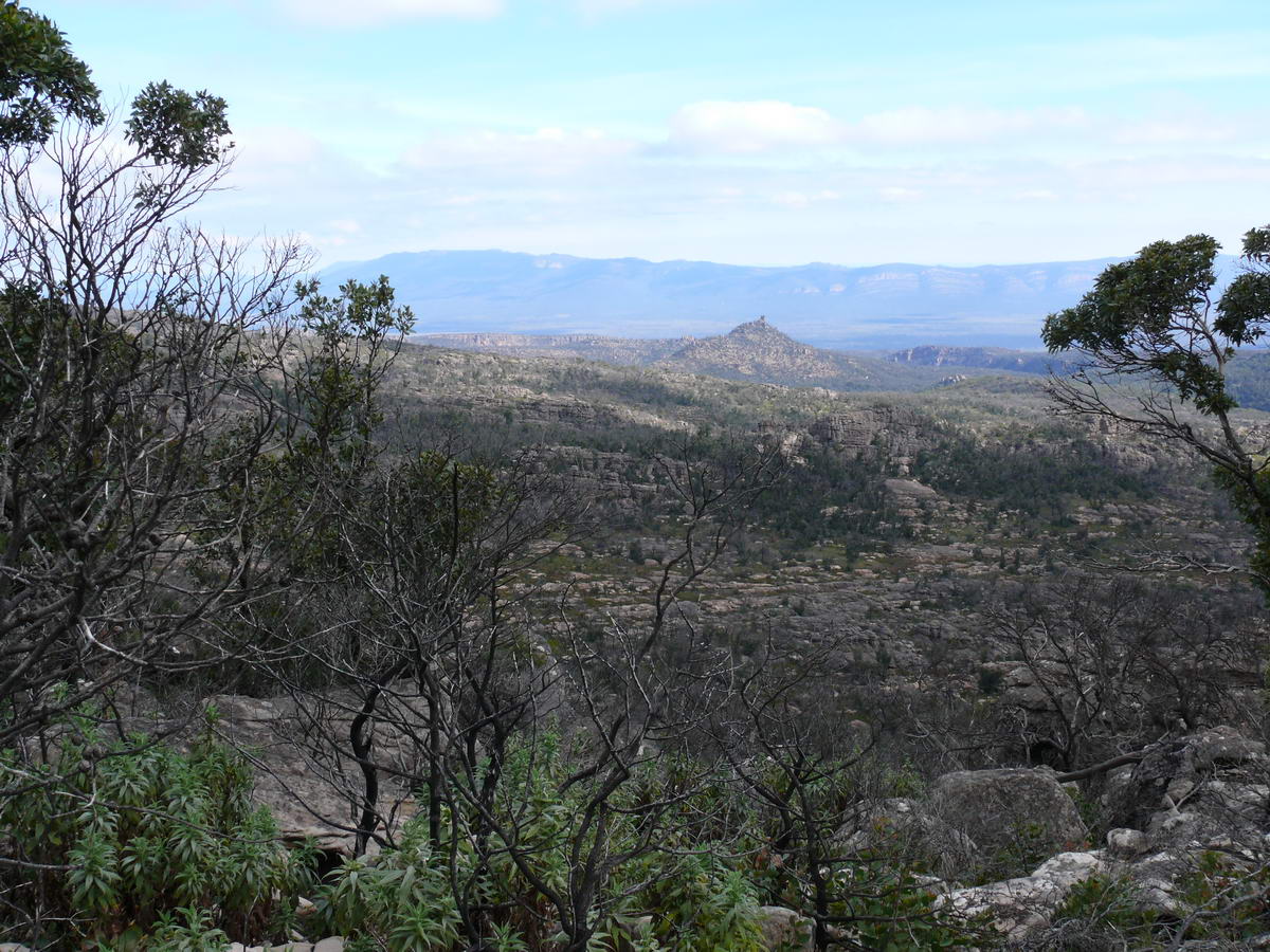
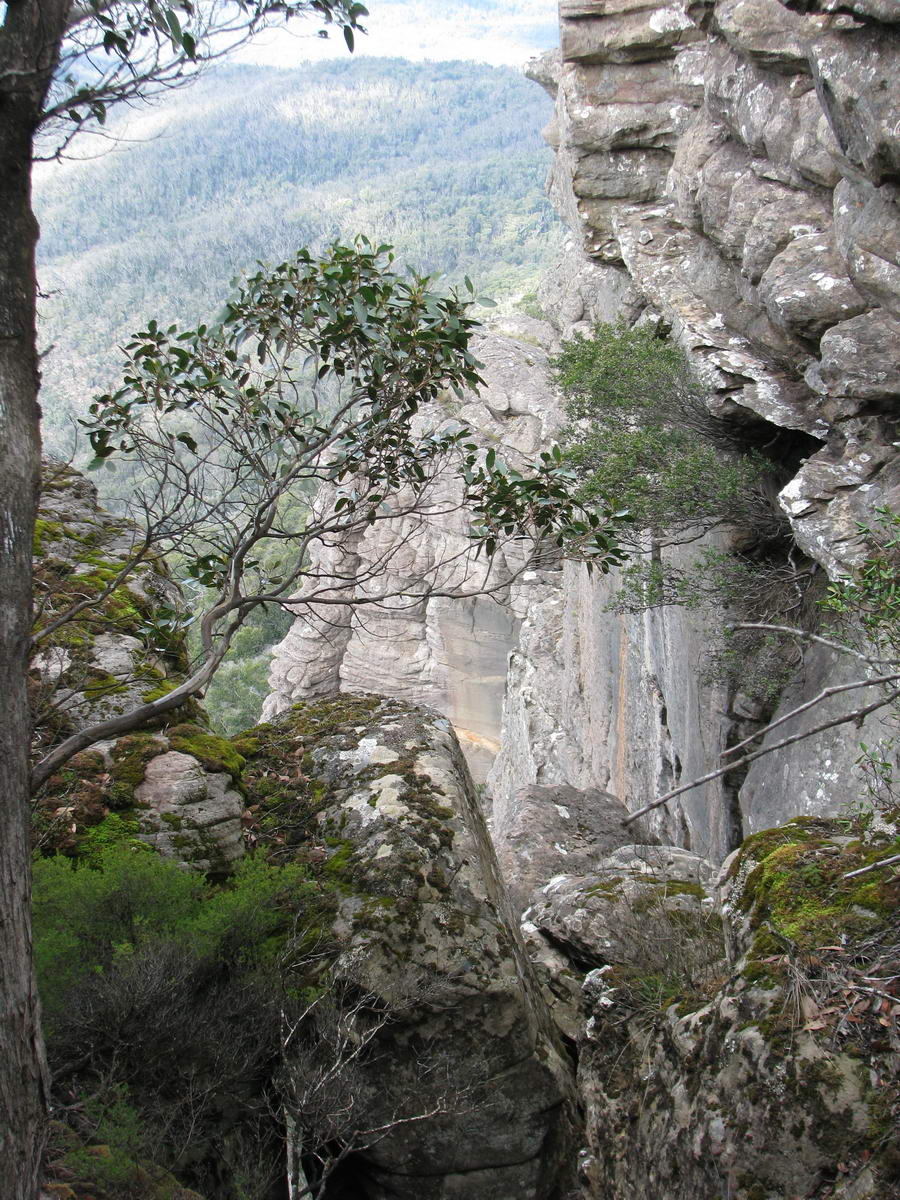
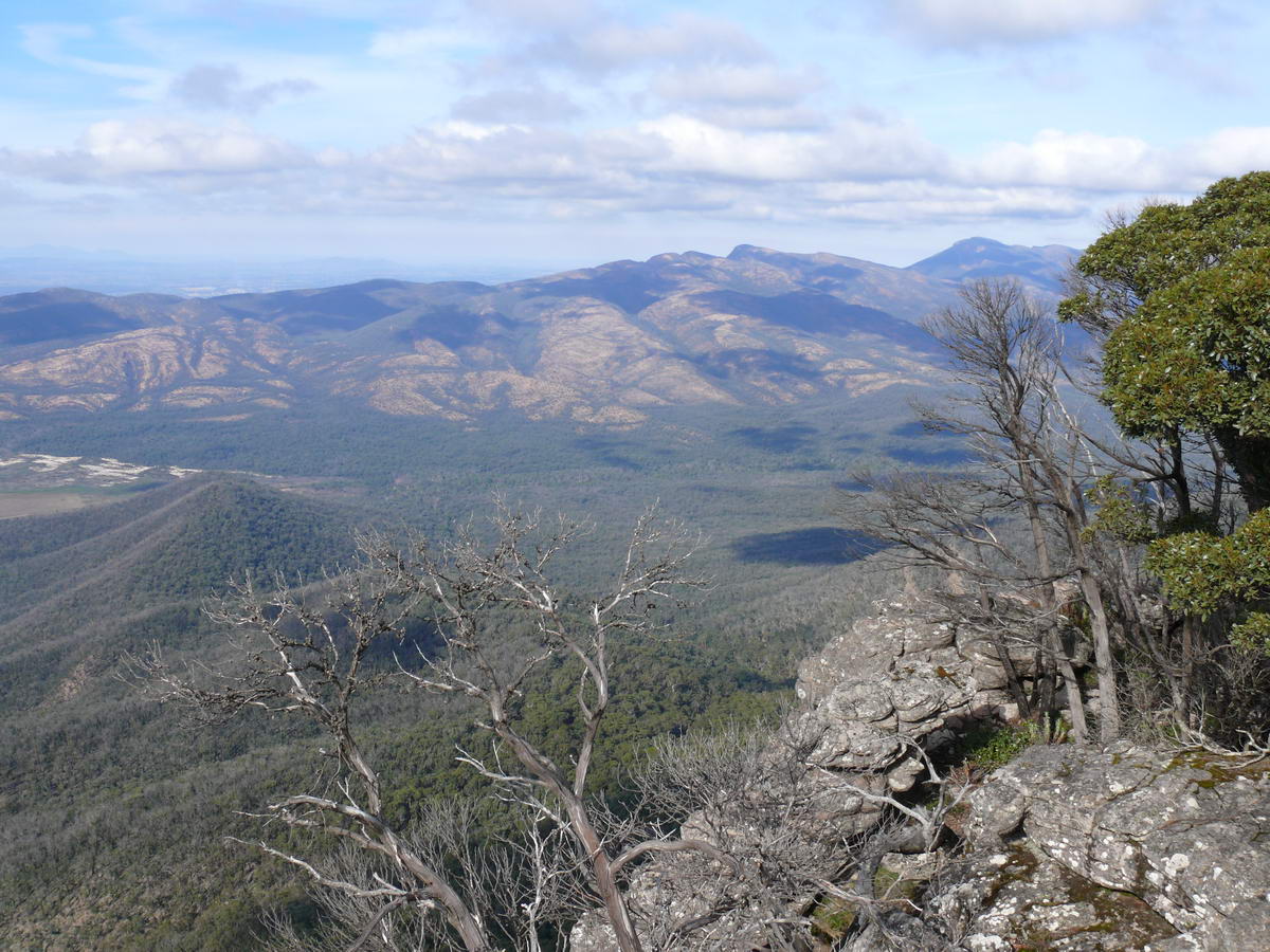
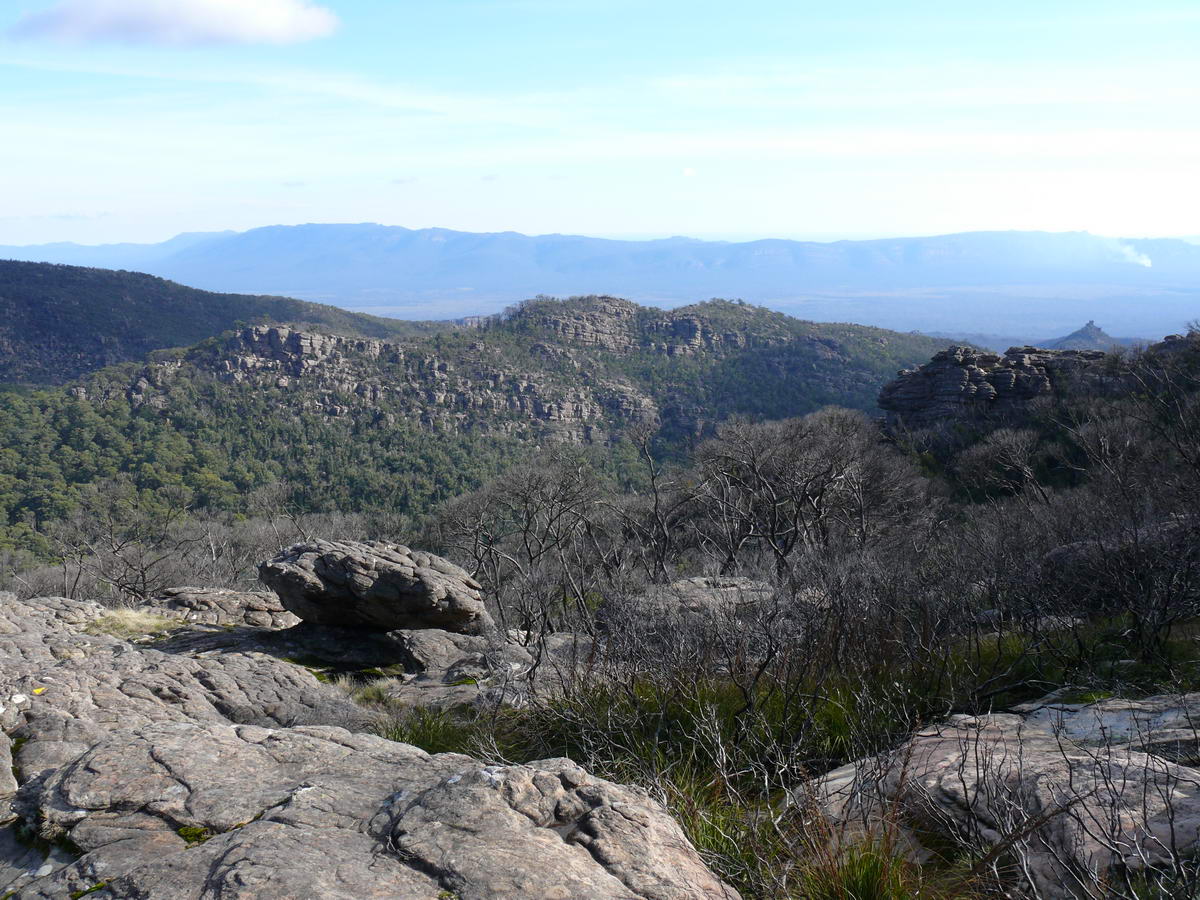
| Interesting and rugged mountains peaks. | We took our backpacks this time for warm tops, food and water. | Looking back down the hill that we have just started to climb. | A closer view. The pimple on the left is "Tower Hill", we think. |
 |
 |
 |
 |
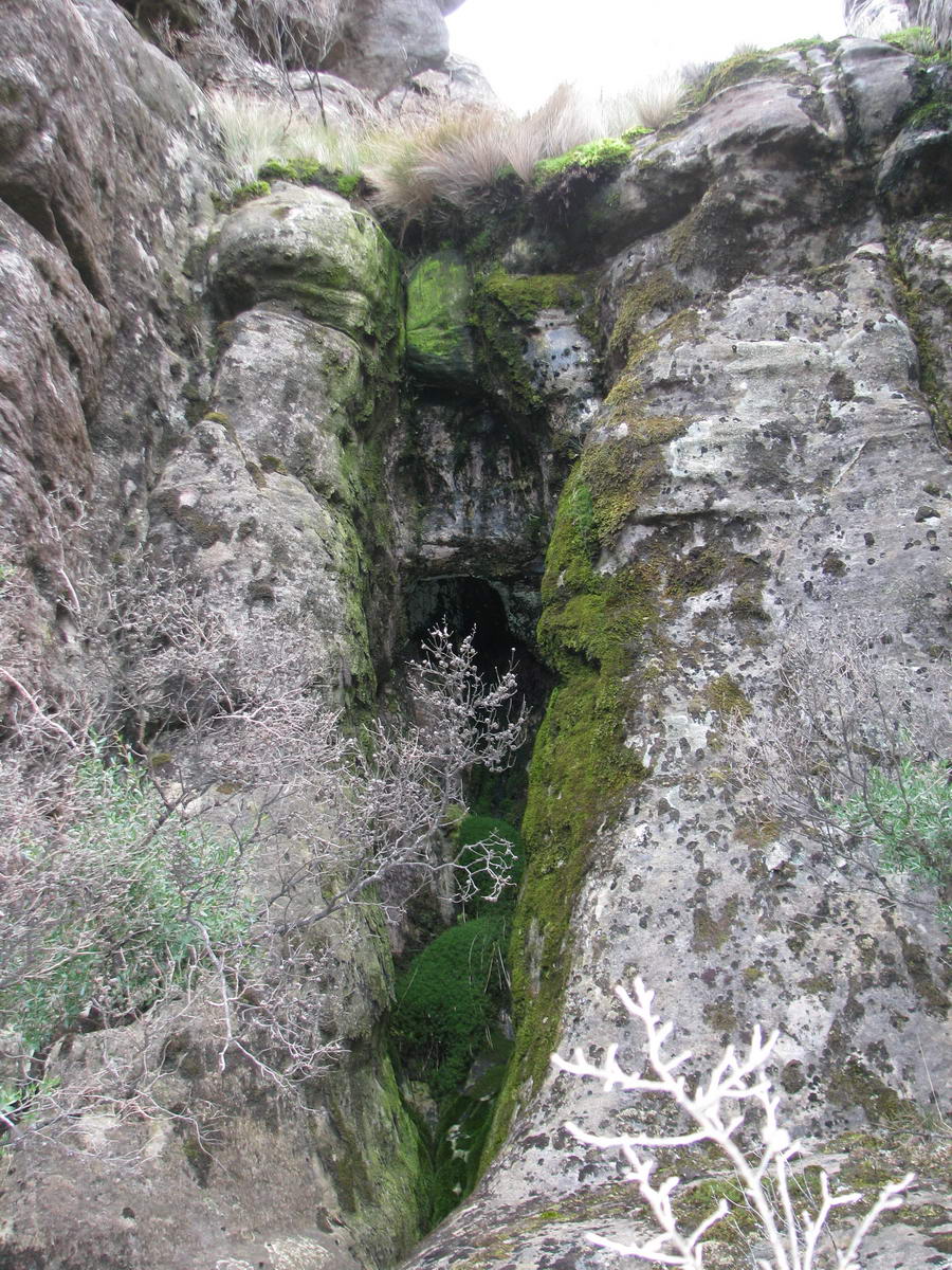
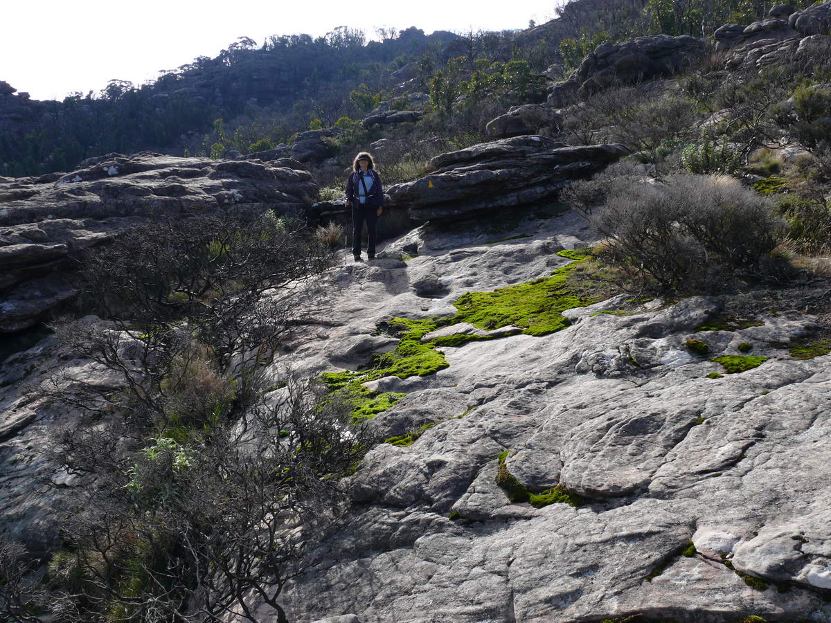
| The moss is quite green and wet - the result of recent rains. | Everything looks green and lush. | Looking back | The rugged way forward. |
 |
 |
 |
 |
| Through some boulders. | Some level ground for a short while. | The first glimpse of the valley we must cross. | We initially head right to find our way down to the valley floor then we head up to the left where over the ridge line awaits the top - our goal. |
 |
 |
 |
 |
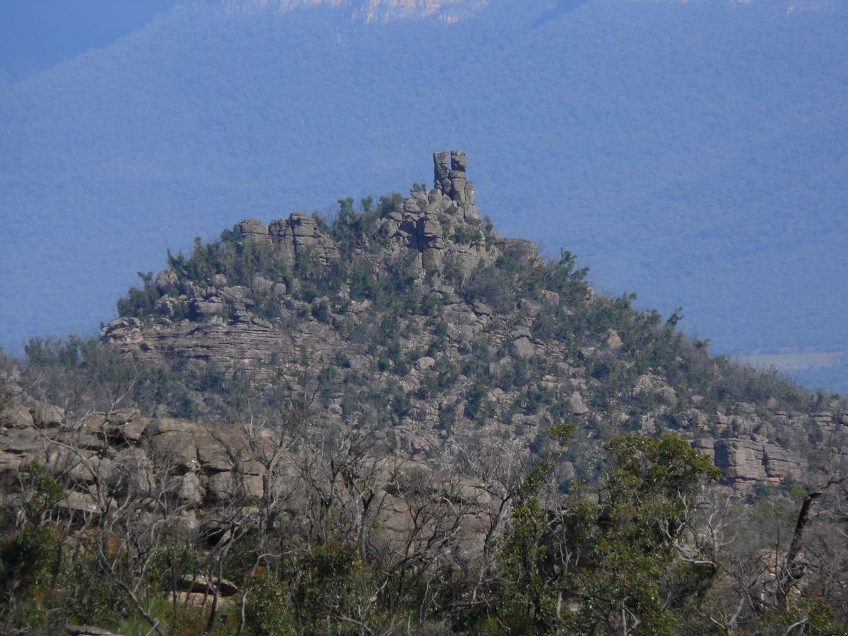
| Down we go to the floor. | A close-up of the funny hill top. This is called "Tower Hill" according to our maps at home. | Trigger Plants- getting ready for Spring. | Another wonderful view as we look back. |
 |
 |
 |
 |
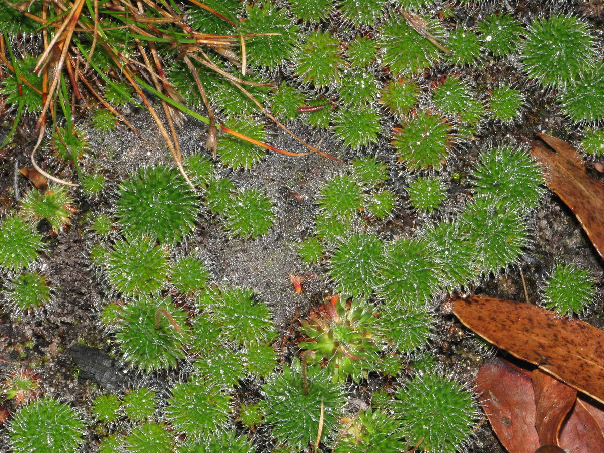
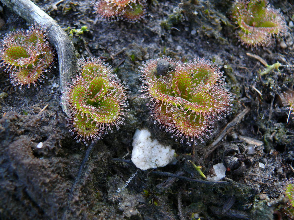
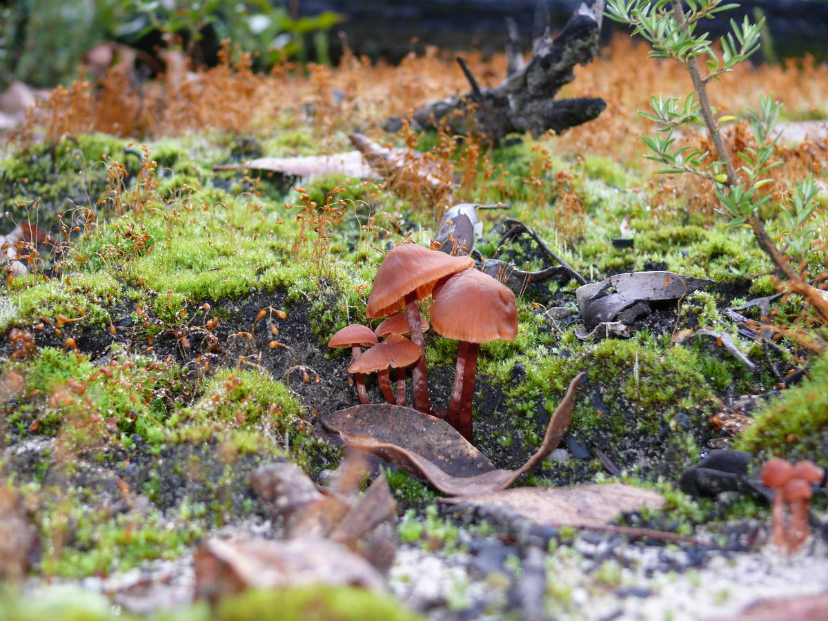
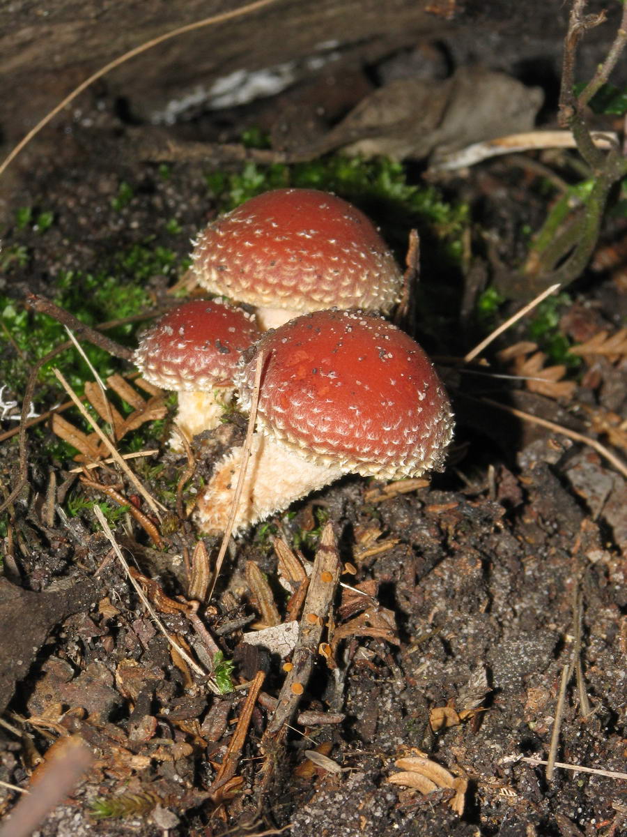
| Sundews - wet with the morning dew. | A small but steep decent. | Fungi | An easy path for awhile. |
|
|
|||
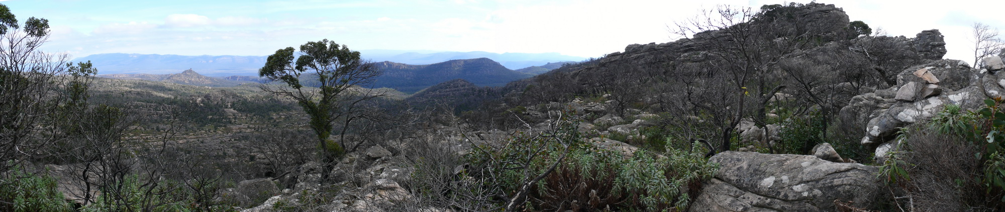
| Photostitch (3) What a view!!! | Full Size 2000 * 423 - 405 kb. | ||
 |
 |
 |
 |
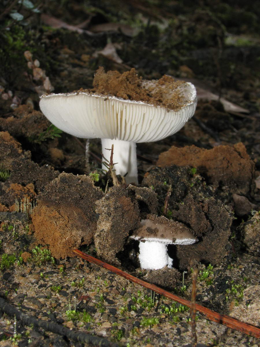
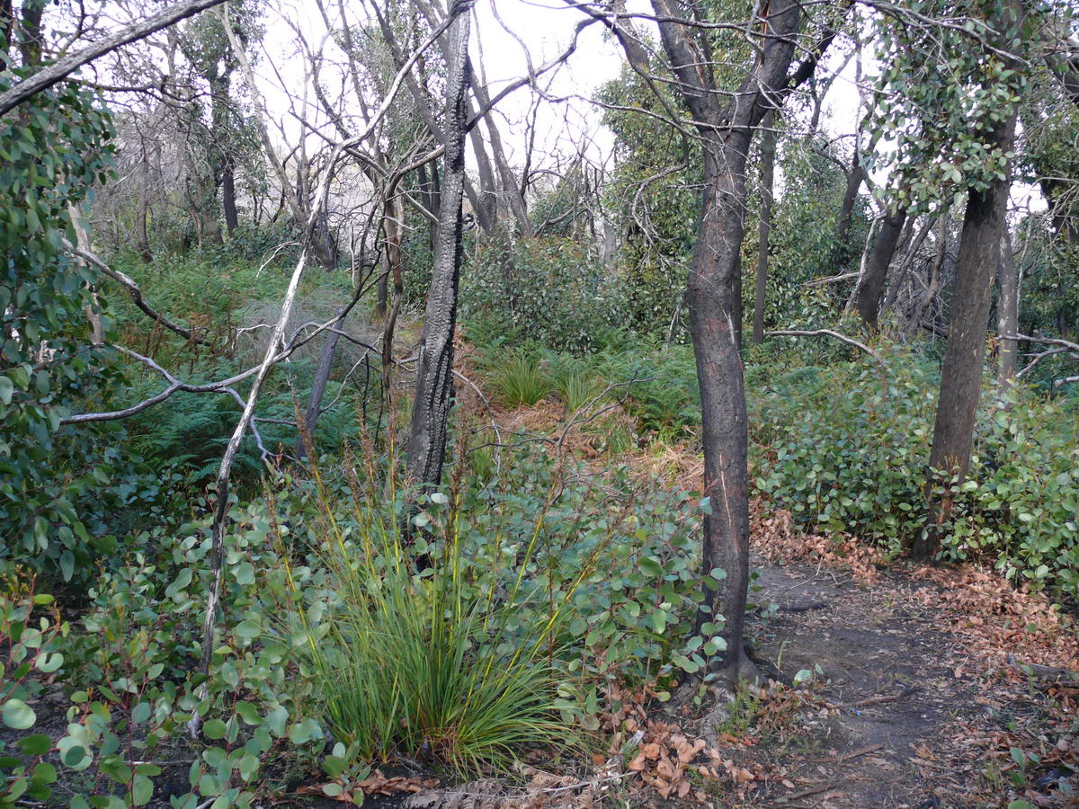
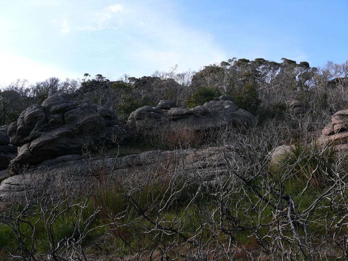
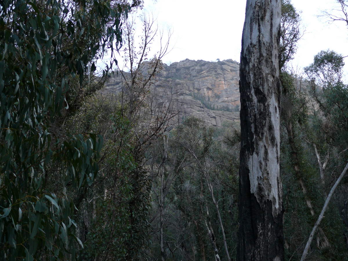
| More fungi - just up I'd say! | Rock marking - an amazing pattern. | A few years ago this was all green with tall trees - it will be again I'm sure. | The slope up gets tricky - we are after all climbing a mountain. |
 |
 |
 |
 |
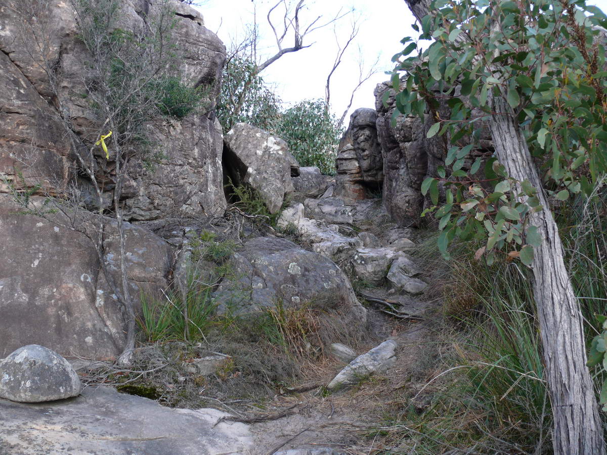
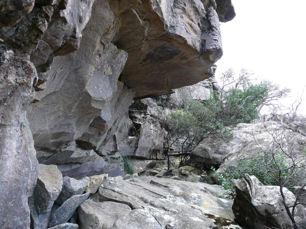
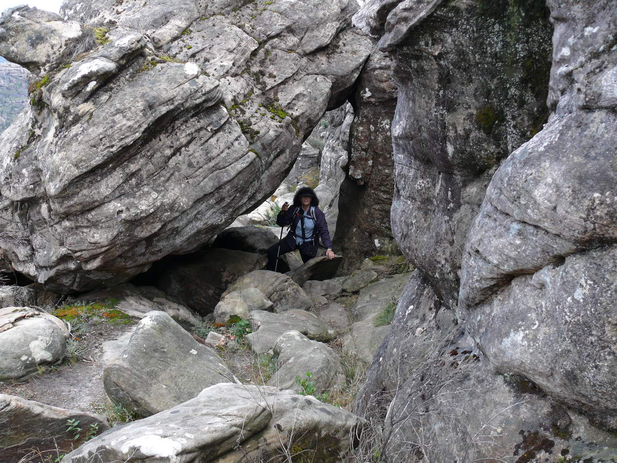
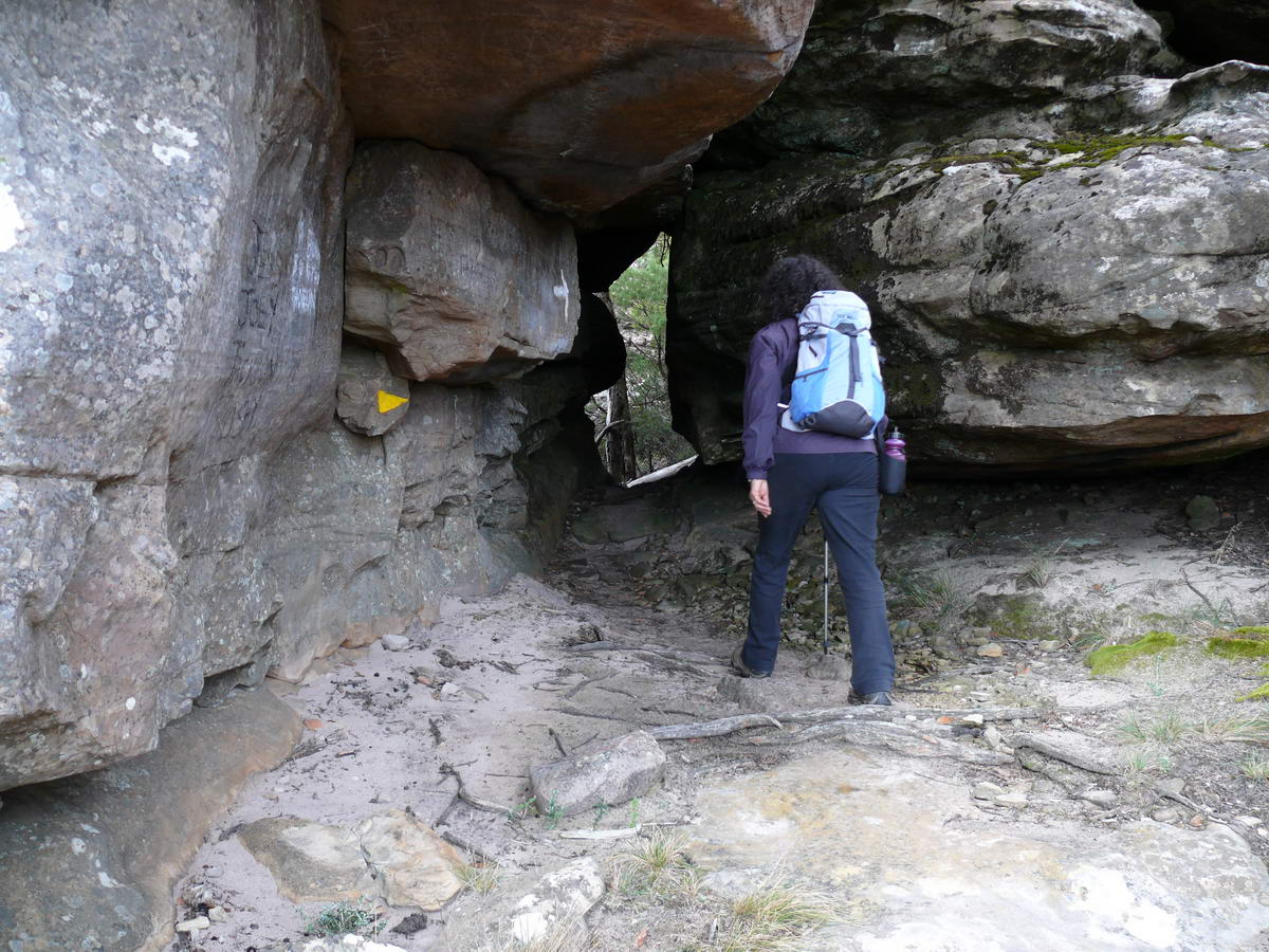
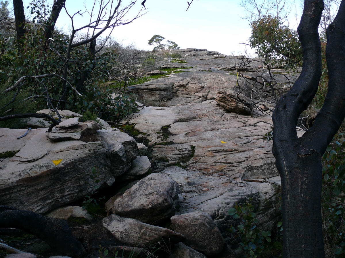
| A good place to get out of the rain - we used it last time. | These yellow markers do come in handy - always make sure you can see one before you head off into nowhere. | The rock hoping starts | |
 |
 |
 |
 |
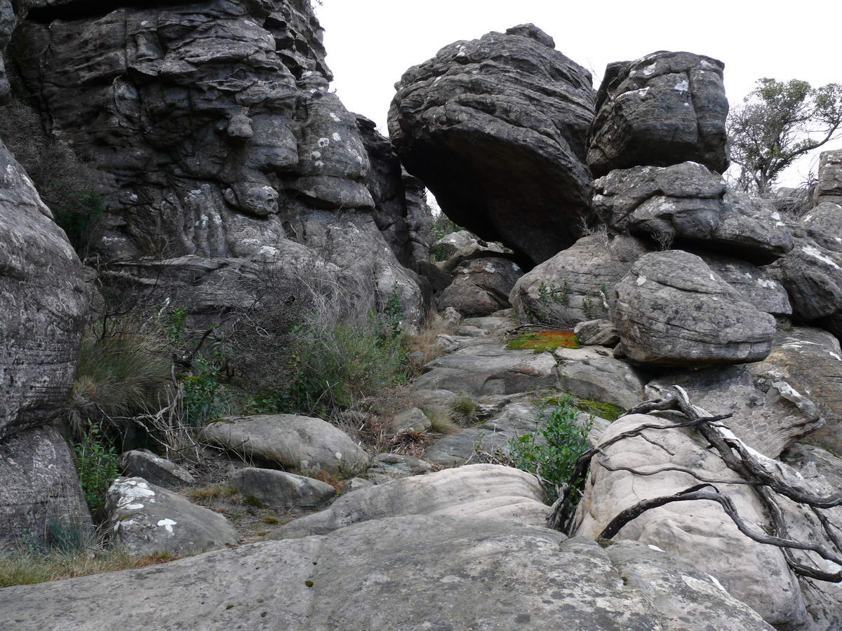
| A lush little wedge | There are quite a few natural "caves" | ||
 |
 |
 |
 |
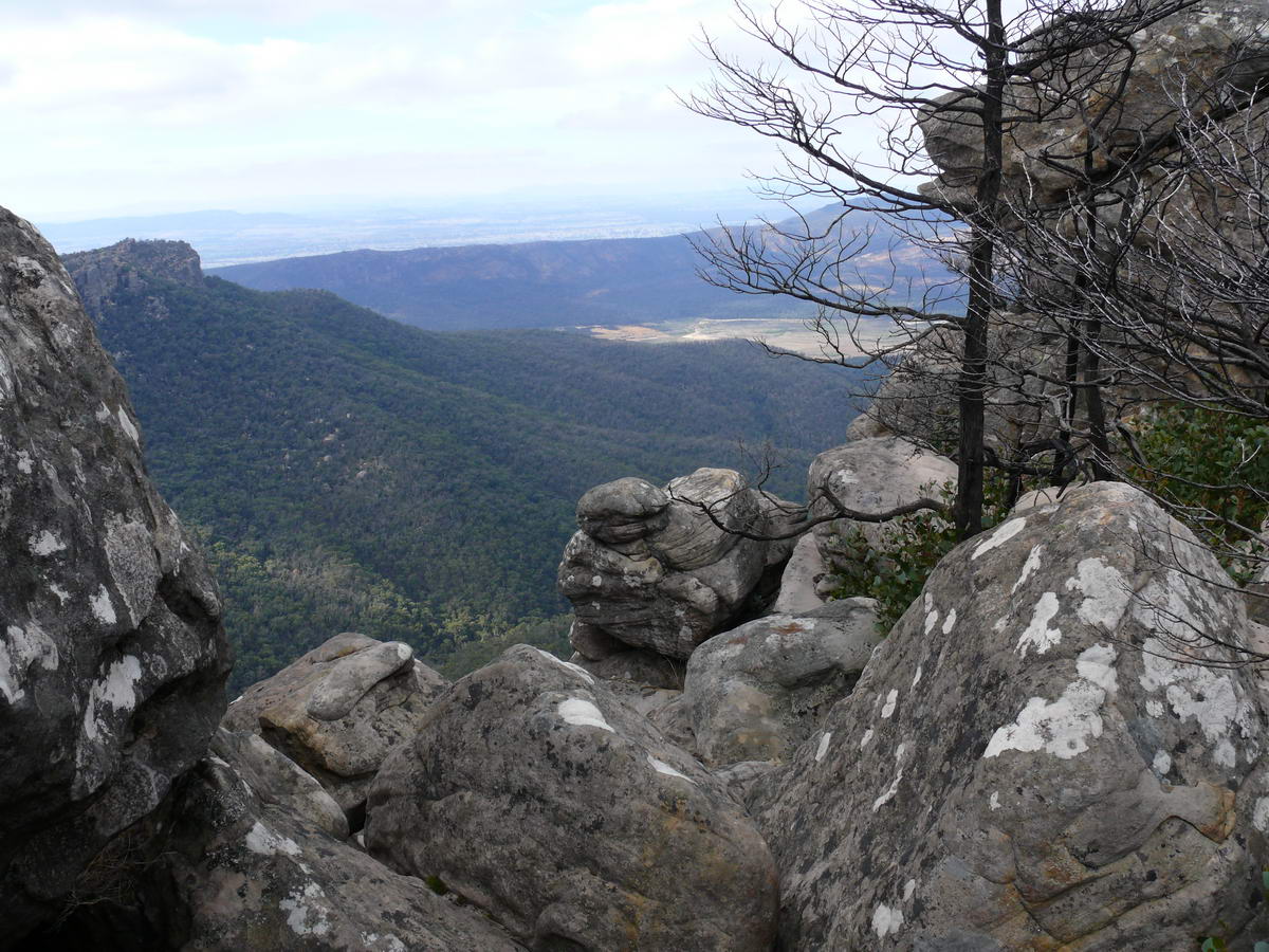
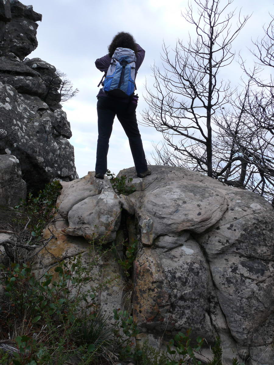
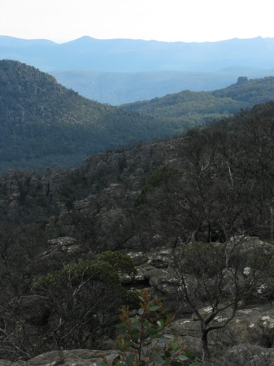
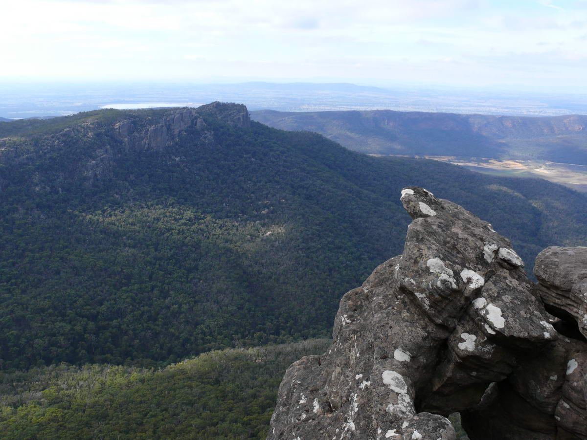
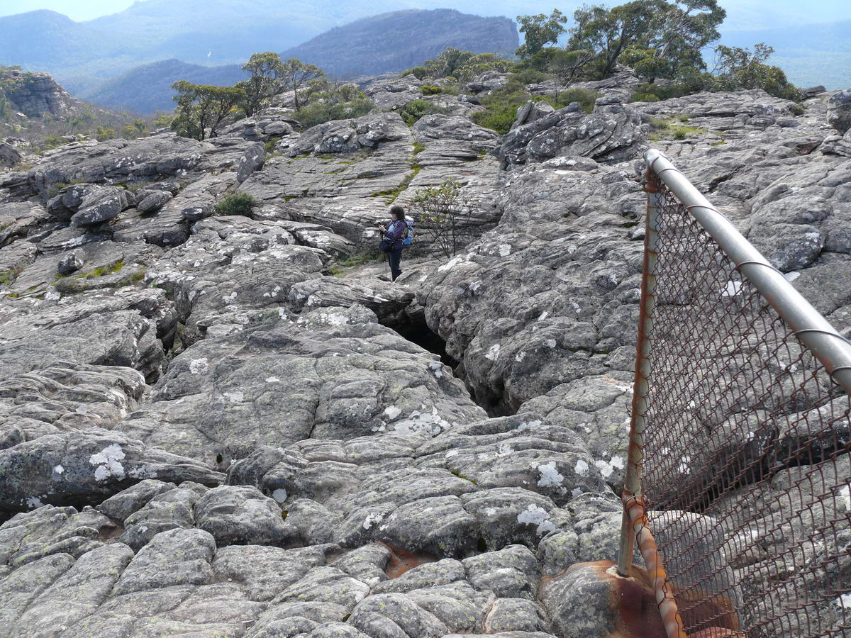
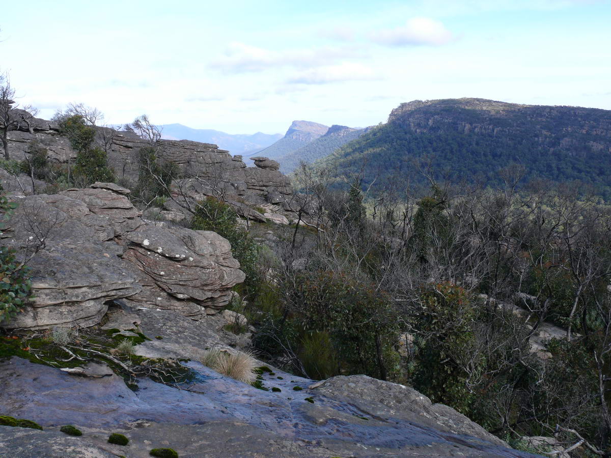
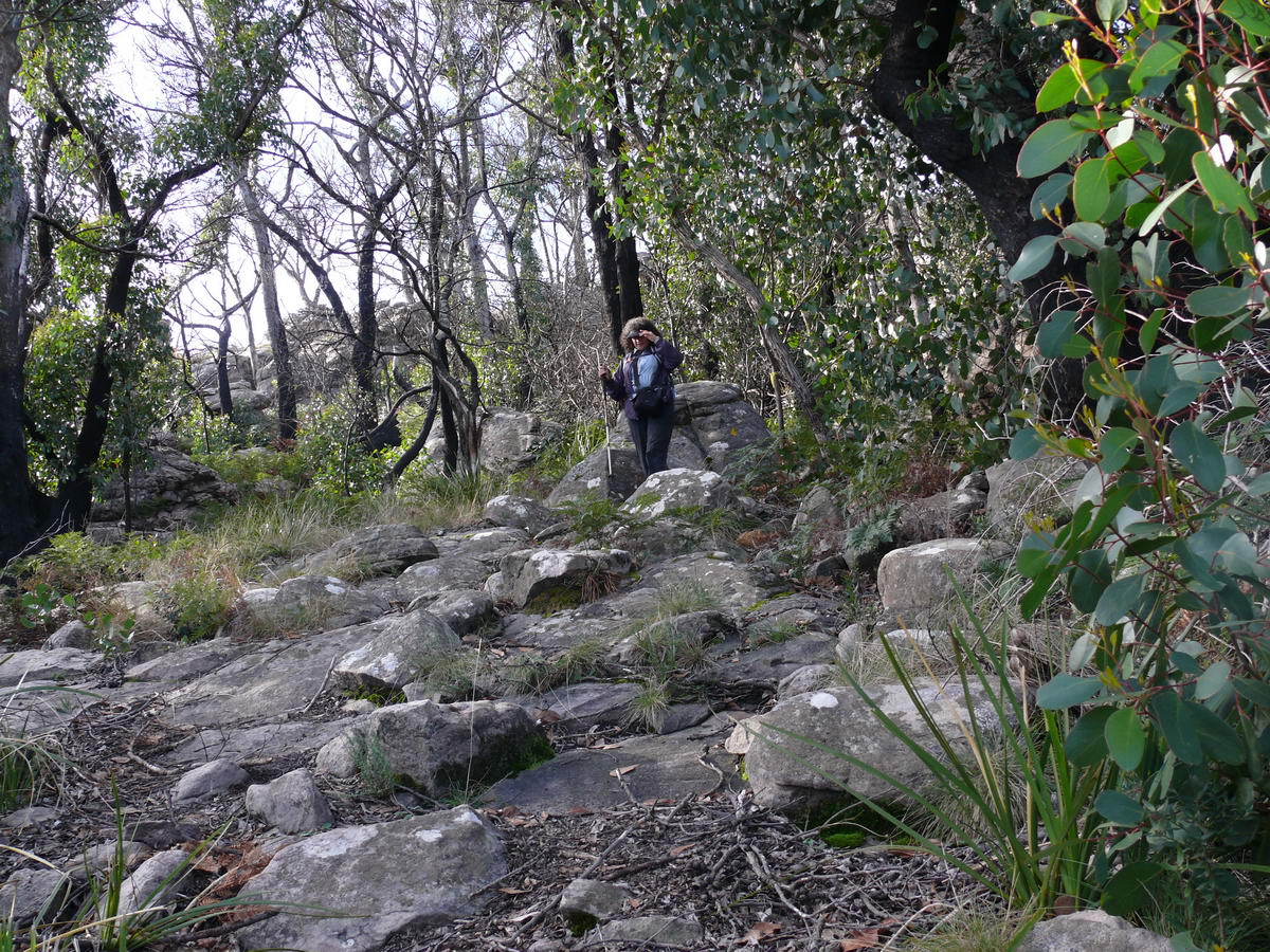
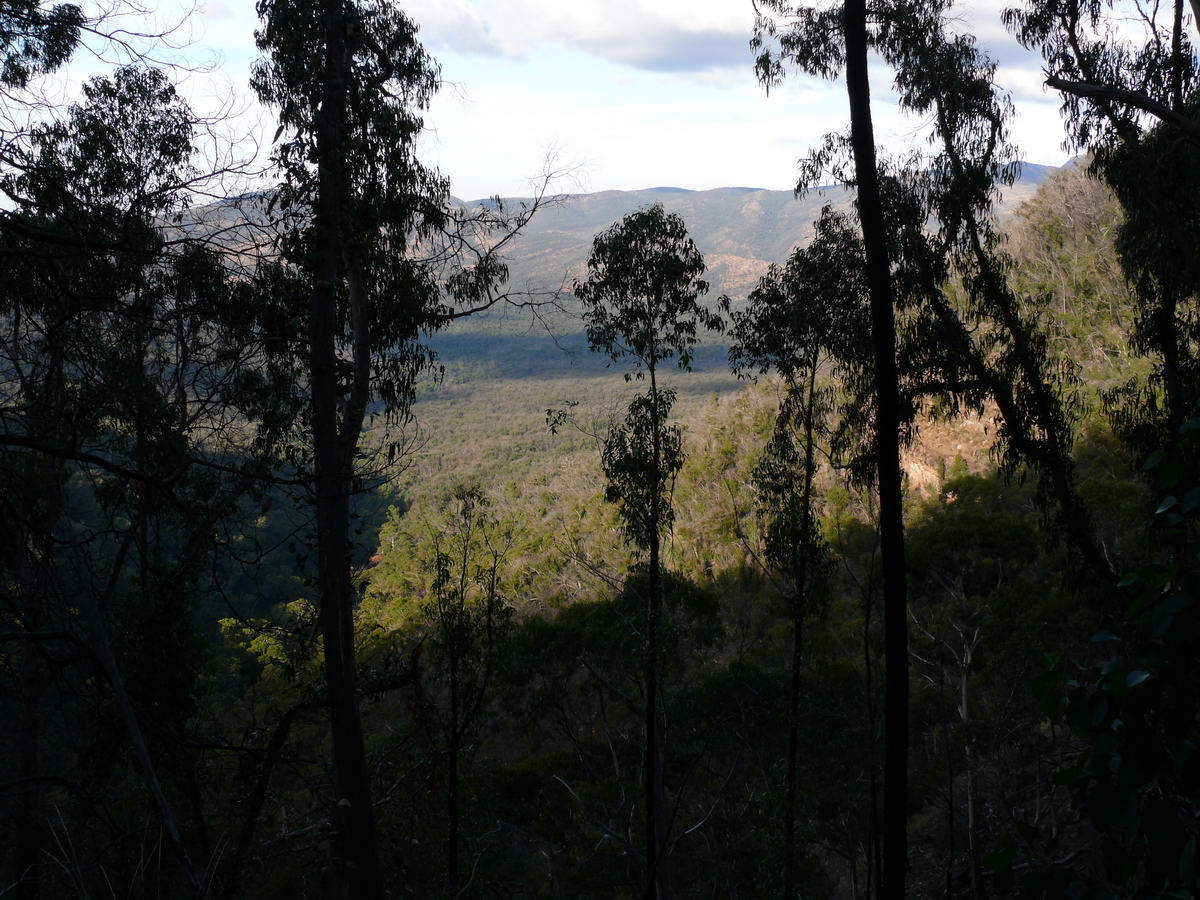
| We get to the saddle and get some views towards Halls Gap. | The old route passed nearby but with the fire its hard to tell where it meets the new track. | Got to get that great shot. | |
 |
 |
 |
 |
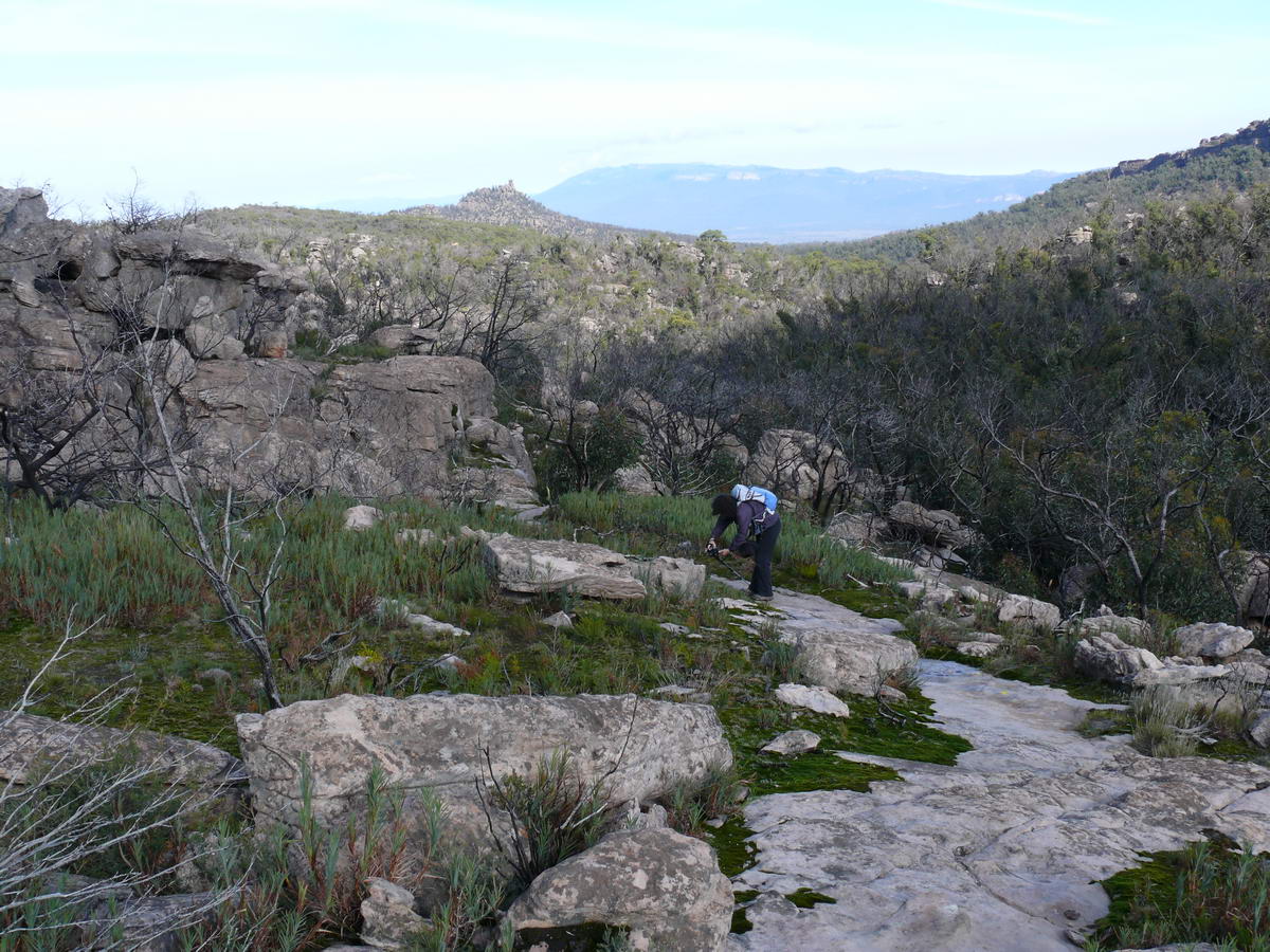
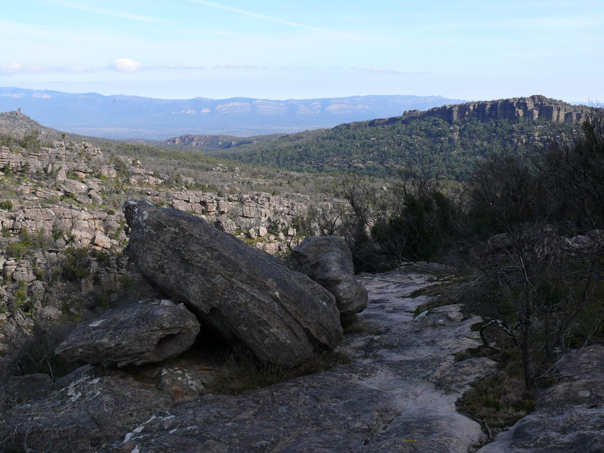
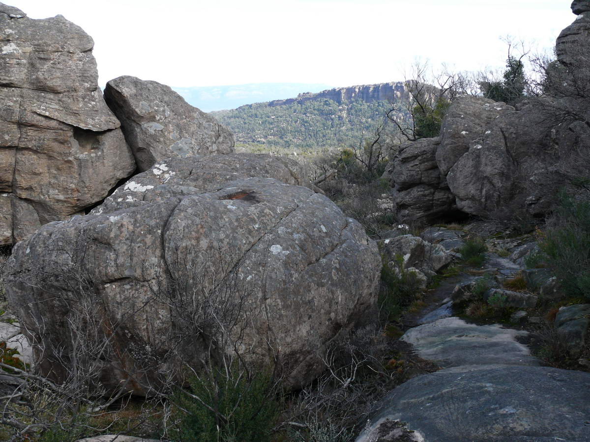
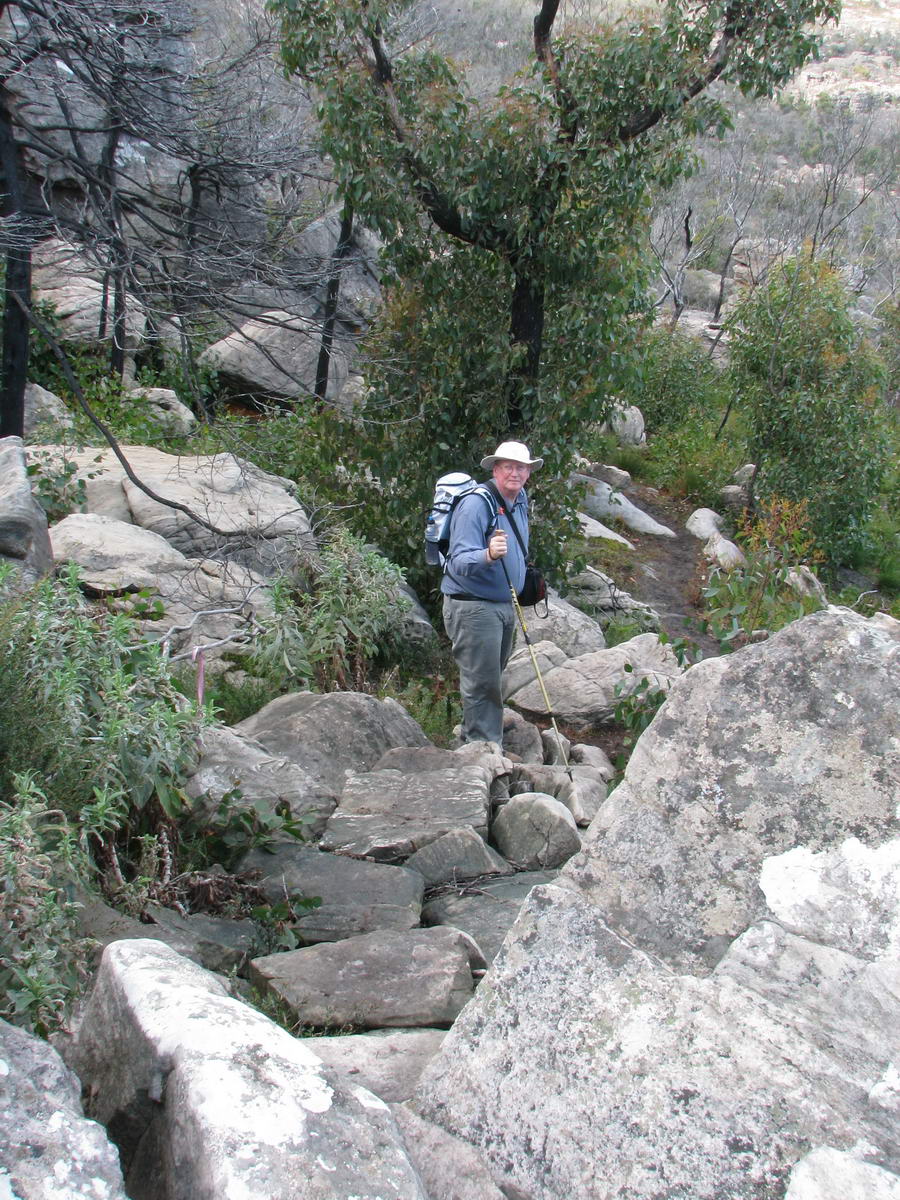
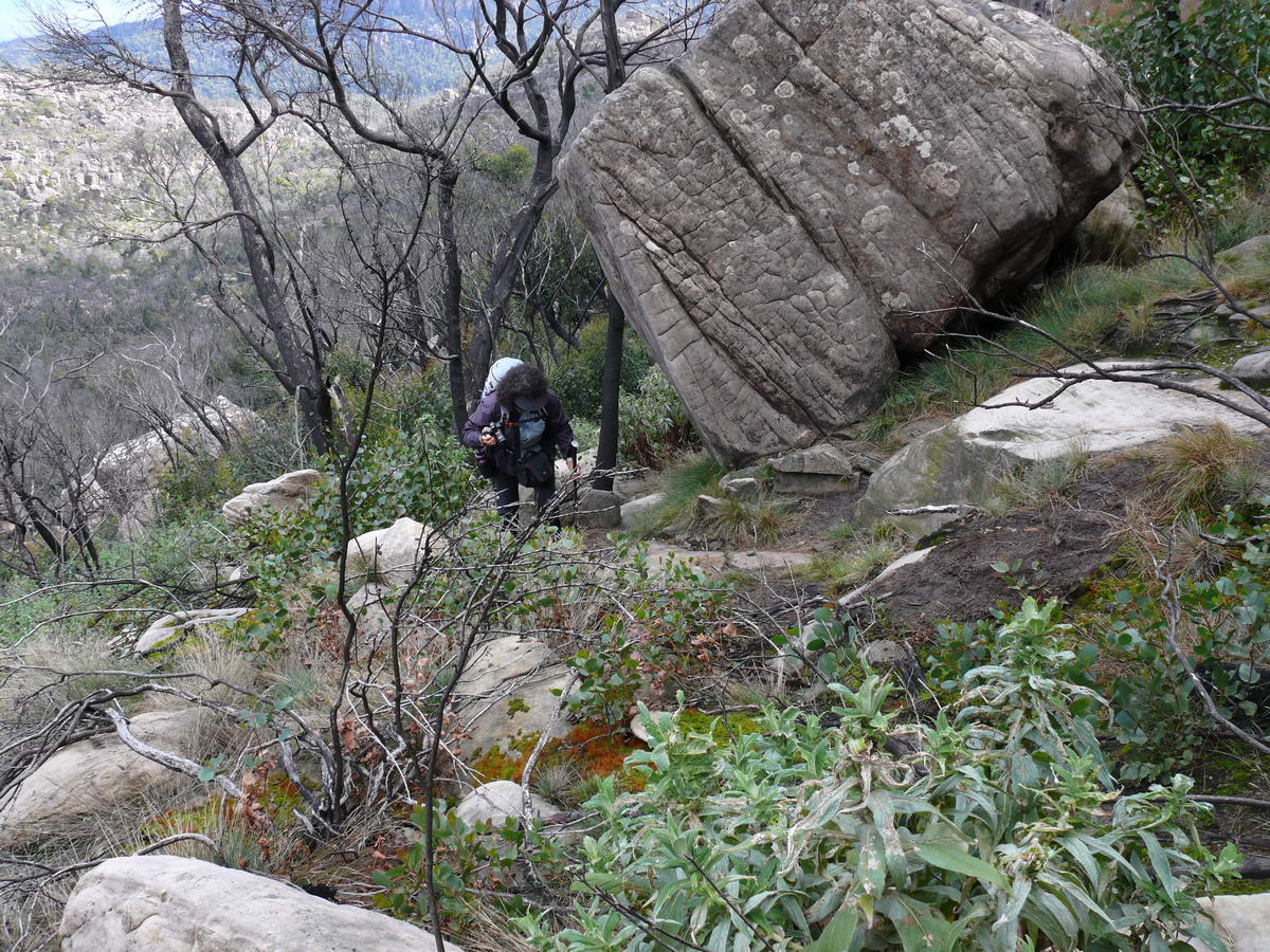
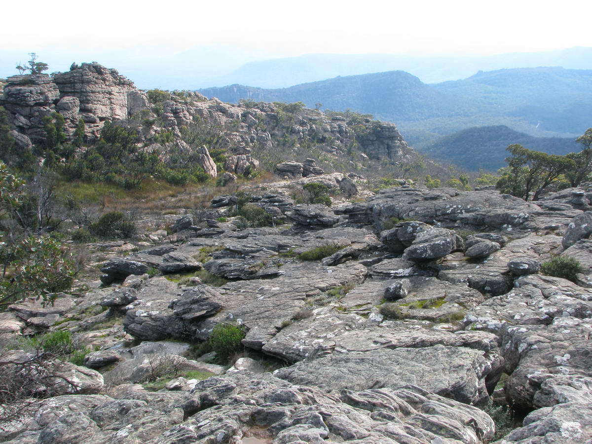
| A long way to the top yet but the views are worth the effort. | We start to weave our way though the huge boulders along the ridge line. | ||
|
|
|||
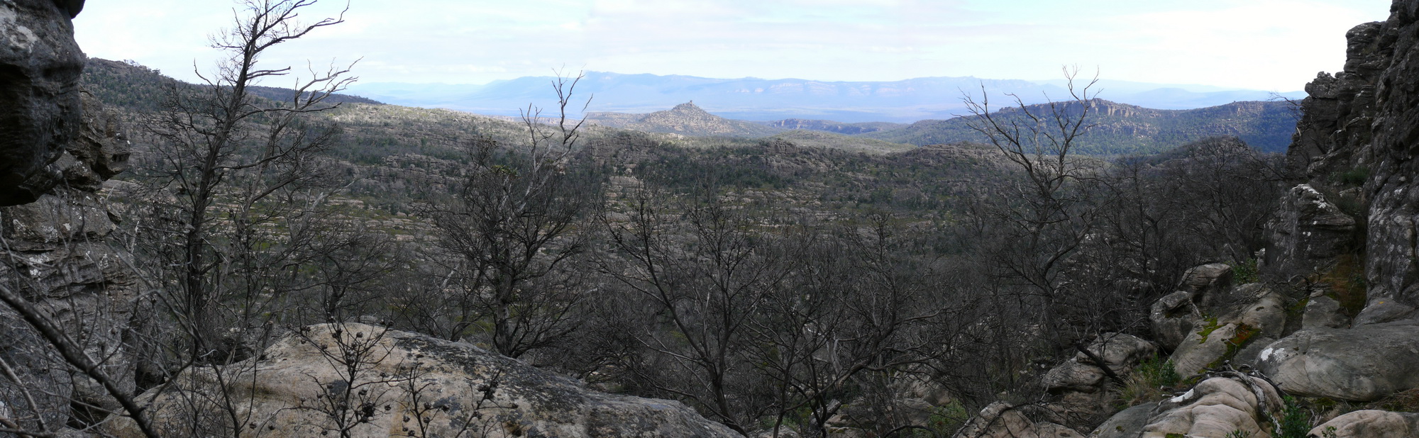
| Photostitch (2) The vista is breathtaking! | Full Size 2000 * 618 - 552 kb | ||
 |
 |
 |
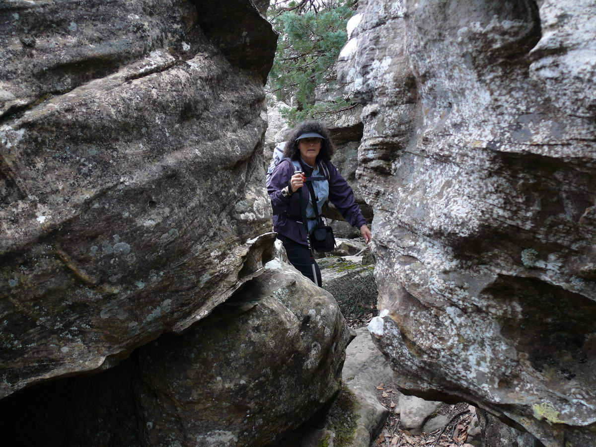 |
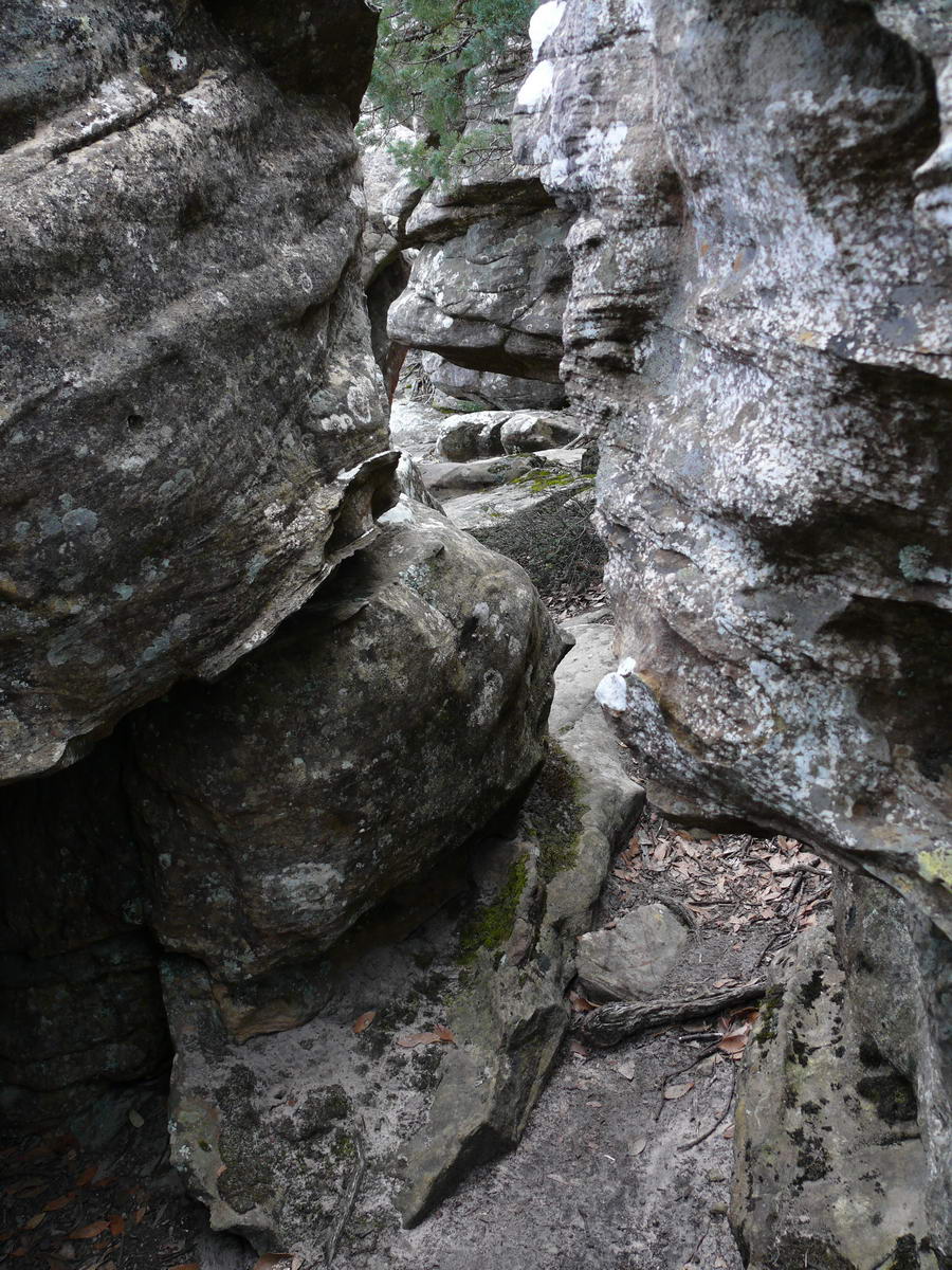
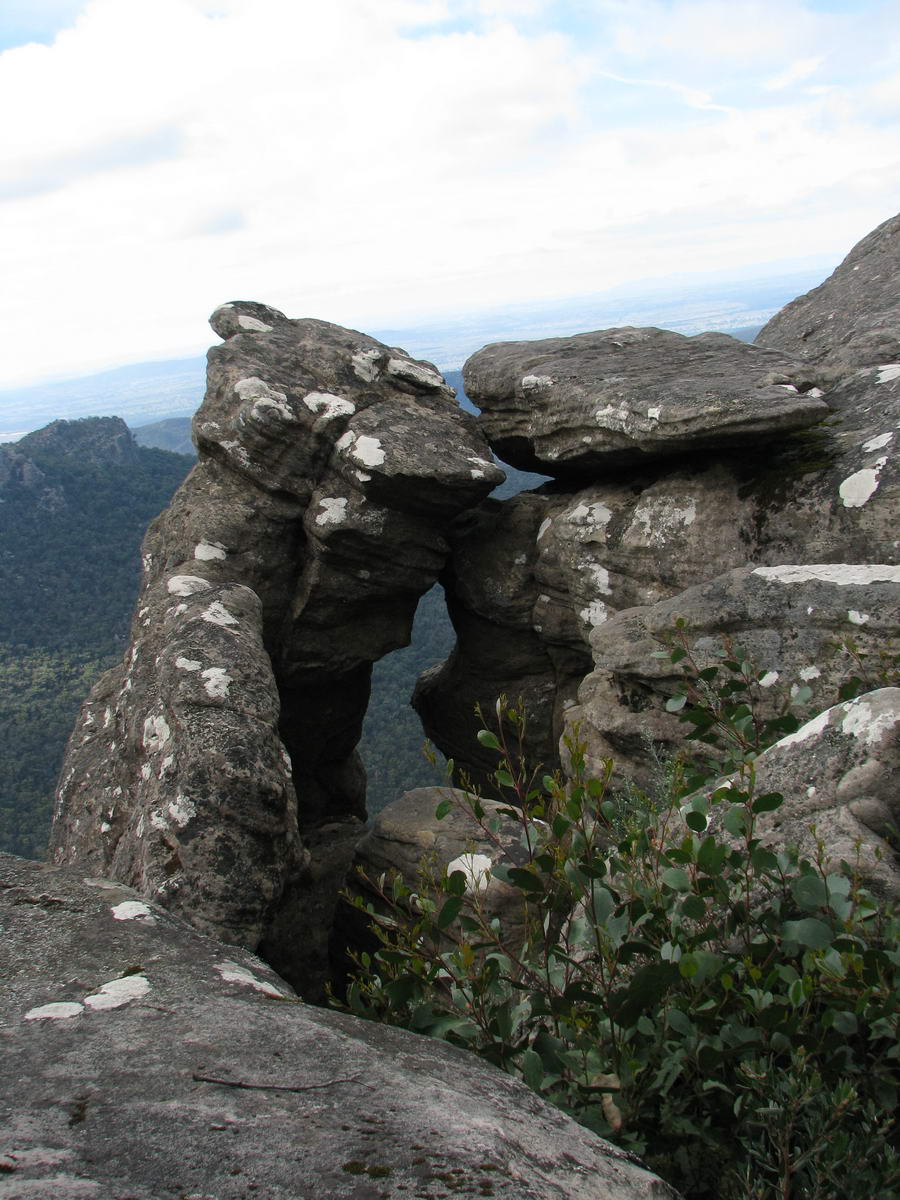
| Heath - our state flower. | Tower Hill in the distance. | For me a "squeezy" walkway. | Not for others. |
 |
 |
 |
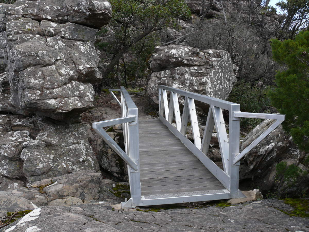 |
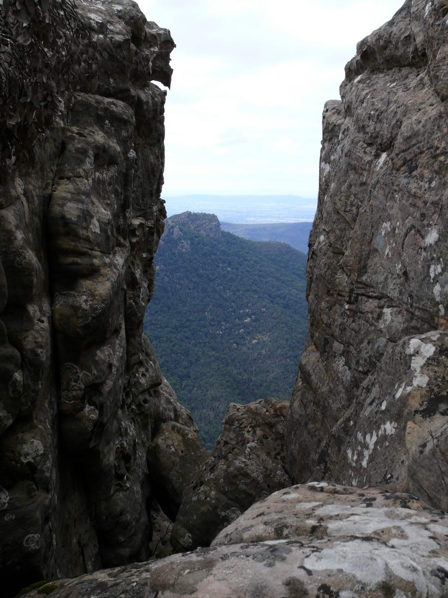
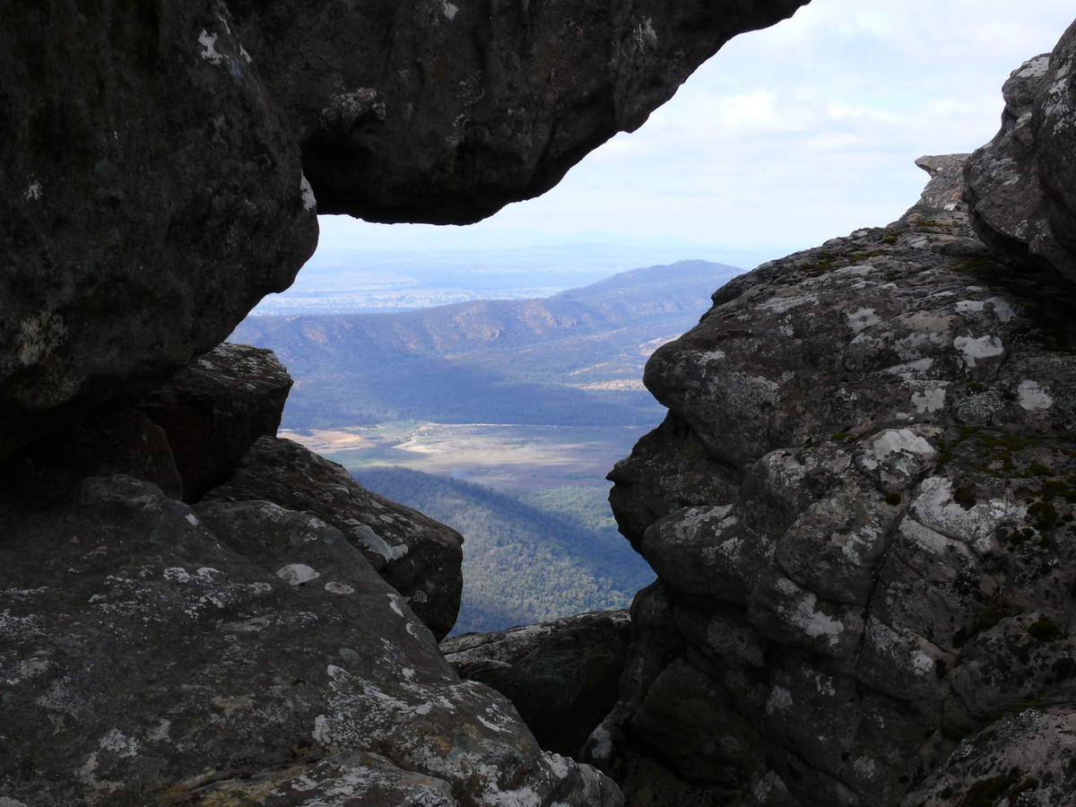
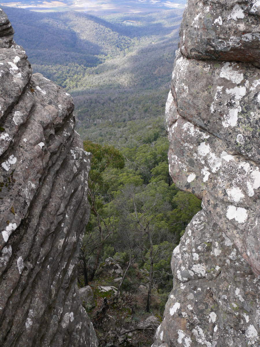
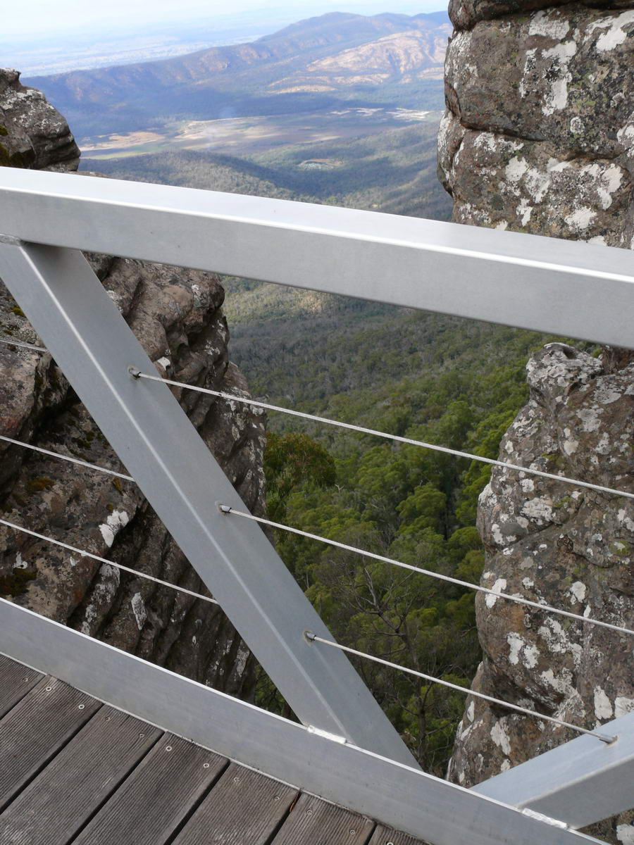
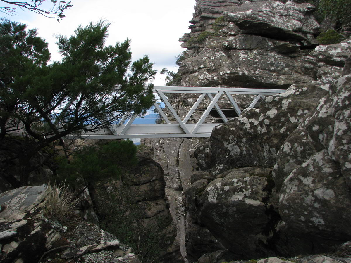
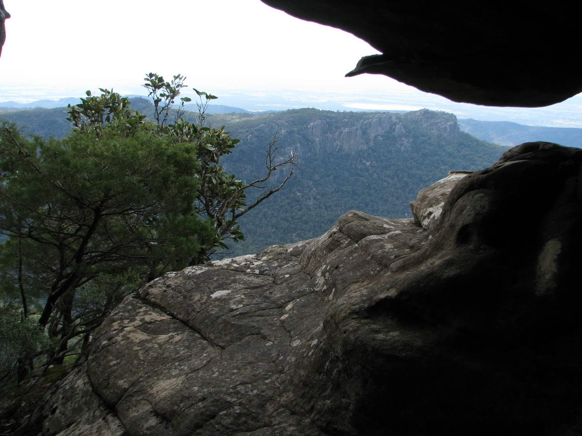
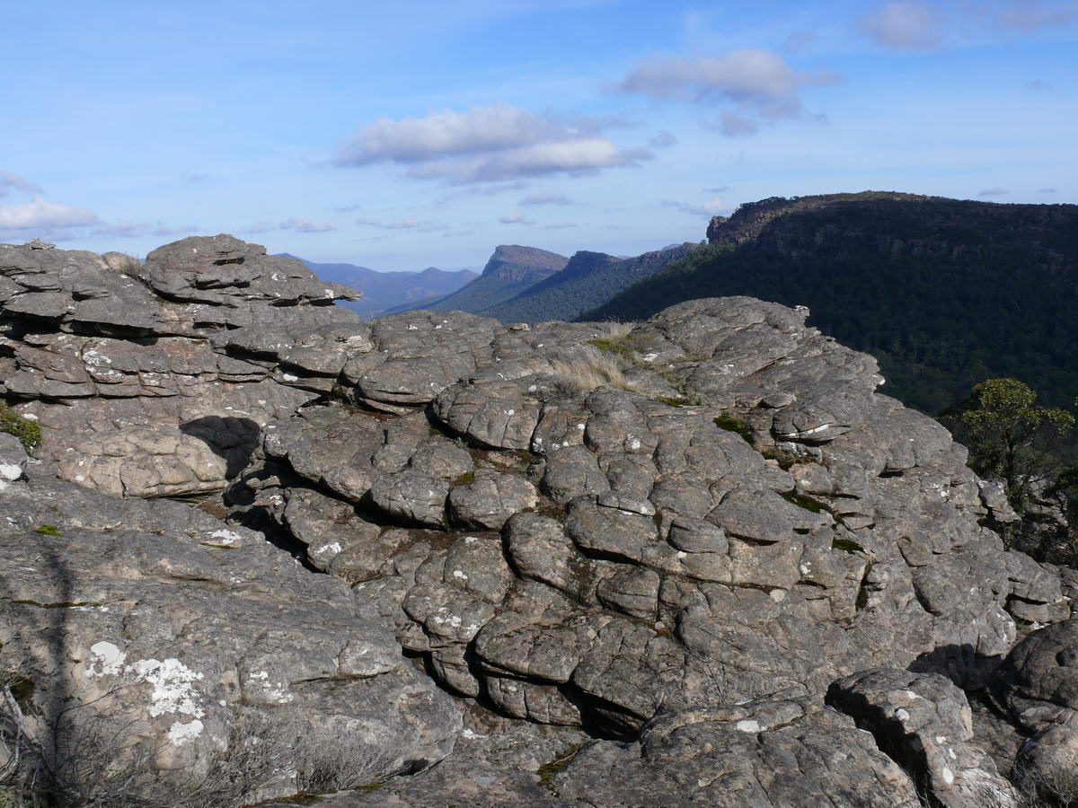
| Just great views from all angles up here. | A nice steel bridge - should be more fire resistant than wood. The chasm is called the " Gate of the East Wind". | ||
 |
 |
 |
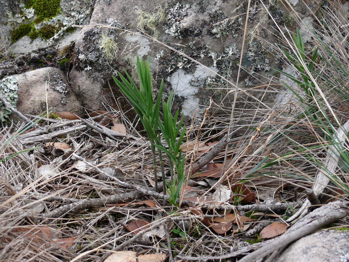 |
| A long drop down - thanks for the bridge Mr. Ranger. | It does afford a good view as well. | The bridge from another angle. | We see another orchid here - a few months off yet before it flowers. |
 |
 |
 |
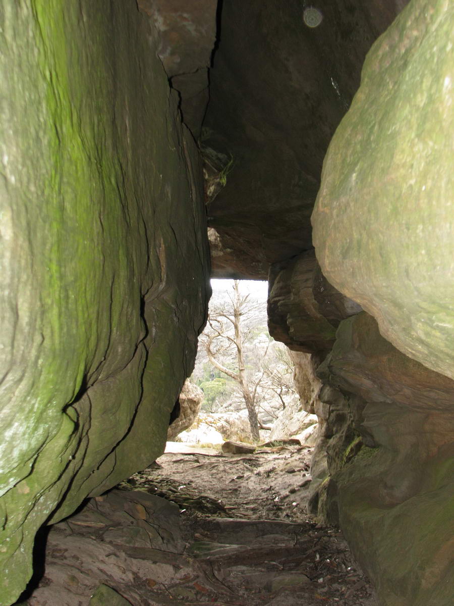 |
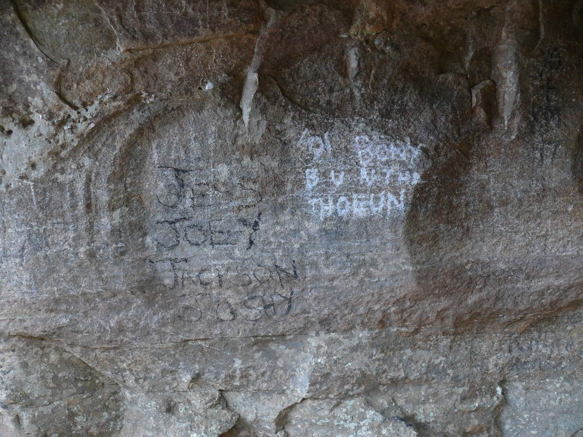
| Tunnels again. | I'm sure Joey and mates are proud of this but I'm not. | ||
 |
 |
 |
 |
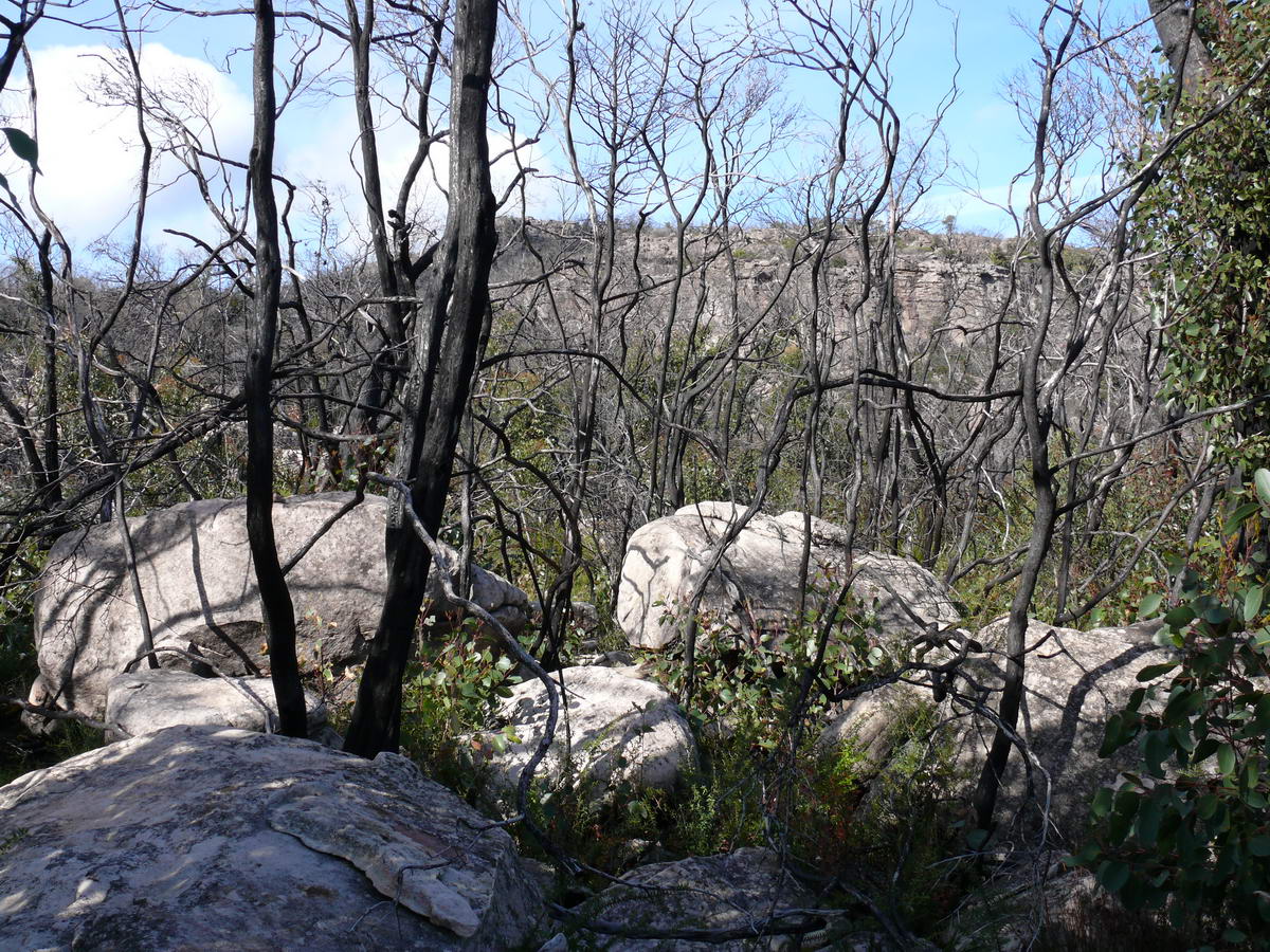
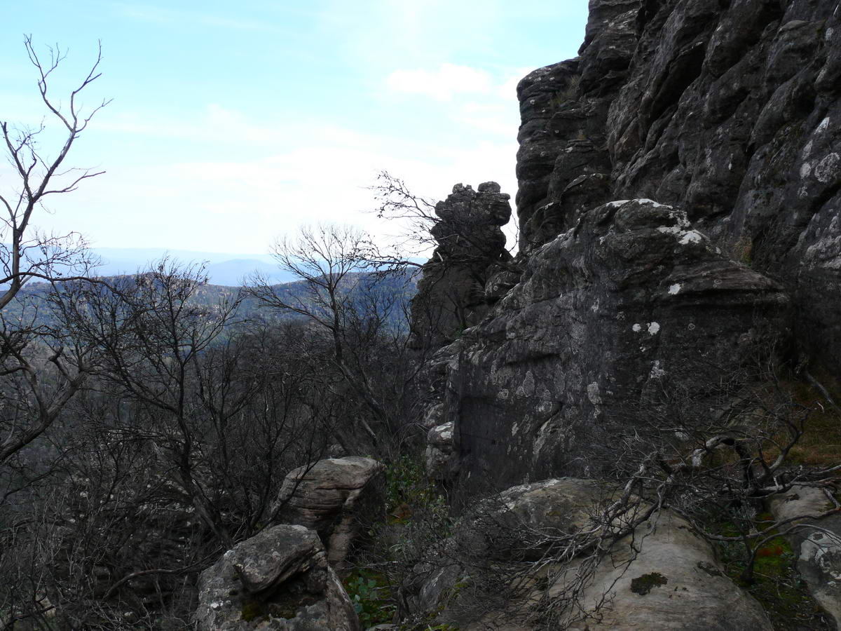
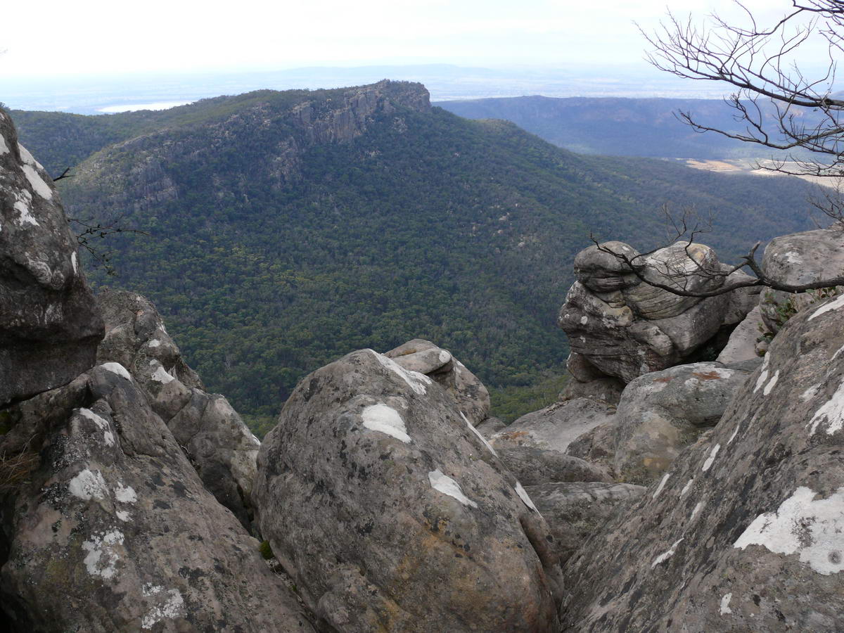
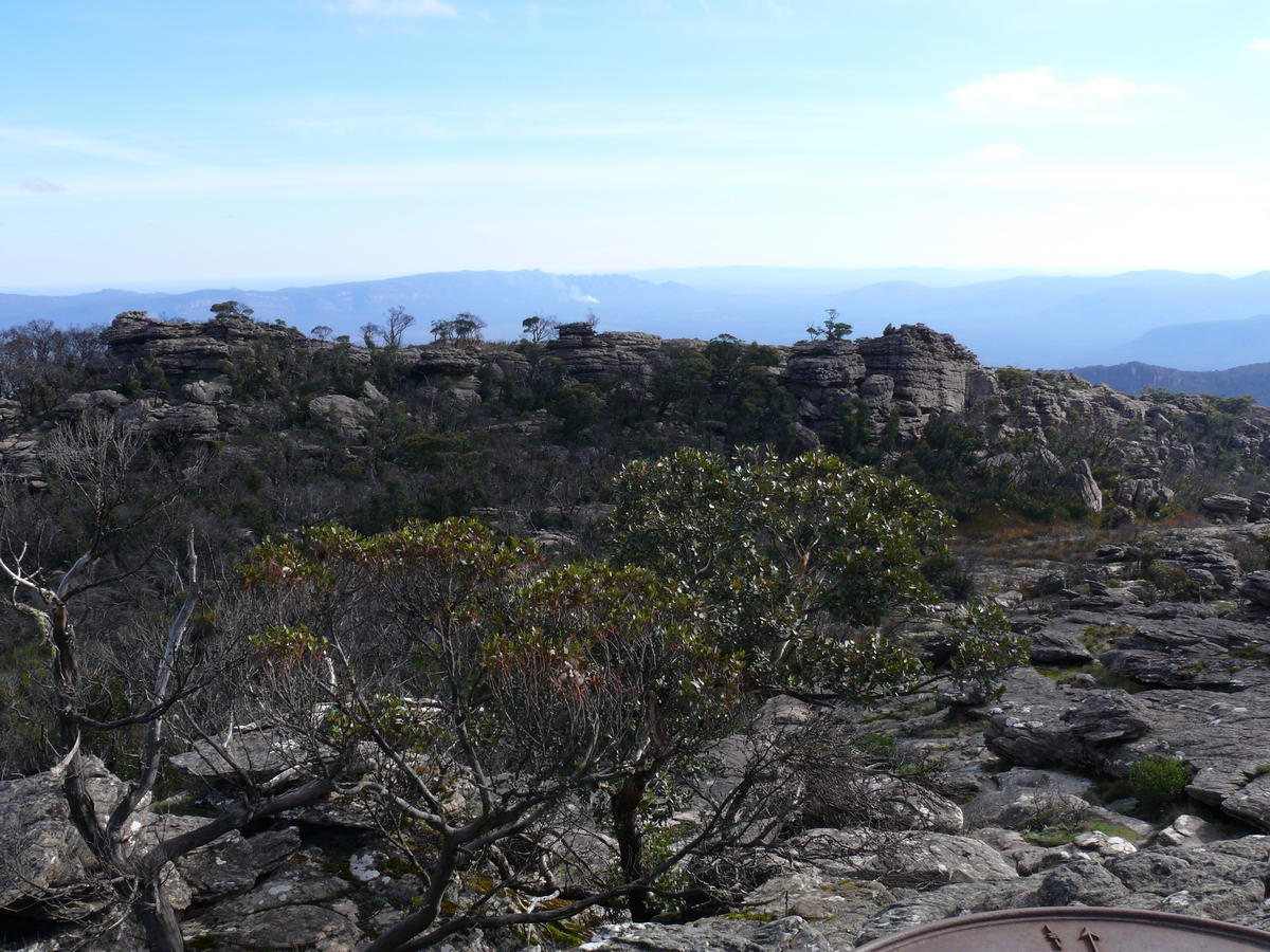
| The fire seemed to miss this area and all looked quite natural. | I thought this must be the top - we are close now. | ||
 |
 |
 |
 |
| Looking back the way we came up | |||
 |
 |
 |
 |
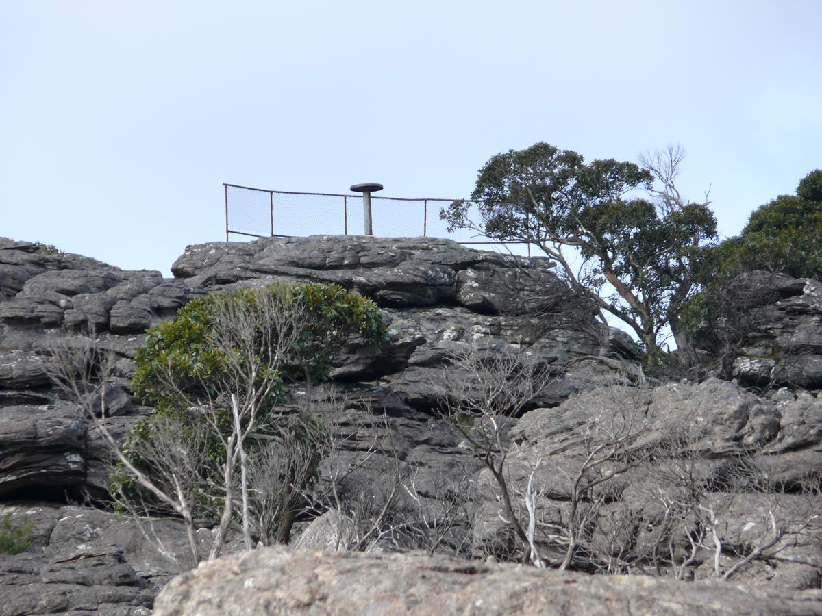
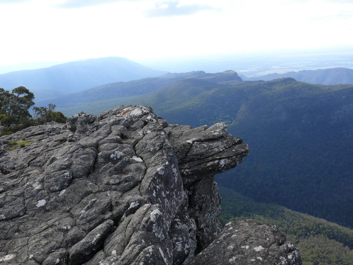
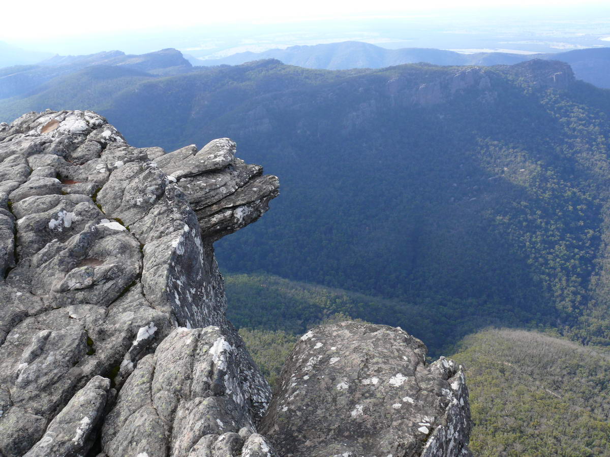
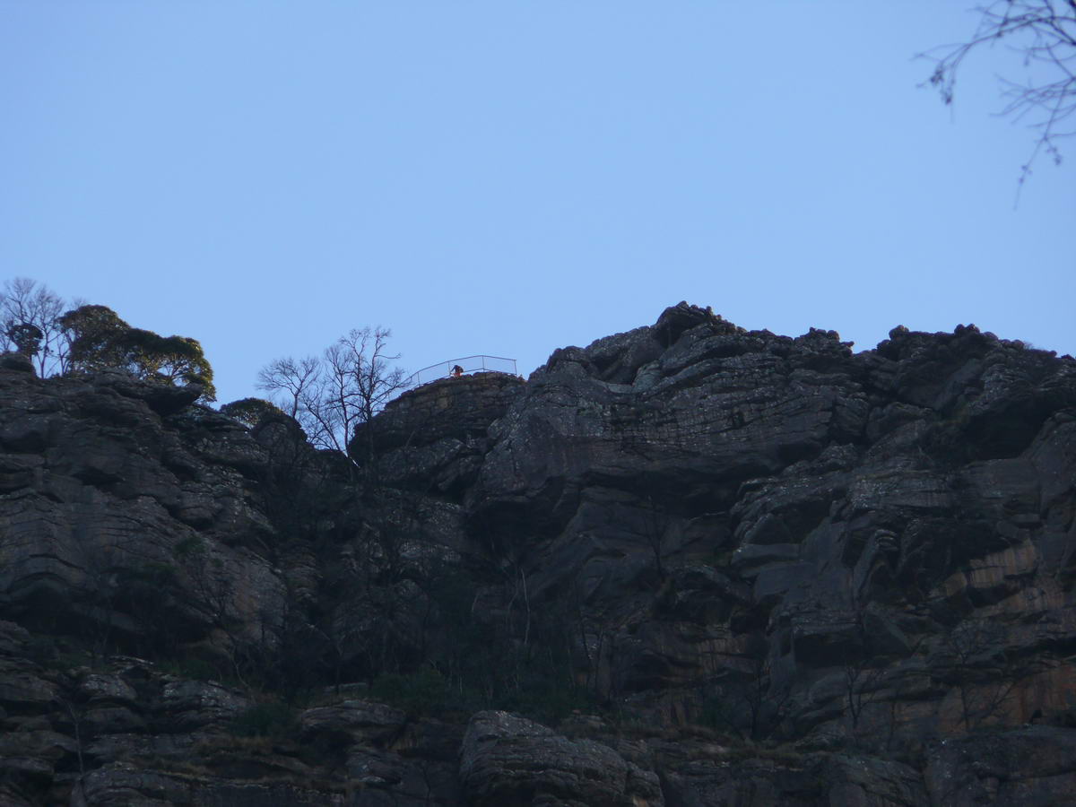
| Then I see it - the real top - the look-out comes into view. | Full Zoom - to confirm it. | Still a bit more to go. | |
 |
 |
 |
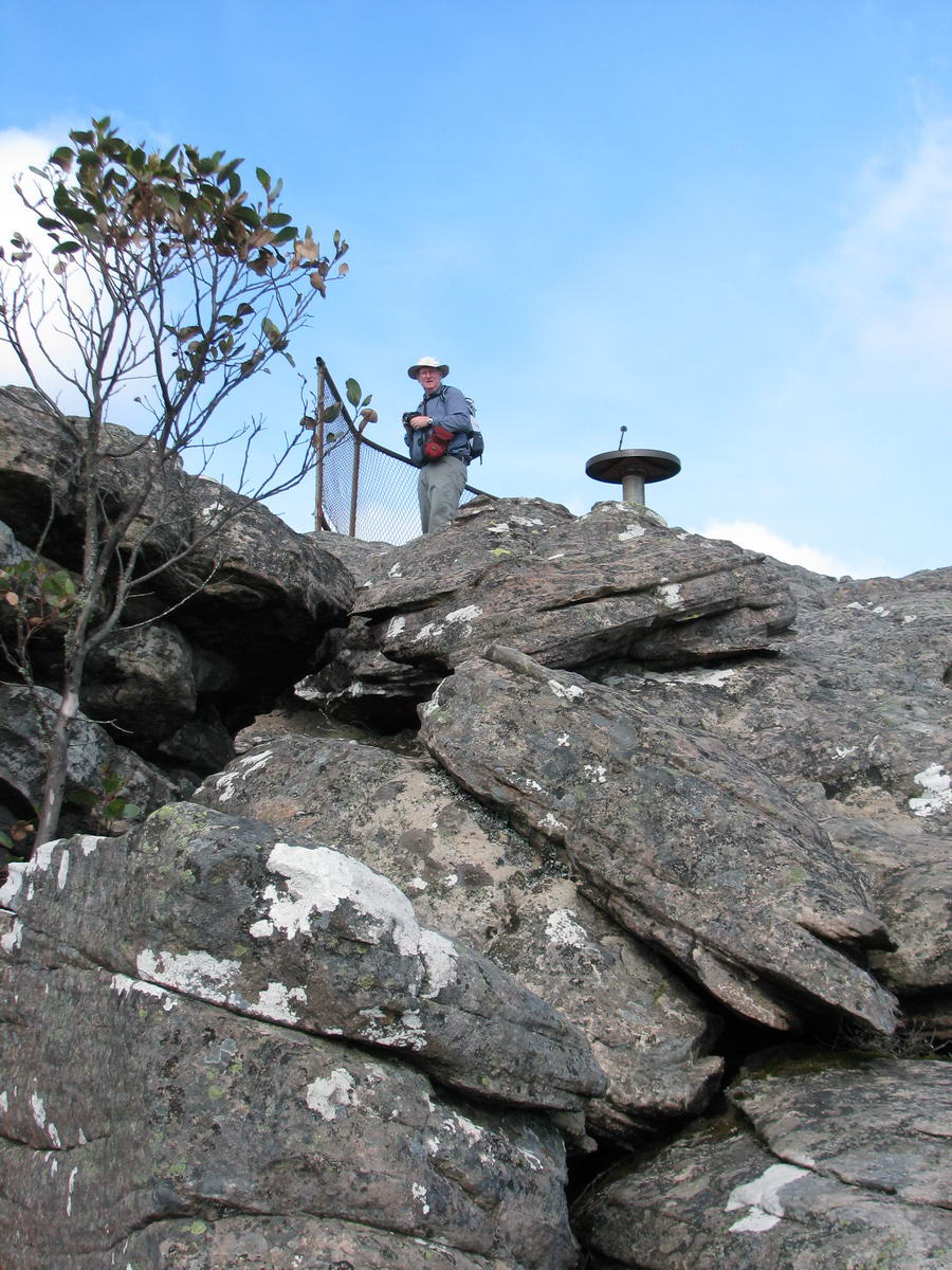 |
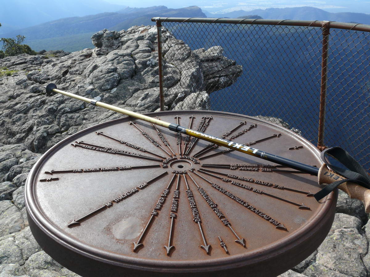
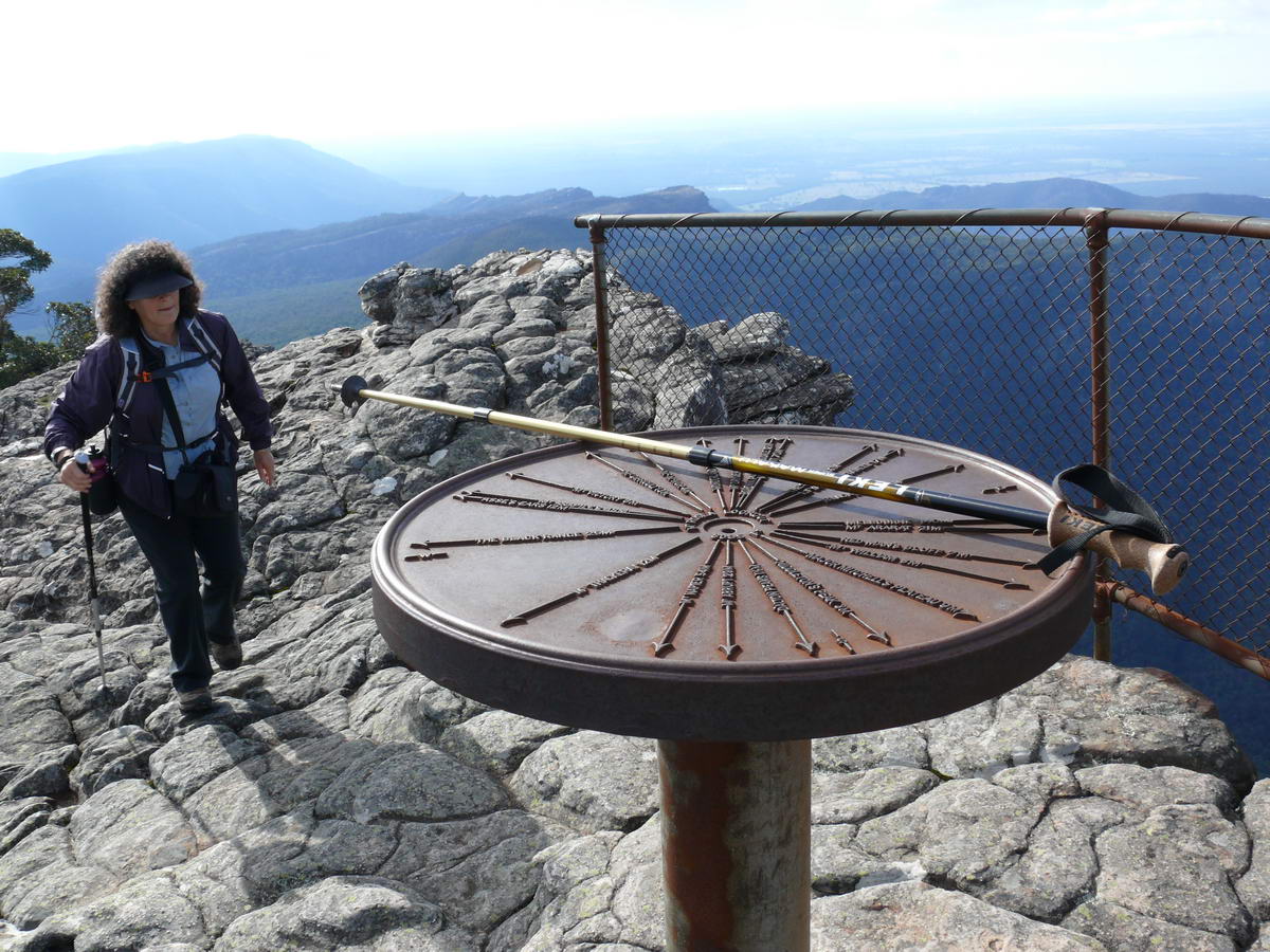
| The top. | |||
 |
 |
 |
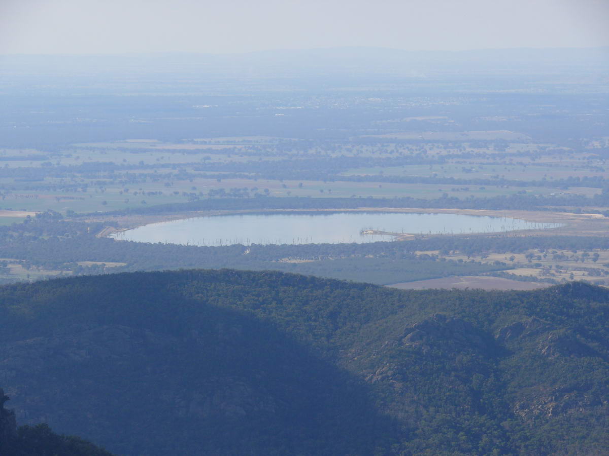 |
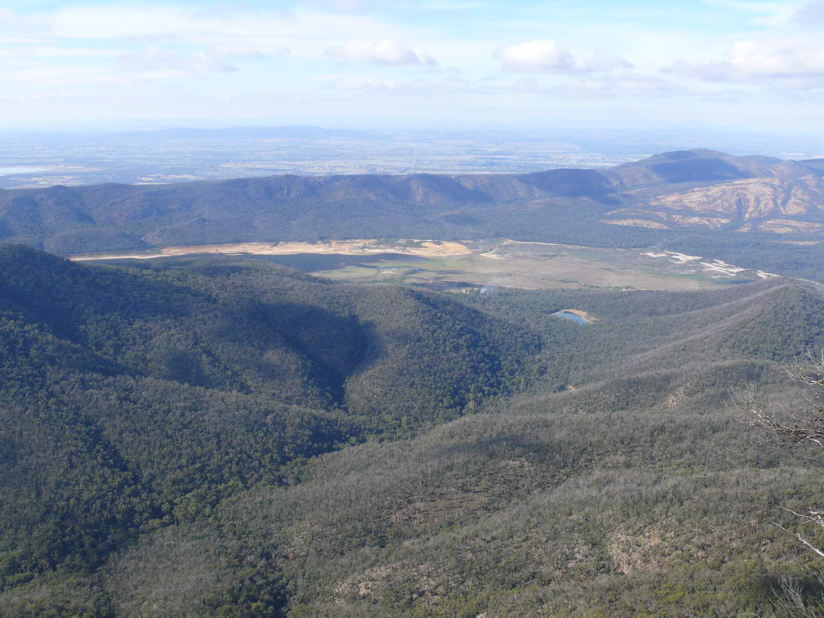
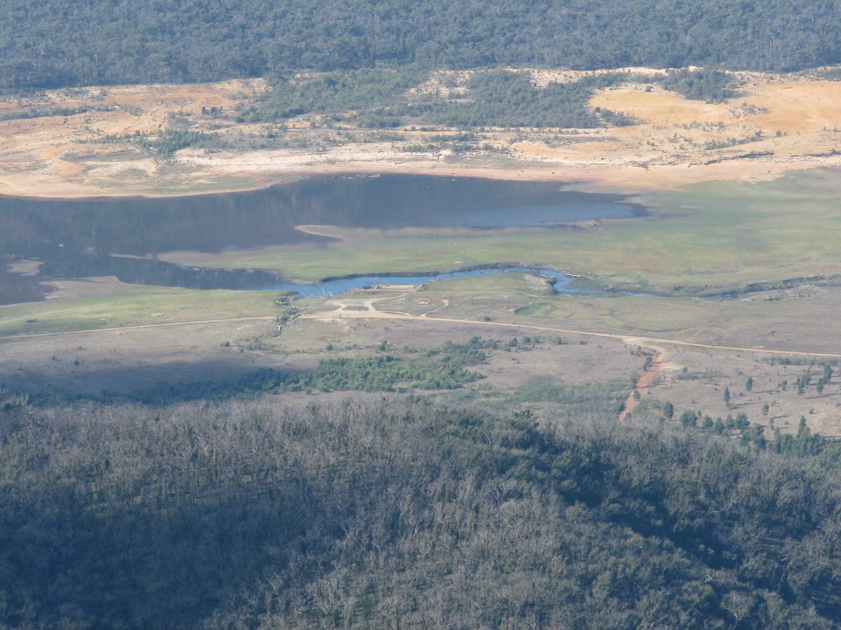
| We catch up together again. | Lake Bellfield was full some 10 years ago, now its almost empty. | Lake Fyans - still some water left in it! | |
|
|
|||
|
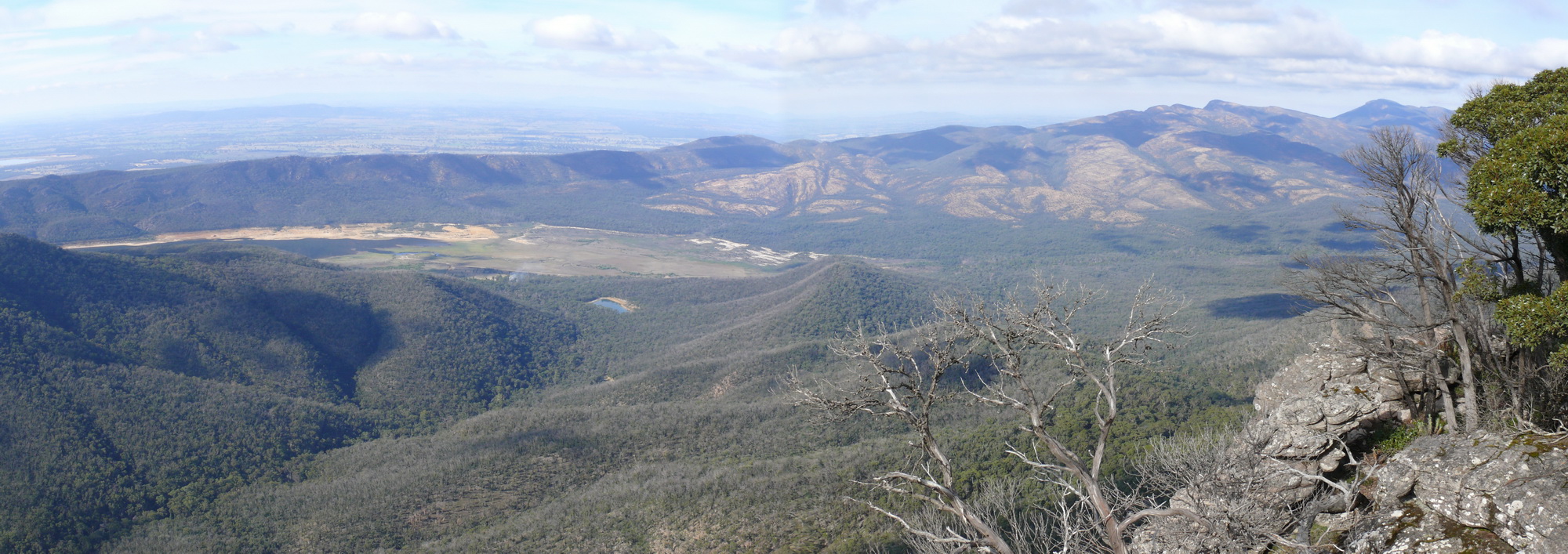
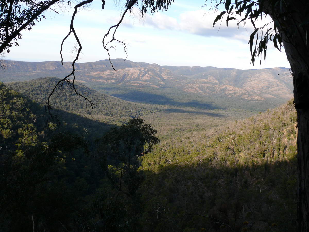
A photostitch of a couple of photos - a wide view from the top towards Lake Bellfield. |
Full size 2000 *707 583KB | ||
 |
 |
 |
 |
| Water is still trickling in to the dam. | |||
 |
 |
 |
 |
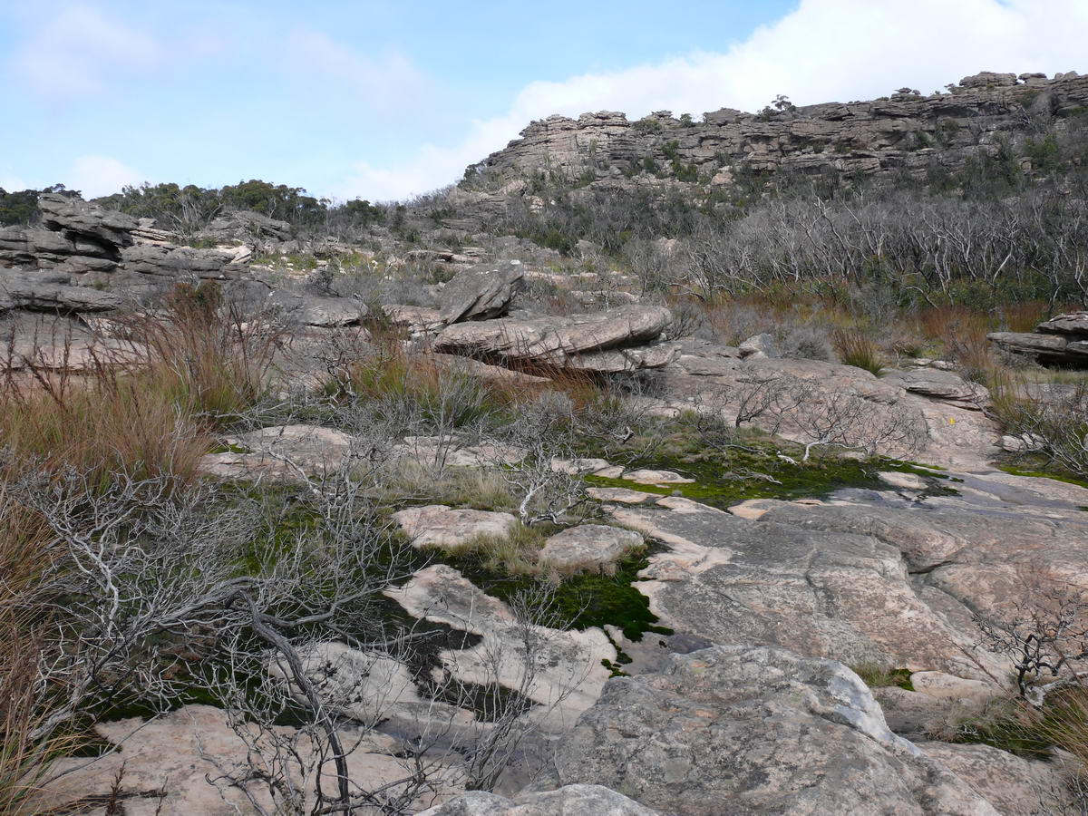
| We decided to do a round trip - this is the other way down. | Strong re-growth in the forest near the top. | ||
 |
 |
 |
 |
| Great views and some difficult (for us) terrain. | A fair amount of rock hopping as we go down. | ||
 |
 |
 |
 |
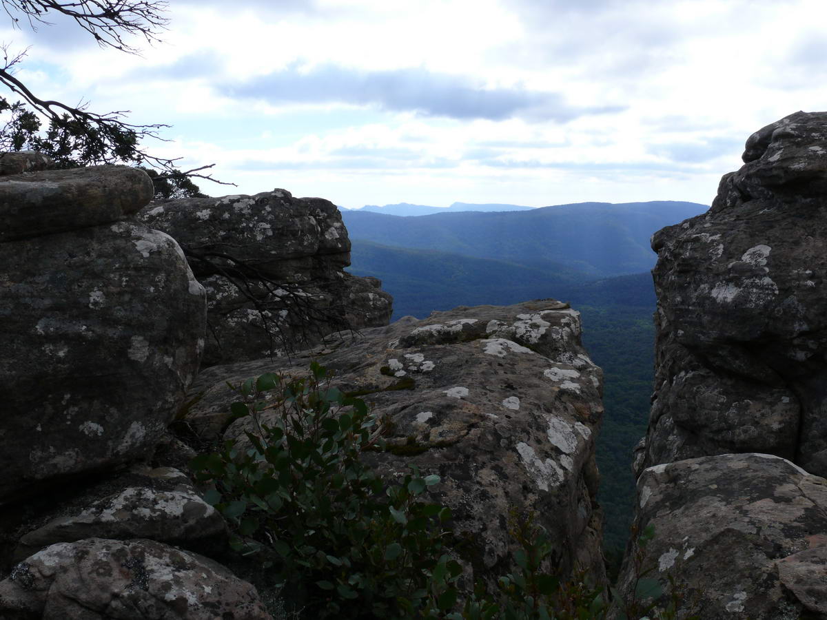
| A last view of the Tower Hill, now with a plume of smoke behind it. | I look back to the top. | ||
 |
 |
 |
 |
| More fungi. |
Steep - care needed on these rocks as we go down. |
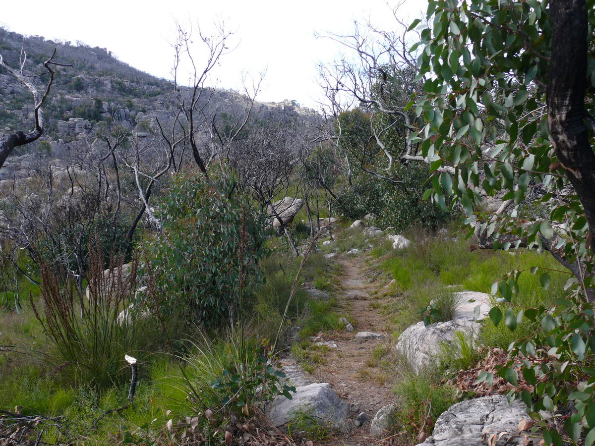
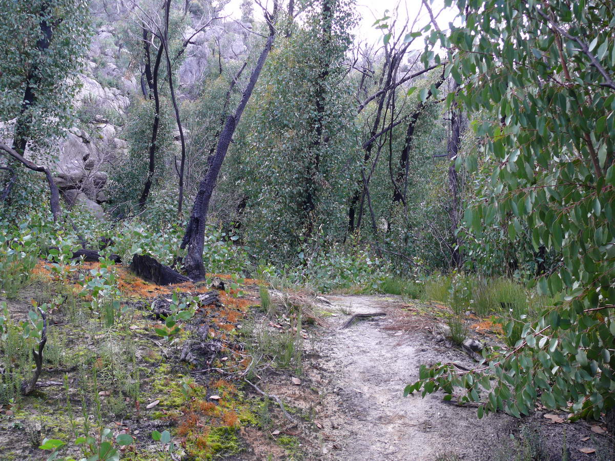
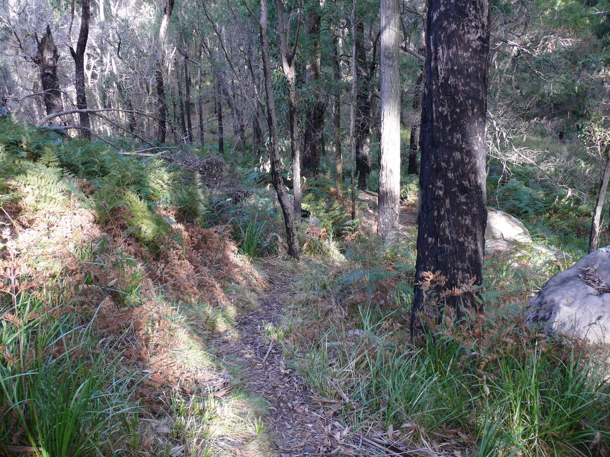
Back to forest, leaving the rocks behind. | |
 |
 |
 |
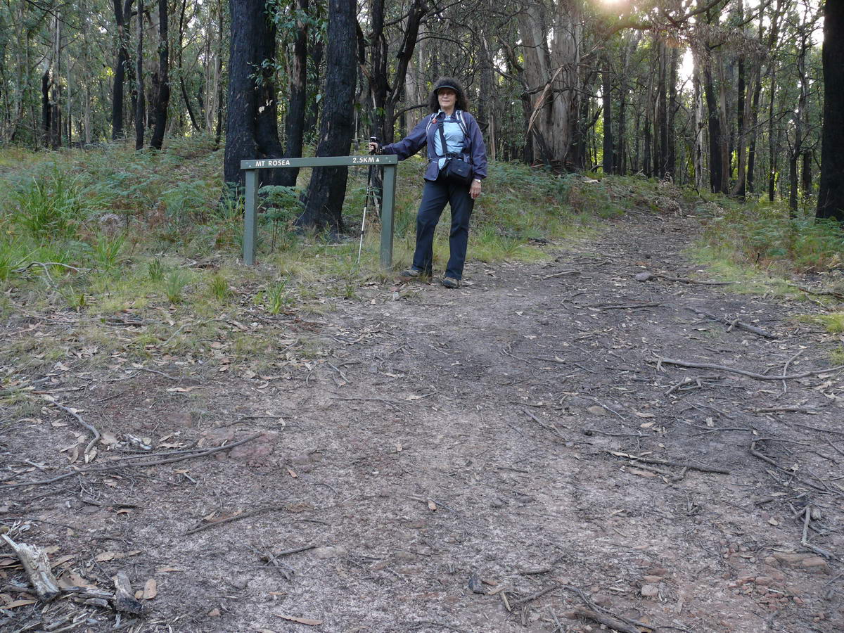 |
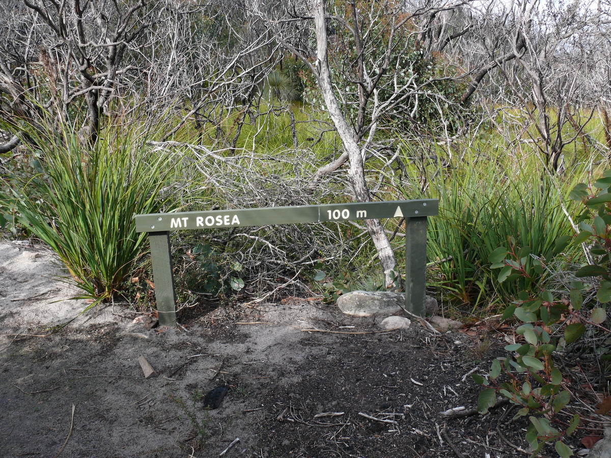
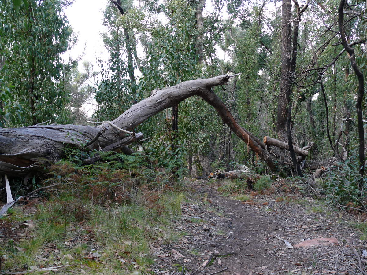
| Gentle slopes for a while | Fallen tree makes and arch for us. | When our kids were much younger we sat for a rest here not any more. | 2.5 KM to the top. |
 |
 |
 |
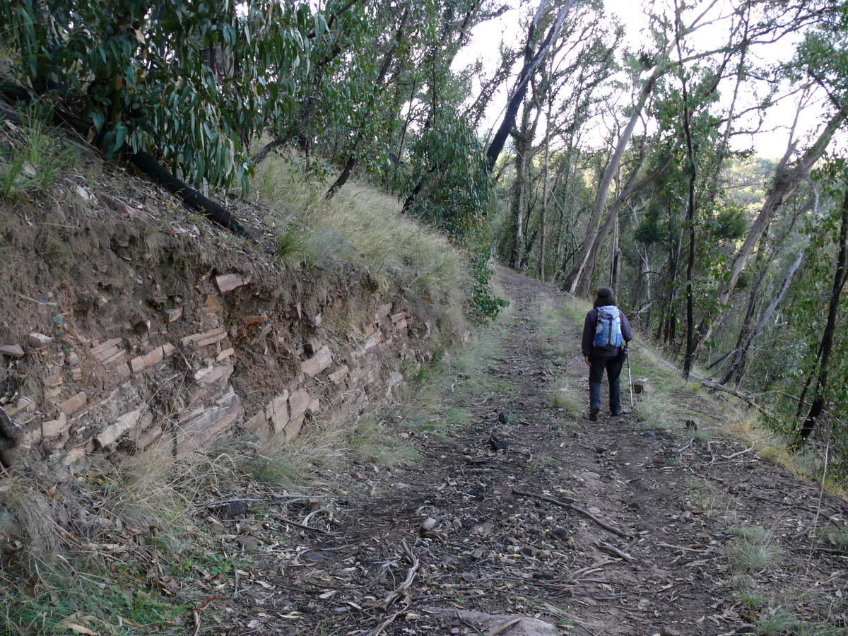 |
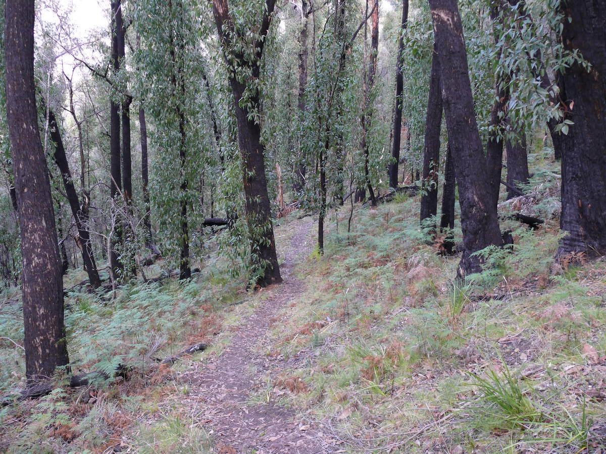
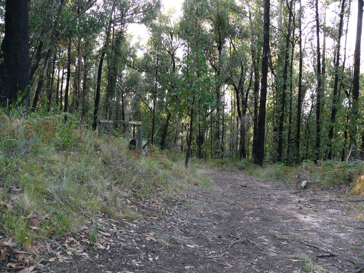
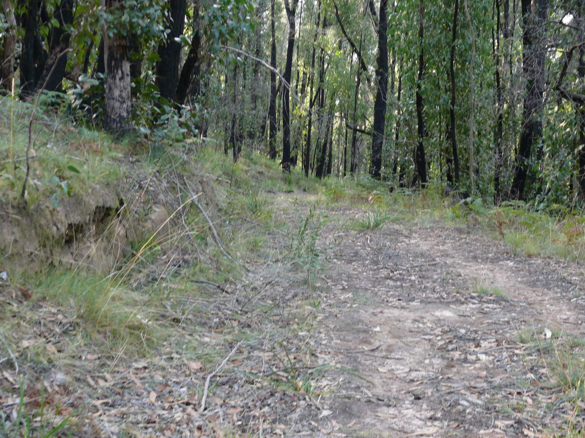
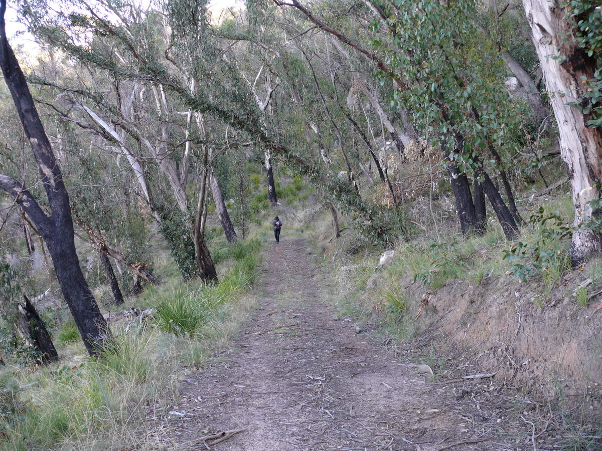
| We take our road to the left (Burma Track). | This section should be much easier - but it's a bit stony and you need to take care, | Views sneak in between the trees. | The road seems to have been graded, note the layers of rock in the embankment. |
 |
 |
 |
 |
| We had expected to see an old hut along this section, but, alas the fire has taken it away. | Daisy. | We looked up and were amazed that we saw the top - before the fires there would have been no way to see the top this easily. | Amazingly there is someone up there - its now 4 pm - a bit late to be there if you want to walk out in the light. |
 |
 |
 |
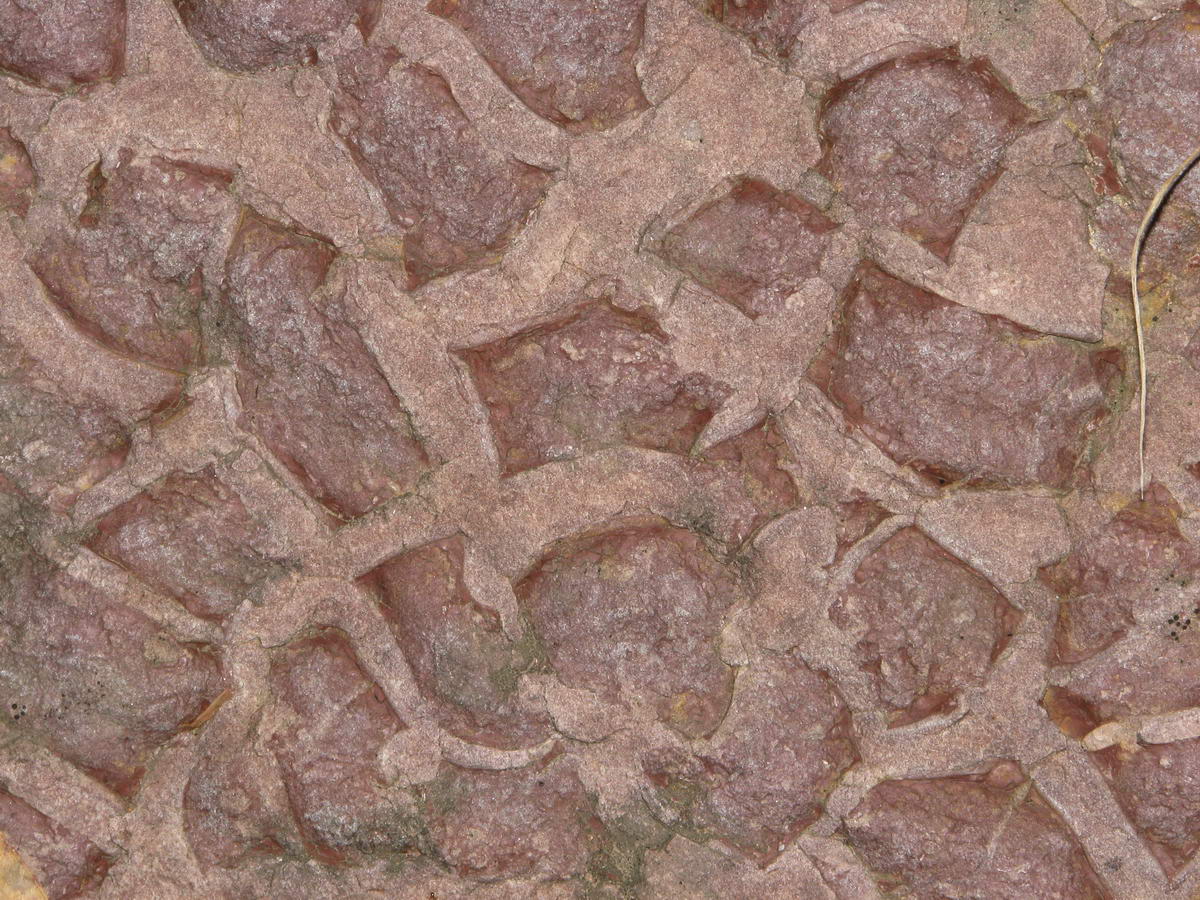 |
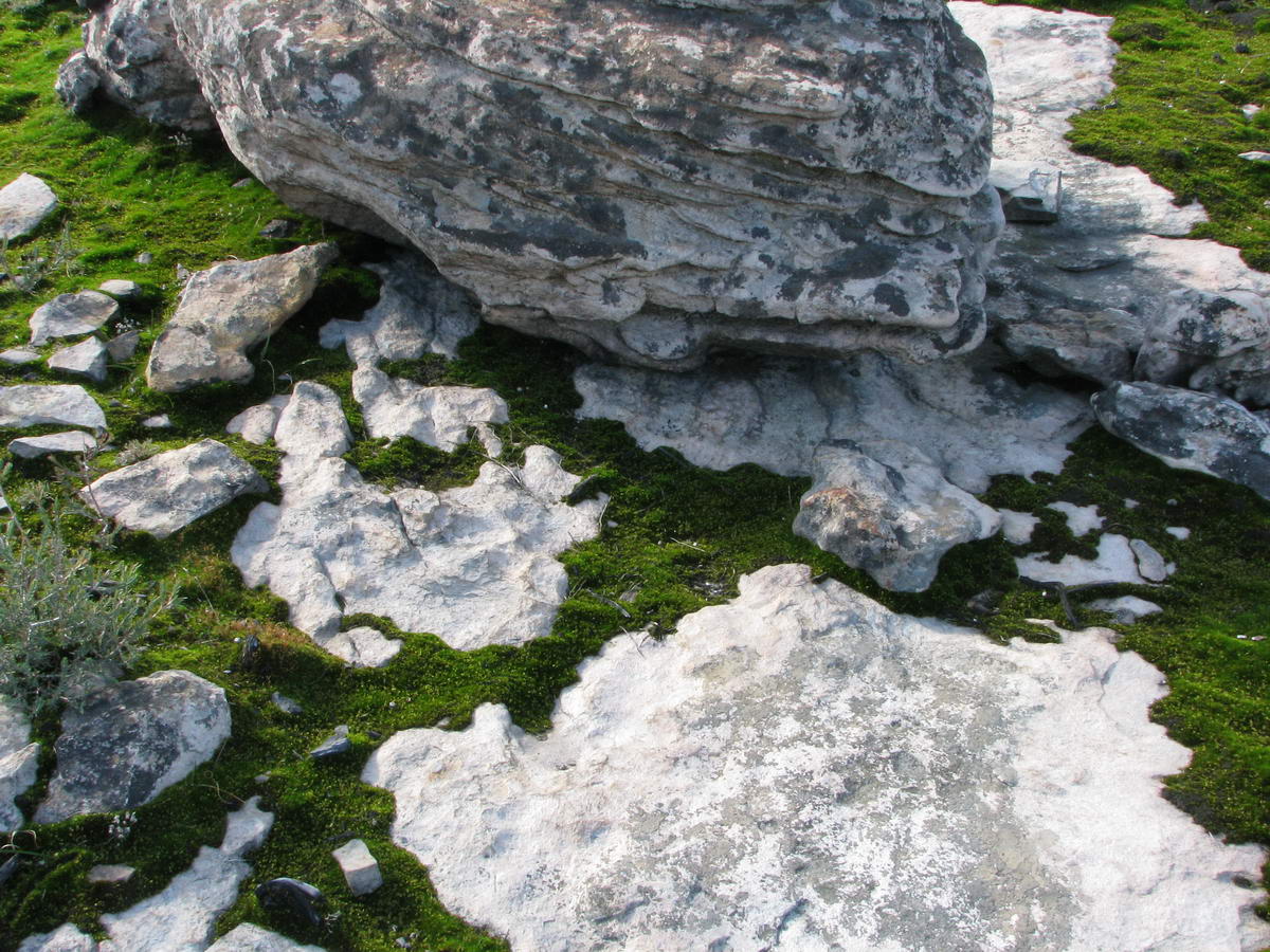
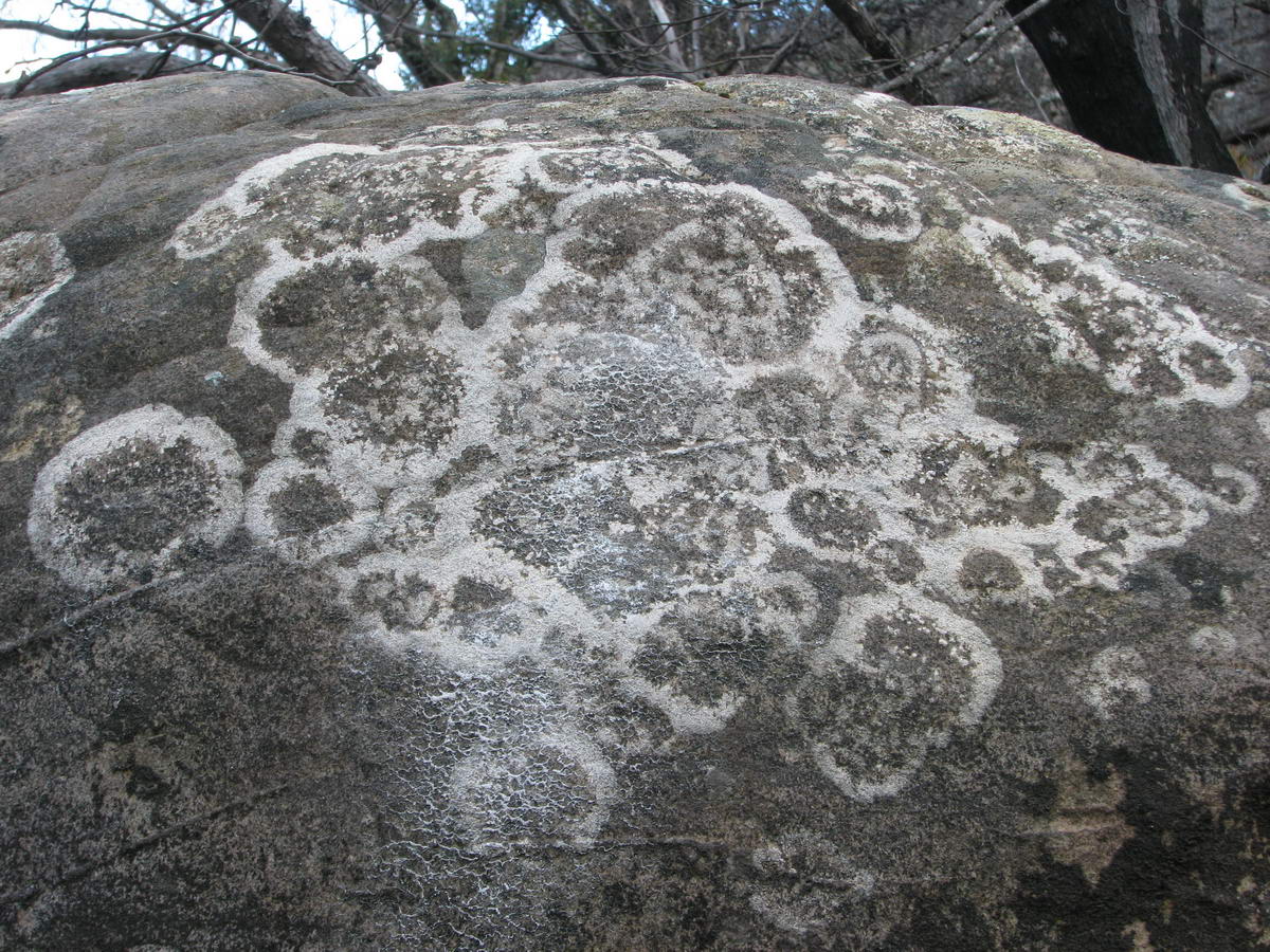
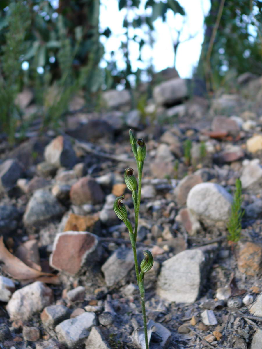
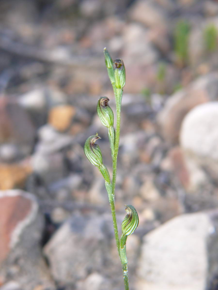
| We hoped to see these small orchids and we did right near the end. | We had to take a photo of this amazing rock - a really weird pattern. | ||
 |
 |
 |
We took about 5 hours for the 11 to 12 km
round trip for this medium/hard walk - slow, but we did take lots of photo
stops. I made it - there was never a doubt that my other half would
always make it. It was a great day and a great walk. If you have the time it's a must do. |
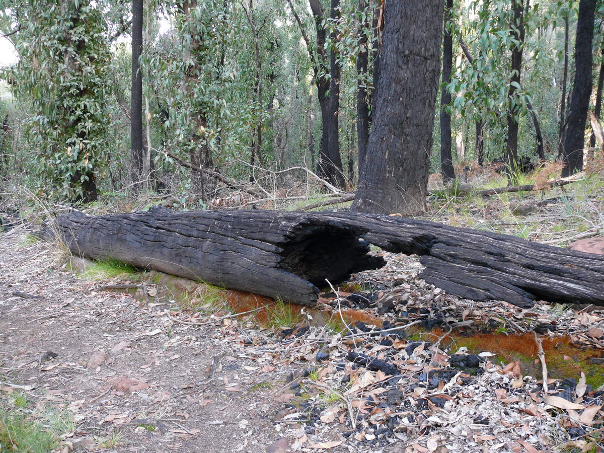
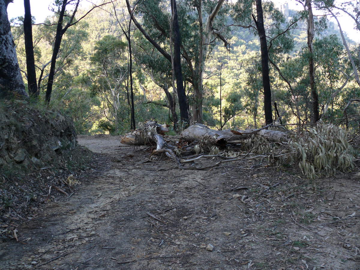
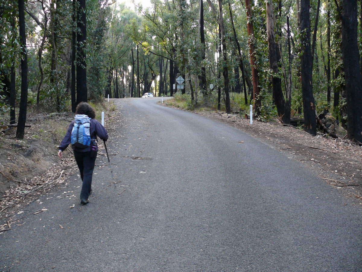
| A fallen tree. A widow maker. This can happen so easily after fire. | Back to the main road. | A race to the car and hot drinks. | |