|
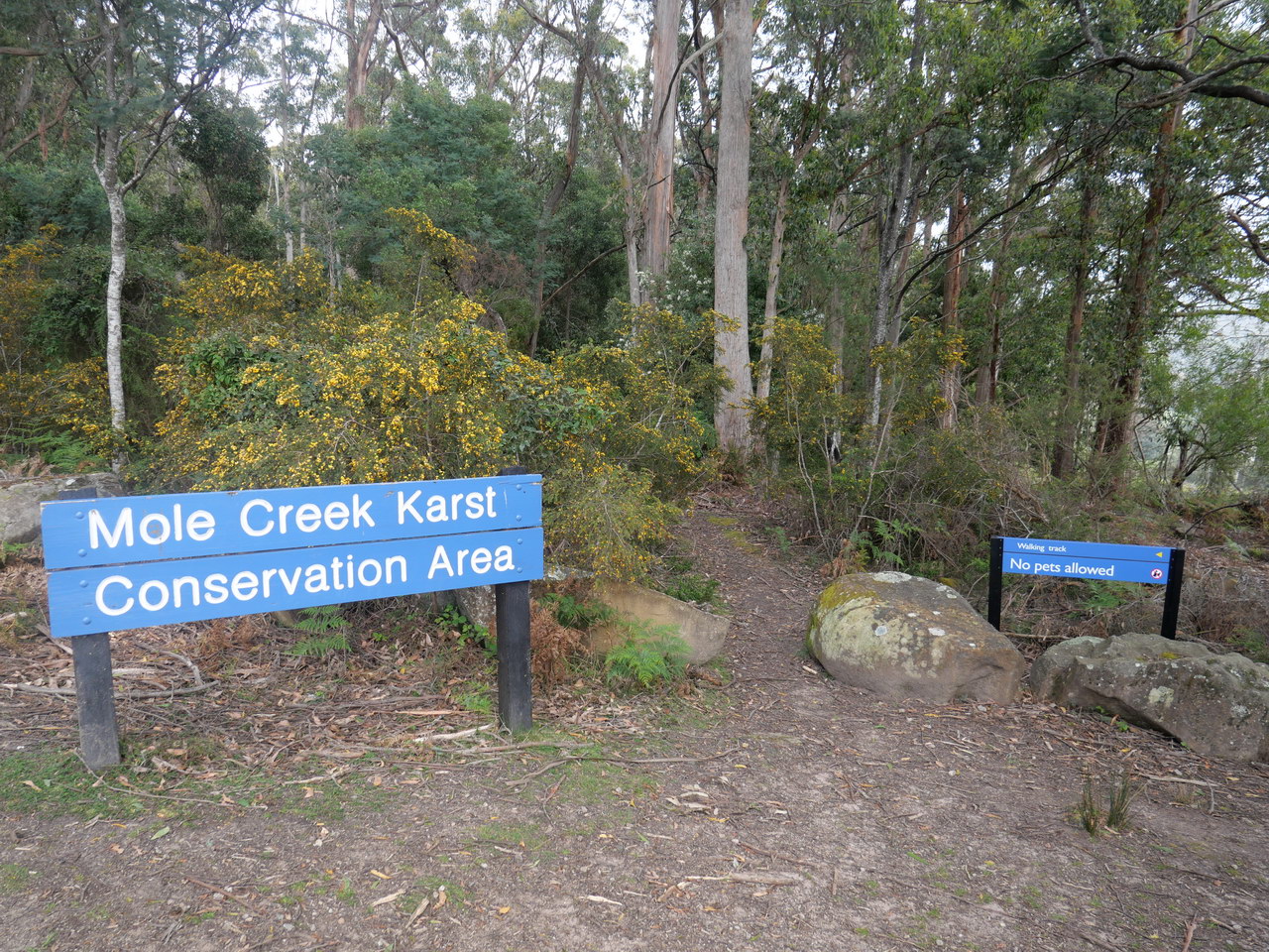
Westmorland Falls |
| We were camping in the
area and asked a local if these falls were worthwhile. She thought they
were and that we should see them. So when we packed up the
caravan, we left it at the camp ground as we suspected the track in and car park for the falls would
not be suitable for a caravan. We were so right!
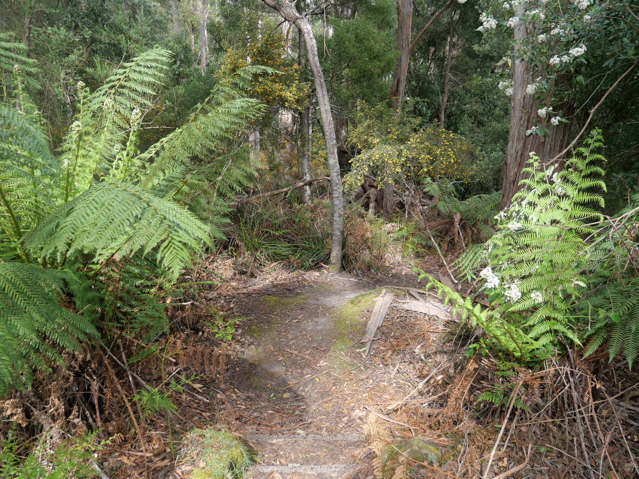
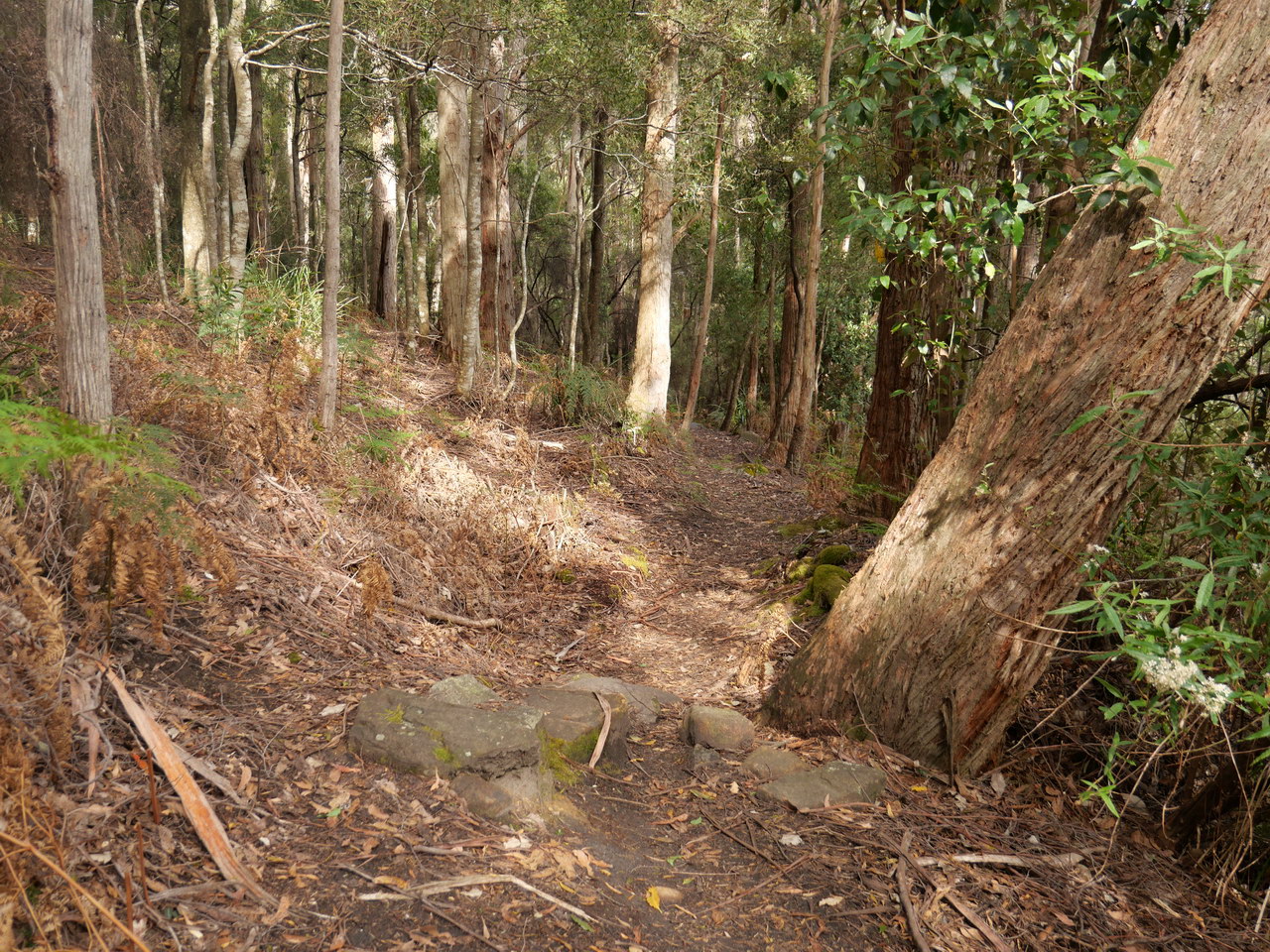
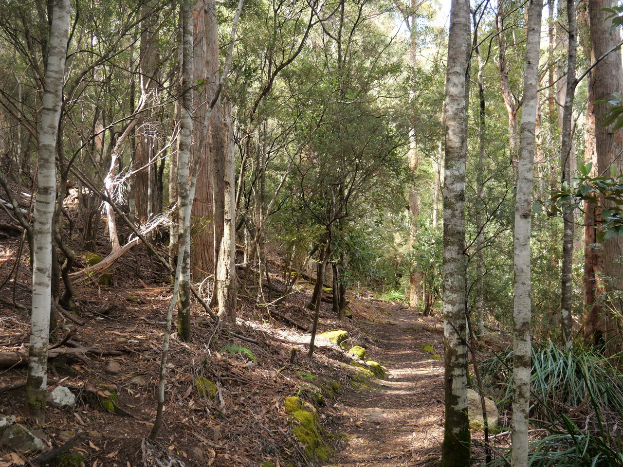
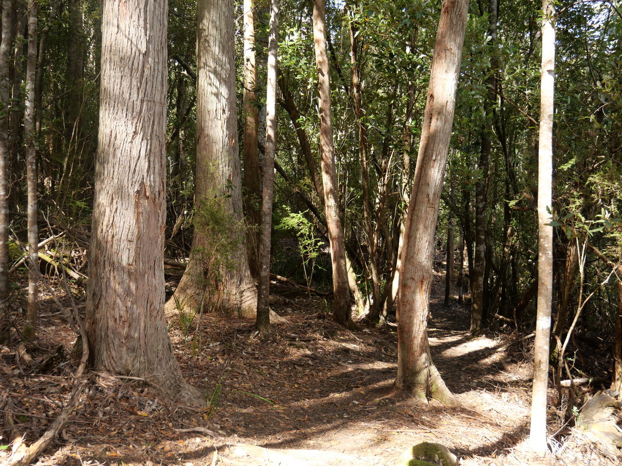
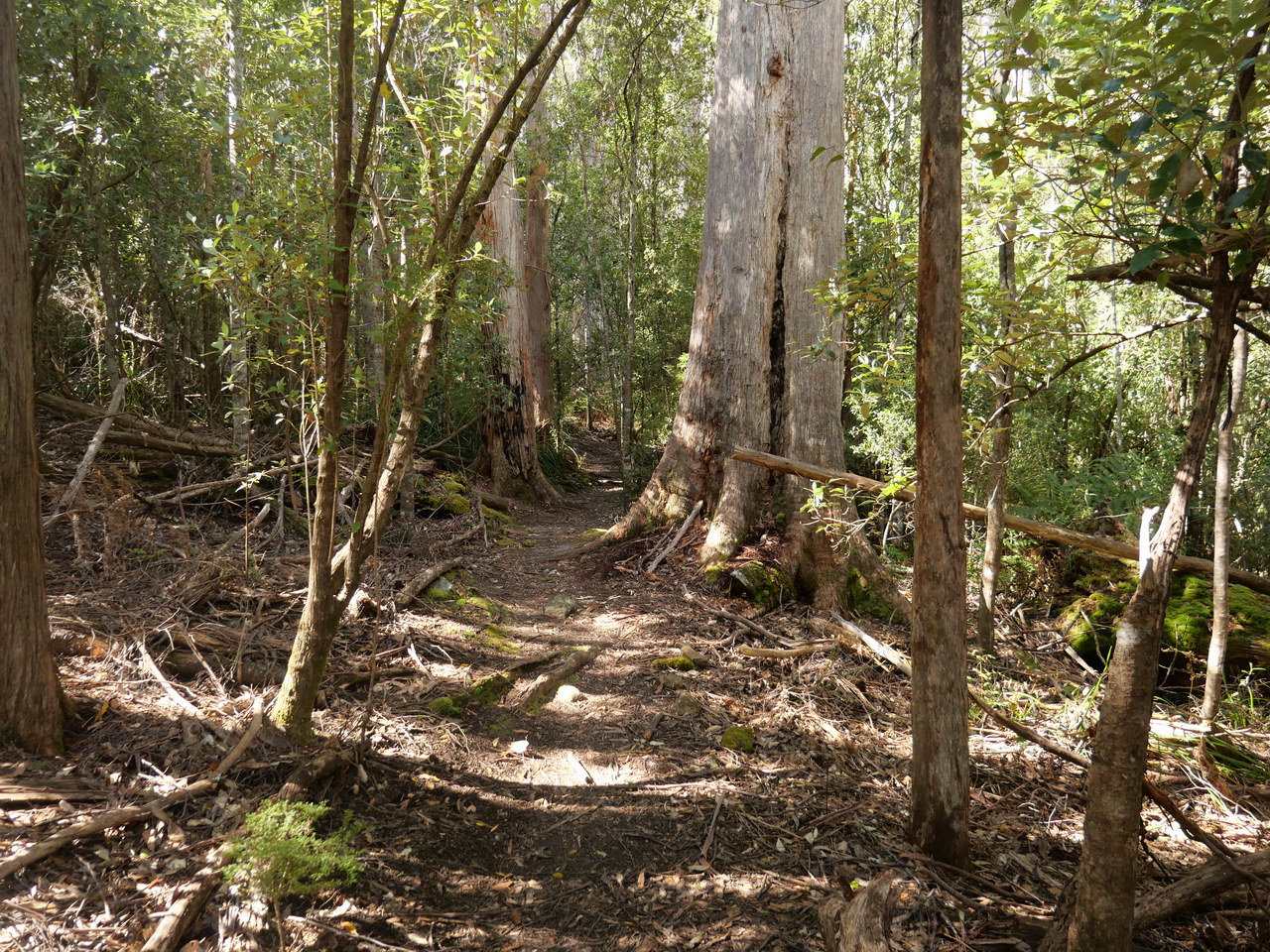
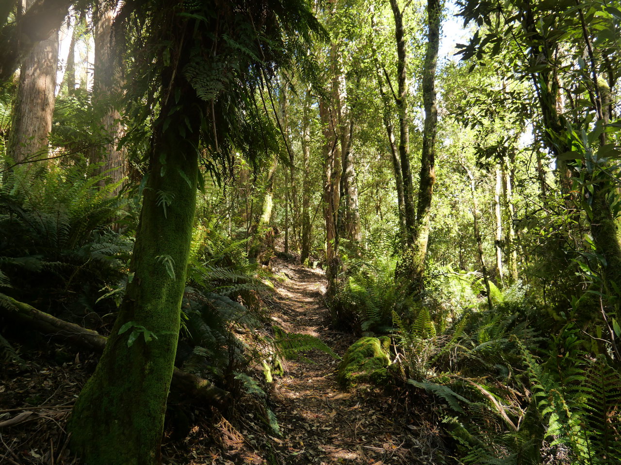
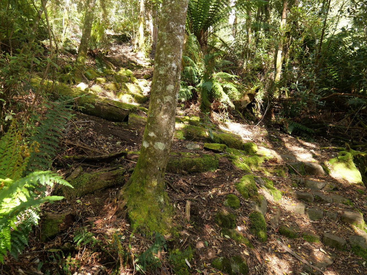
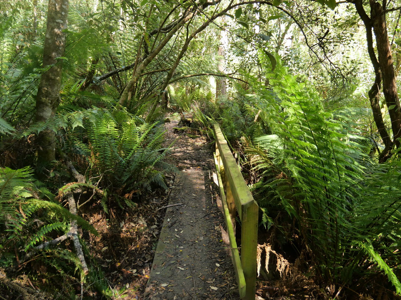
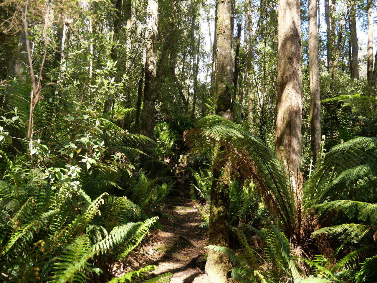
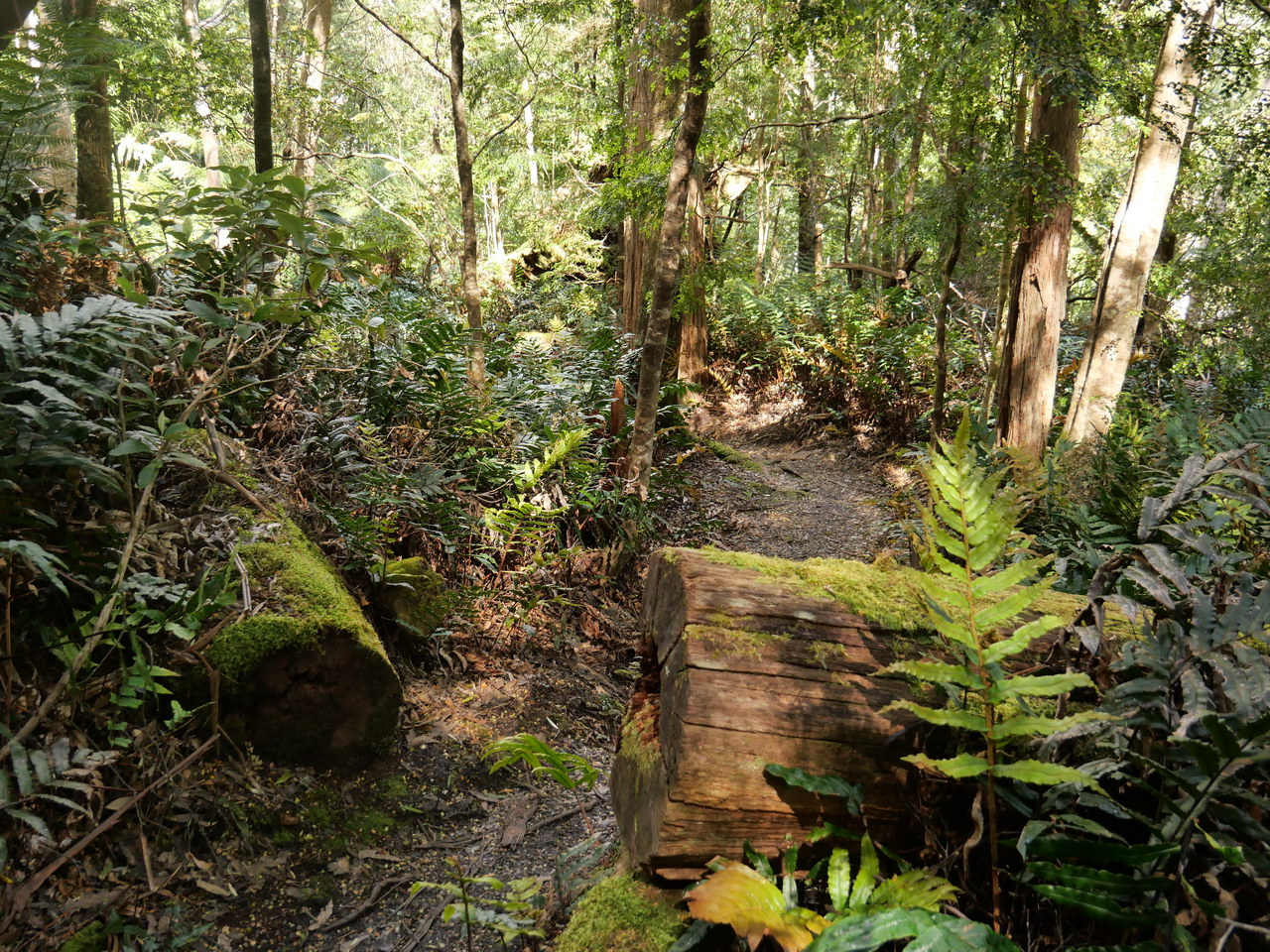
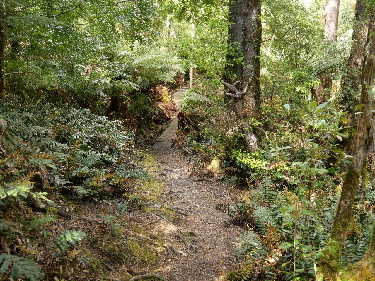
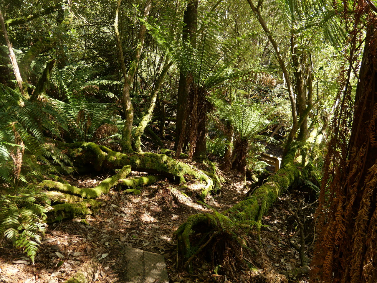
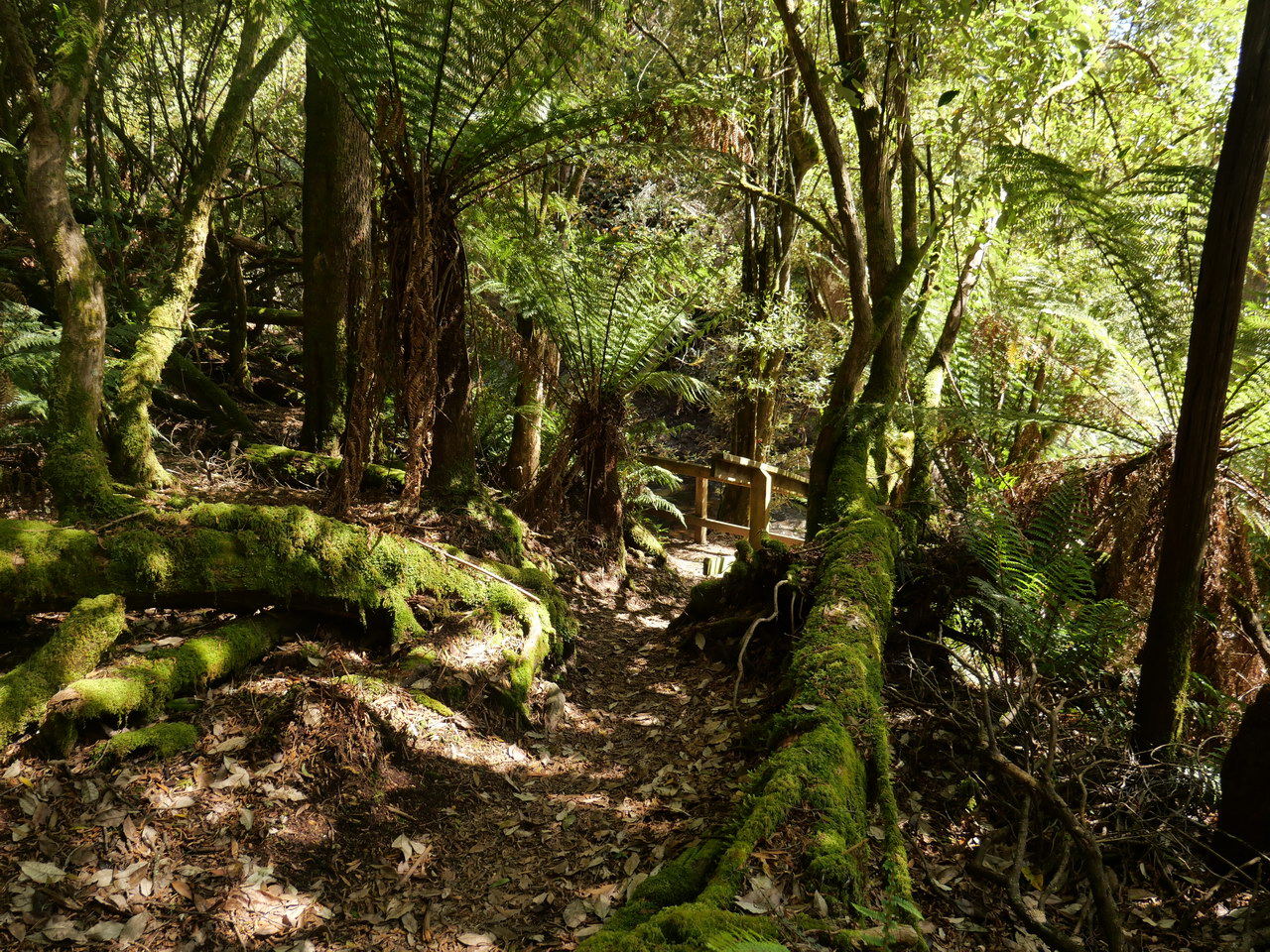
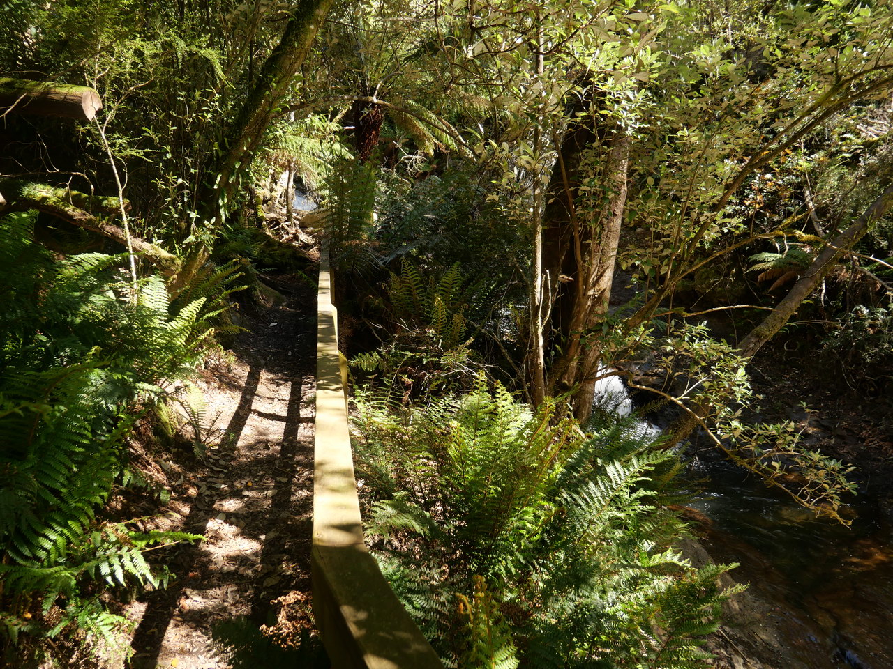
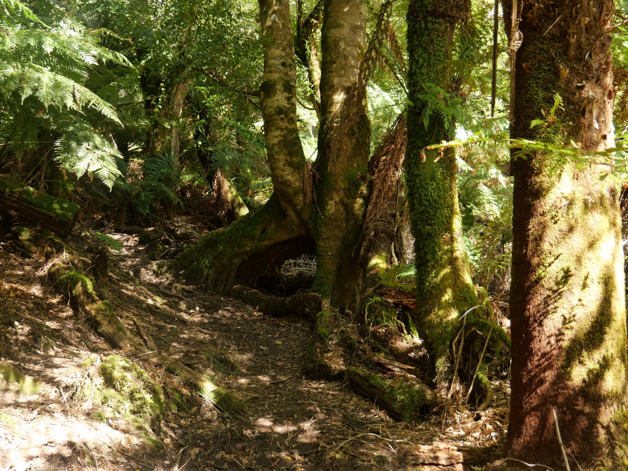
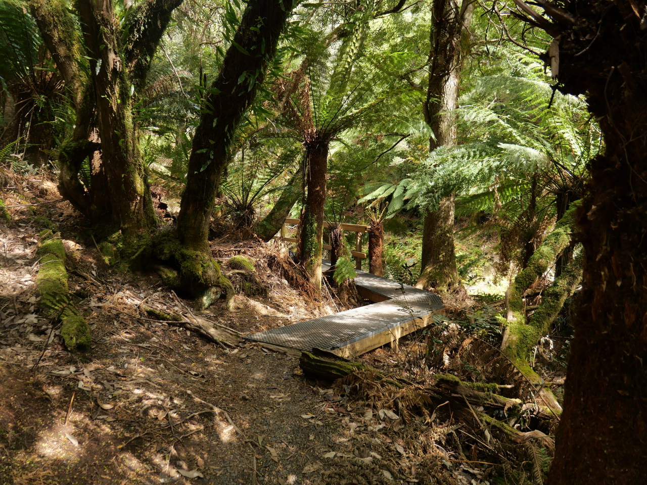
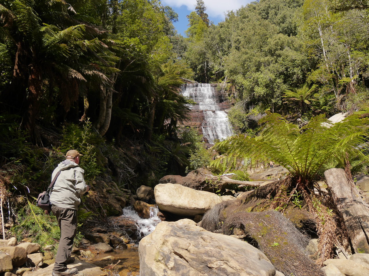
Interestingly the local also chose to undertake the walk that morning. The walk was easy to follow and went slowly downhill most of
the way with a short steeper uphill section at the end to the actual falls.
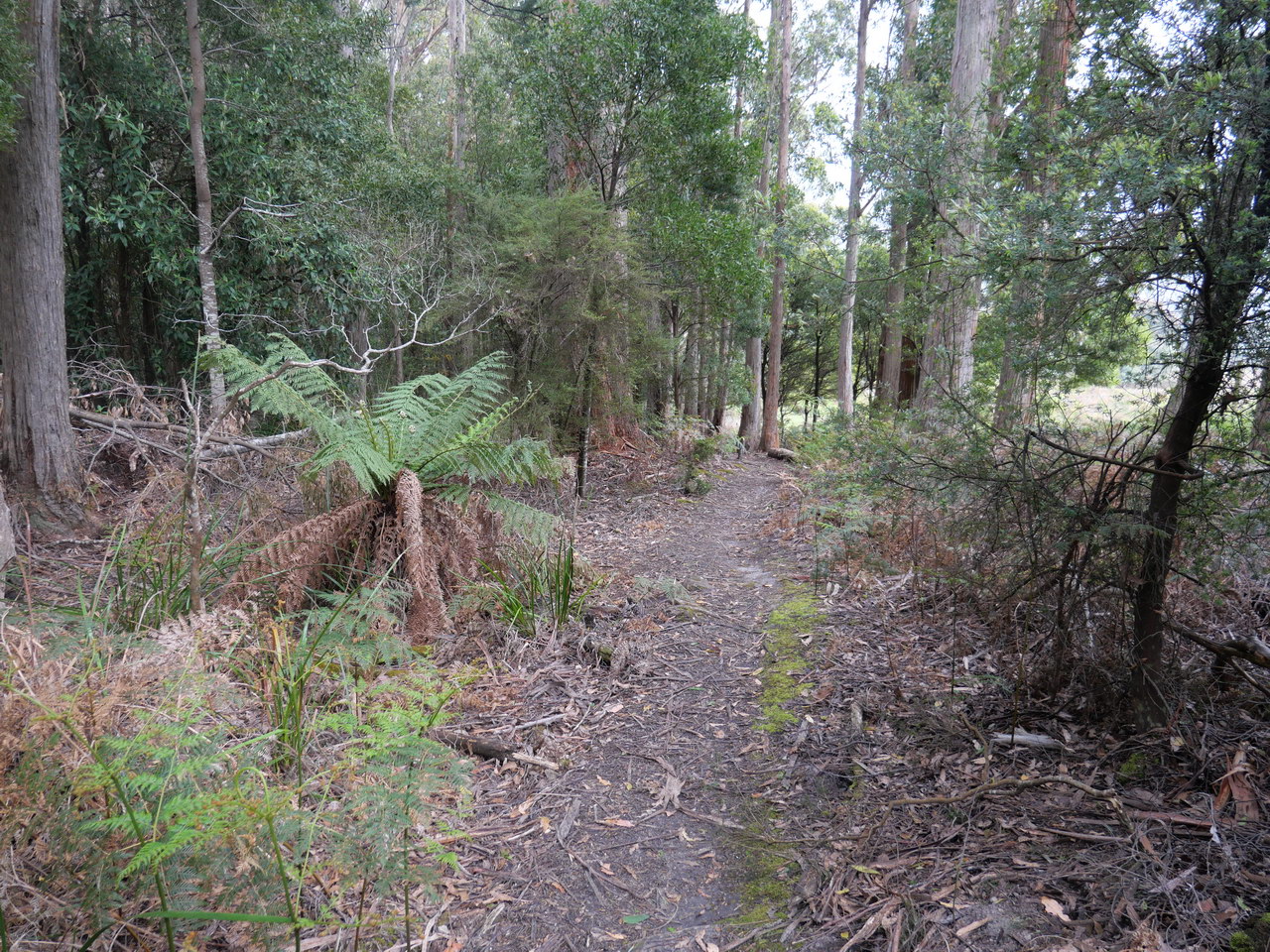
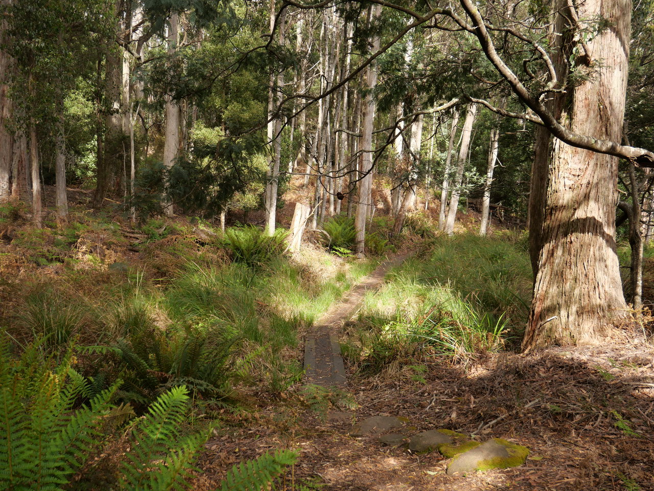
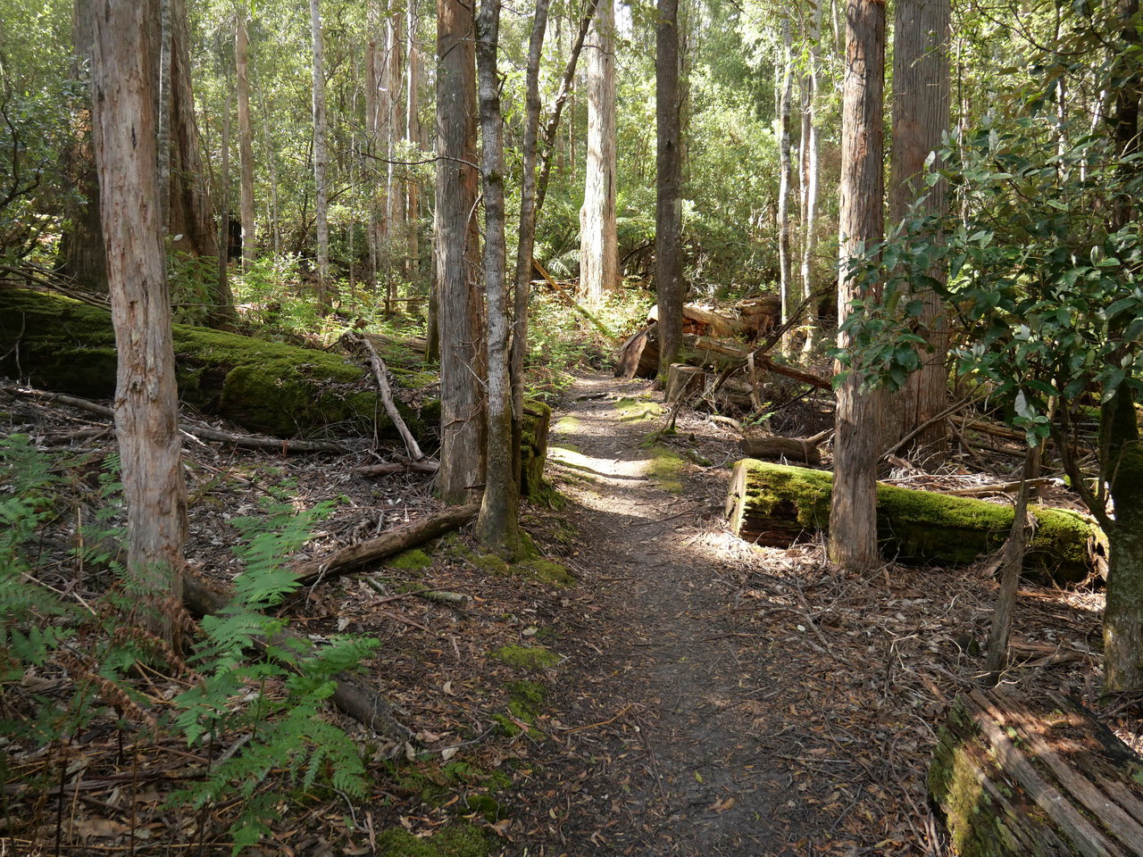
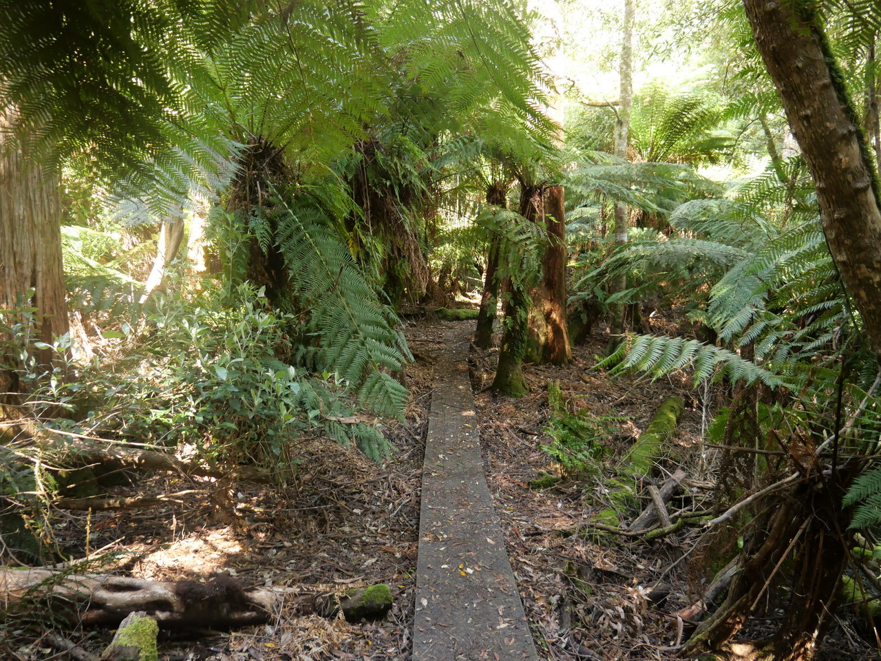
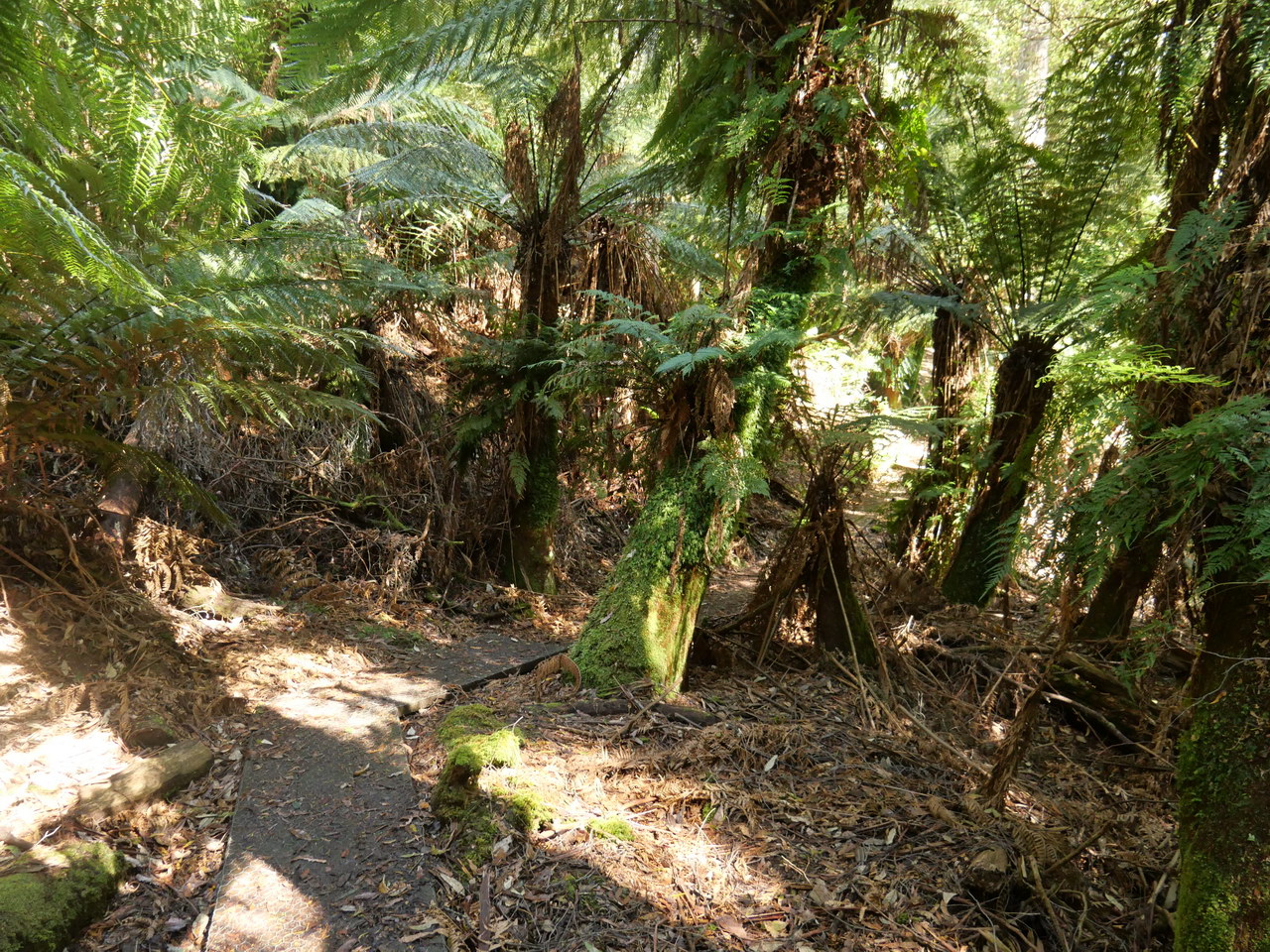
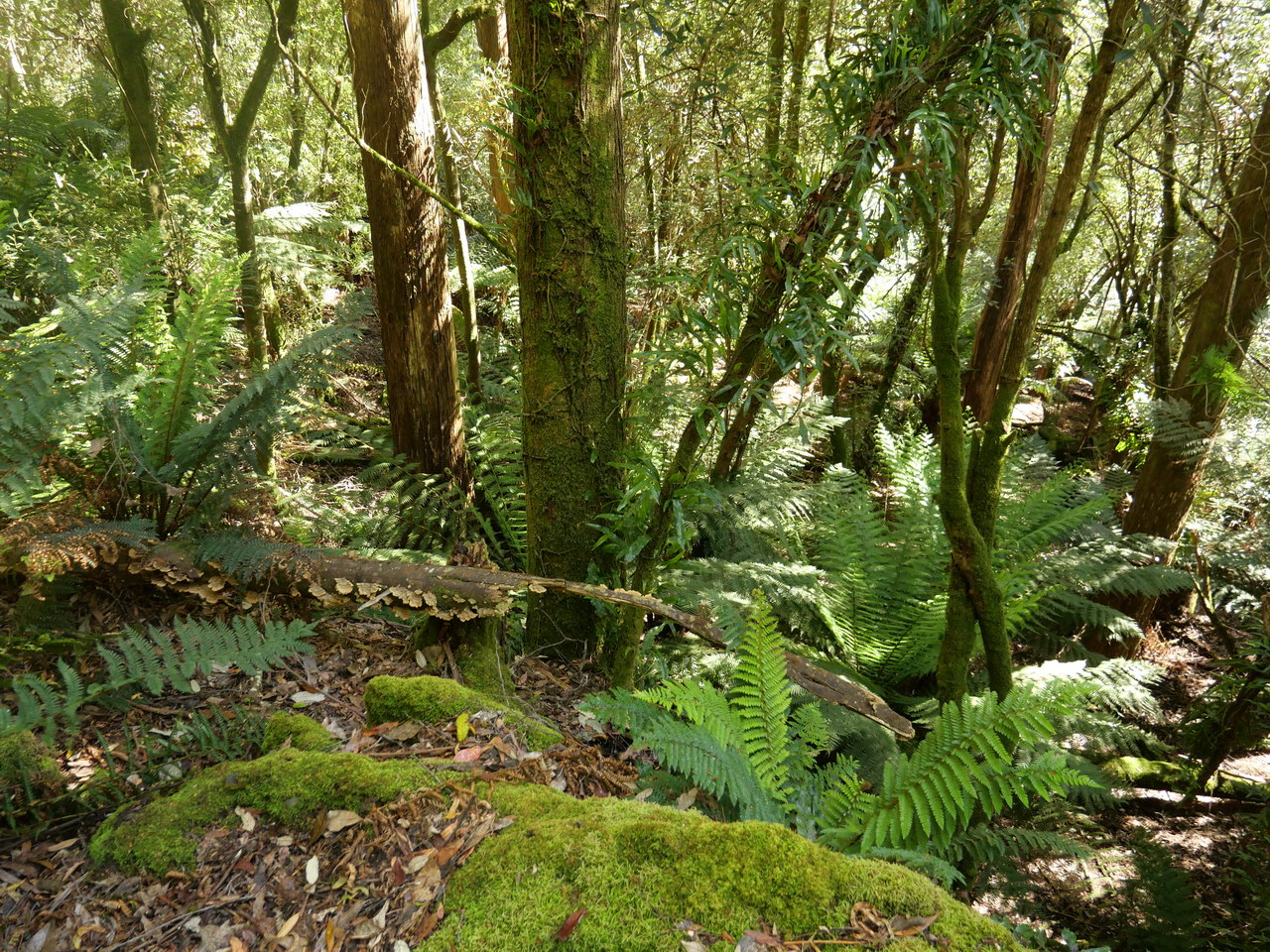
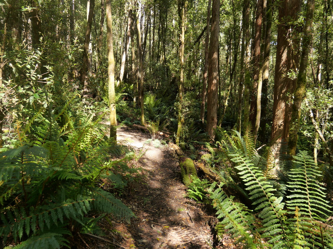
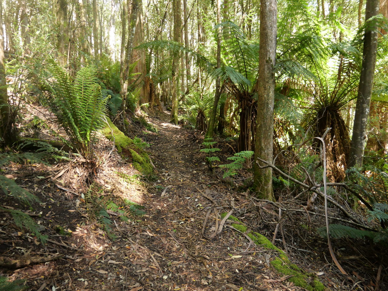
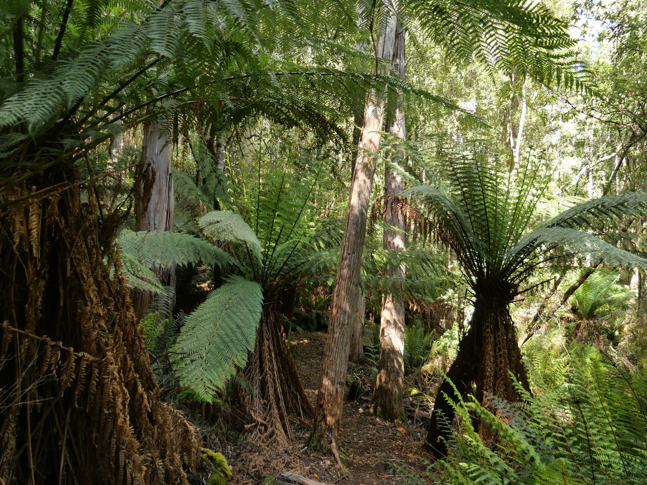
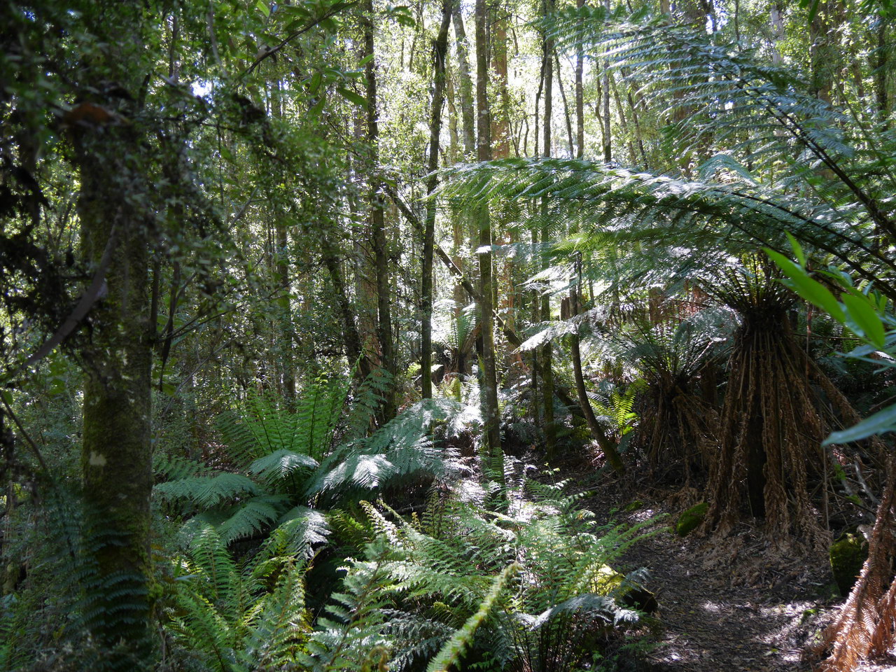
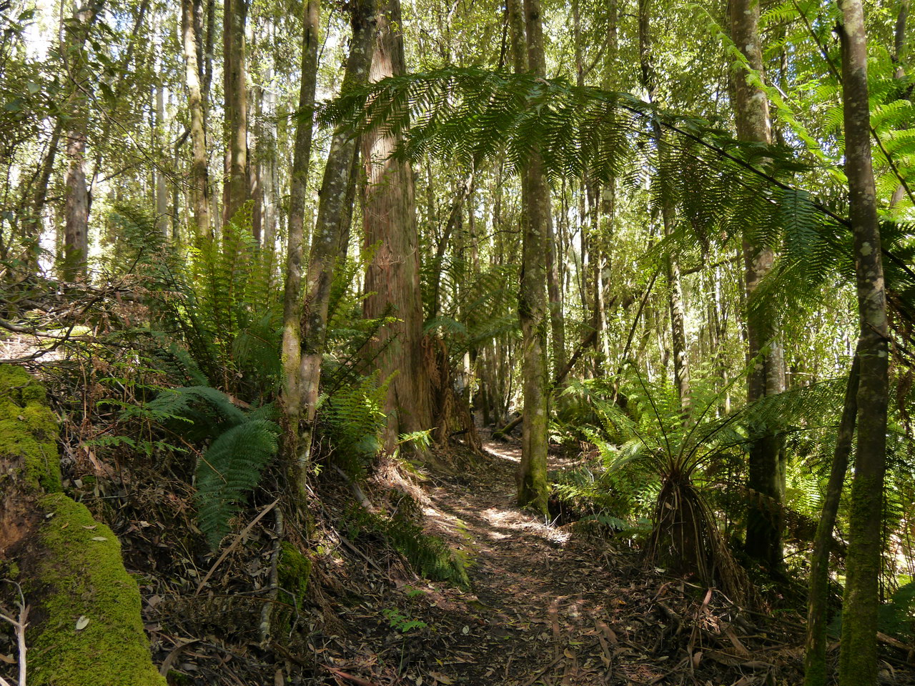
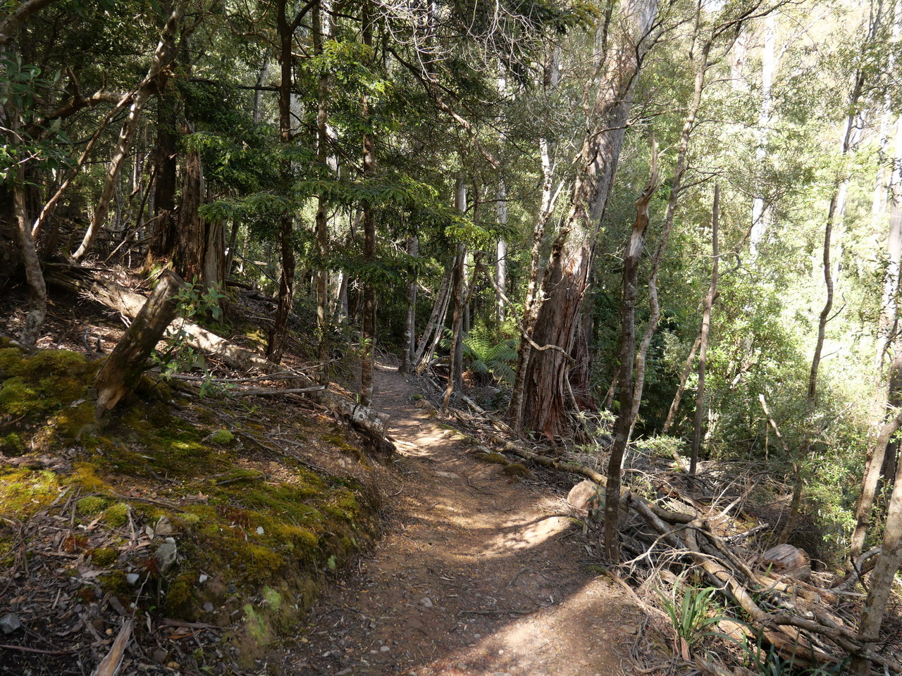
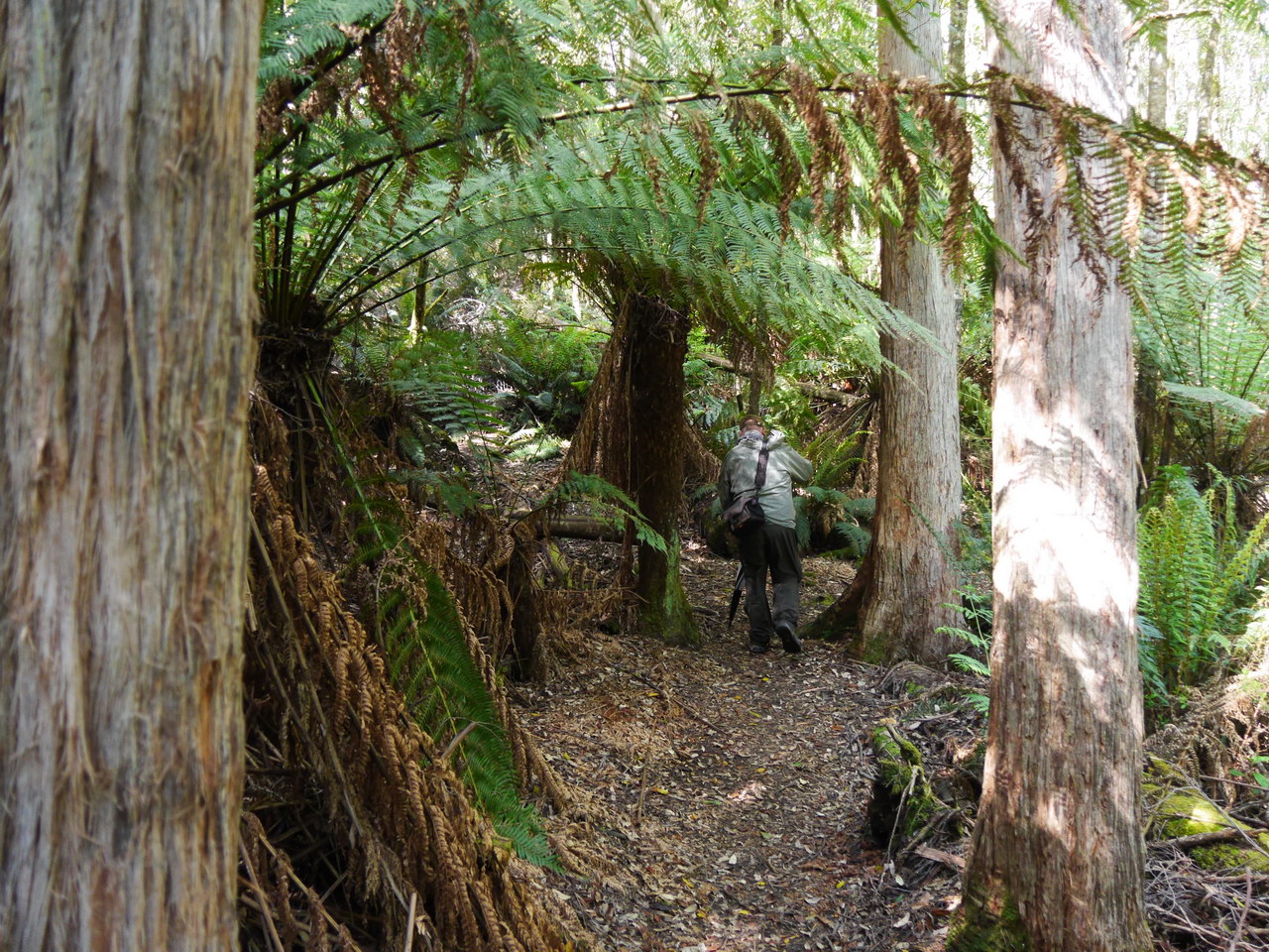
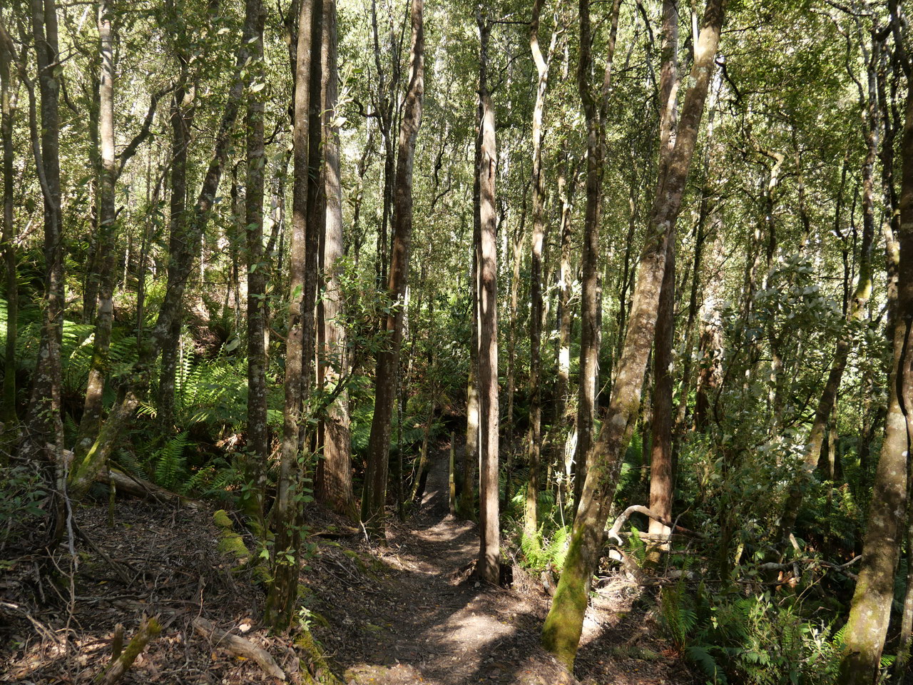
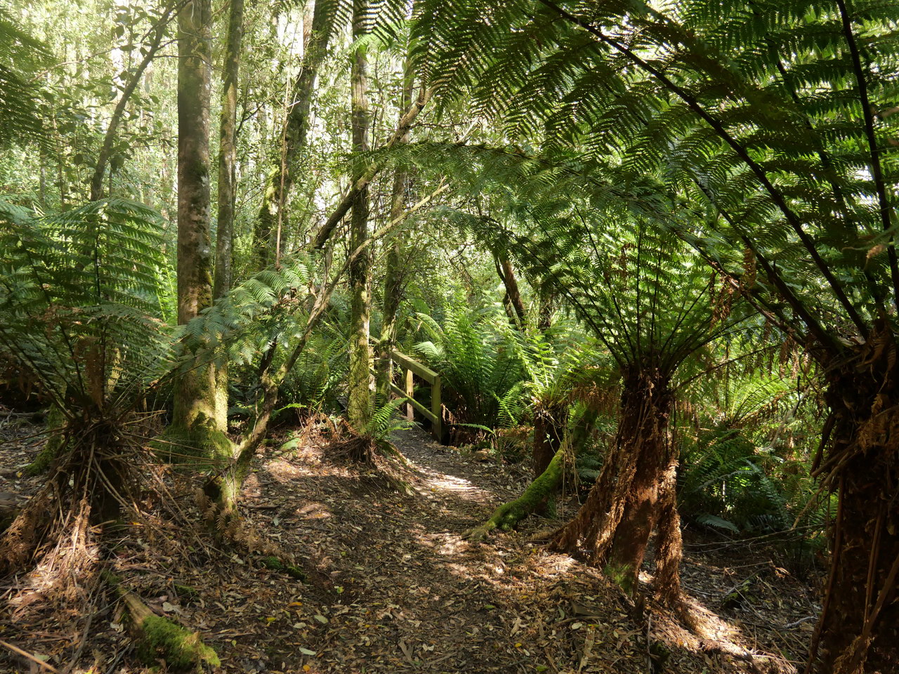
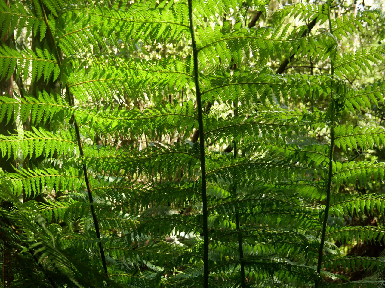
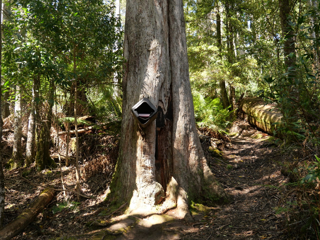
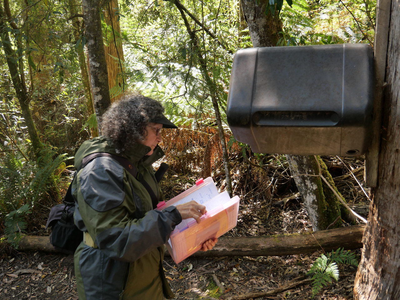
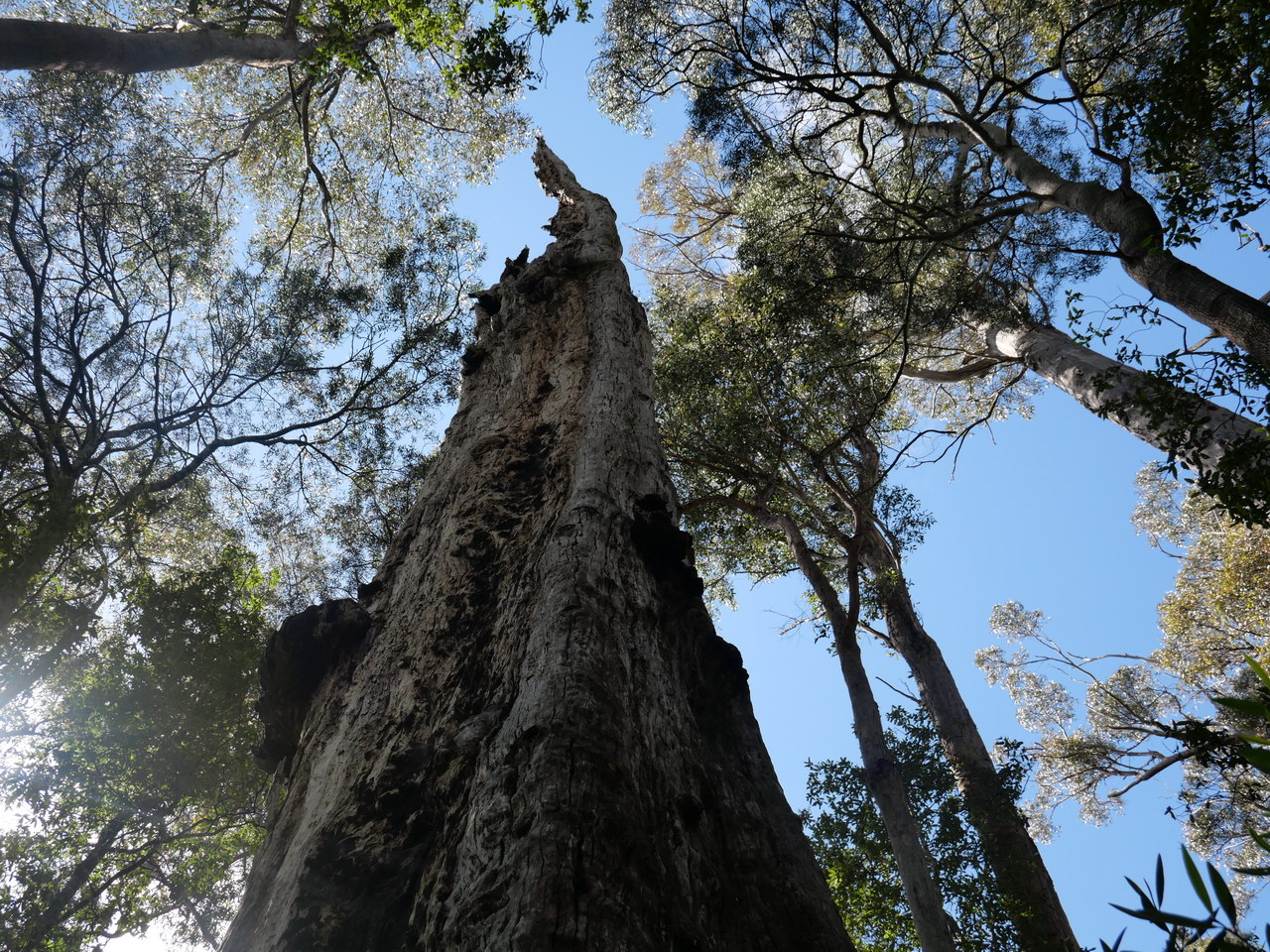
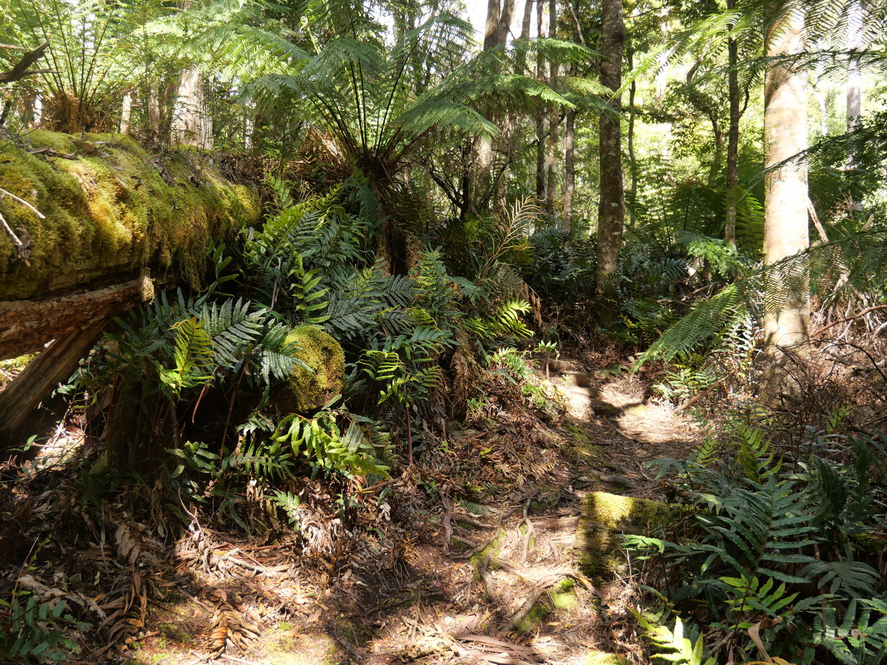
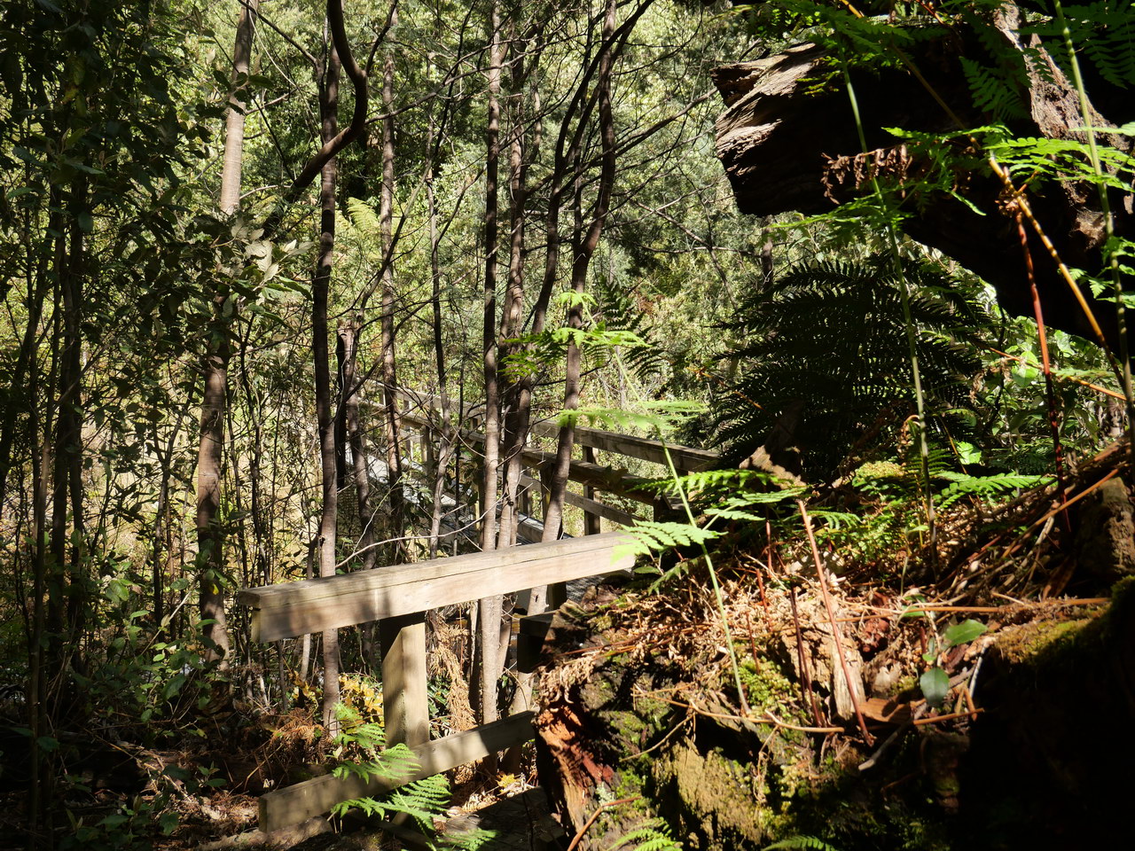
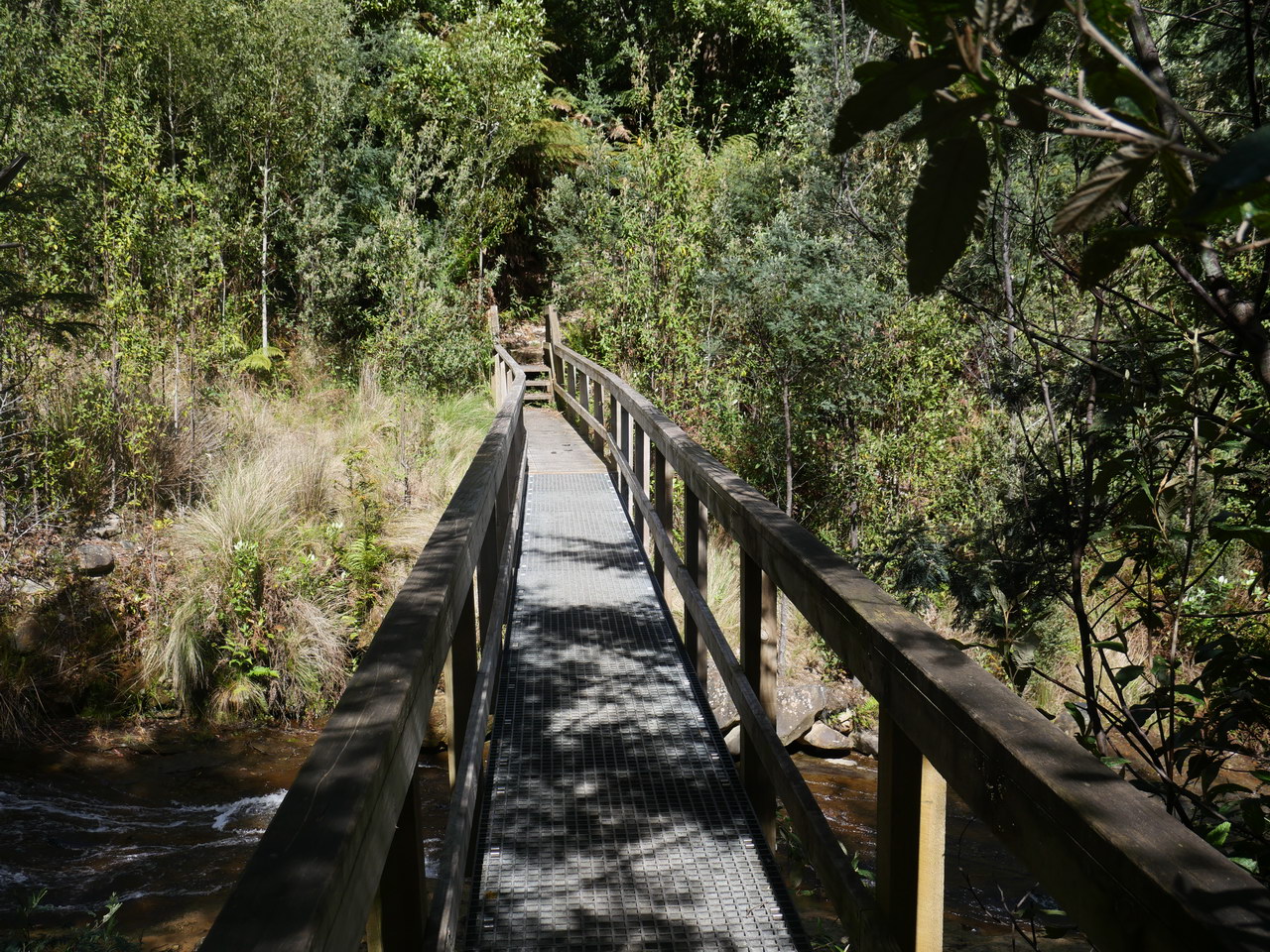
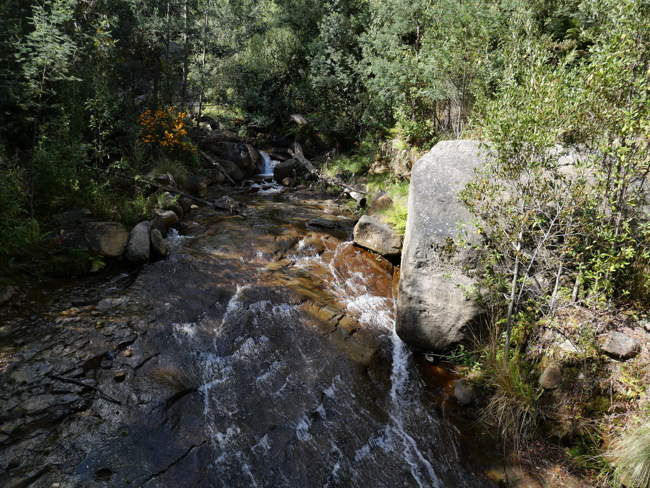
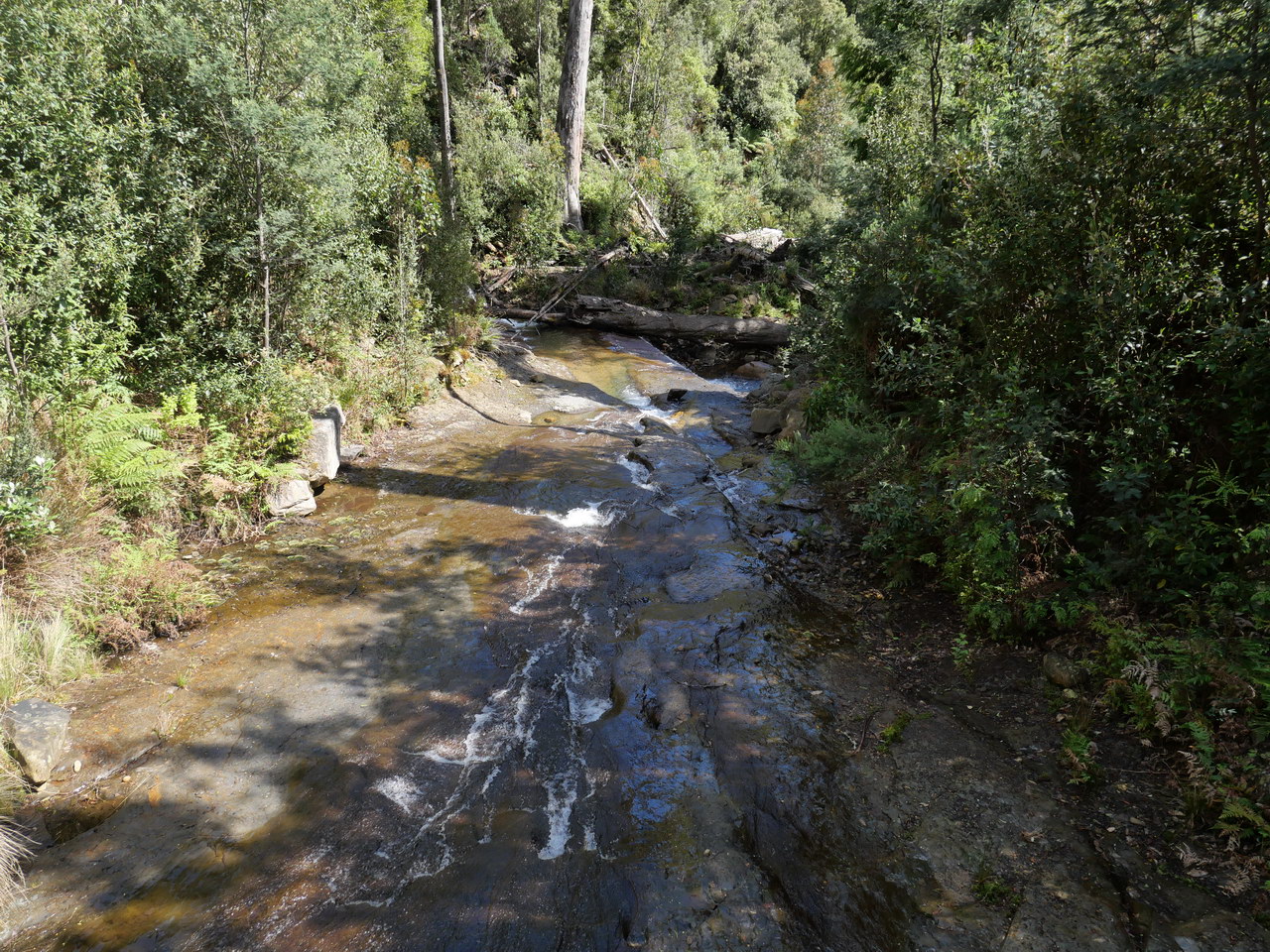
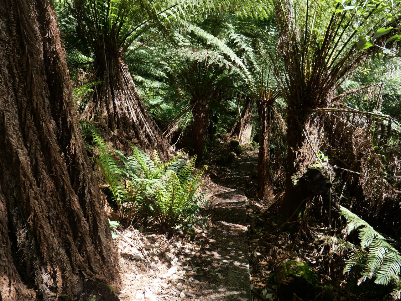
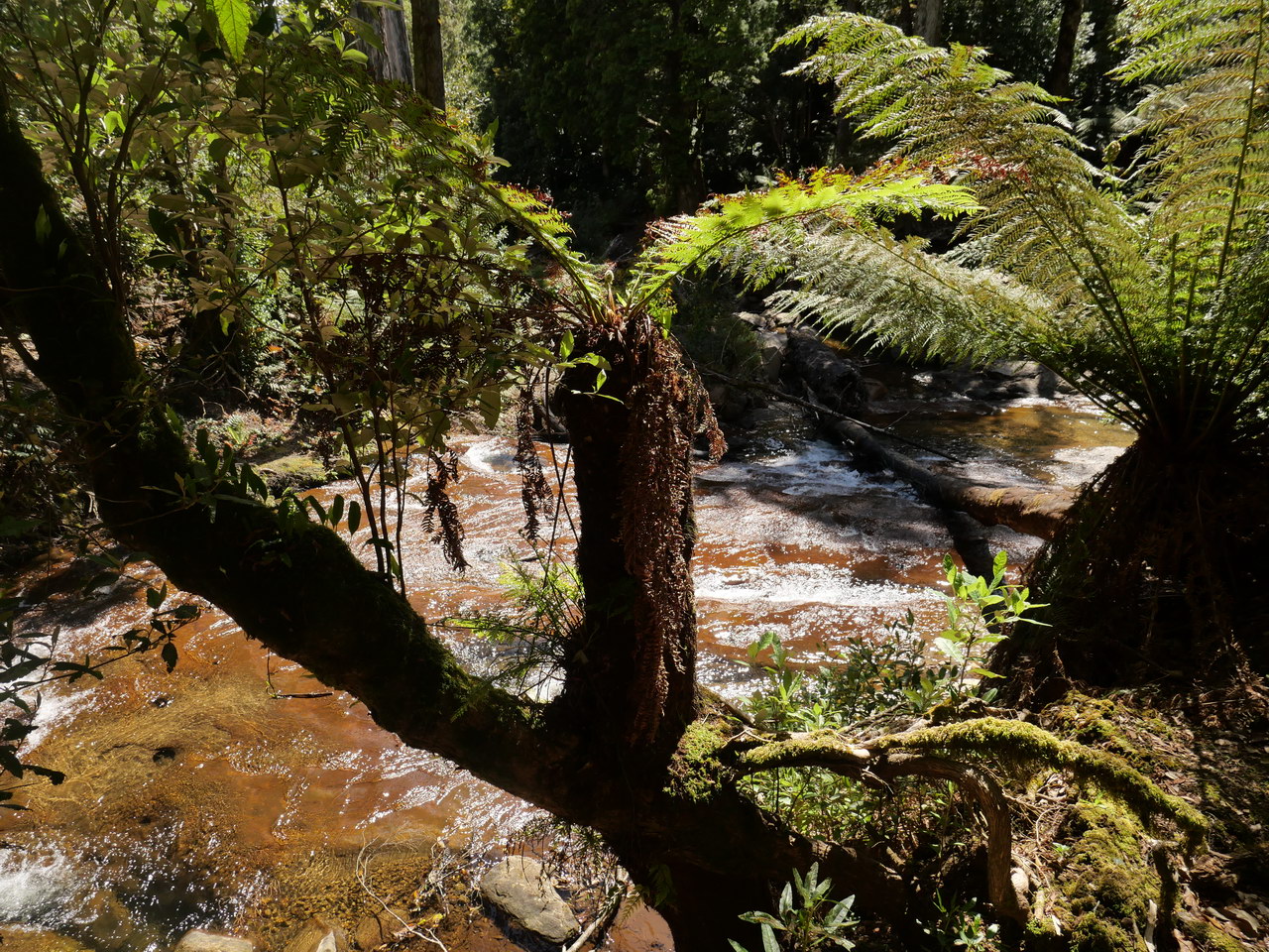
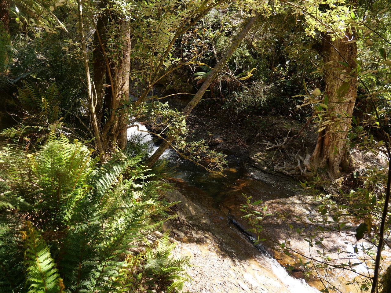
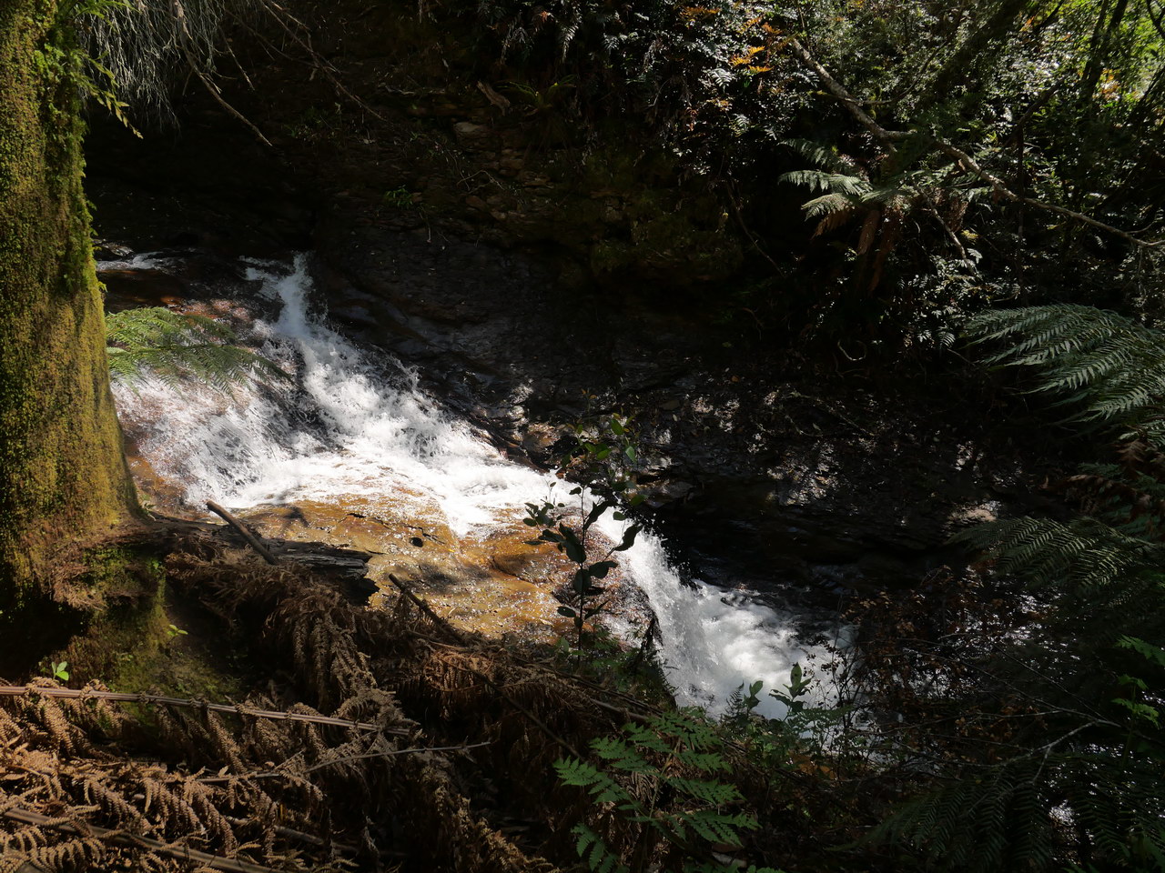
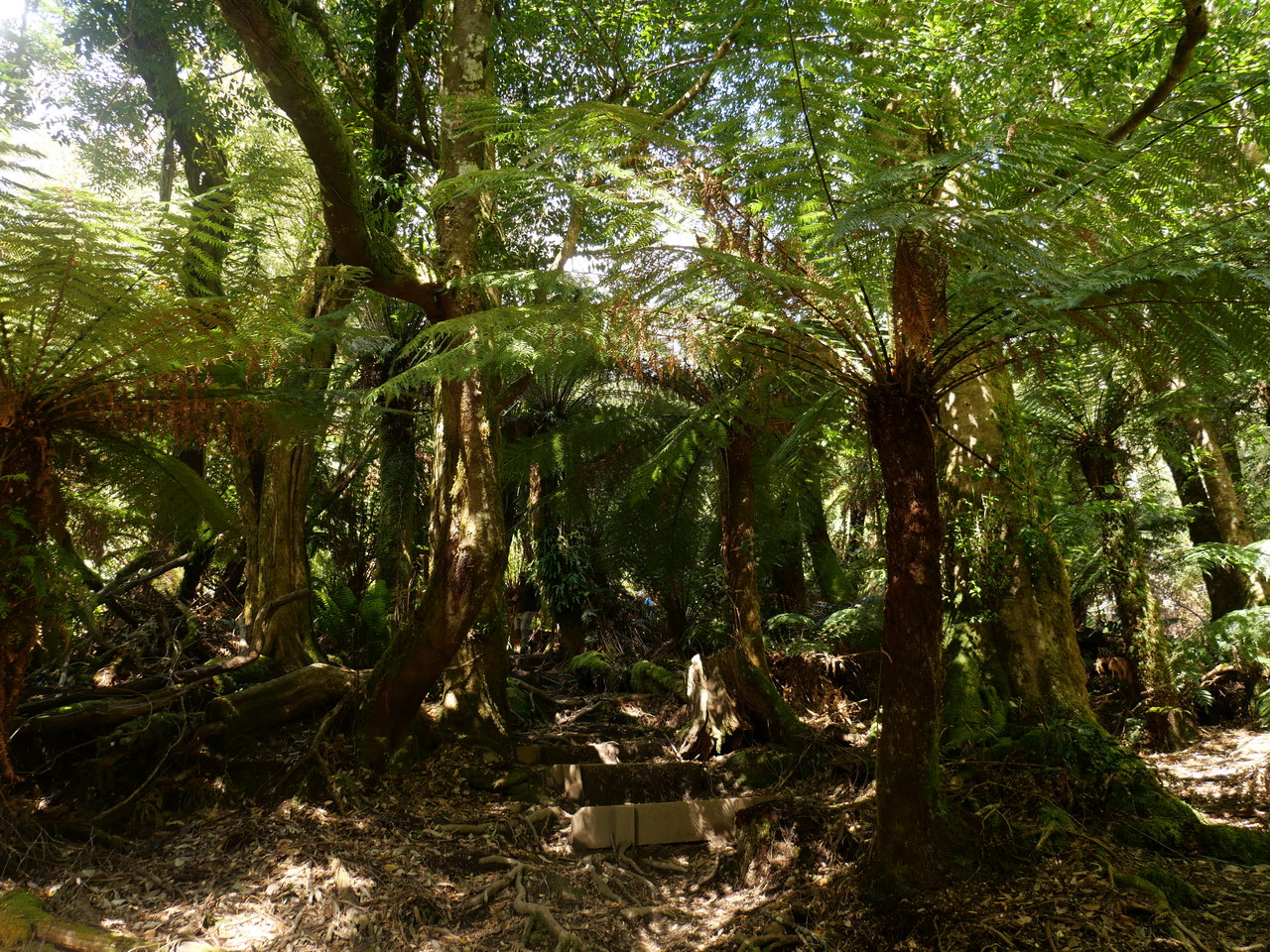
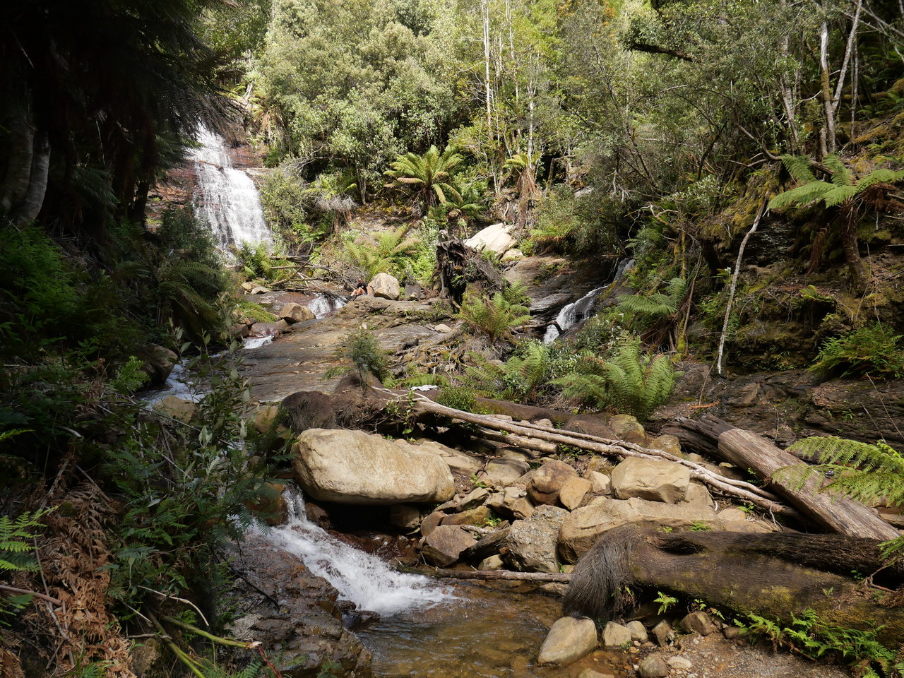
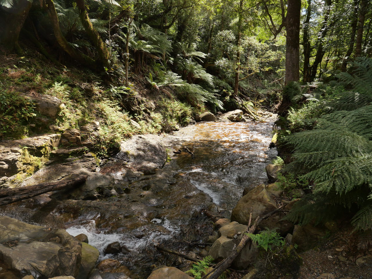
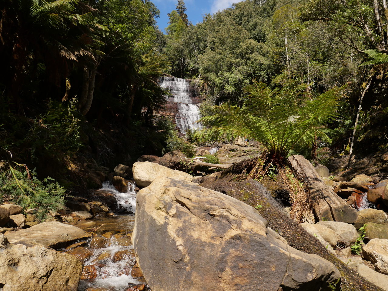
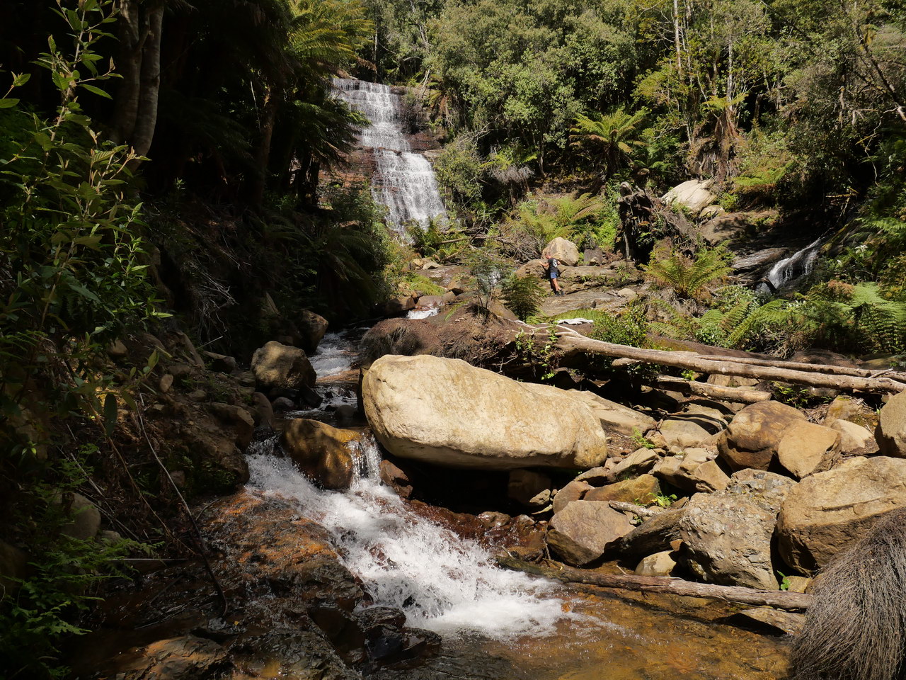
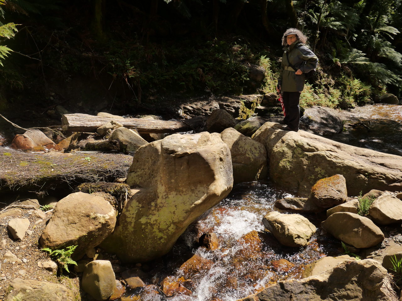
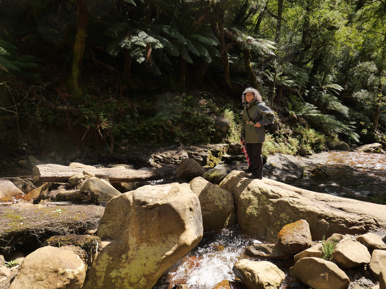
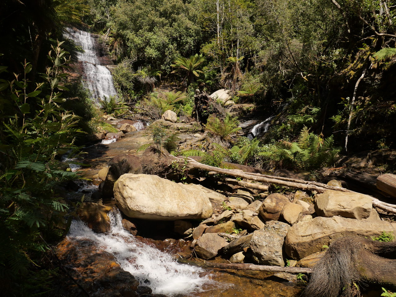
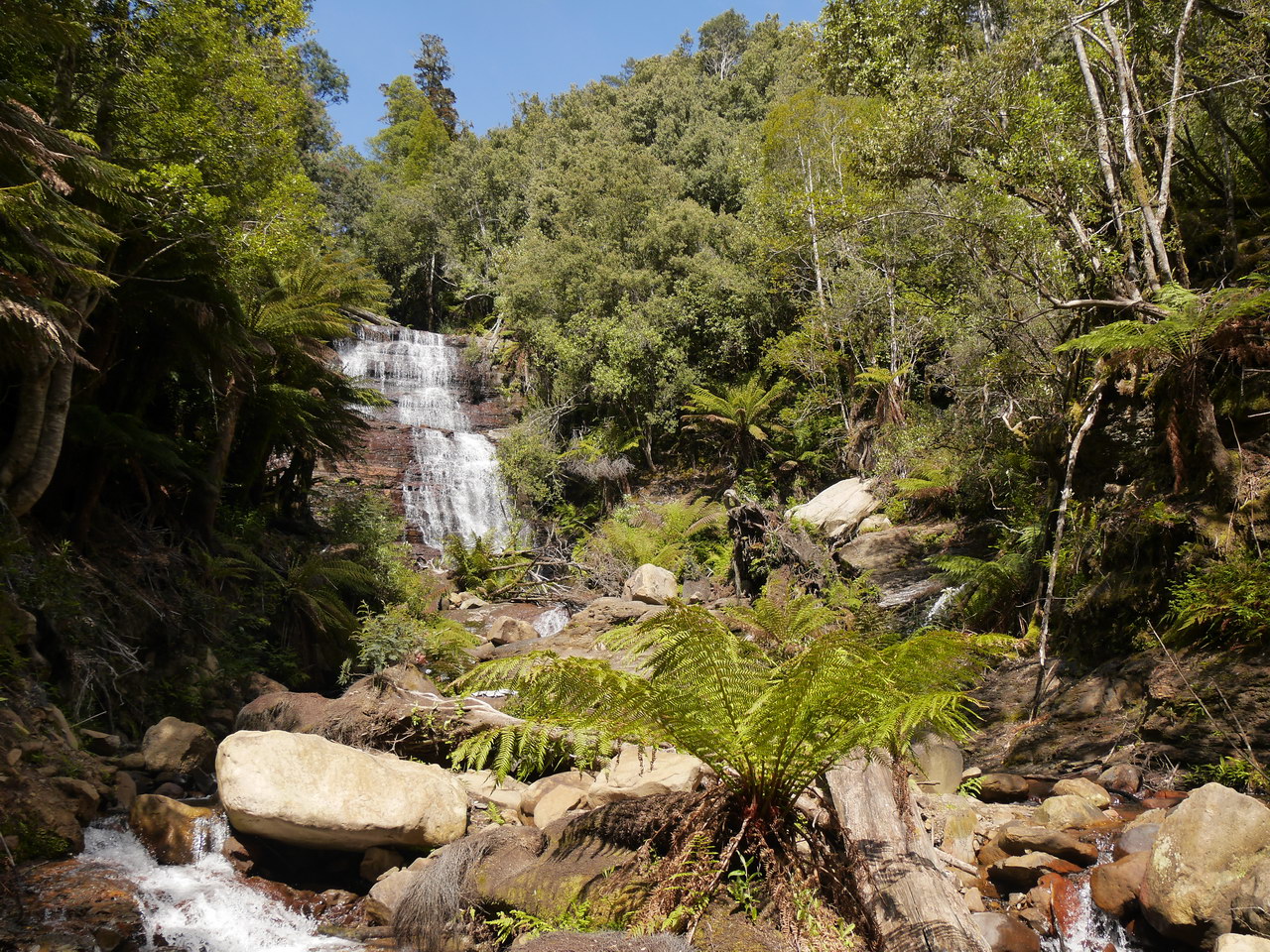
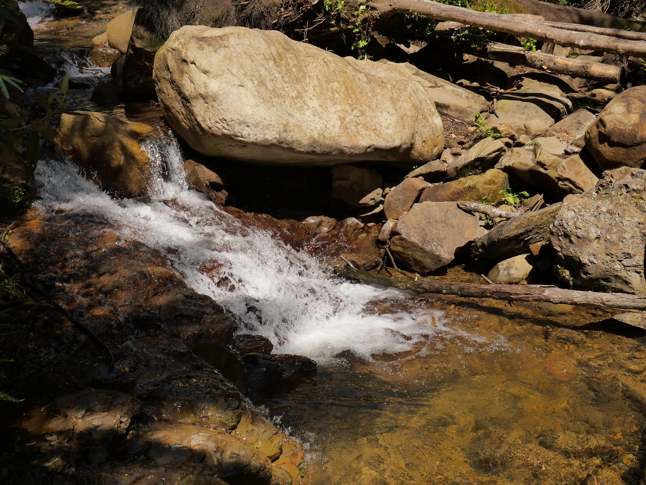
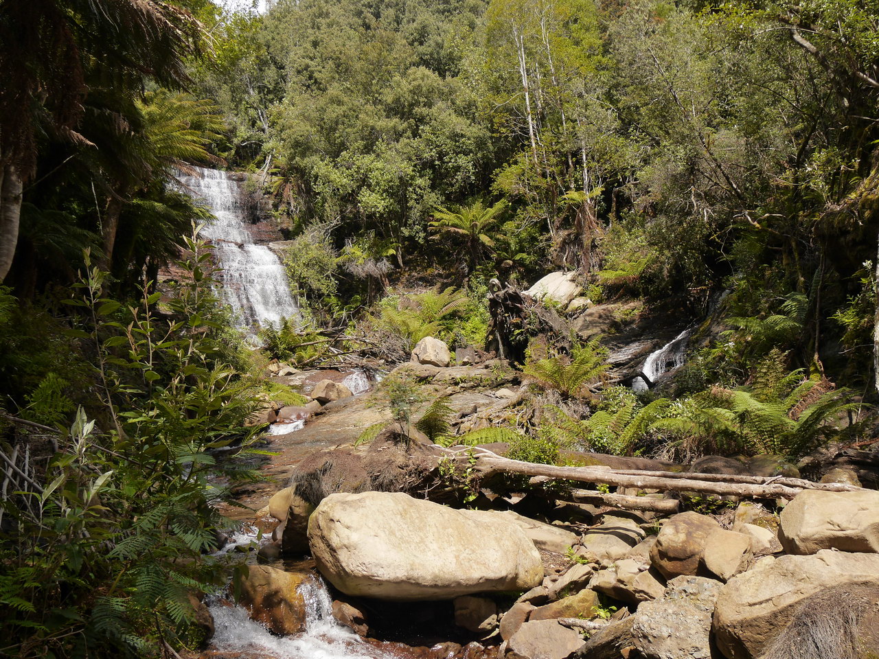
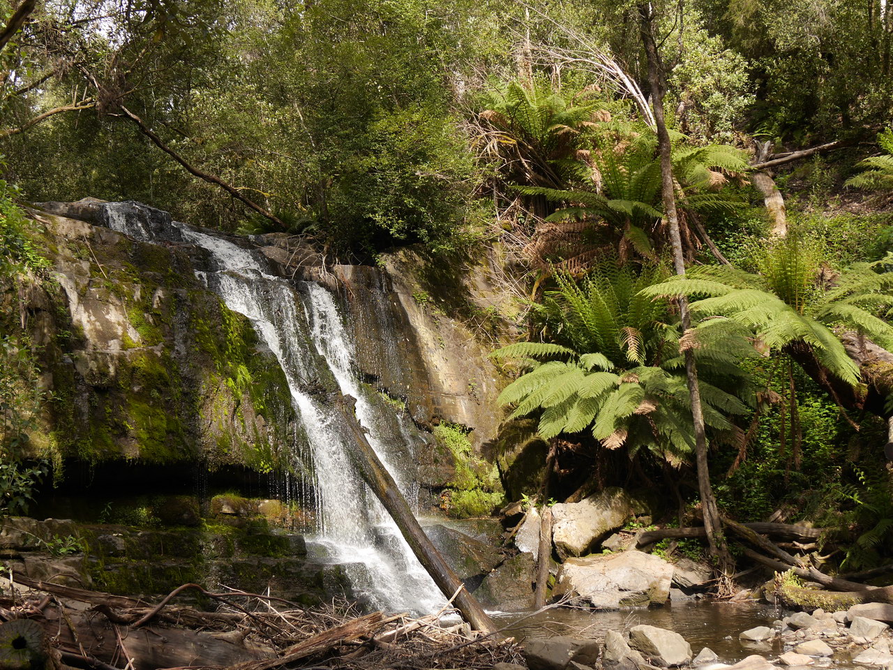
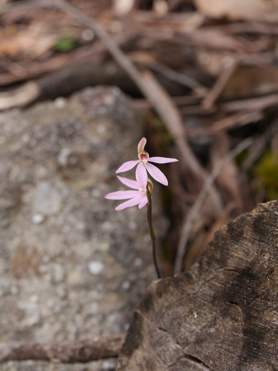
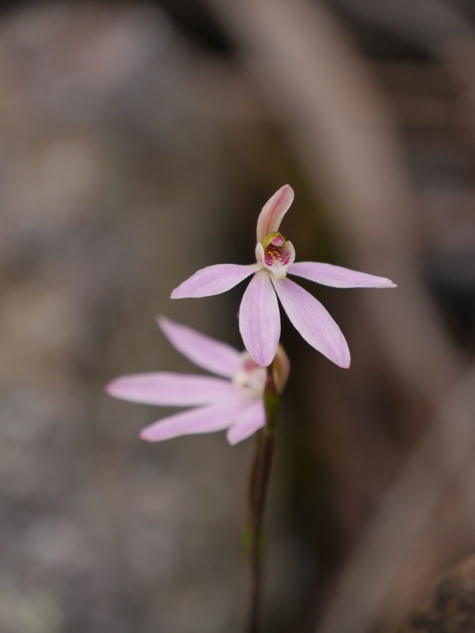
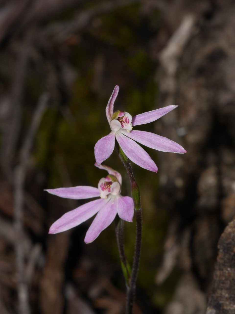
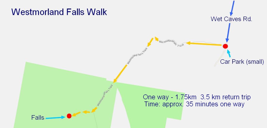
This unfortunately meant an uphill walk out; darn! The area was in drought and it showed but it all still looked good, tall trees and loads of tree ferns. The visitors book is full, has been for 2 years. Went we got to the falls a PhD student was wandering around in the centre of our falls photograph. He moved after a while so we got our shots. Later on we asked what he was doing and he said that there were great rock fossils on the big rock in the middle of the creek. After we admired the falls we retraced our steps back to the car park. This walk is around 1.75km in length, 3.5 km return and takes with photos etc around 35 minutes one way and 1 hour 10 minutes for a return trip plus some viewing time. |
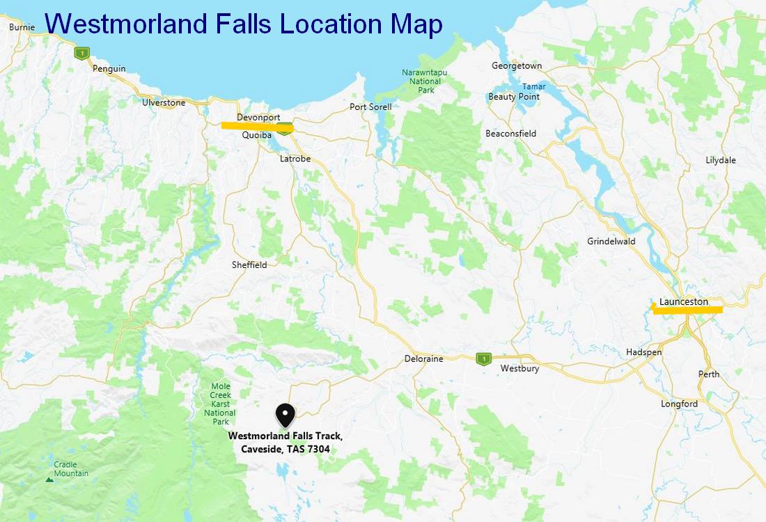
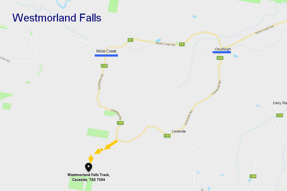
| Location Map:- |
|
|
|
|
| Walk Map:- |
|
|