| Walk to Redmans Bluff |
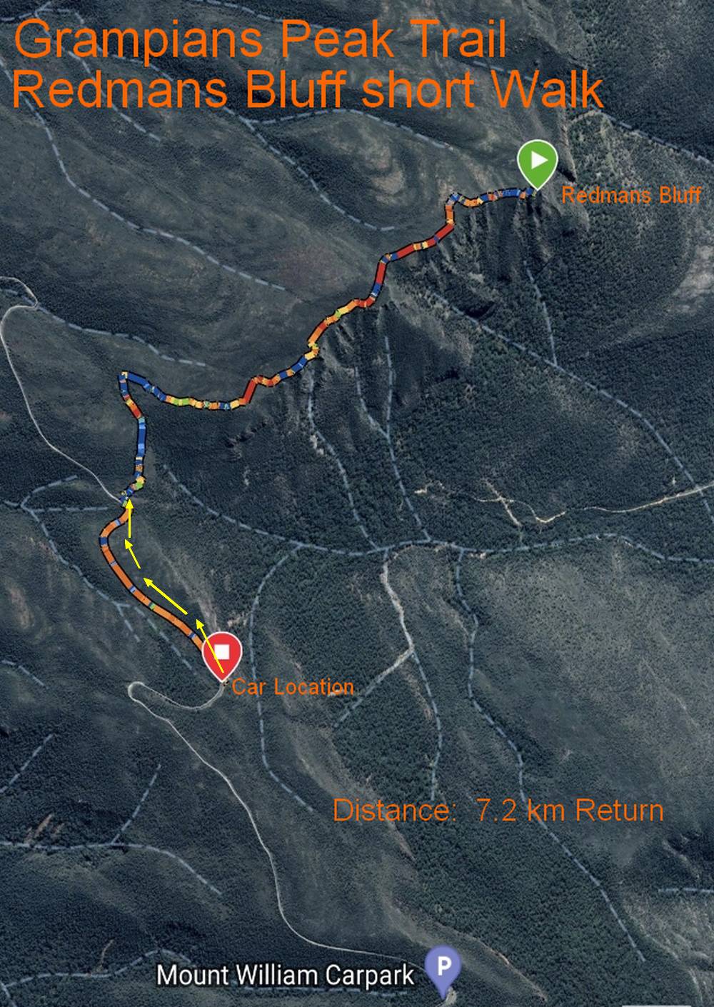
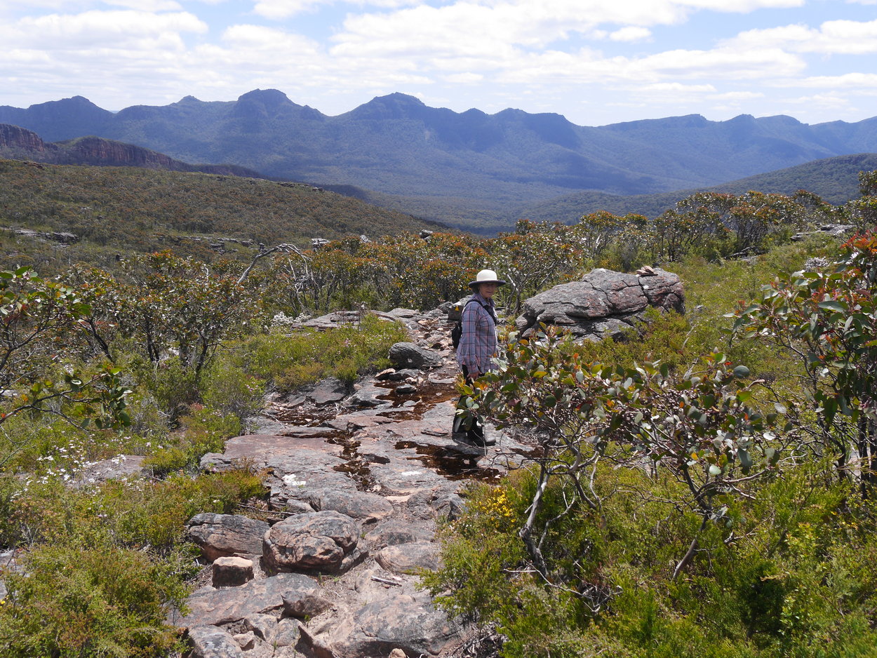
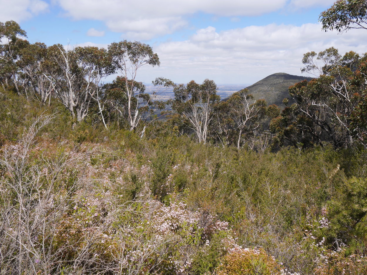
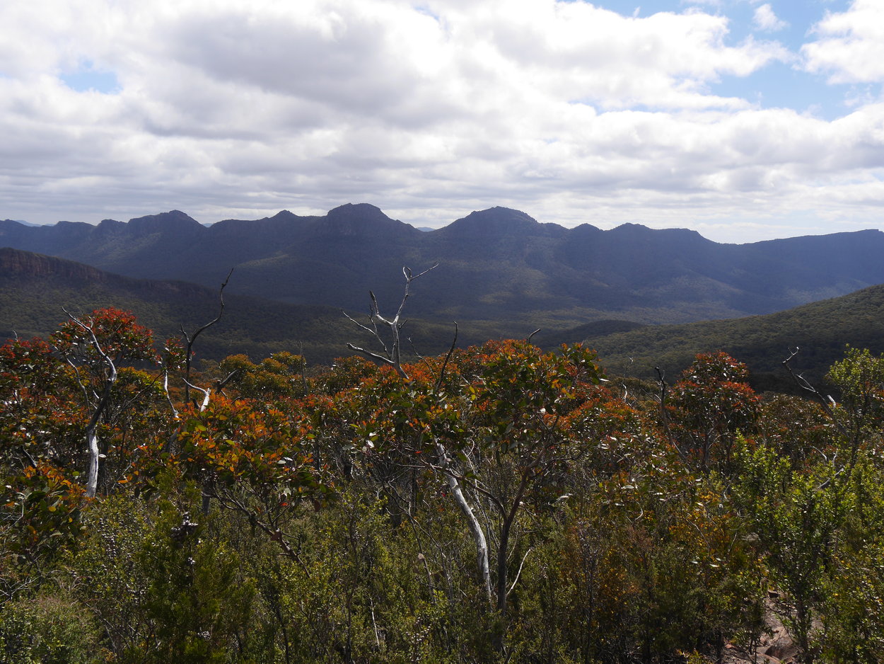
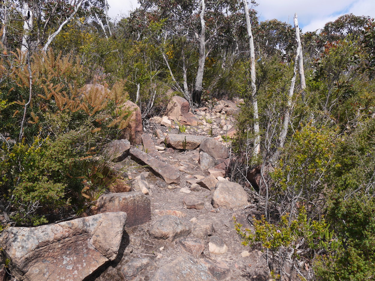
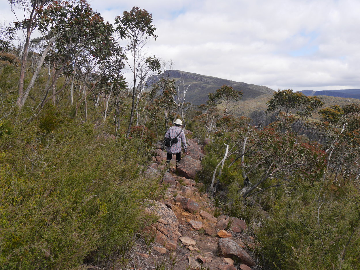
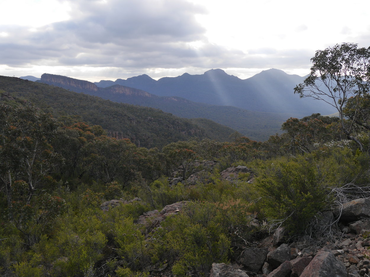
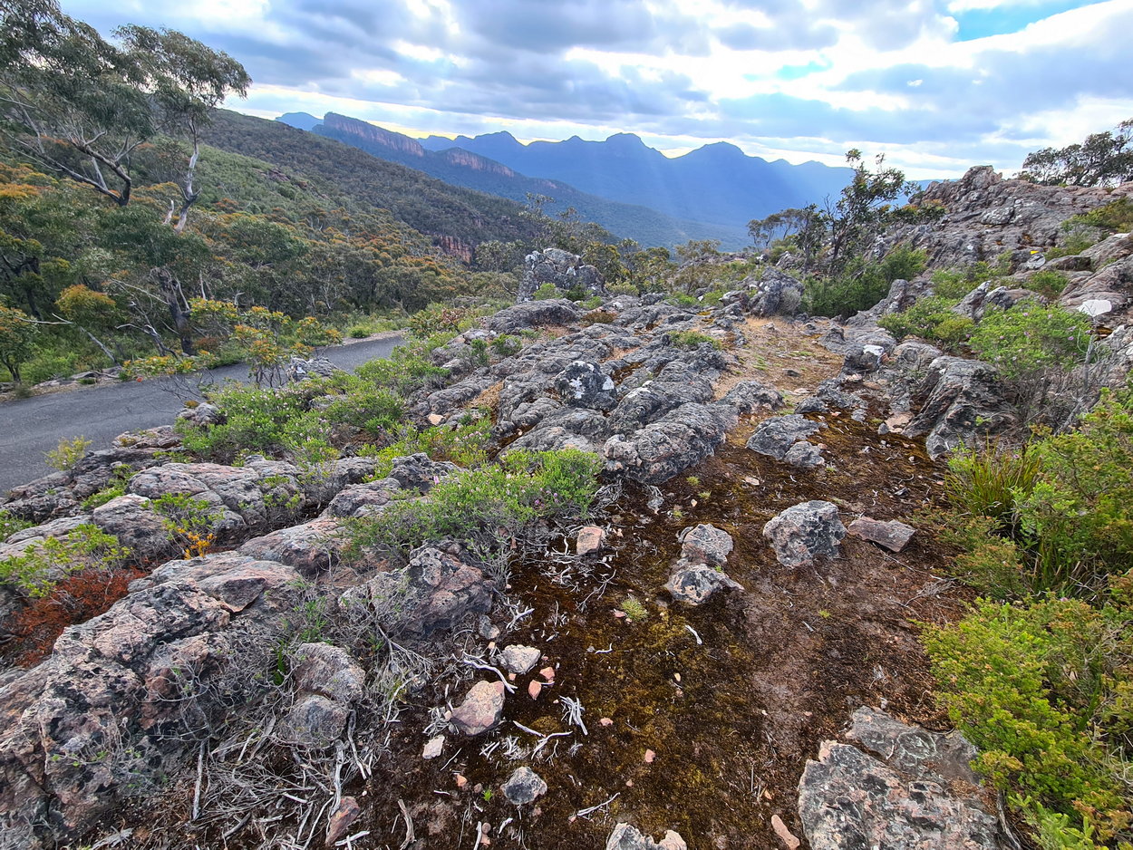
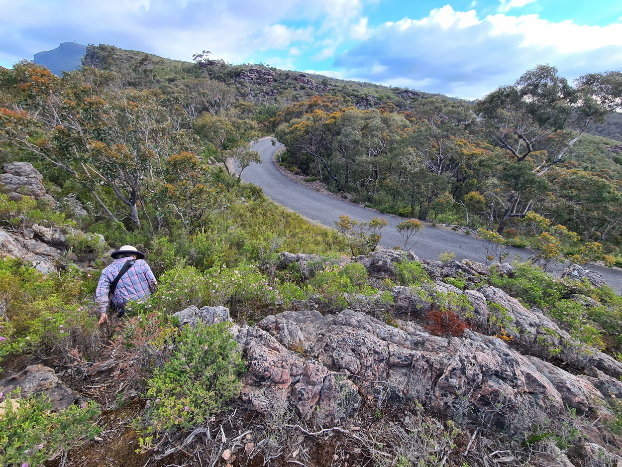
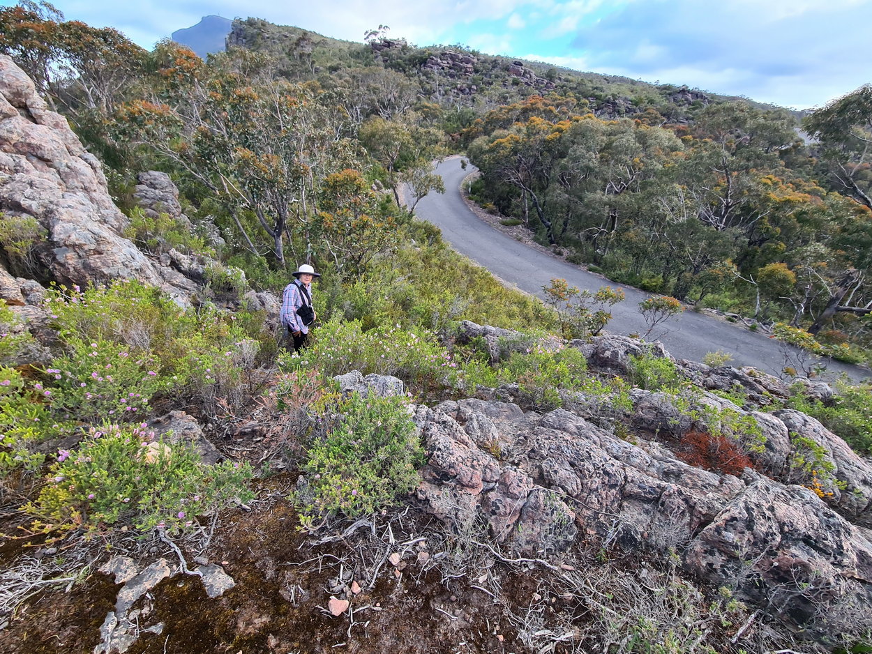
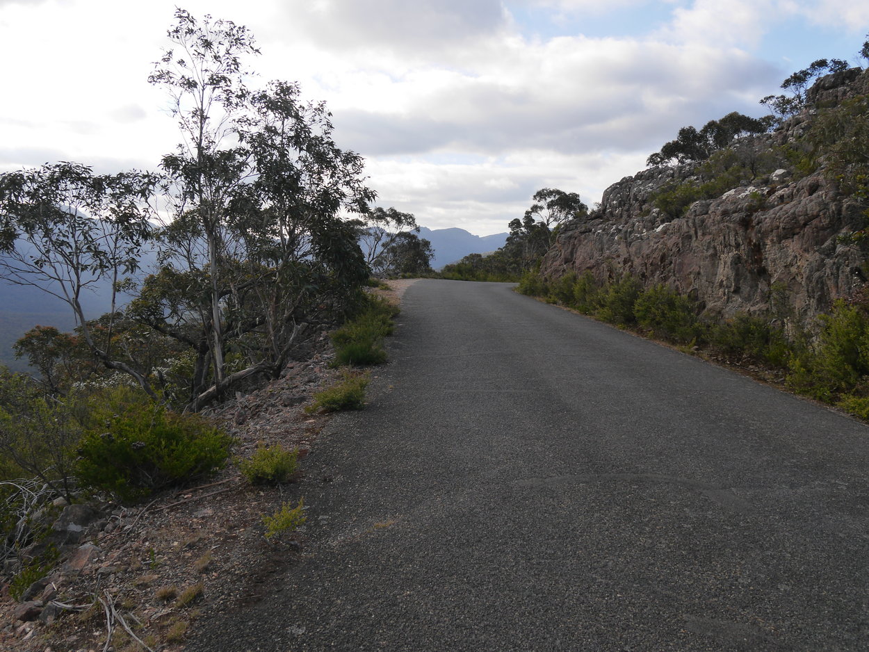
| Redman Bluff Walk:- We were organized to do a car shuffle for our daughter who, along with her husband were walking from the Borough Huts Campground to Mt William and on to Jimmy Creek Campground via the new Grampians Peaks Trail. To them this was an overnighter. We just had to ferry them back from Jimmy Creek campground to their car at Borough Huts. An easy task. So to fill in our first day we decided to see if we could meet them along their route. We drove up Mt William road to where we could park the car safely and join the trail. This turned out to be an old lookout and now a water point for the GPT. We headed towards Redman Bluff (see yellow arrows on the walk map) initially downhill, it was a rocky and treacherous track and we were consequentially going quite slow. Some kilometre down the track the Mt. William bitumen road going up was only a few metres away and looked easy to access. After another hour we met them and described the track ahead of them and our possible cross to the bitumen on the way back if it was getting late. They were also concerned that they were running behind schedule and would keep our intentions in mind. We continued on. At the bluff, Mischa remembered that we were not recording the trip on our Garmin watch; disappointing! Fortunately we recorded the return trip. We took off downhill and at the pinch point we cut across to the main road and headed back to the car, thankful that we were off the rocky treacherous track back to the water tank and lookout. Part 2 |
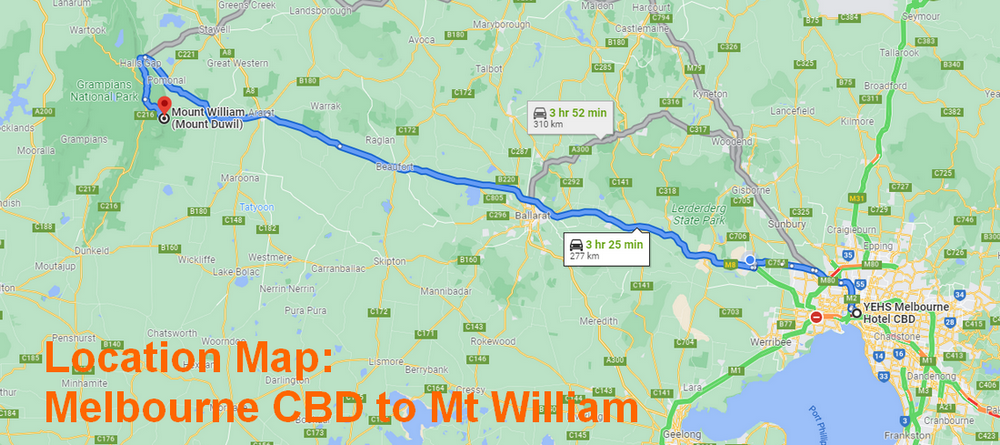
| Walk Location Map |
|
|
| Walk Map: |
|
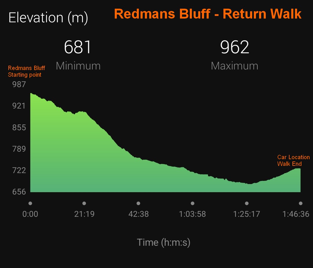
| Elevation Change: |
|
|
 |
 |
 |
| Starting Point - GPT water point and Lookout. | Redmans Bluff - our goal | |
 |
 |
 |
 |
 |
 |
 |
 |
 |
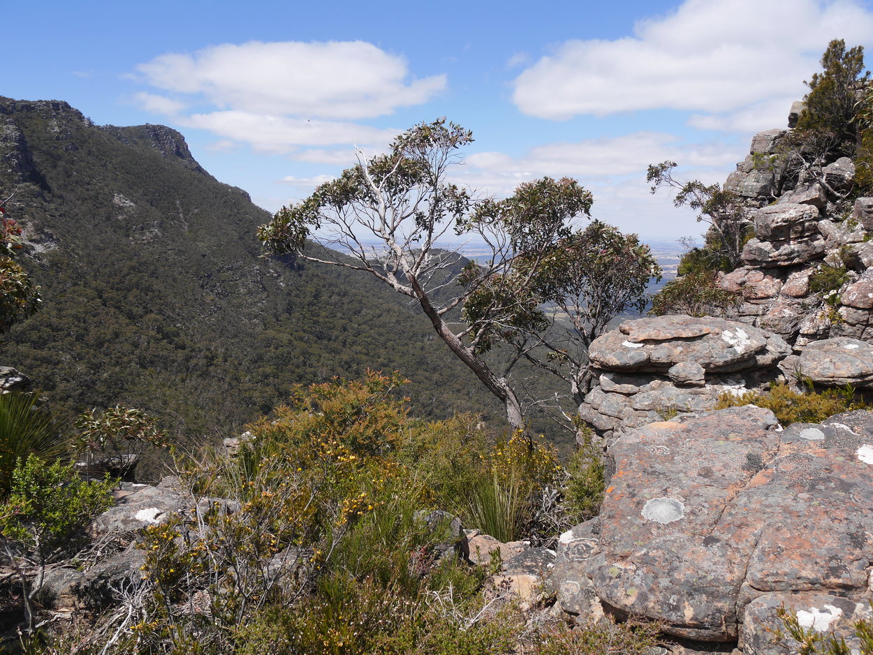
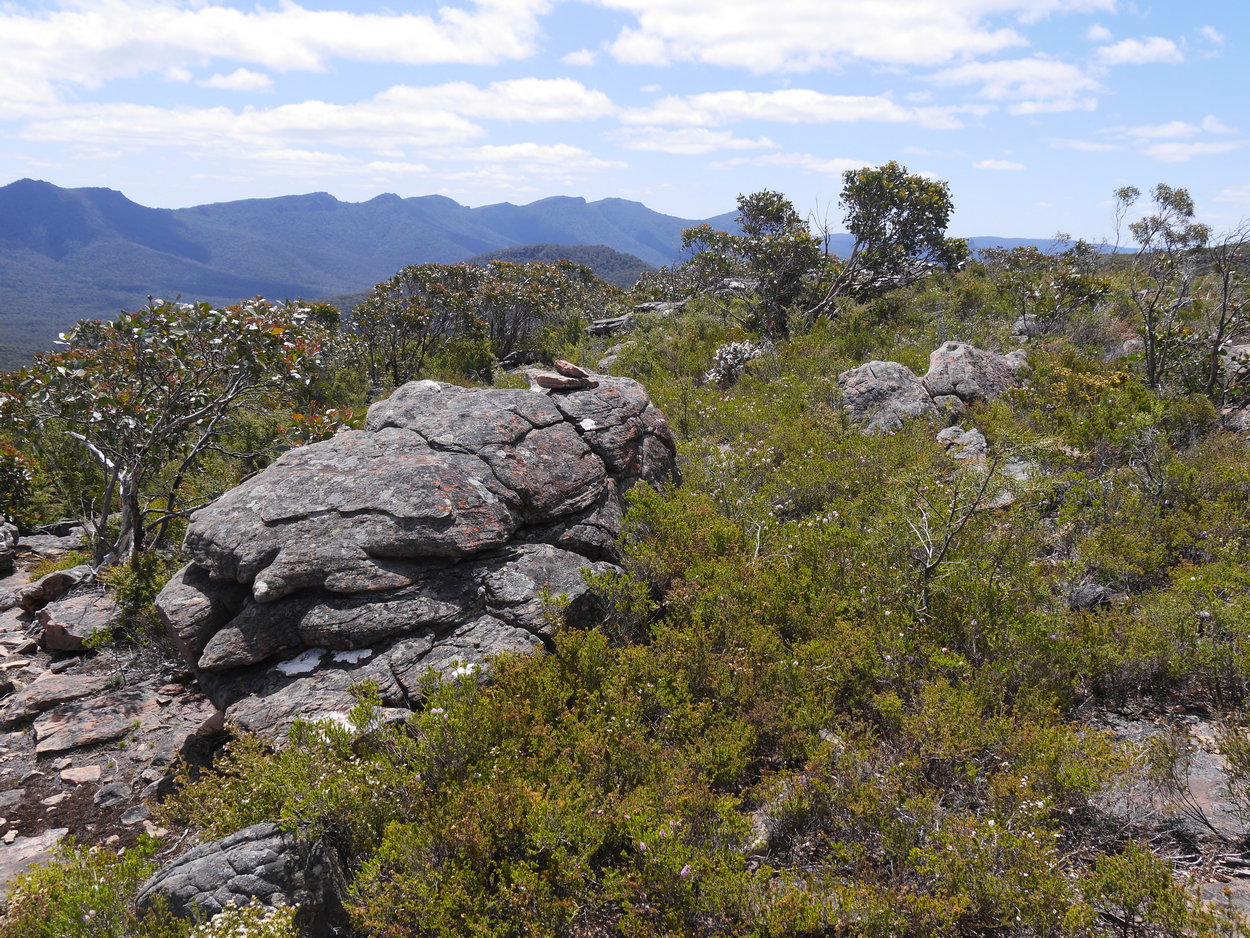
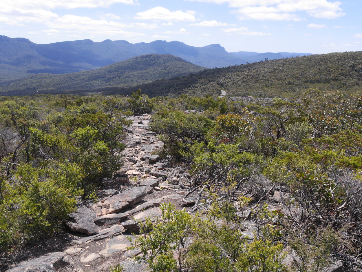
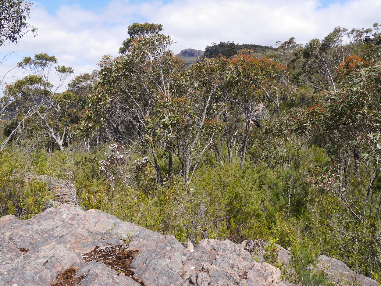
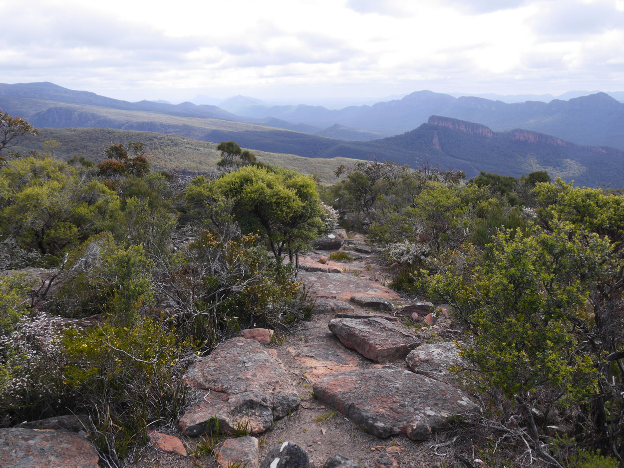
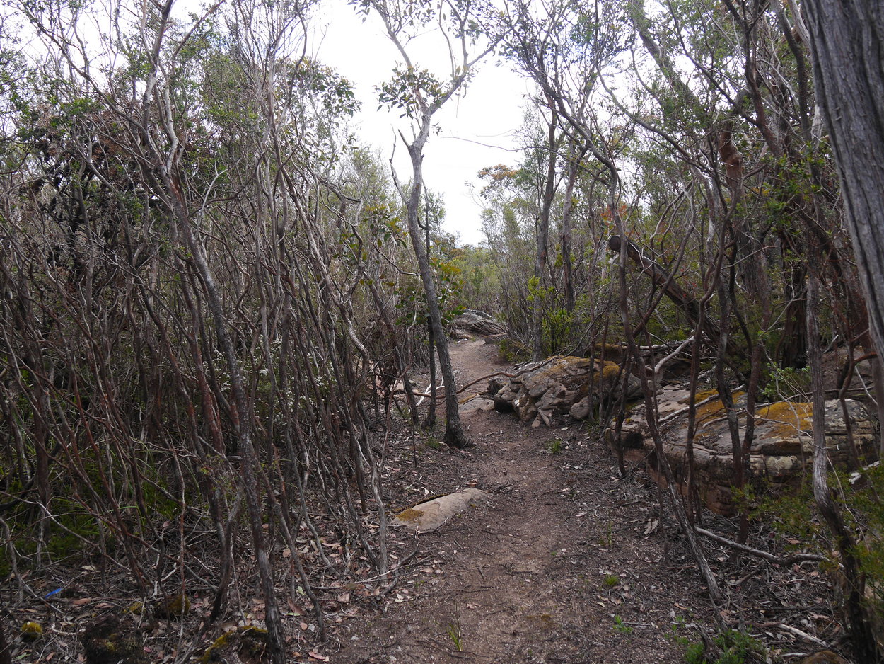
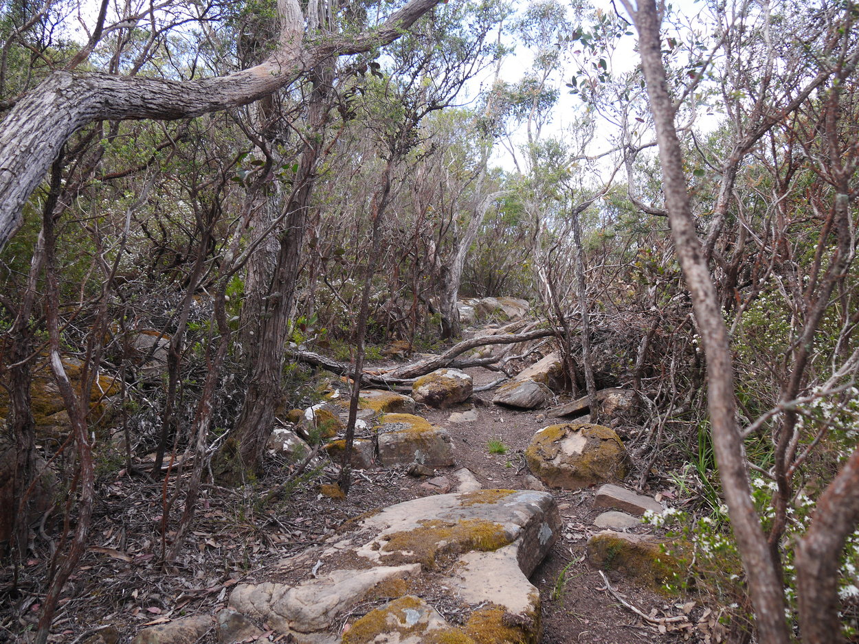
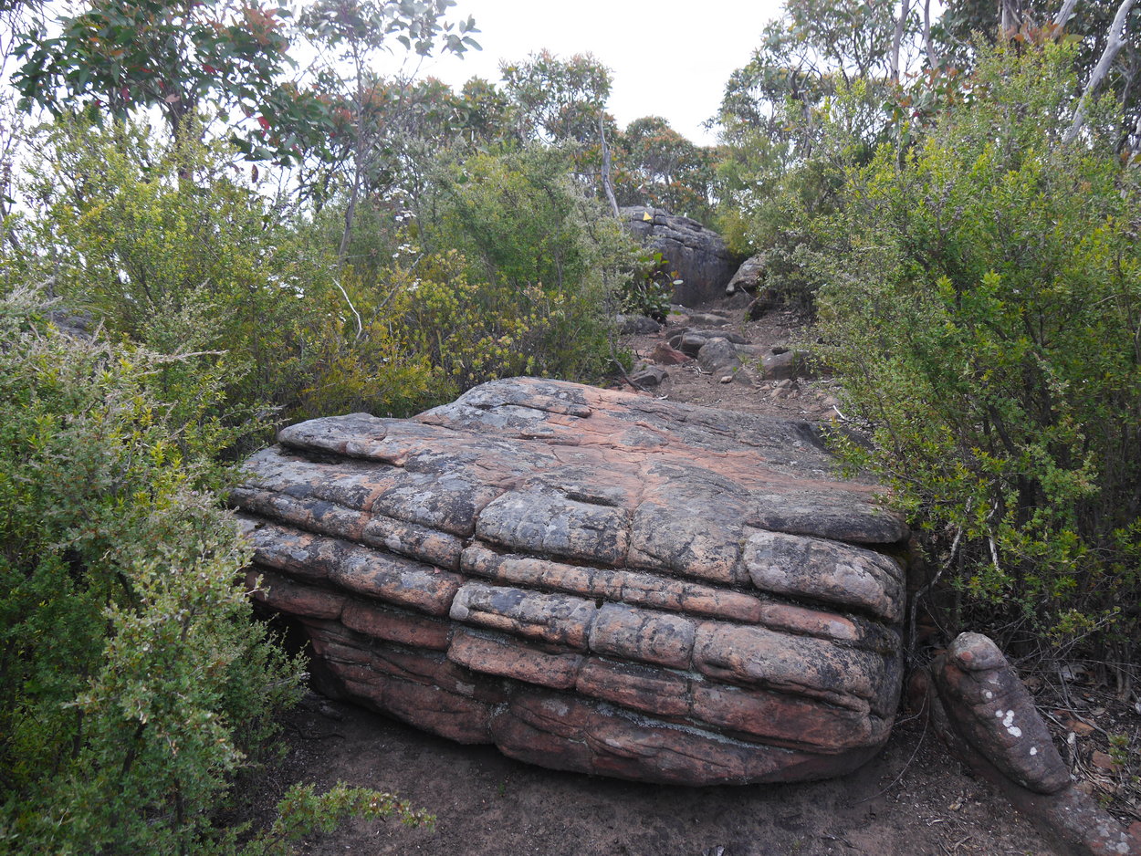
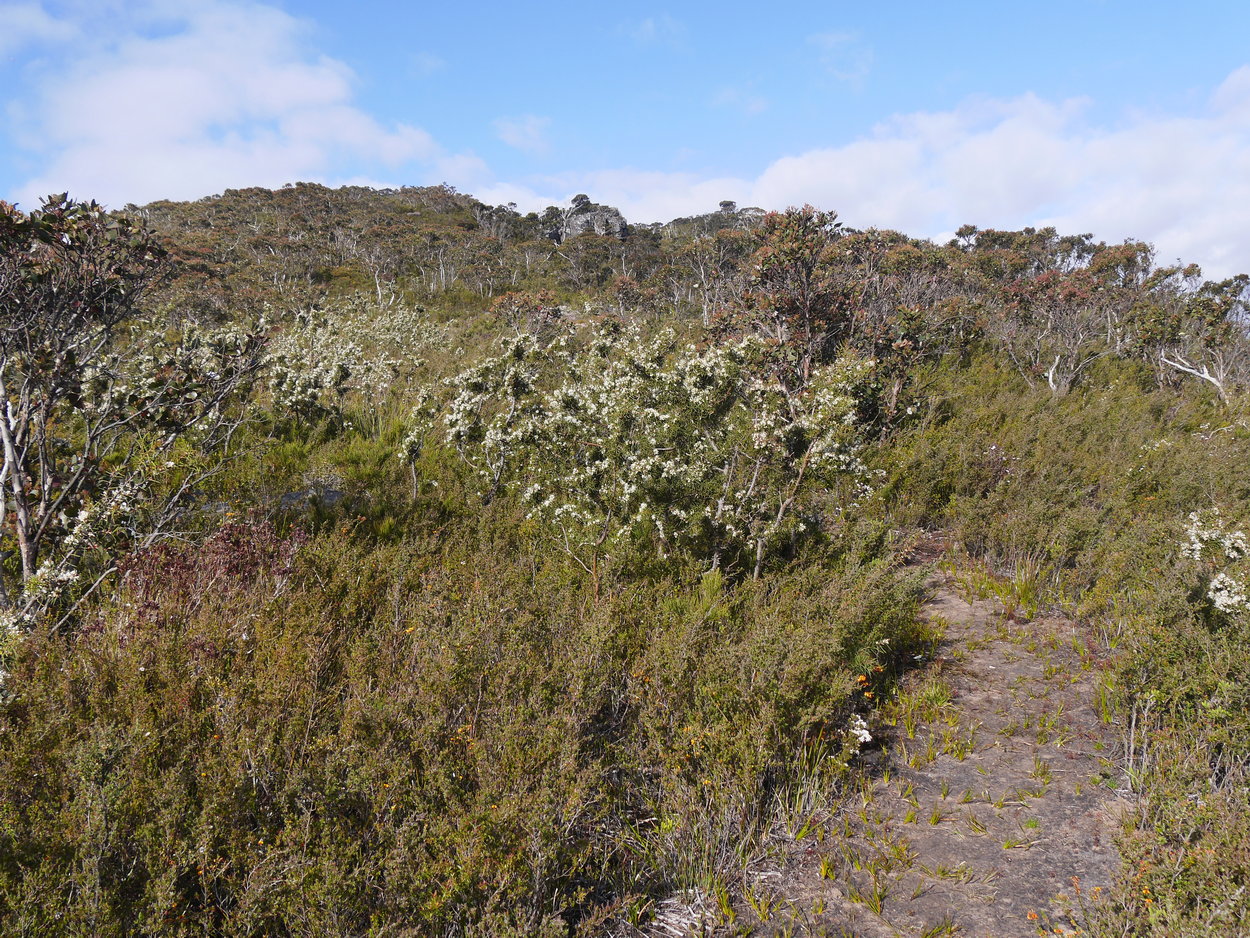
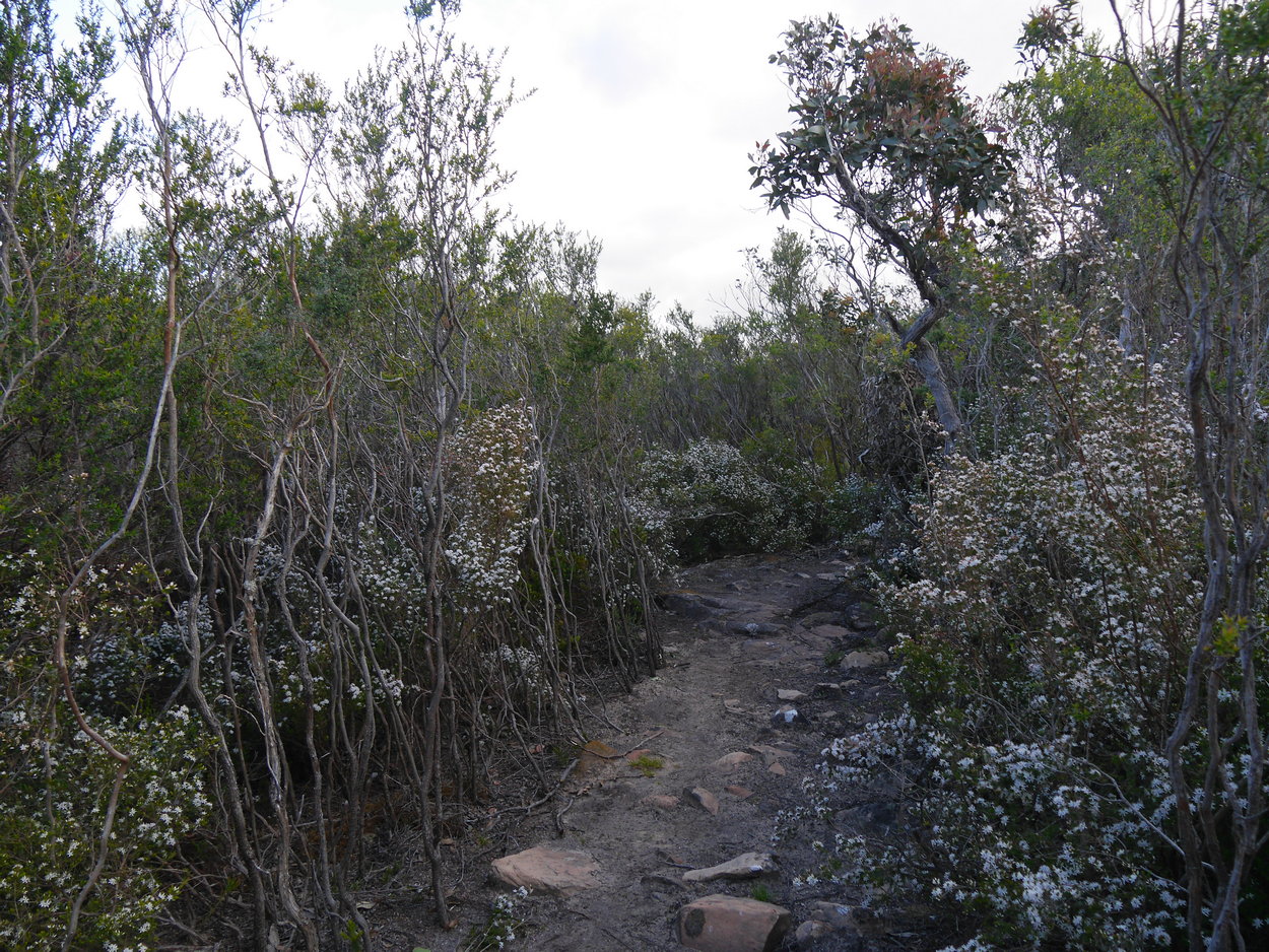
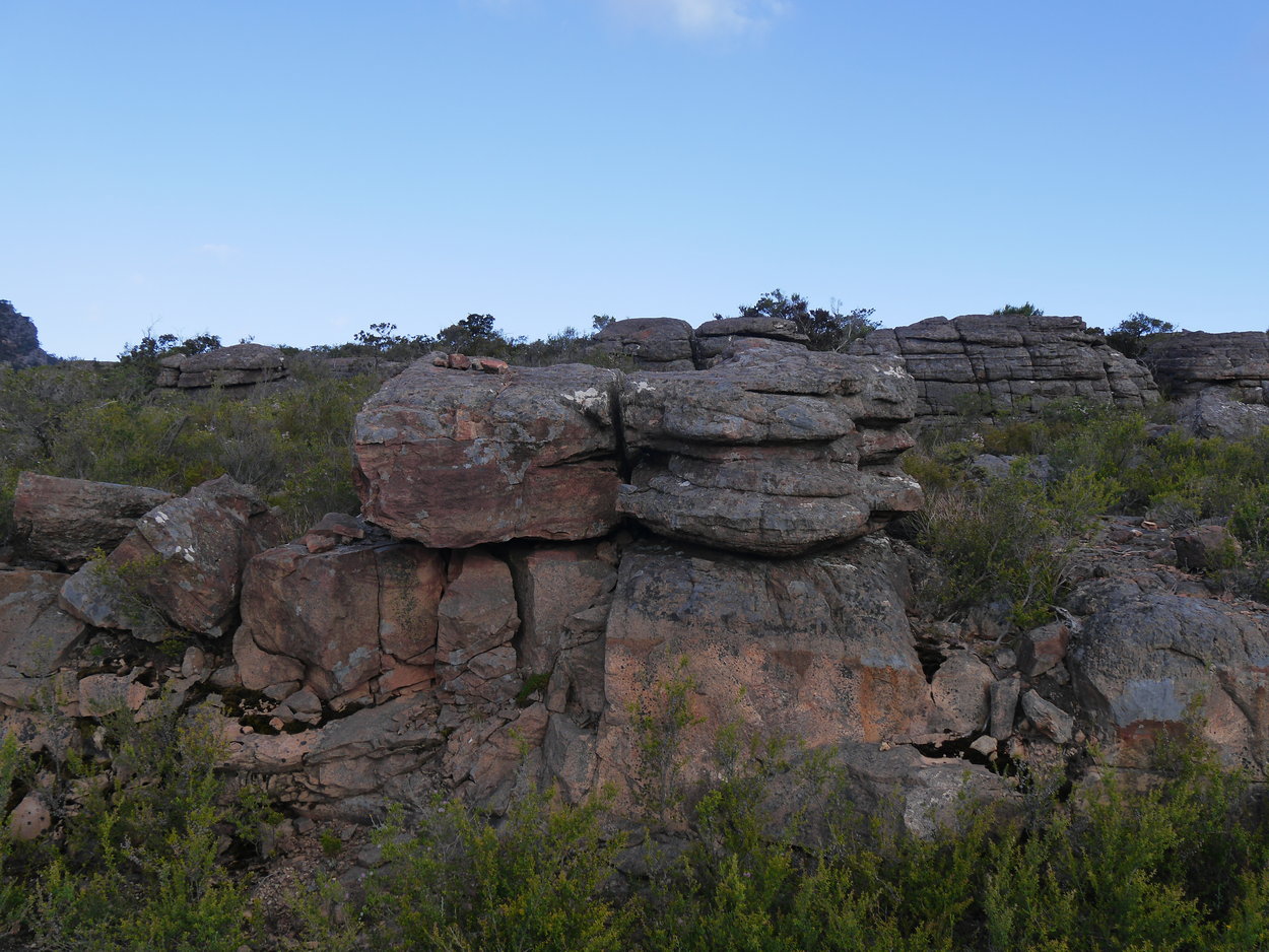
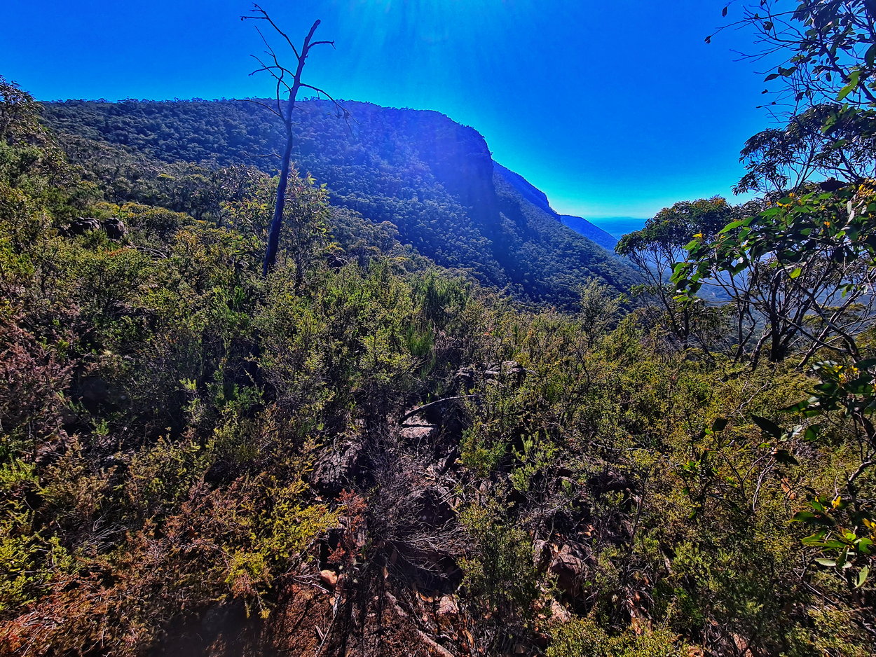
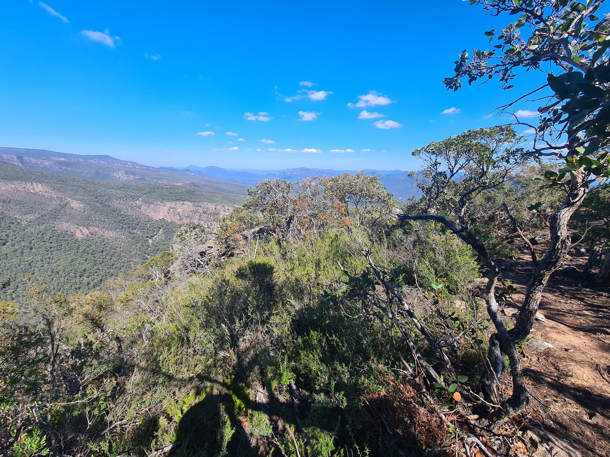
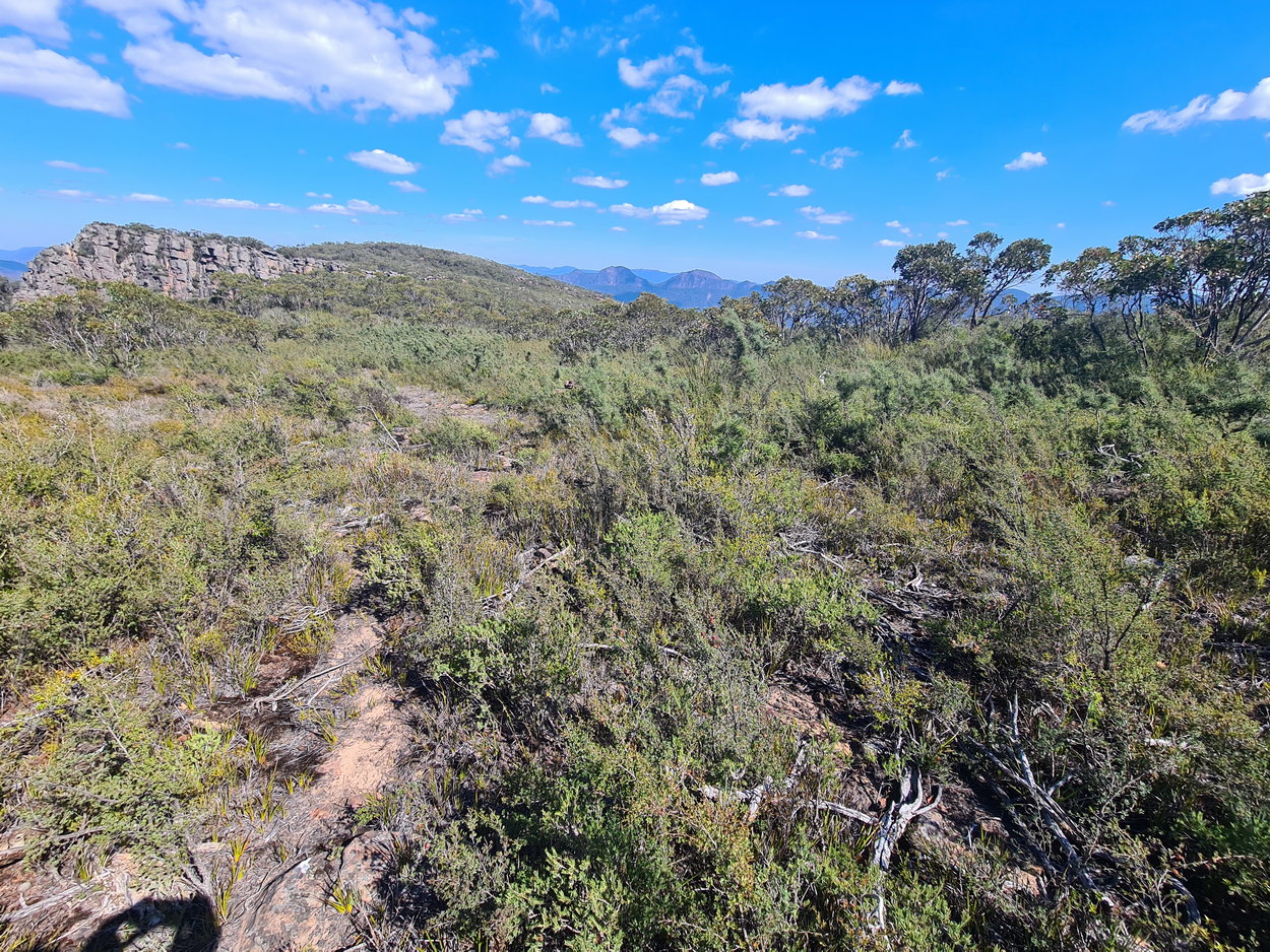
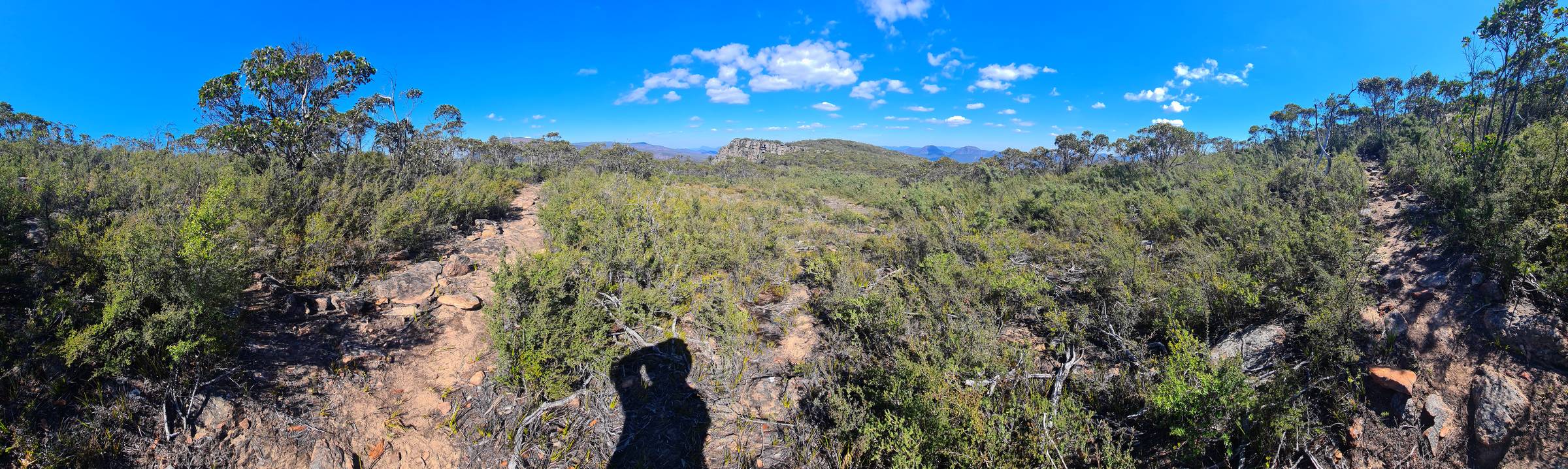
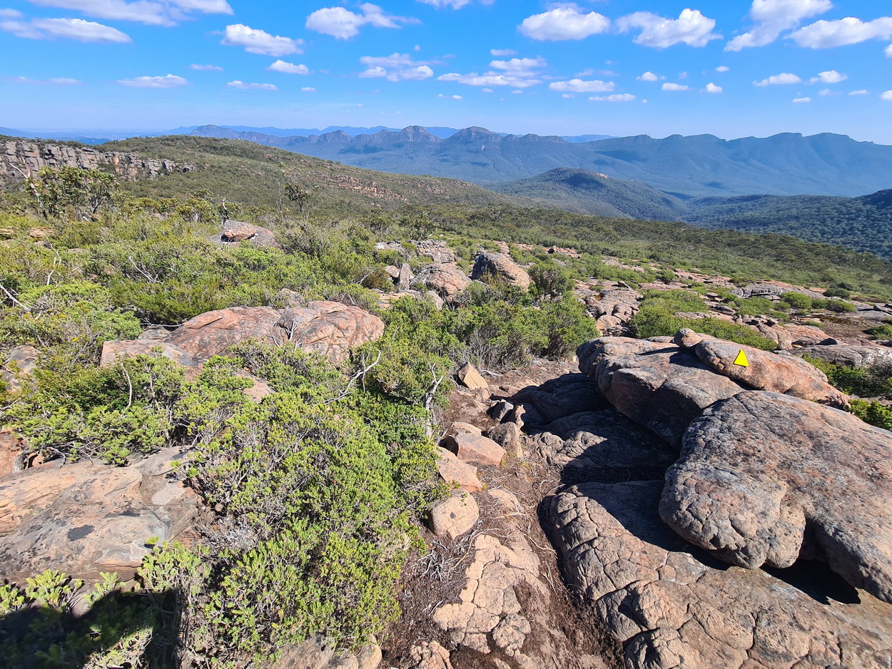
| A rough and rocky track at this point | ||
 |
 |
 |
 |
 |
 |
 |
 |
 |
 |
 |
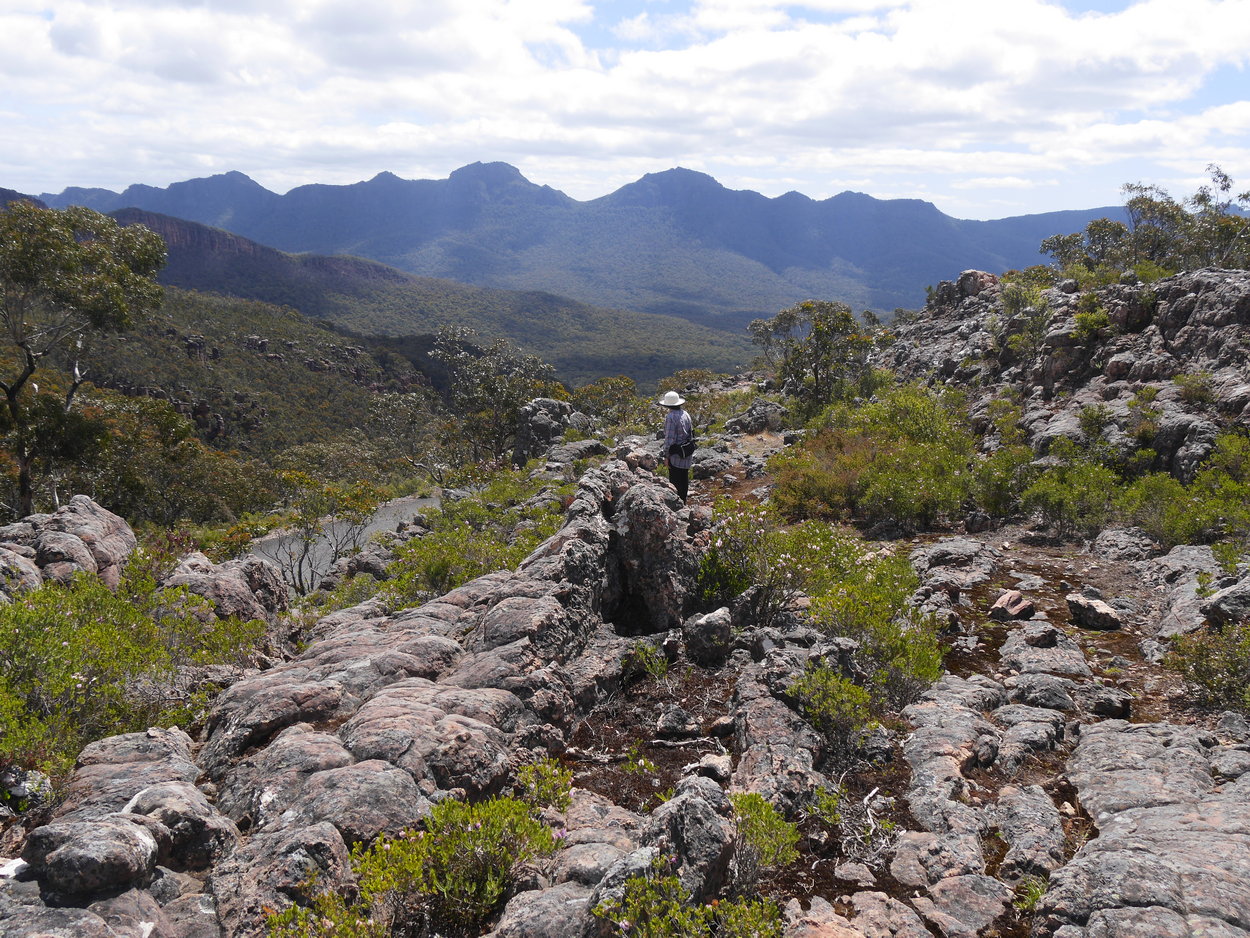 |
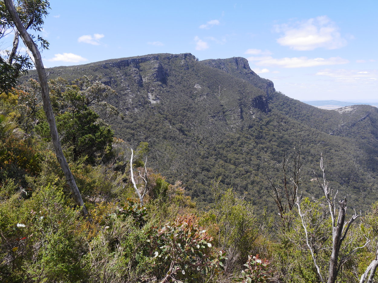
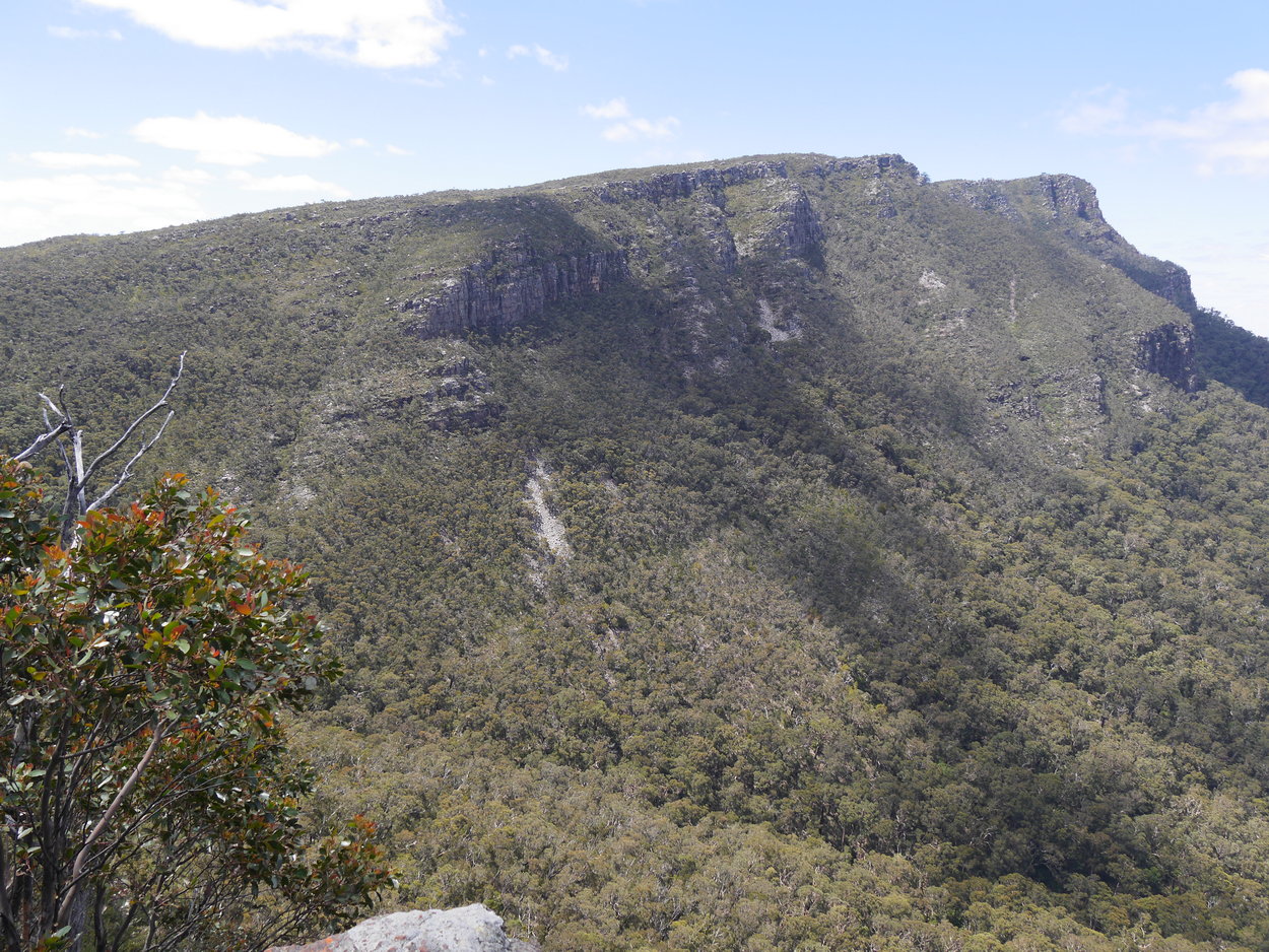
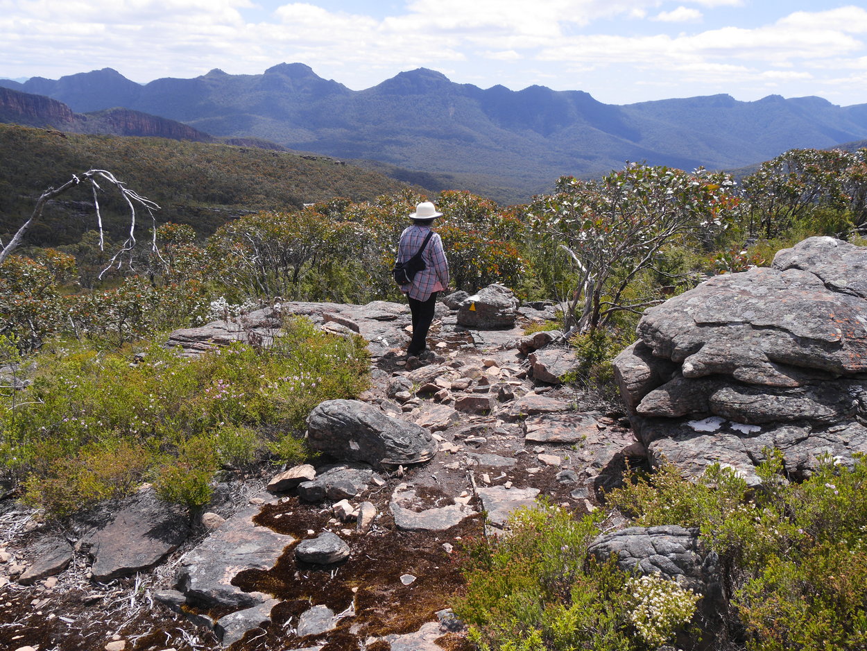
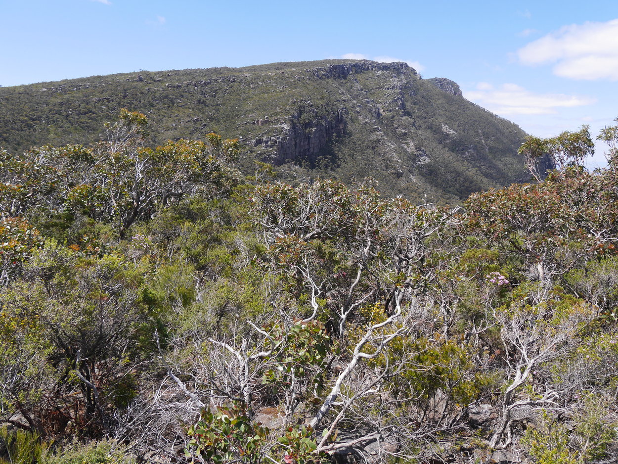
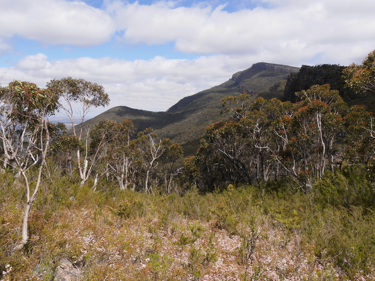
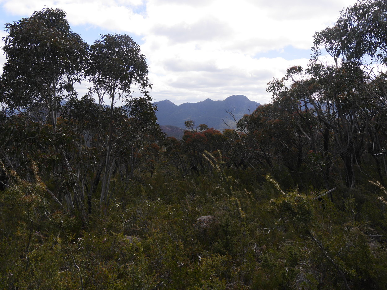
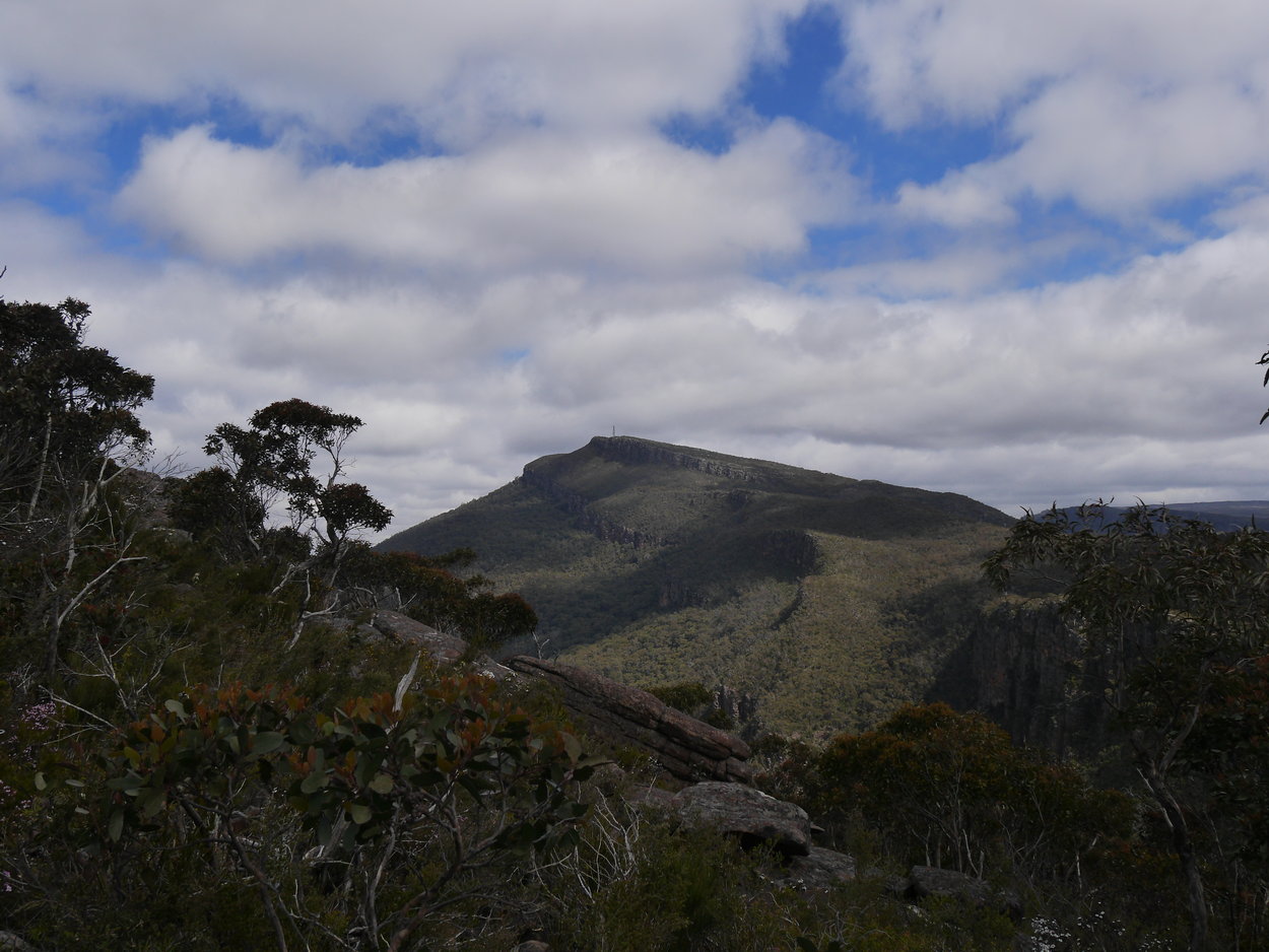
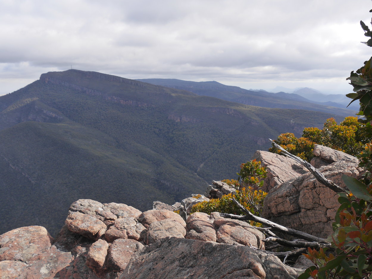
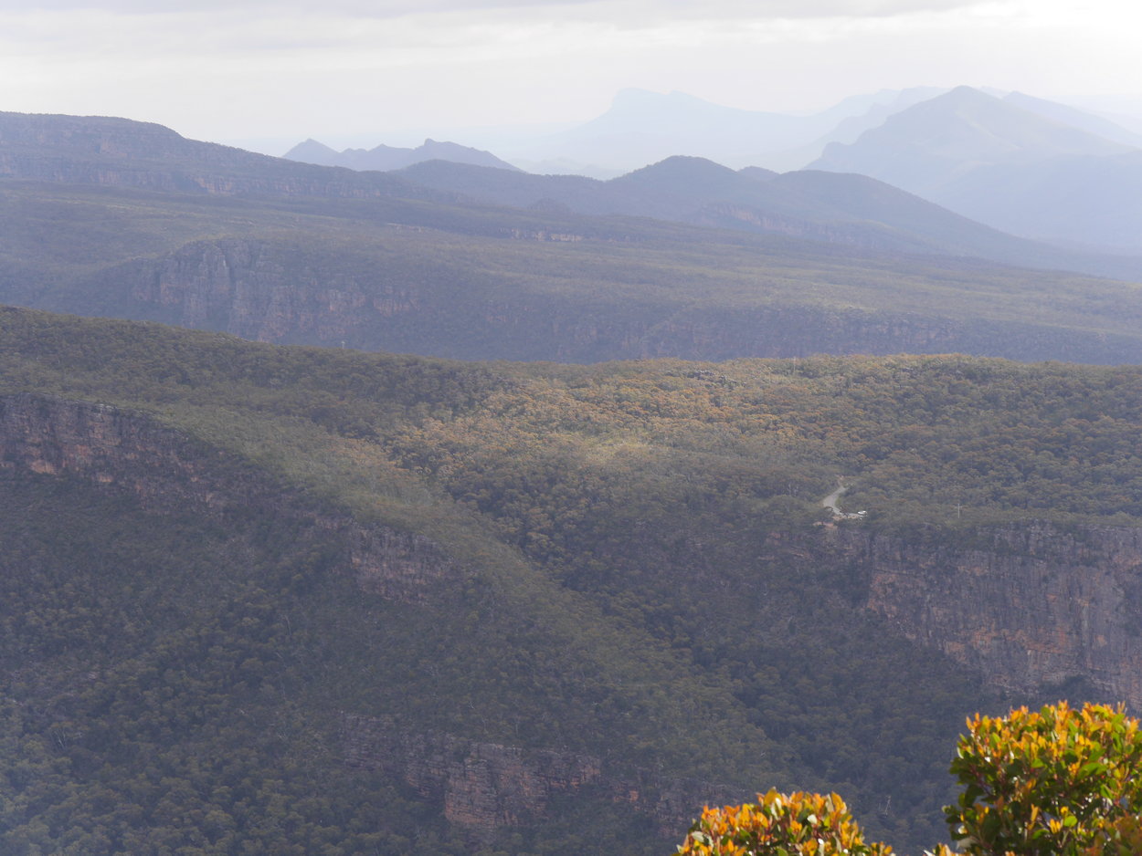
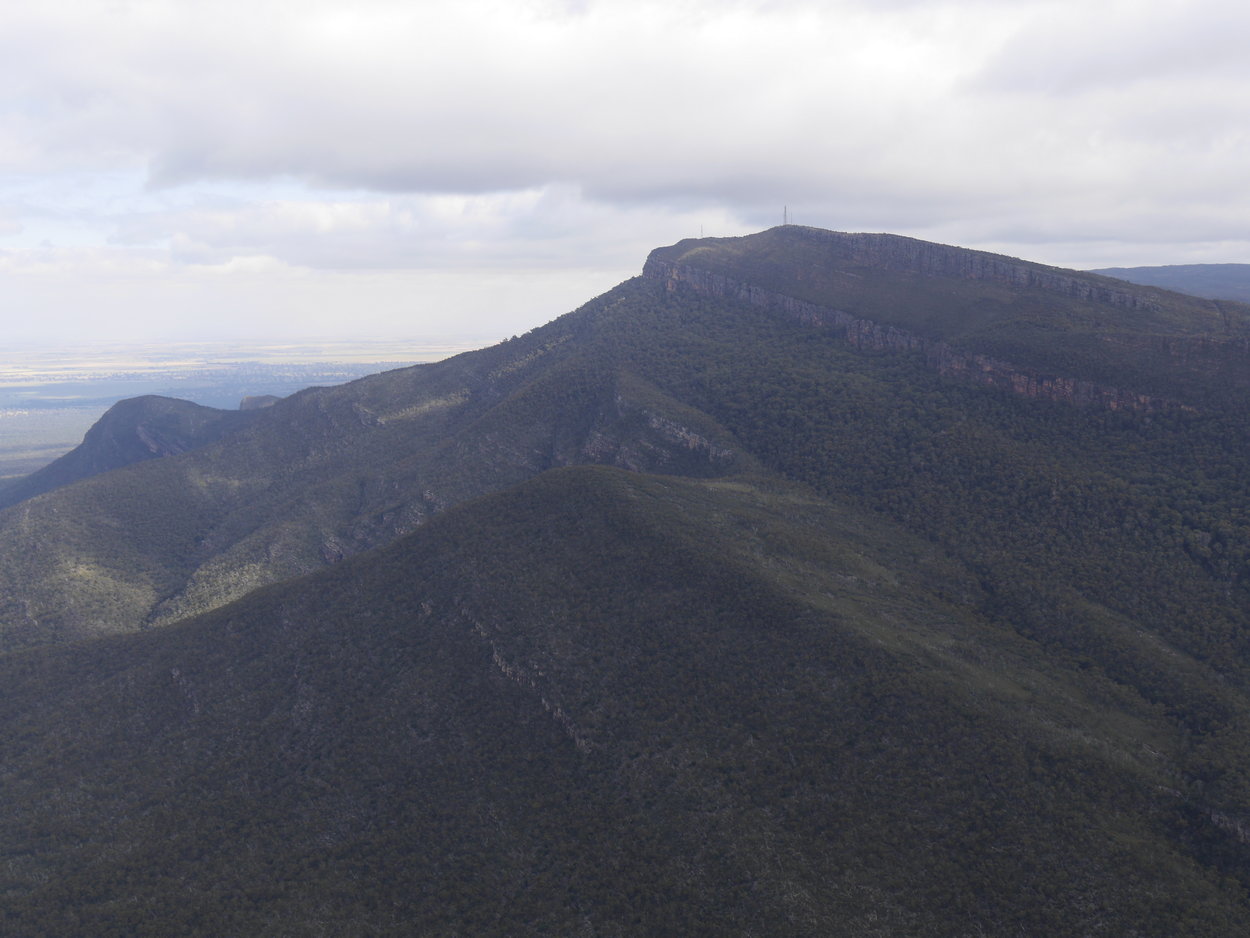
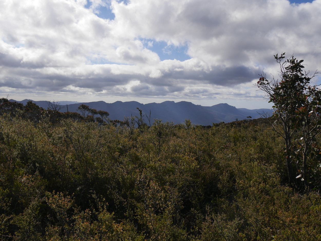
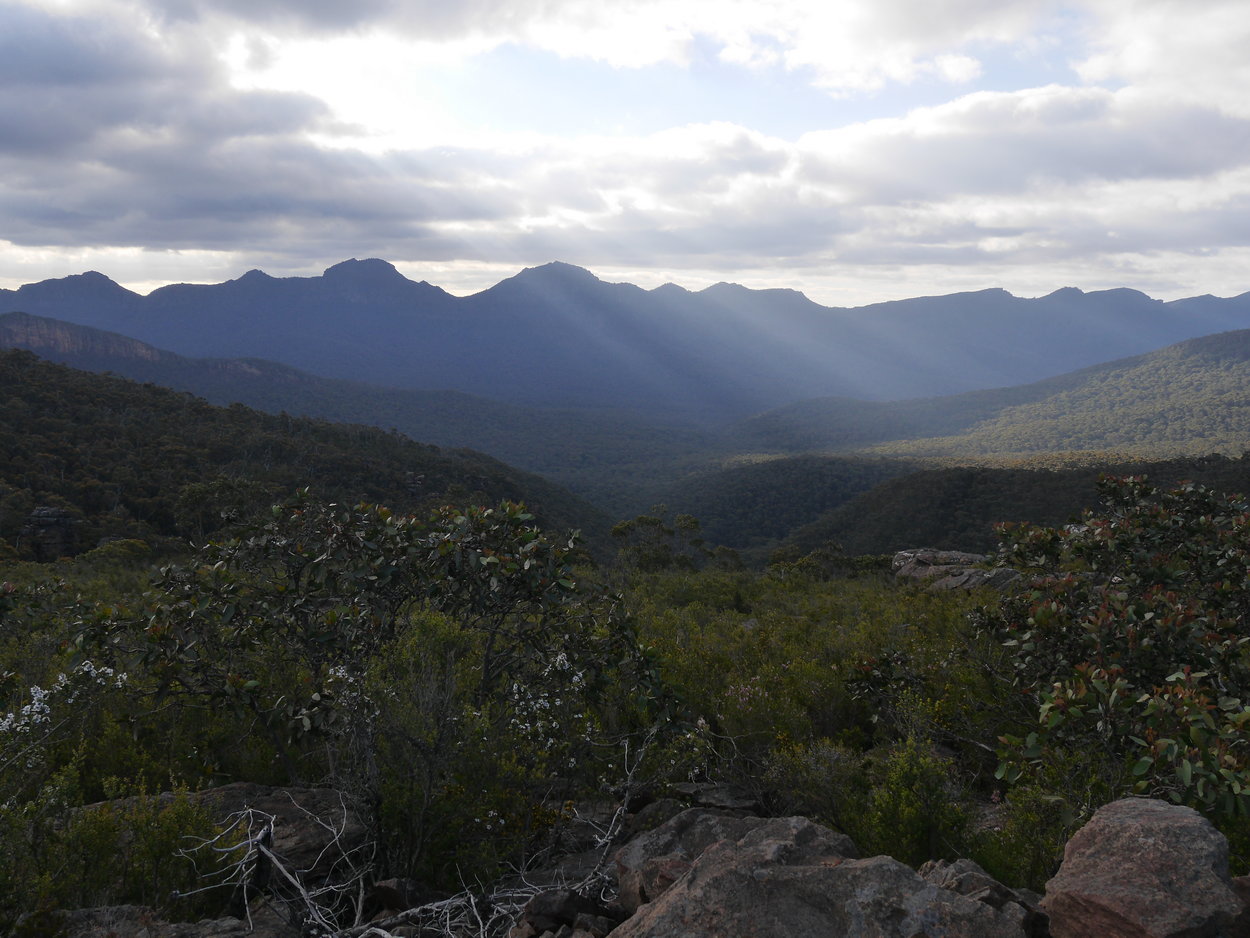
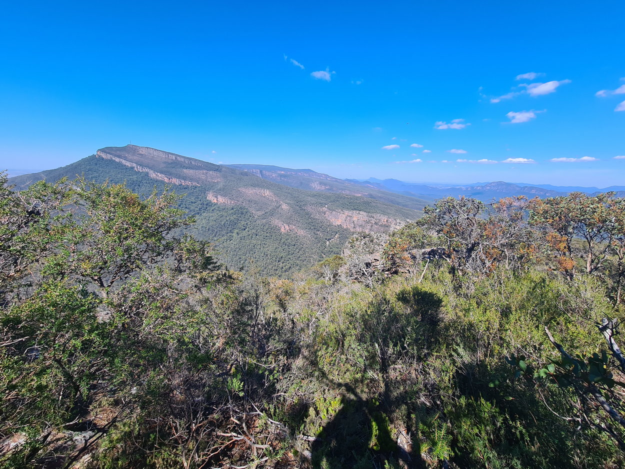
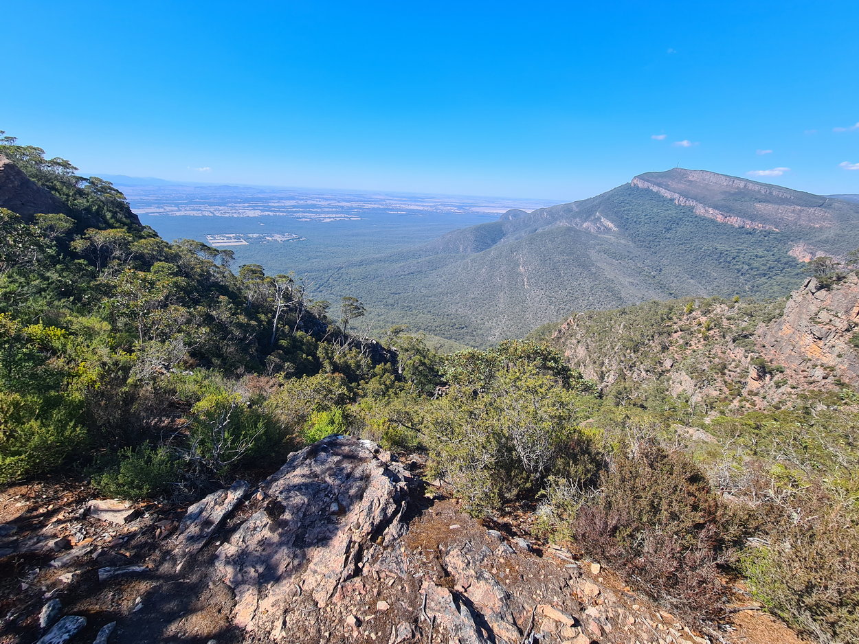
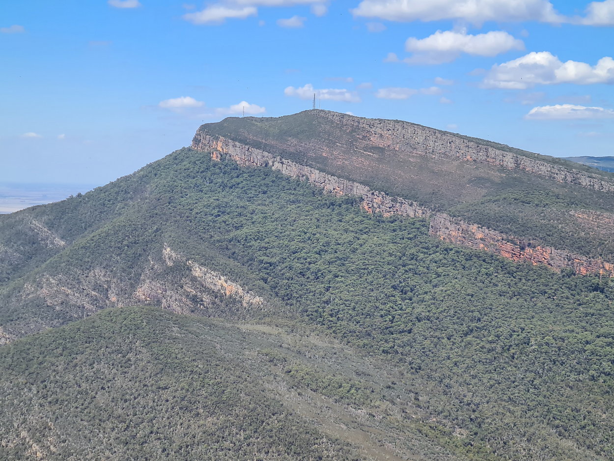
| View - looking back to the summit of Mt. William | ||
 |
 |
 |
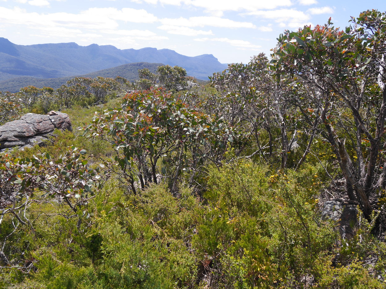
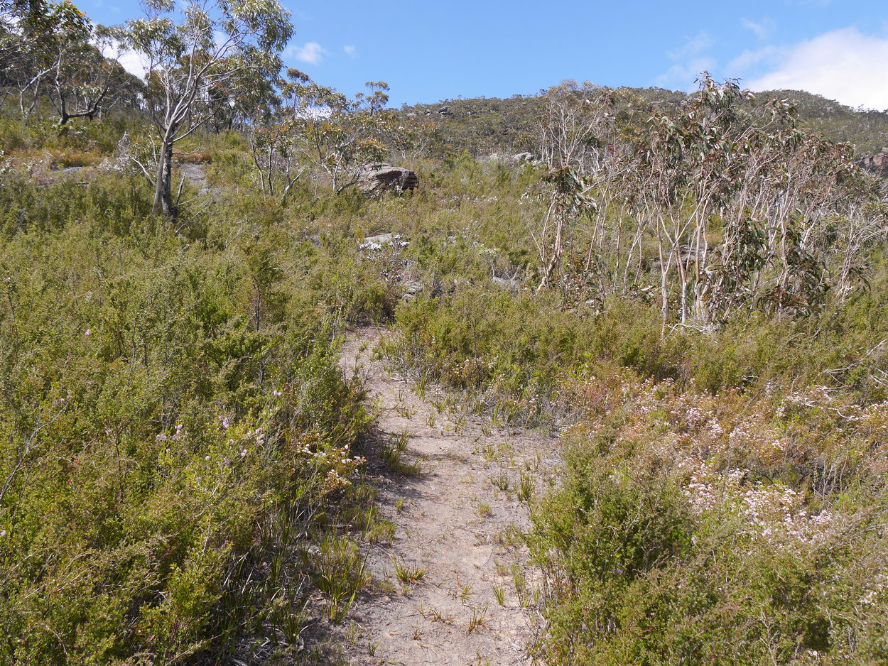
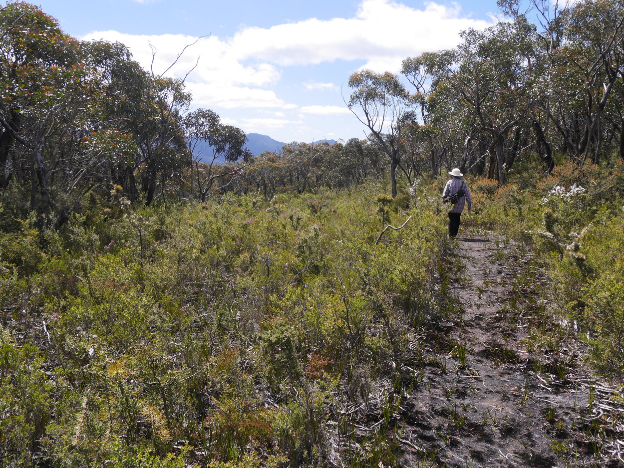
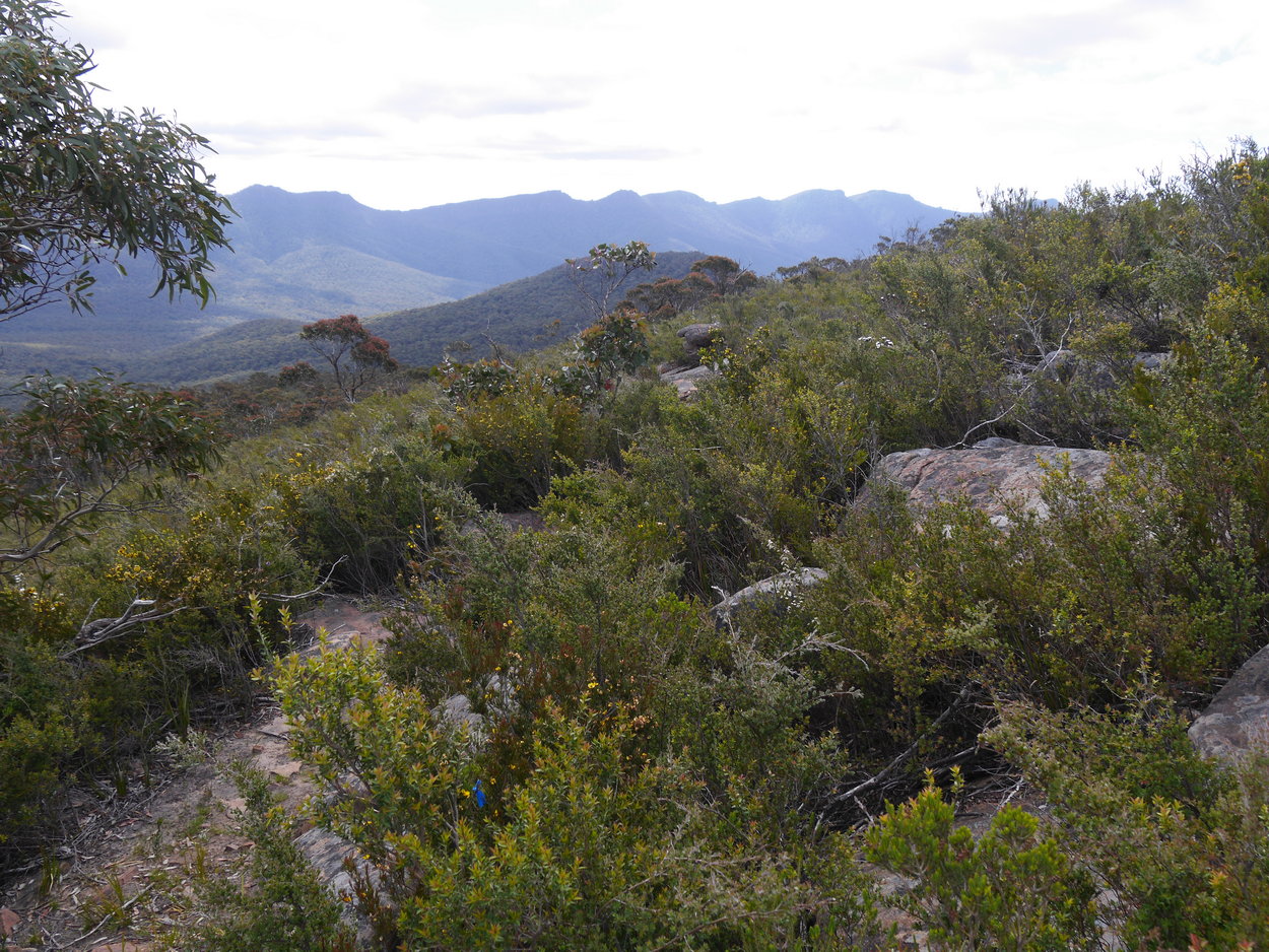
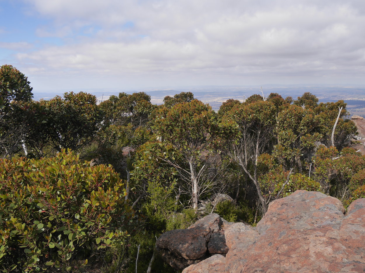
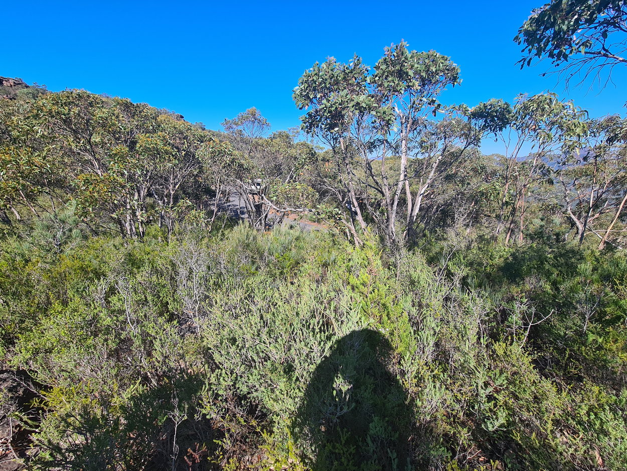
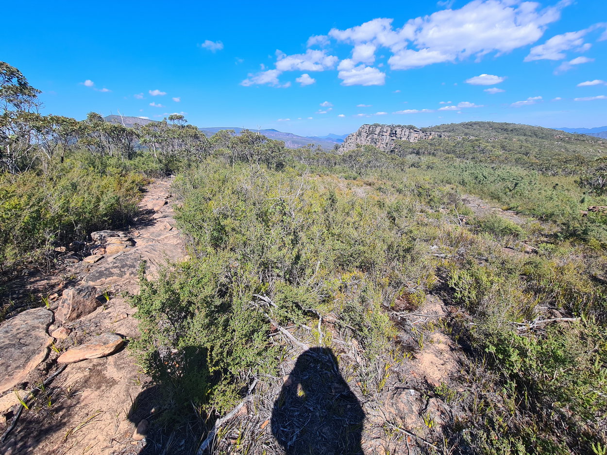
| Sandy track - easier to walk along. | ||
 |
 |
 |
 |
 |
 |
 |
 |
 |
 |
 |
 |
 |
 |
 |
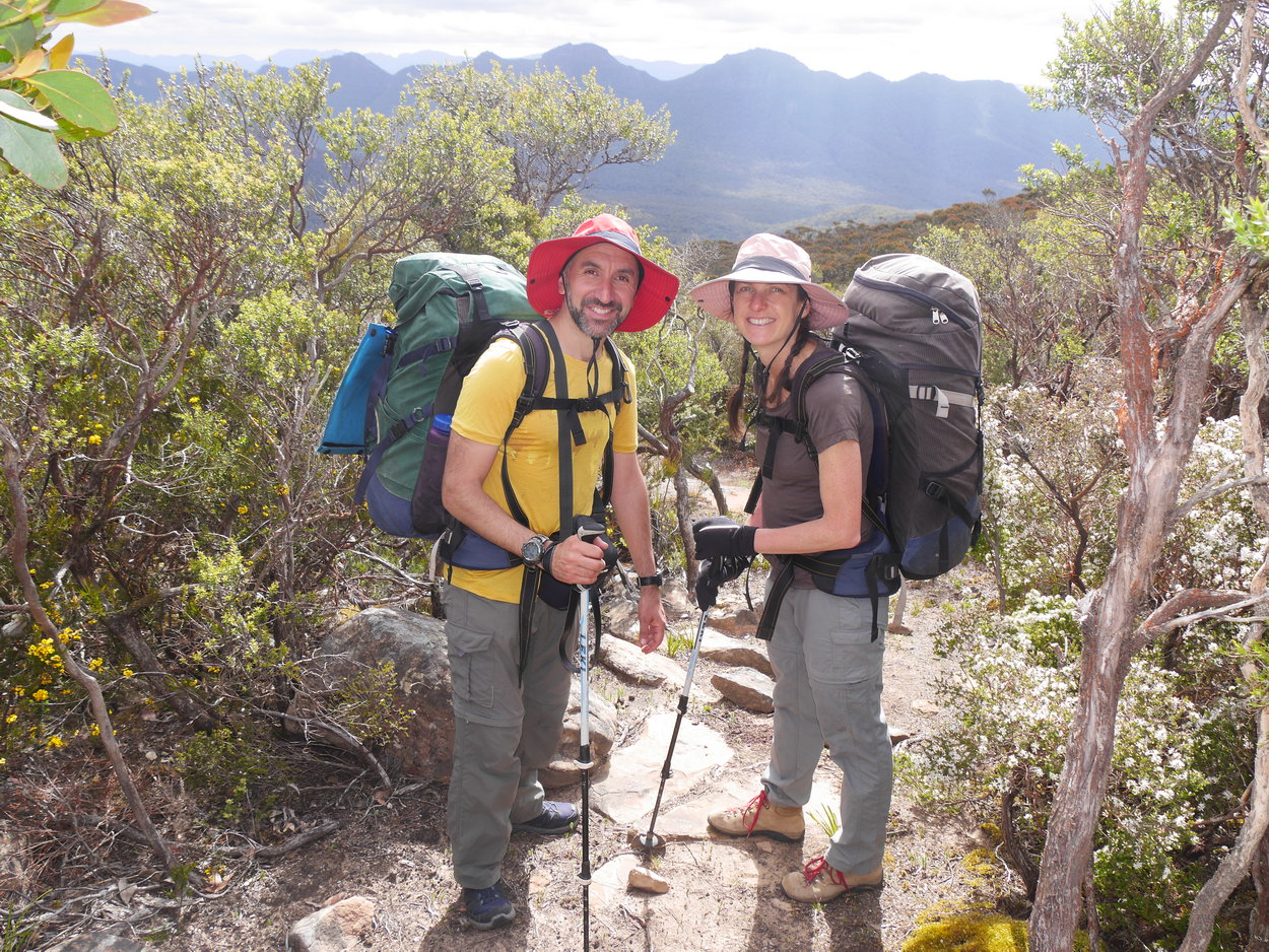
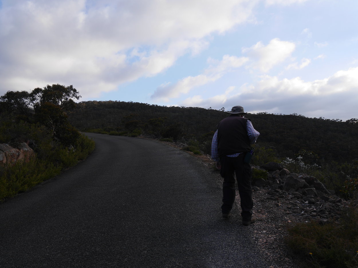
| The kids - running late but happy to be in the bush! | ||
 |
 |
 |
 |
 |
 |
 |
 |
 |
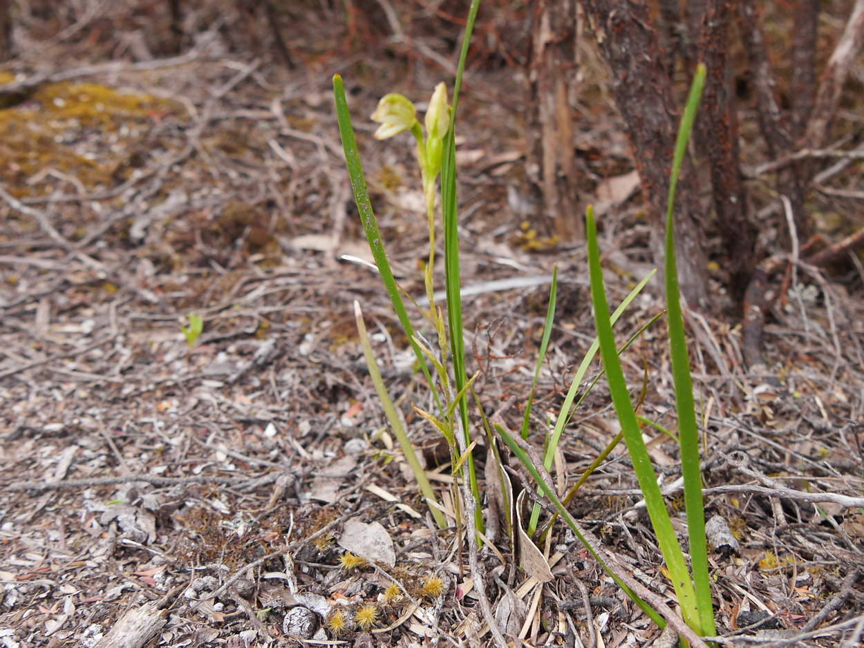
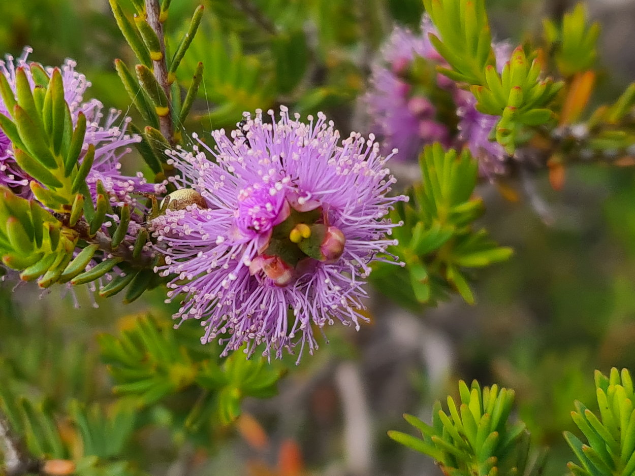
| An orchid - needed that macro lens! | ||
 |
 |
 |
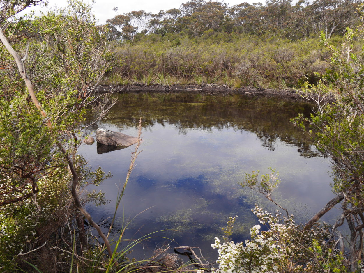
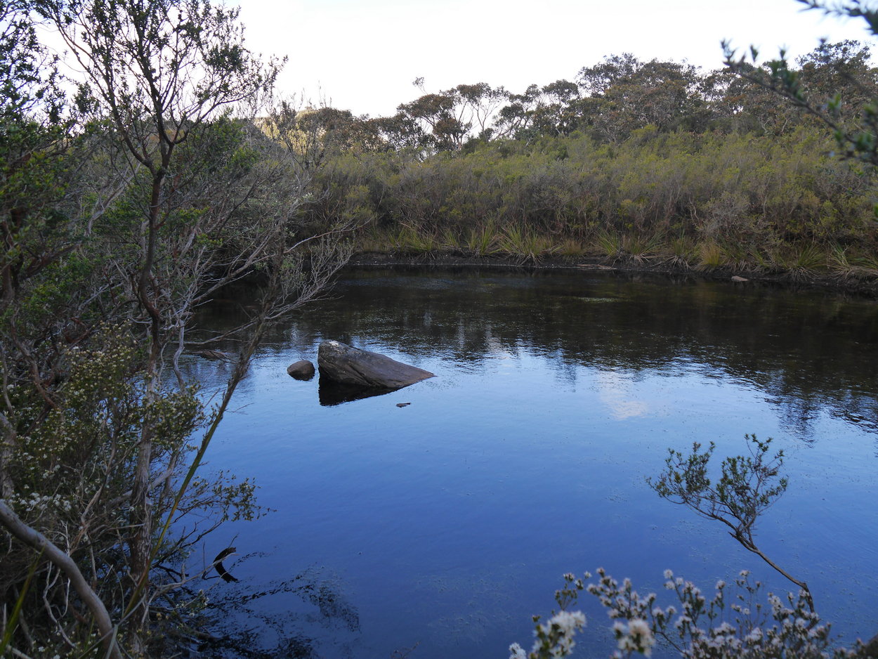
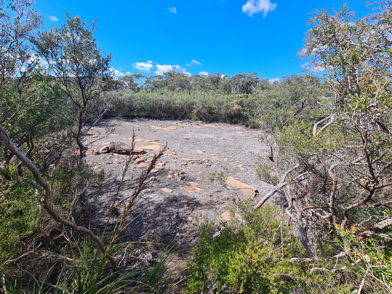
| Interesting - a nice pond | ||
 |
 |
 |
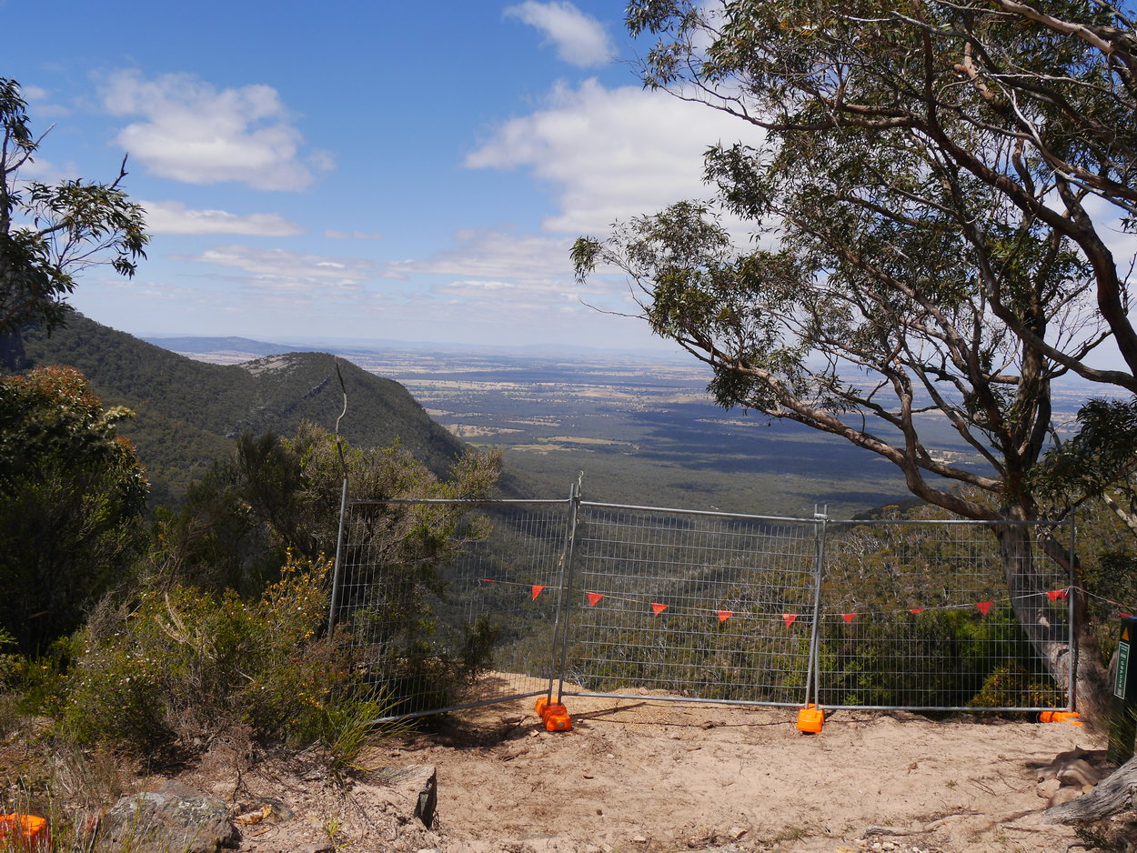
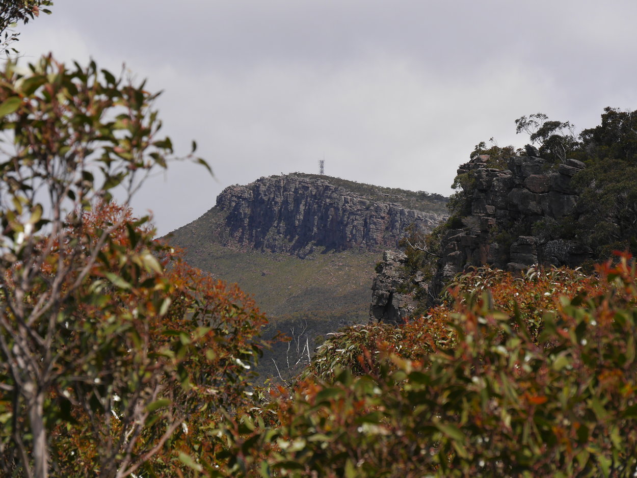
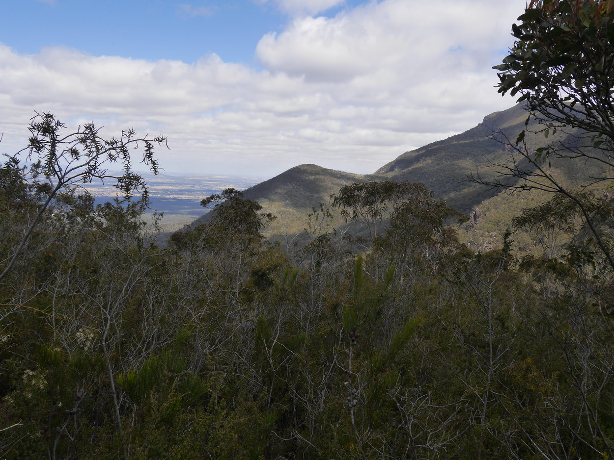
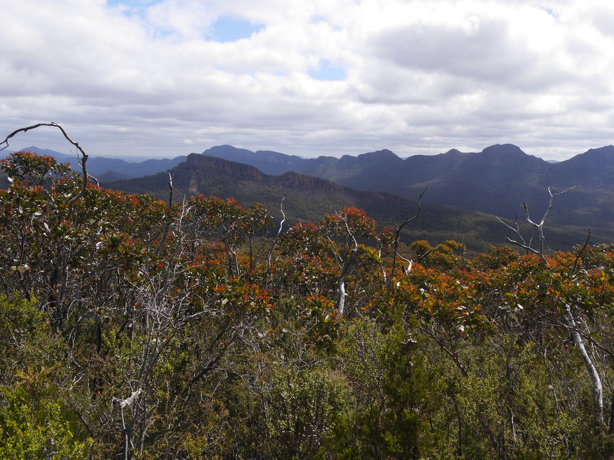
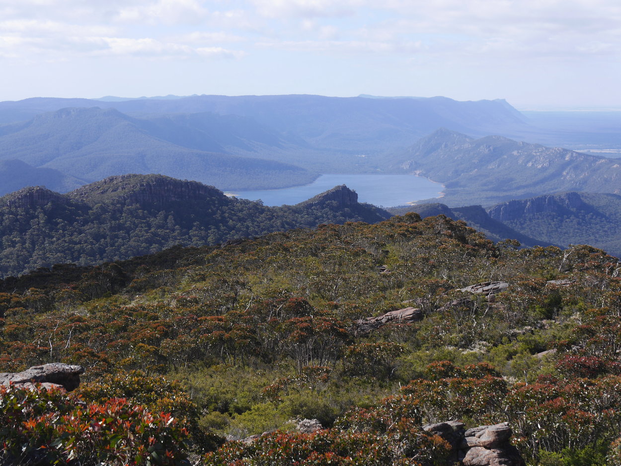
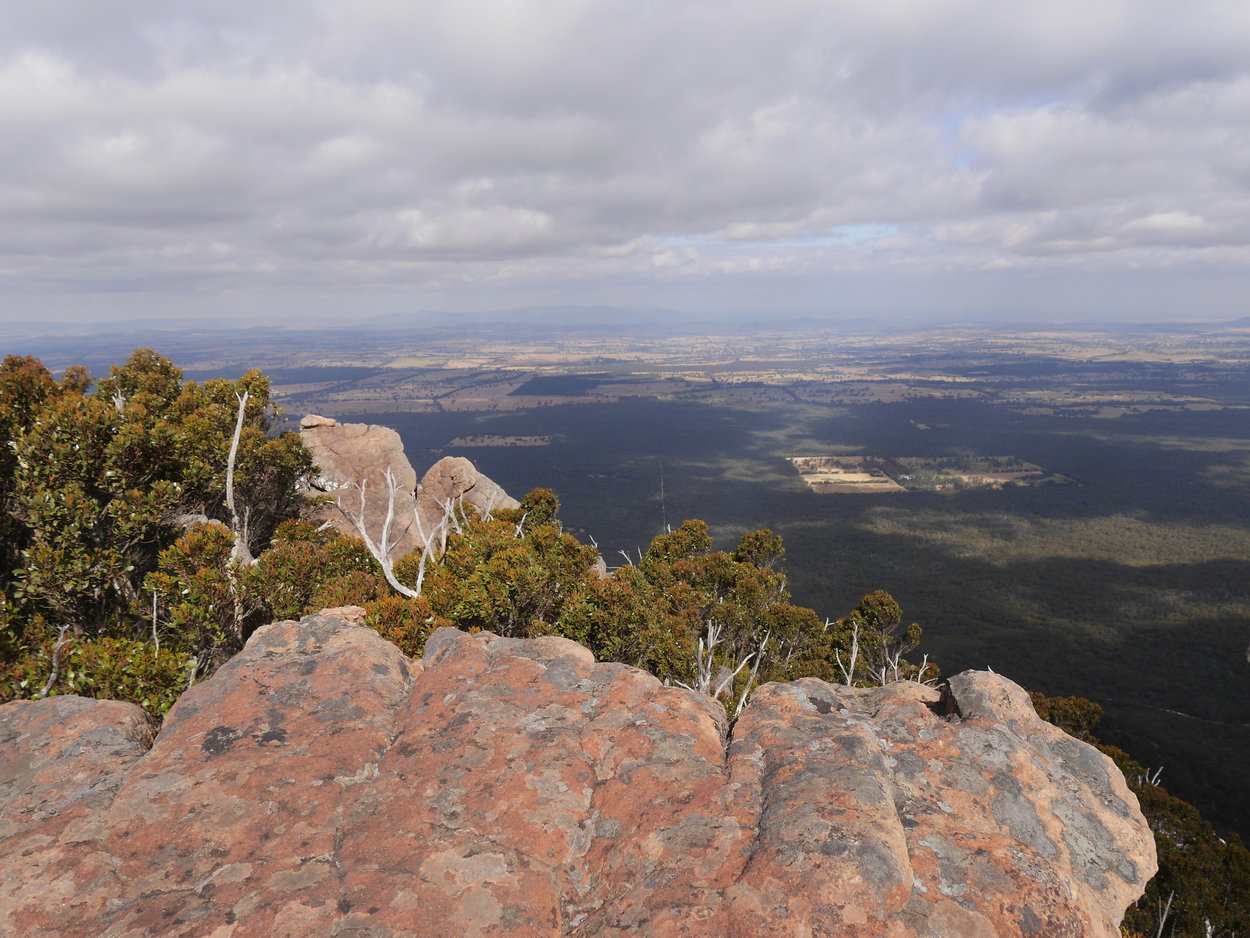
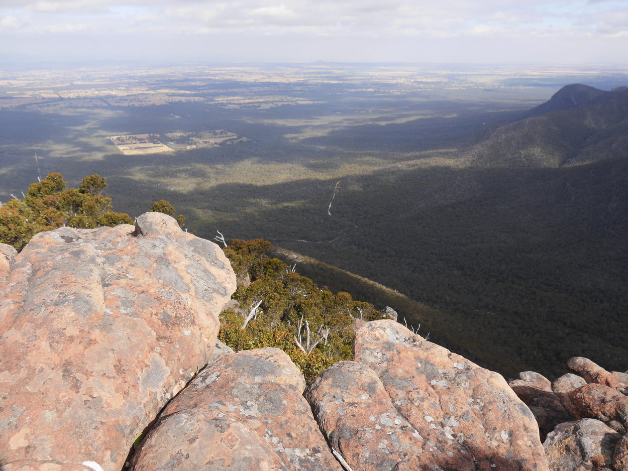
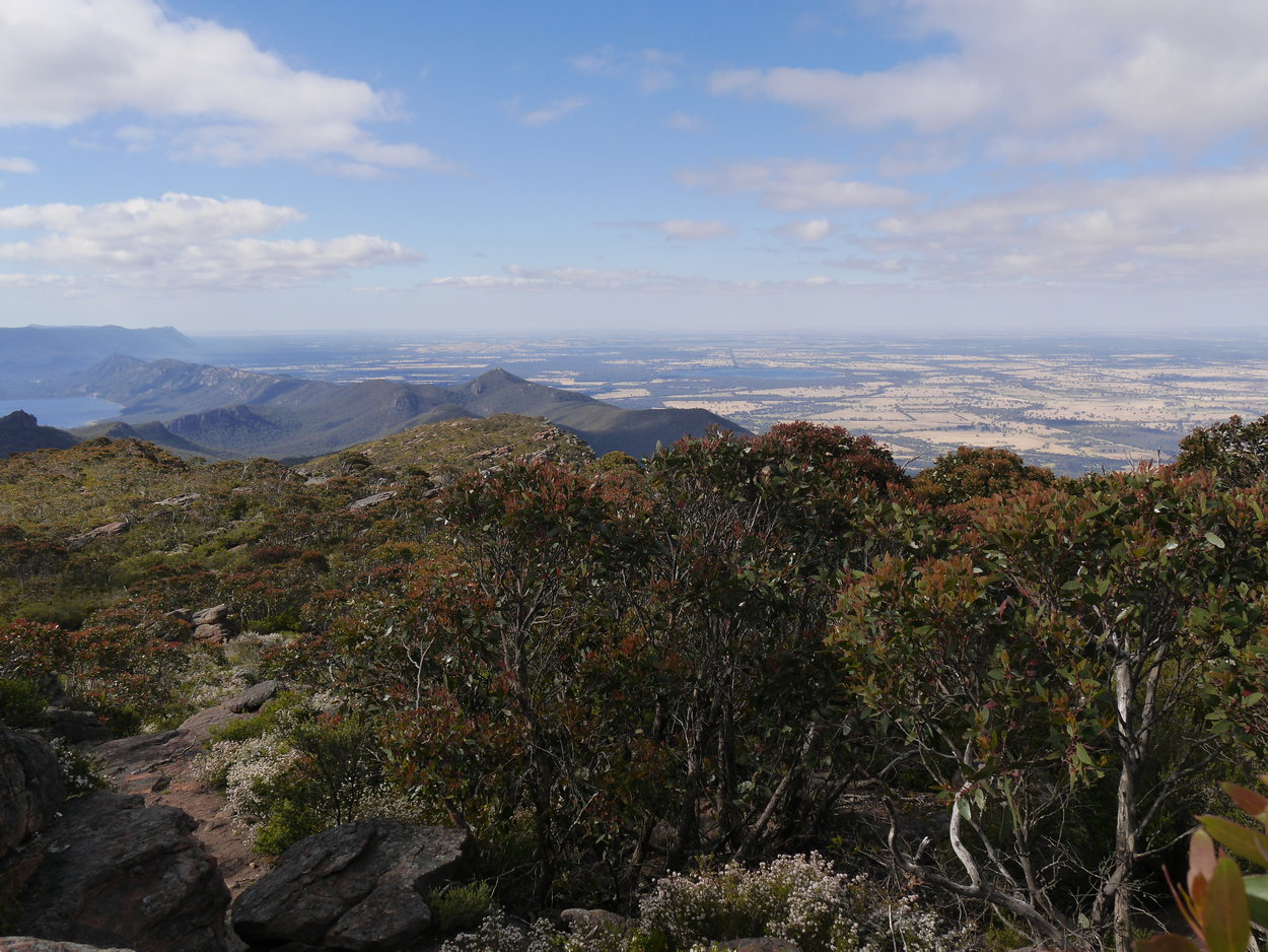
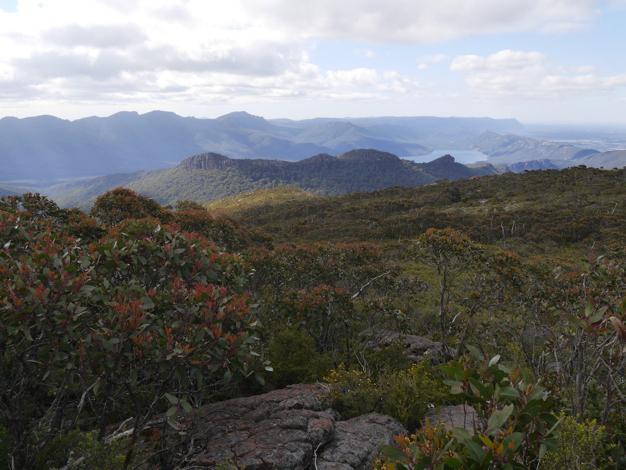
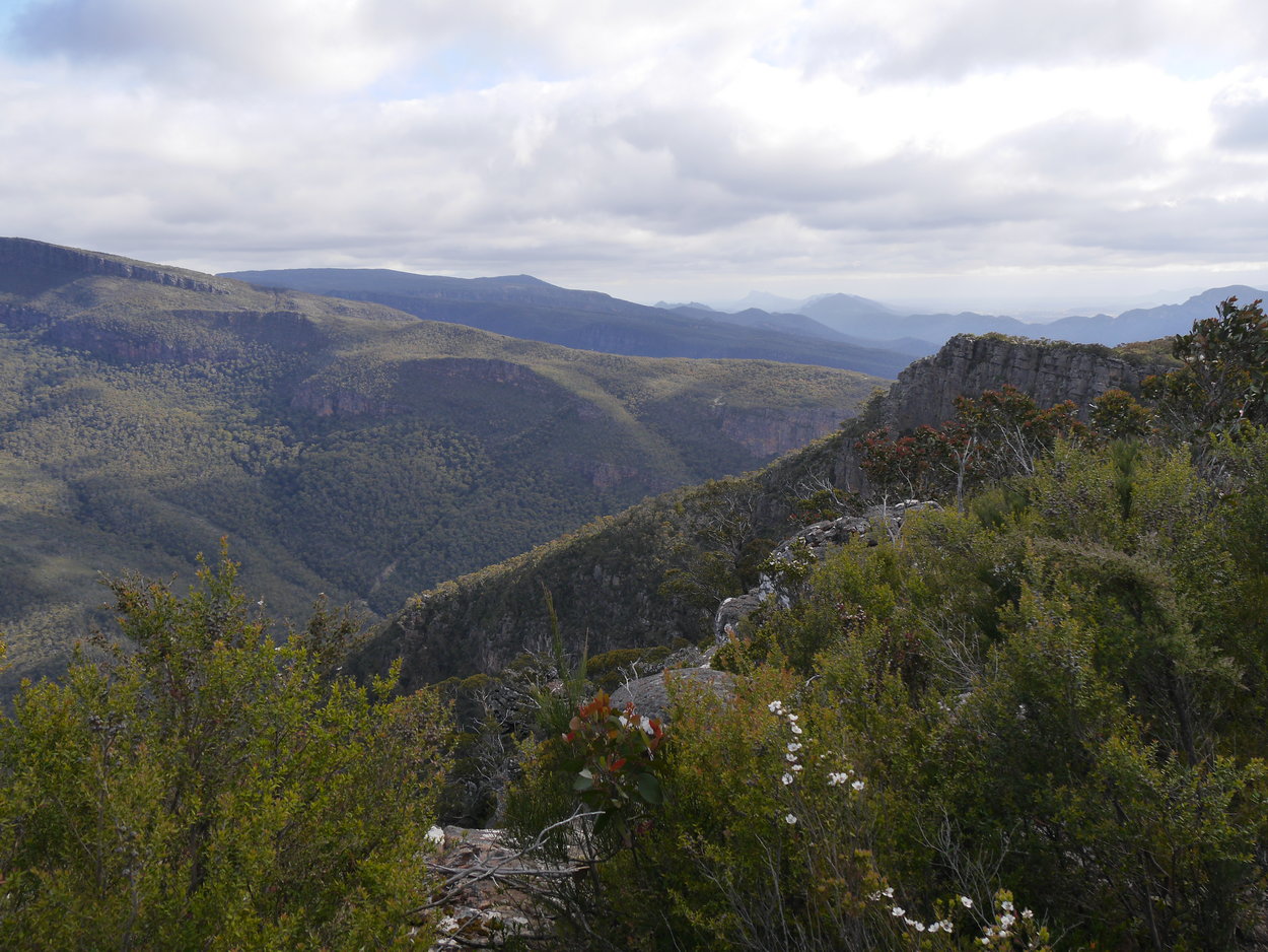
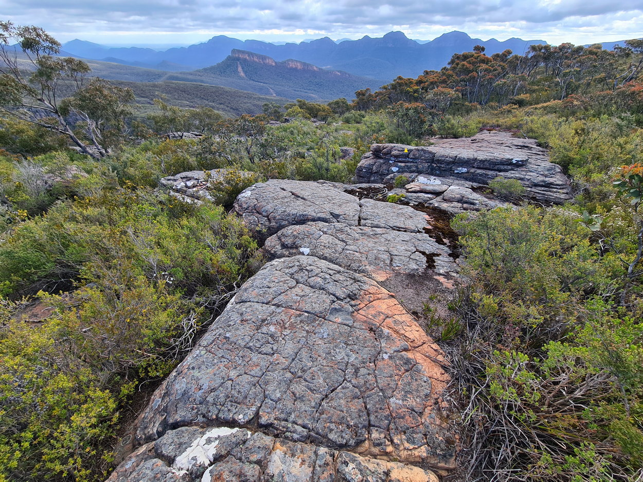
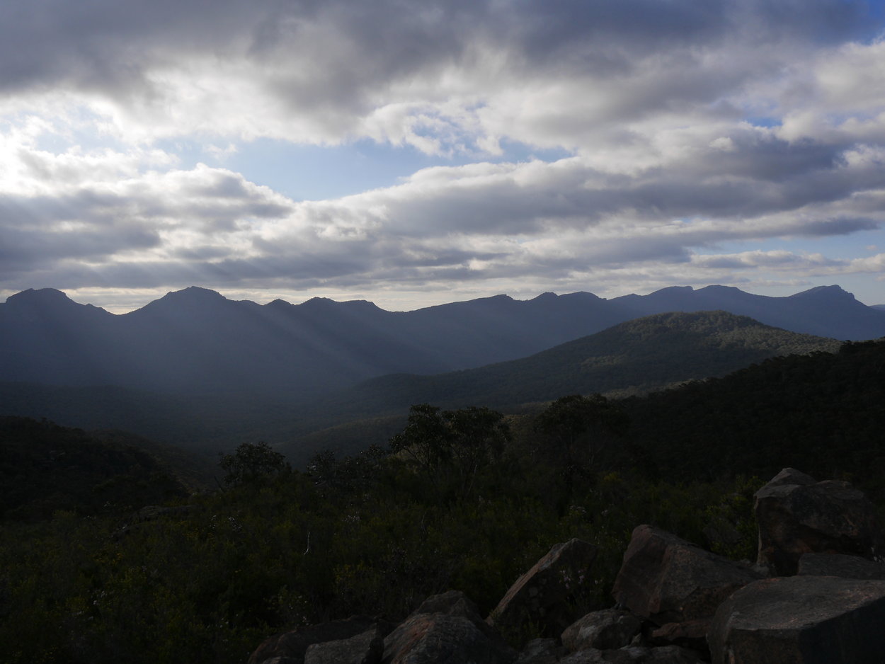
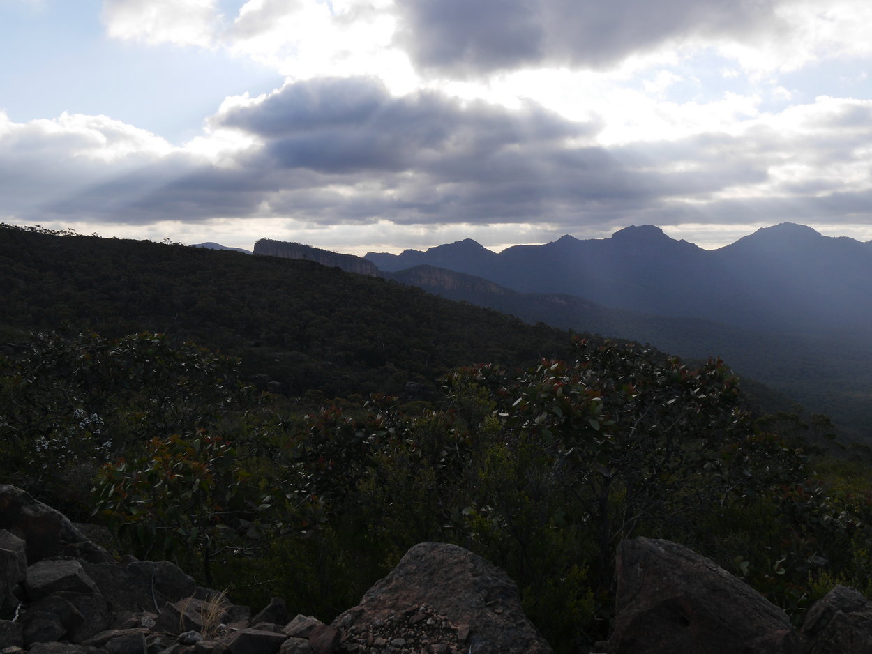
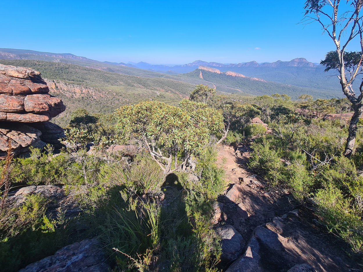
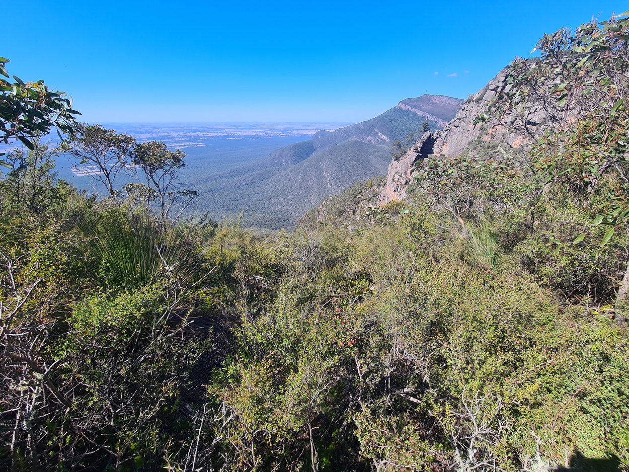
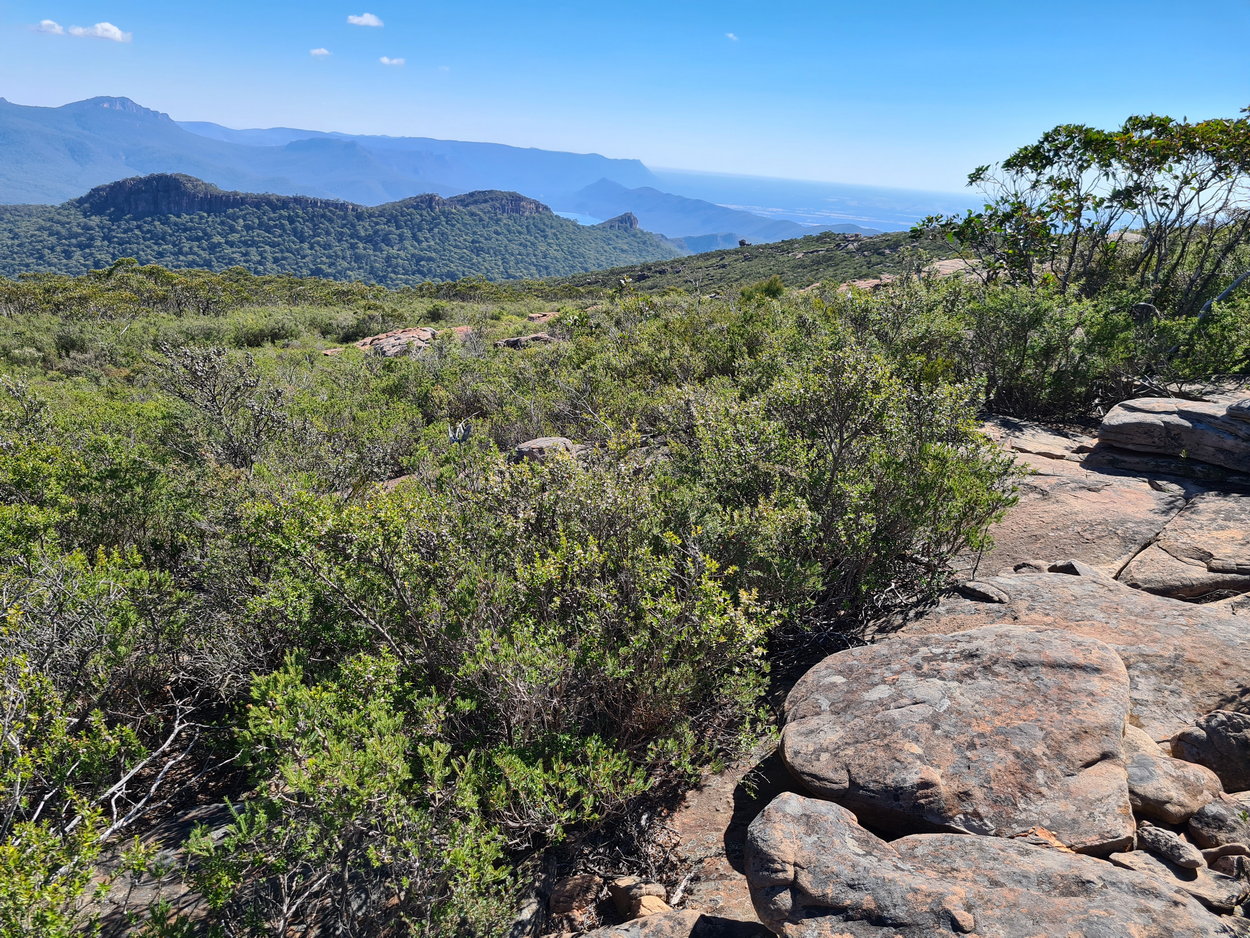
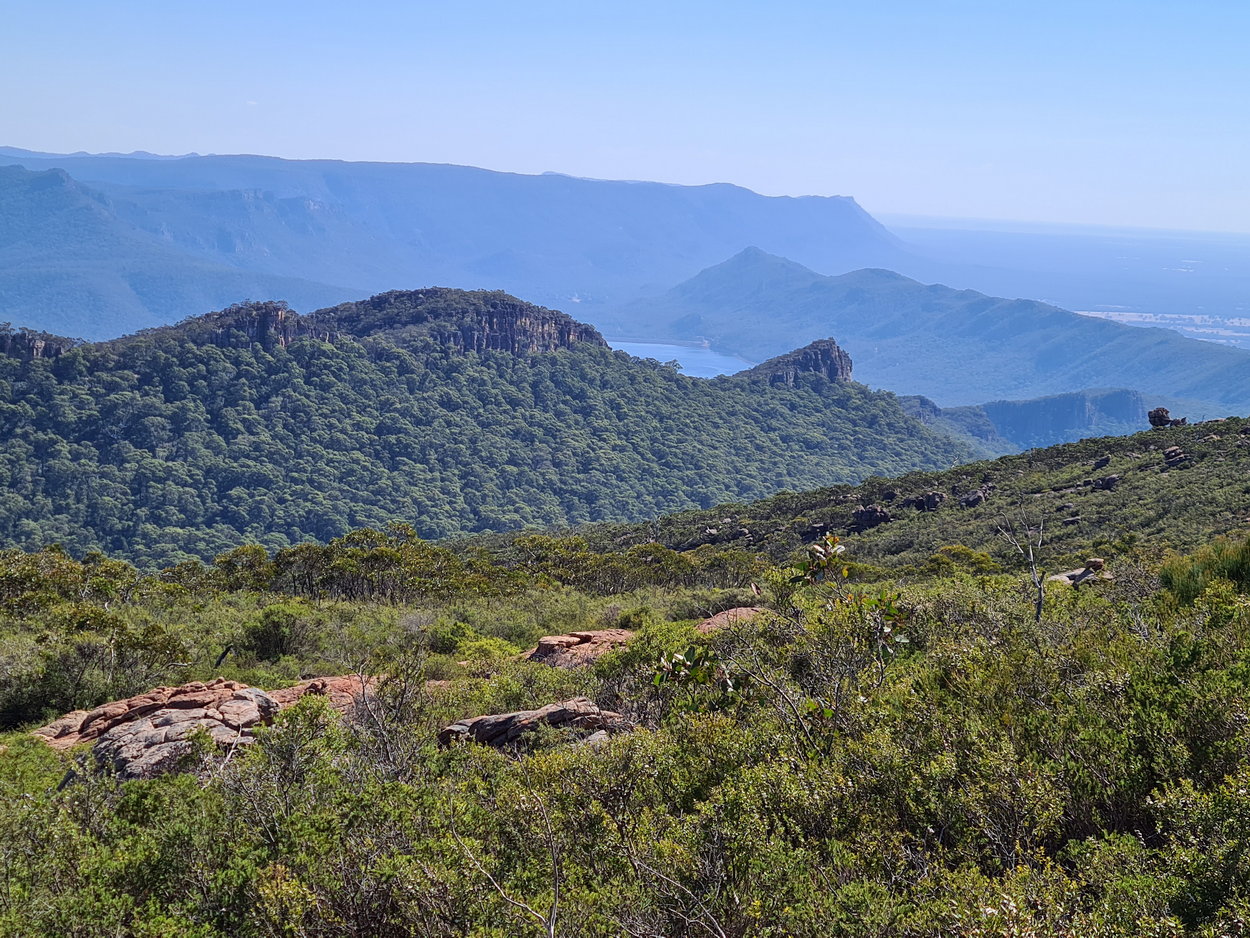
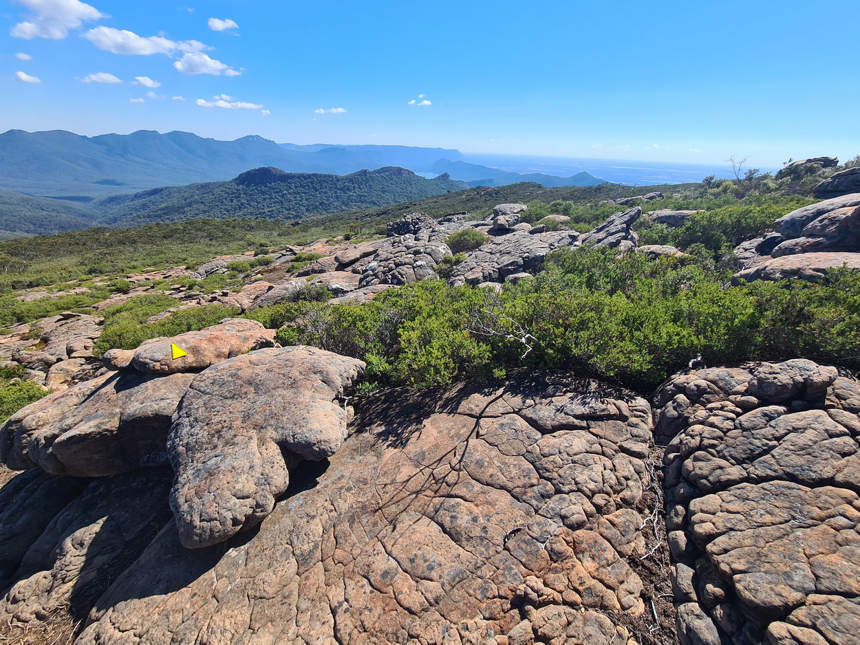
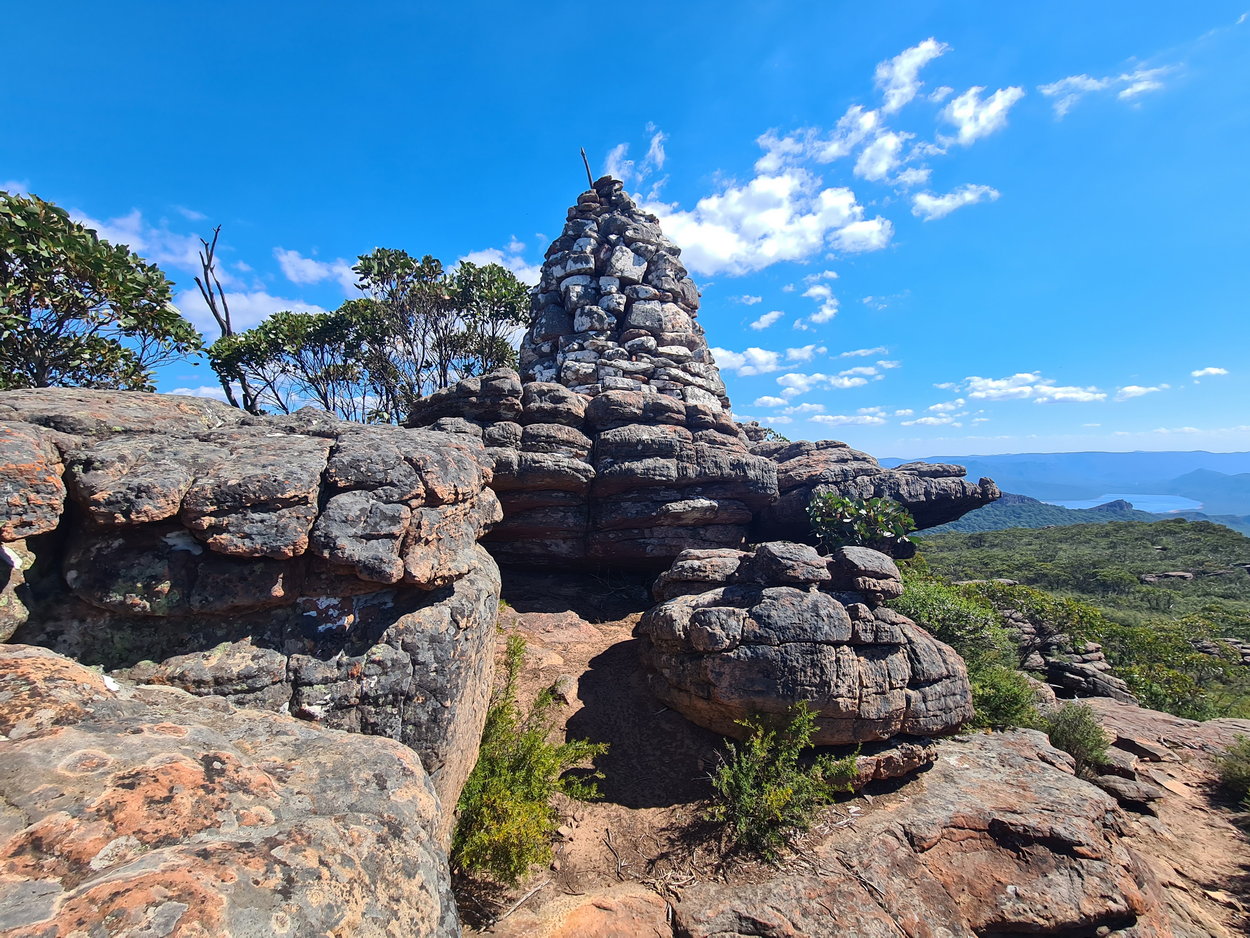
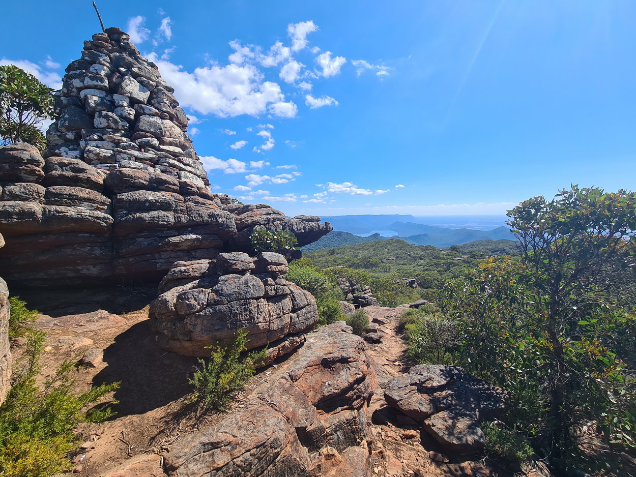
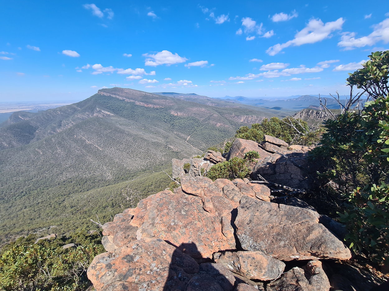
| View - Mt William | The cairn at Redmans Bluff | View -Lake Bellfield from the Bluff. |
 |
 |
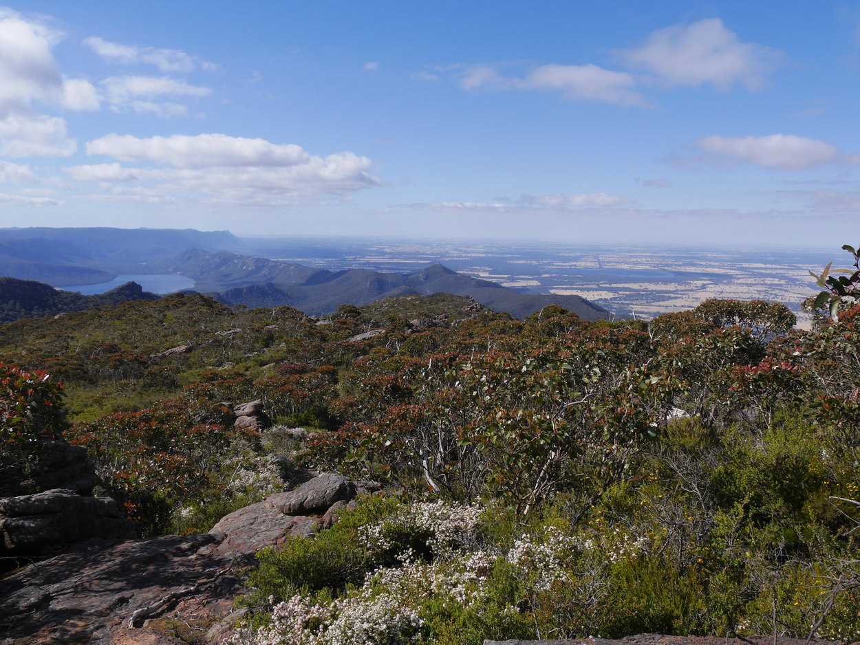 |
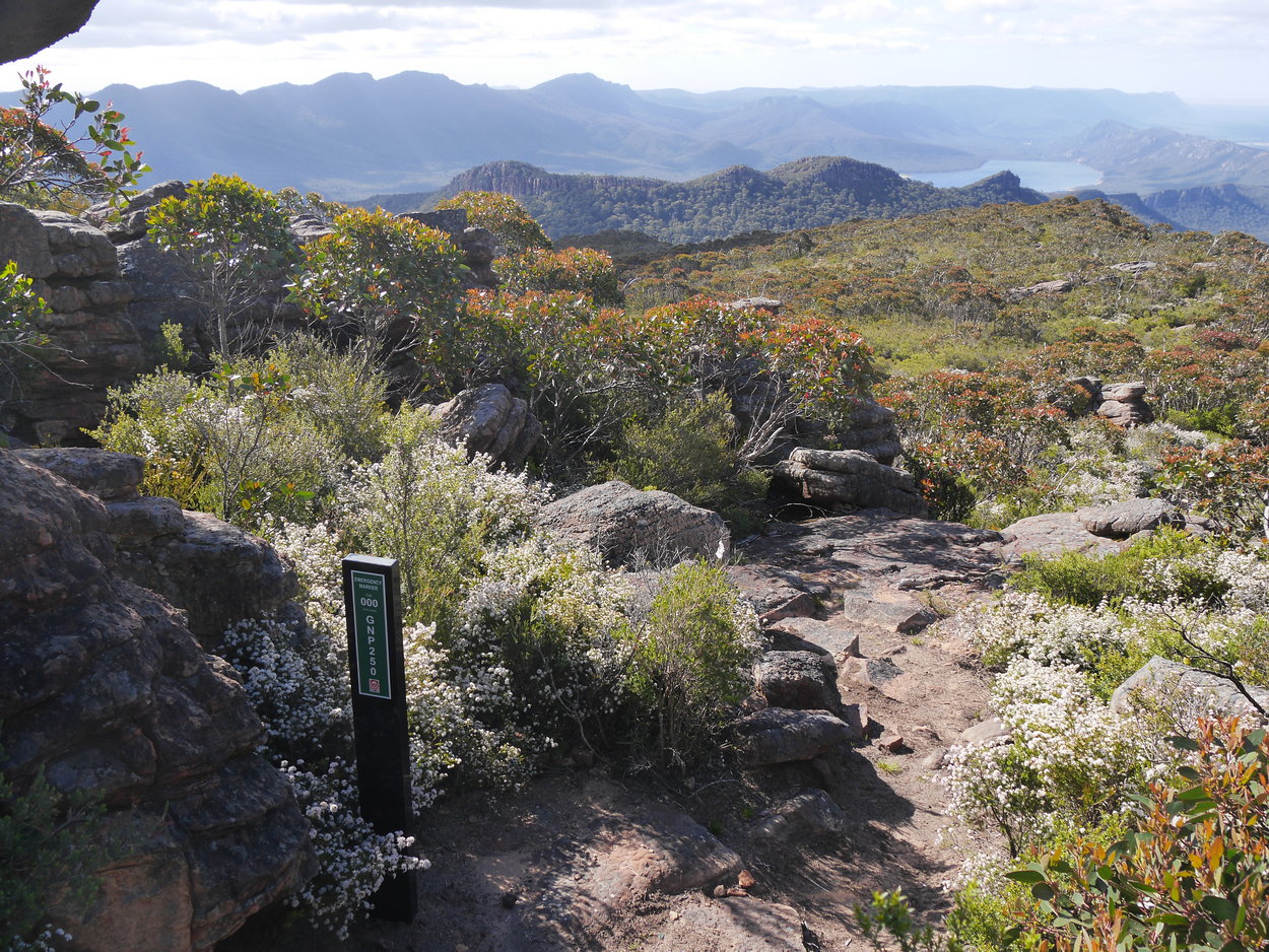
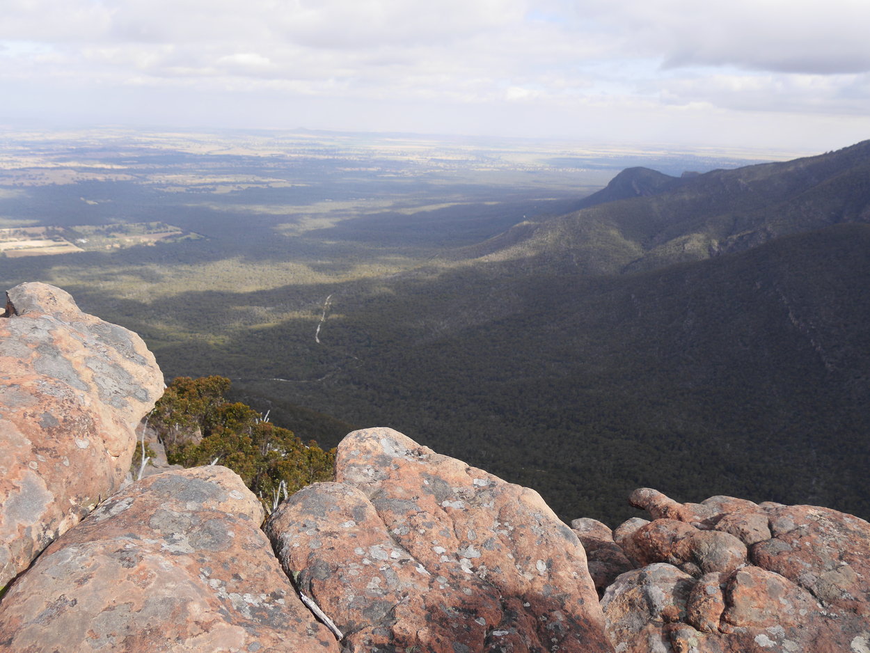
| View -Lake Bellfield. | Emergency point | View -Lake Bellfield. |
 |
 |
 |
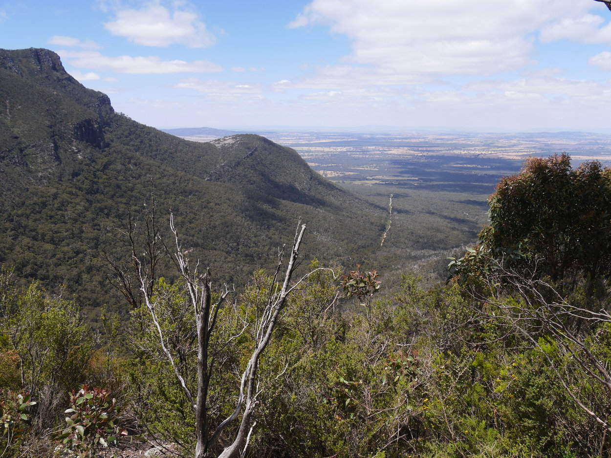
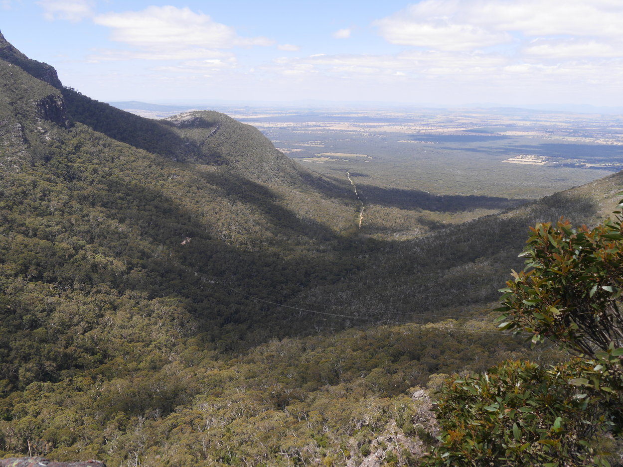
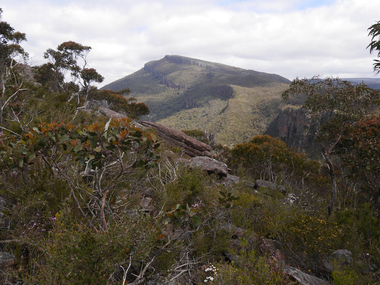
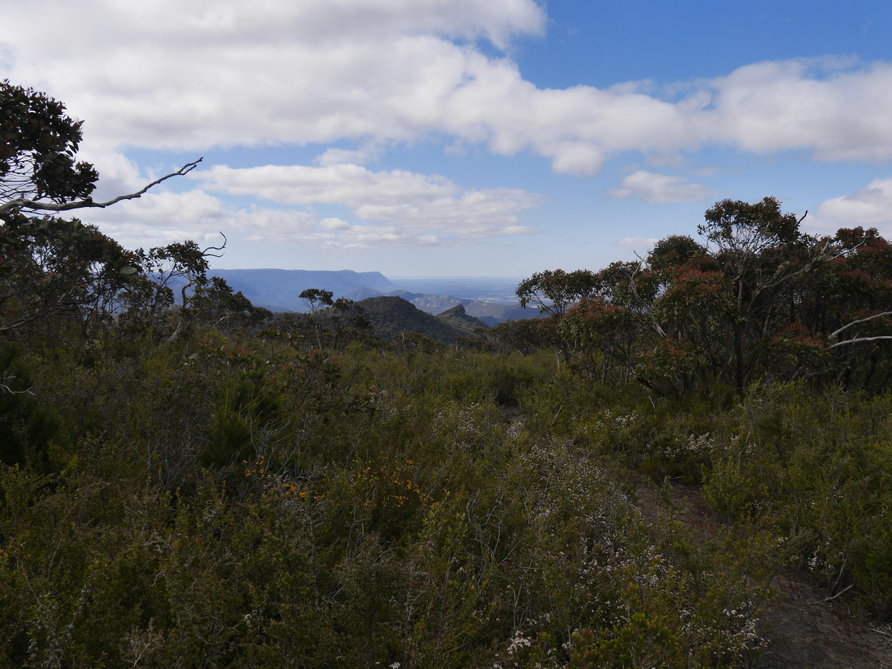
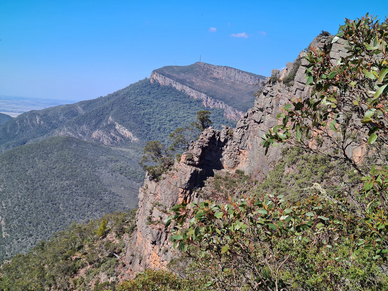
| View - Mt. William a long way away! | ||
 |
 |
 |
 |
 |
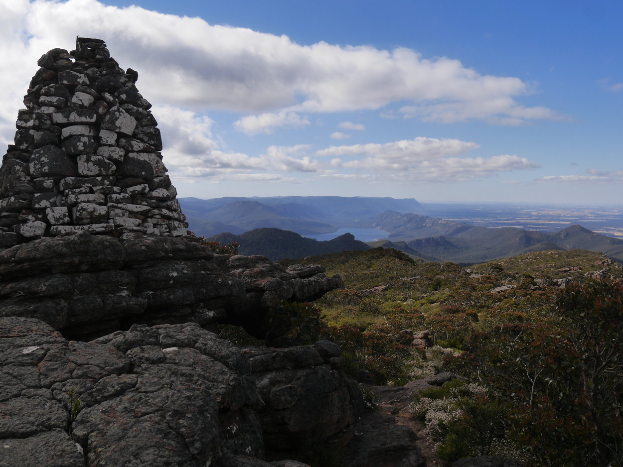 |
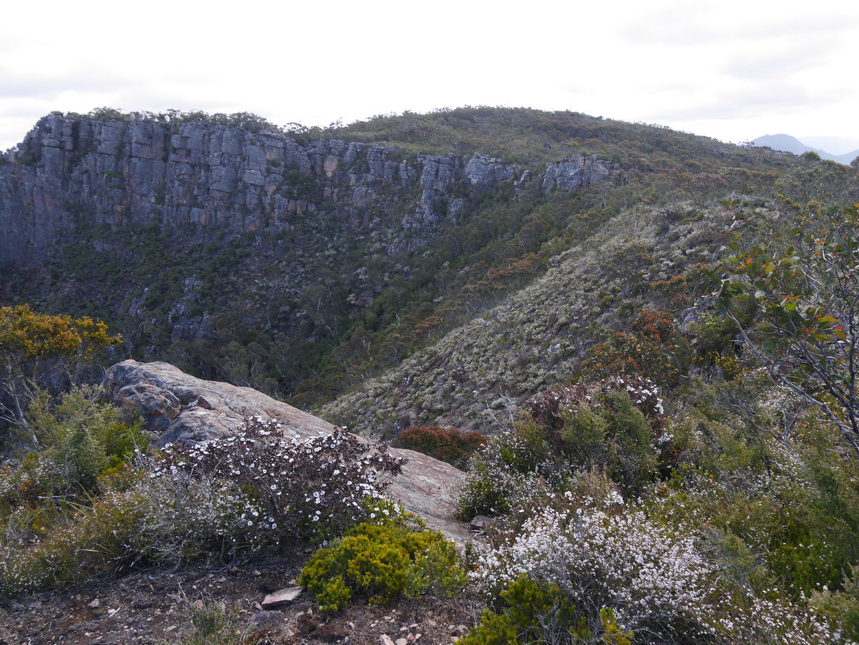
| The cairn at Redmans Bluff with Lake Bellfield in view. | ||
 |
 |
 |
 |
 |
 |
| Heading back now to the car. | ||
 |
 |
 |
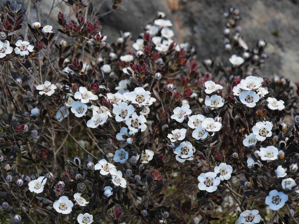
| Not much flowering, but these were nice. | ||
 |
 |
 |
| Back past the pond. | Another lovely flower | |
 |
 |
 |
| Slowly Slowly I go! | ||
 |
 |
 |
| Jumping down to the road -we're late | Jumping down to the road | On the road |
 |
 |
 |
| Heading up to the car. | ||
 |
 |
 |
 |
 At At |
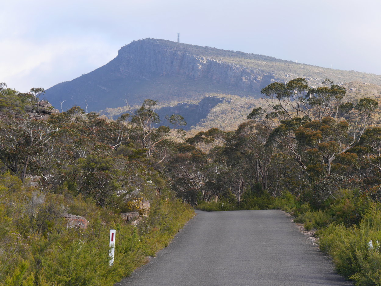 |
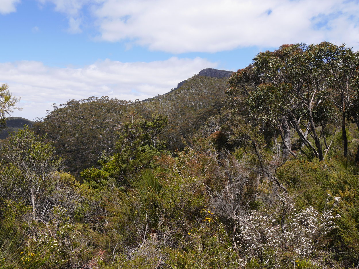
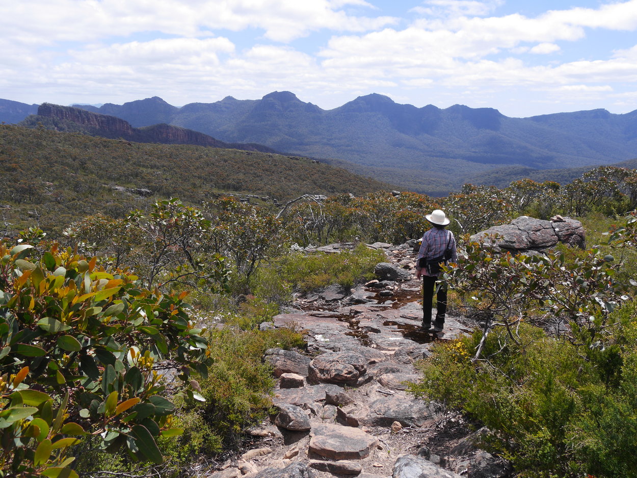
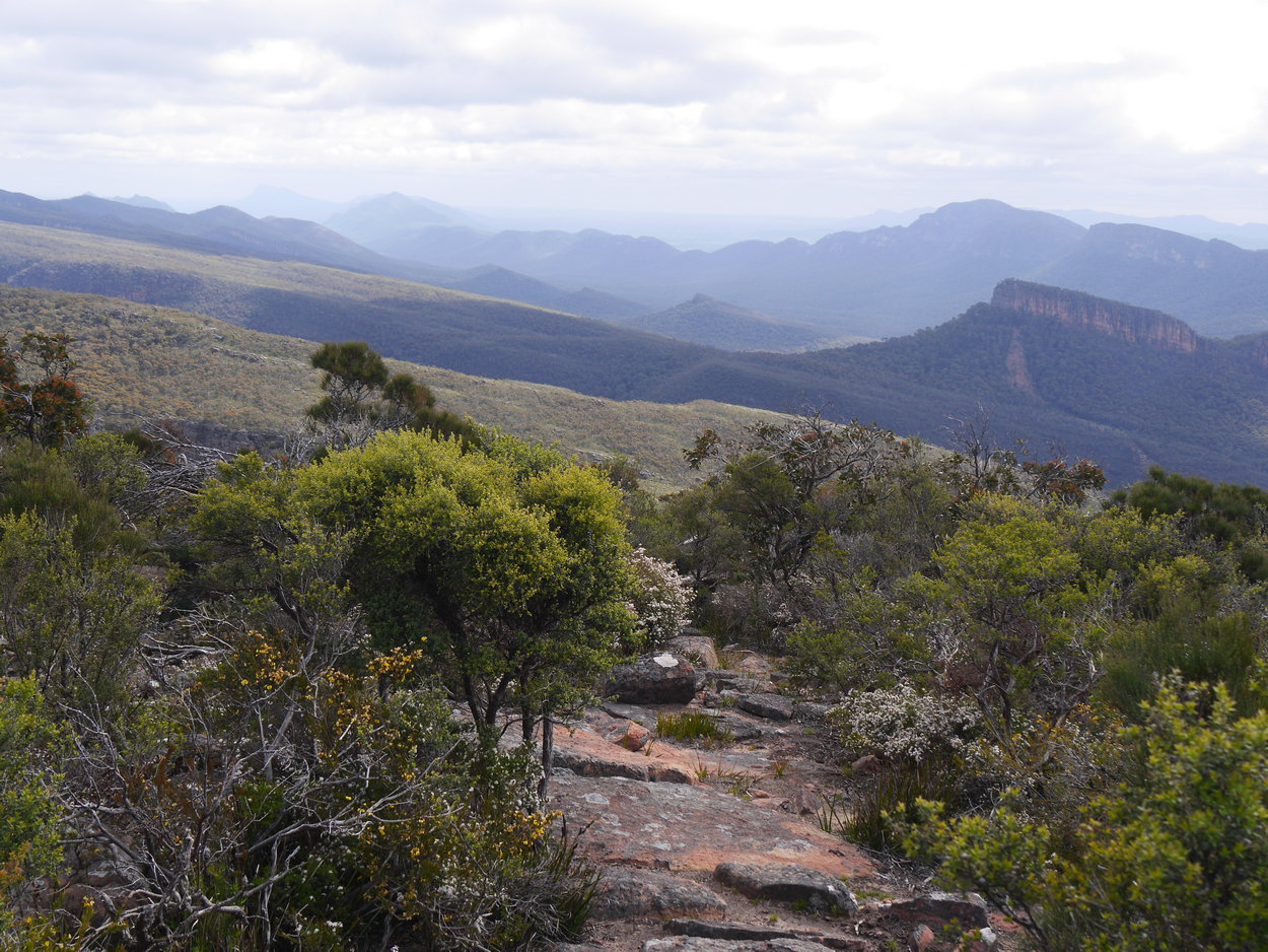
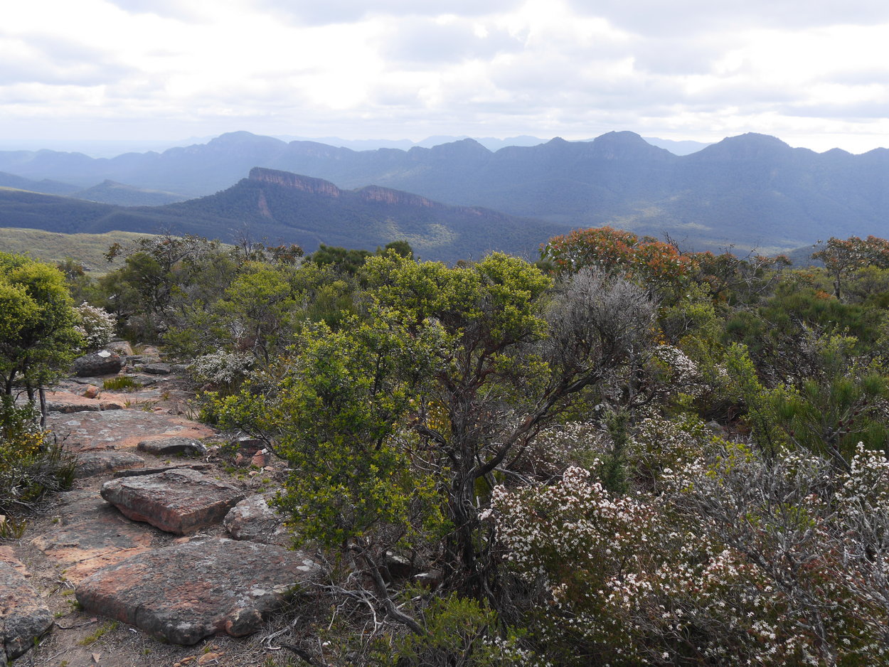
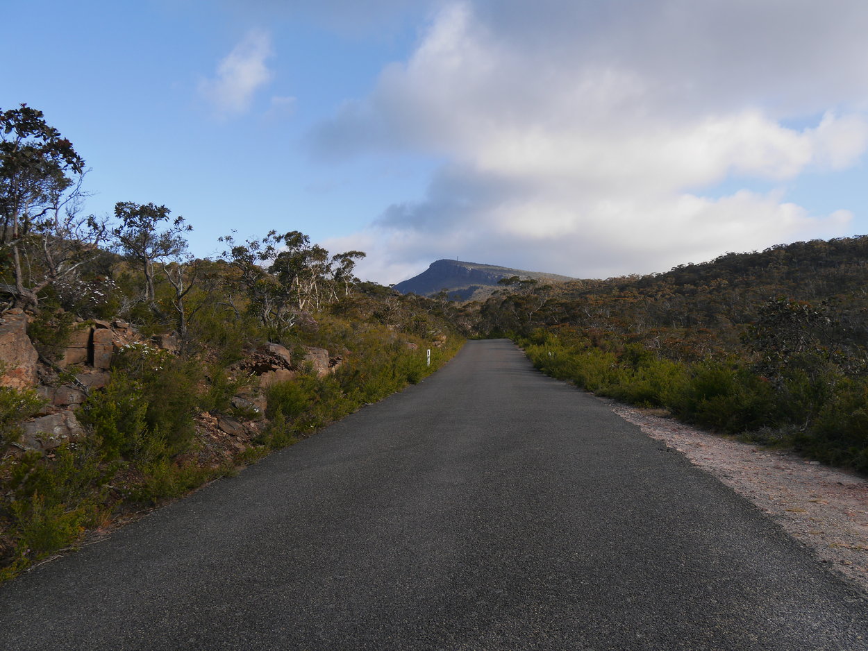
| View of Mt. William ahead. | View of Mt. William ahead. | |
|
Part 2:- A few months later we did this walk again. This time starting at the point where the track almost meets the road, as we knew where this point was, thus cutting out around 2 km of track. Although still a hard climb up to the cairn it was much closer and thus a bit easier to do. I've add below some extra photos of the walk below. |
||
 |
 |
 |
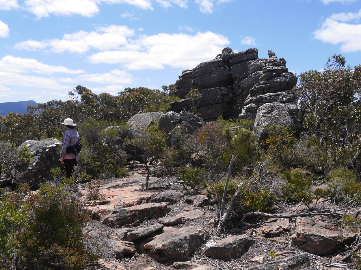
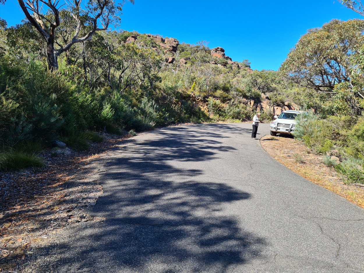
| New starting point. | Went up here, but realised later that we should've been some 20m downhill. | Redman Bluff |
 |
 |
 |
 |
 |
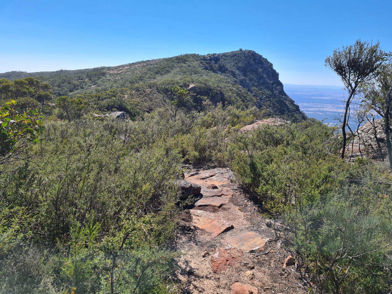 |
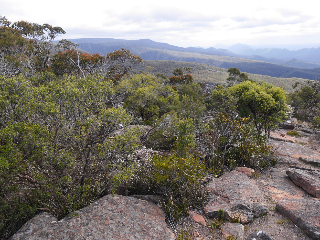
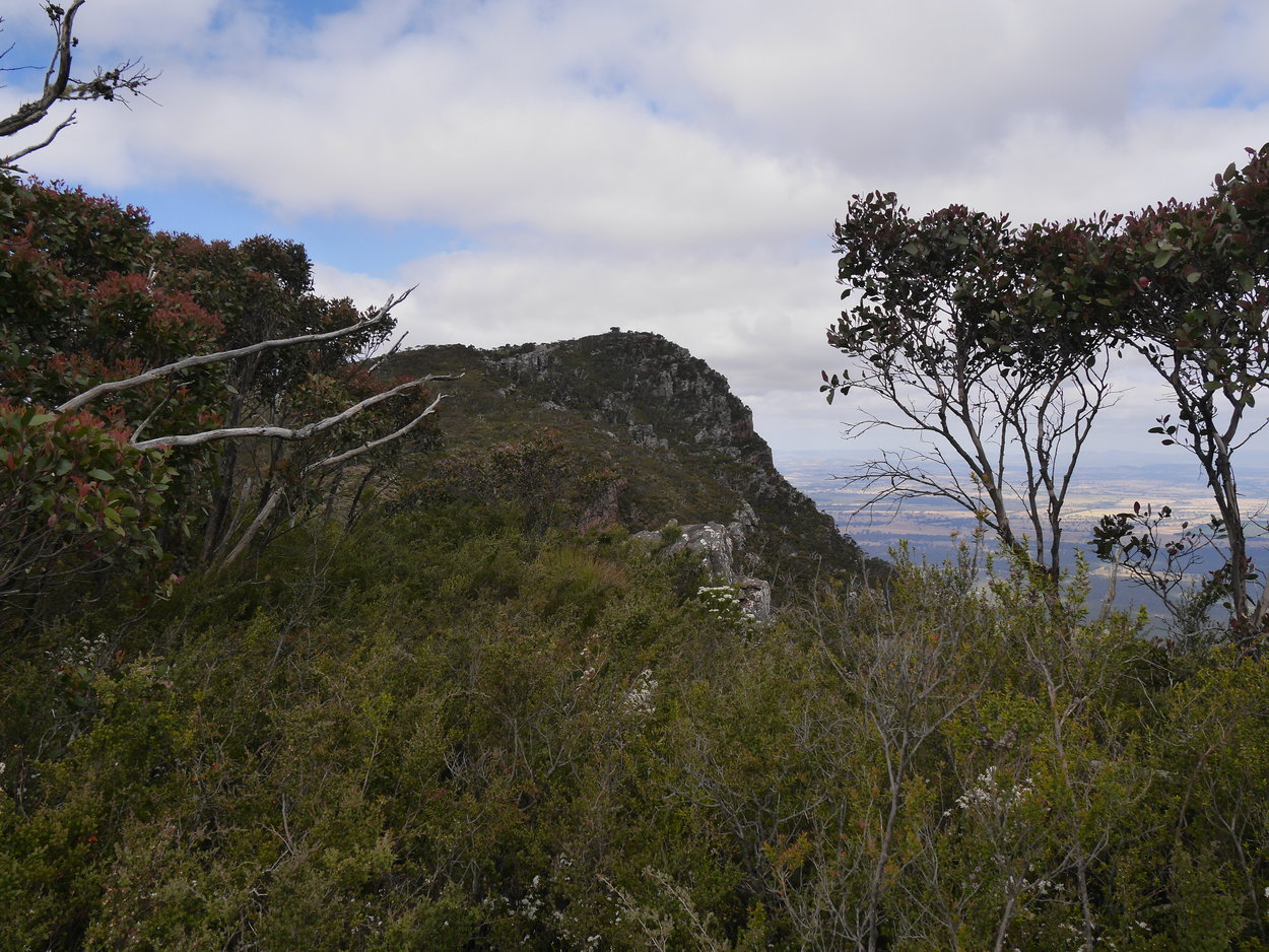
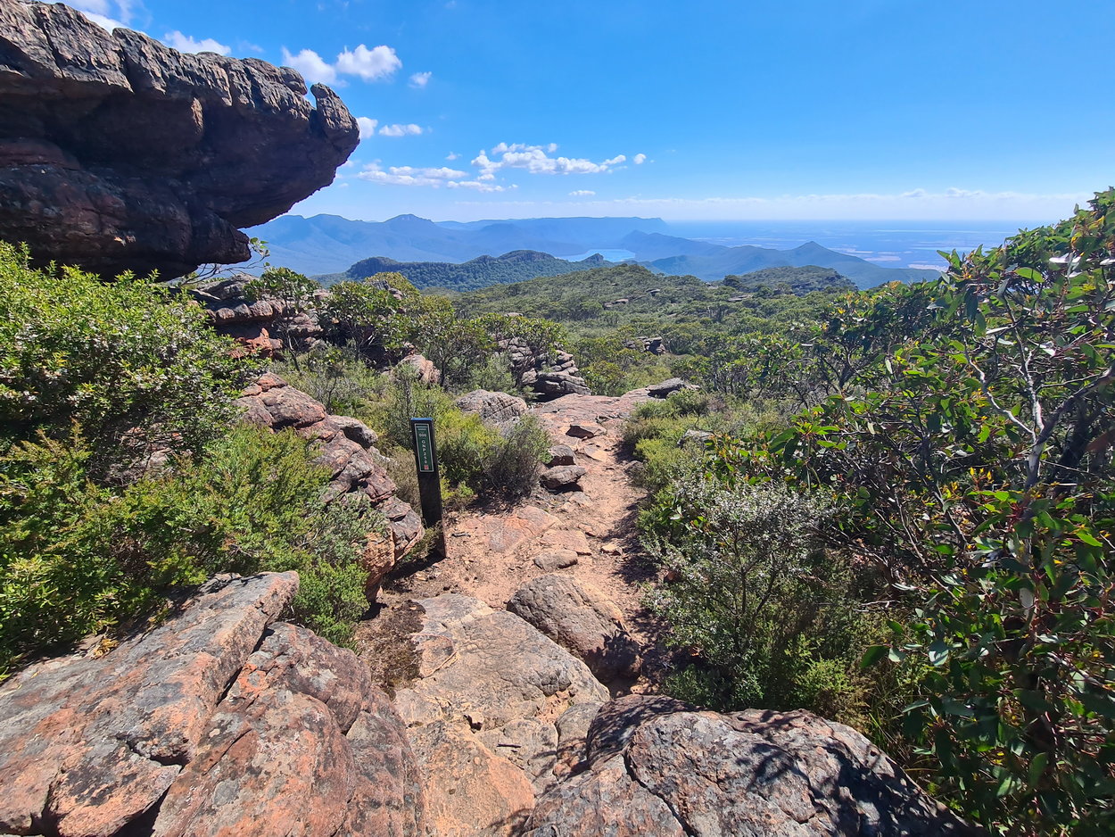
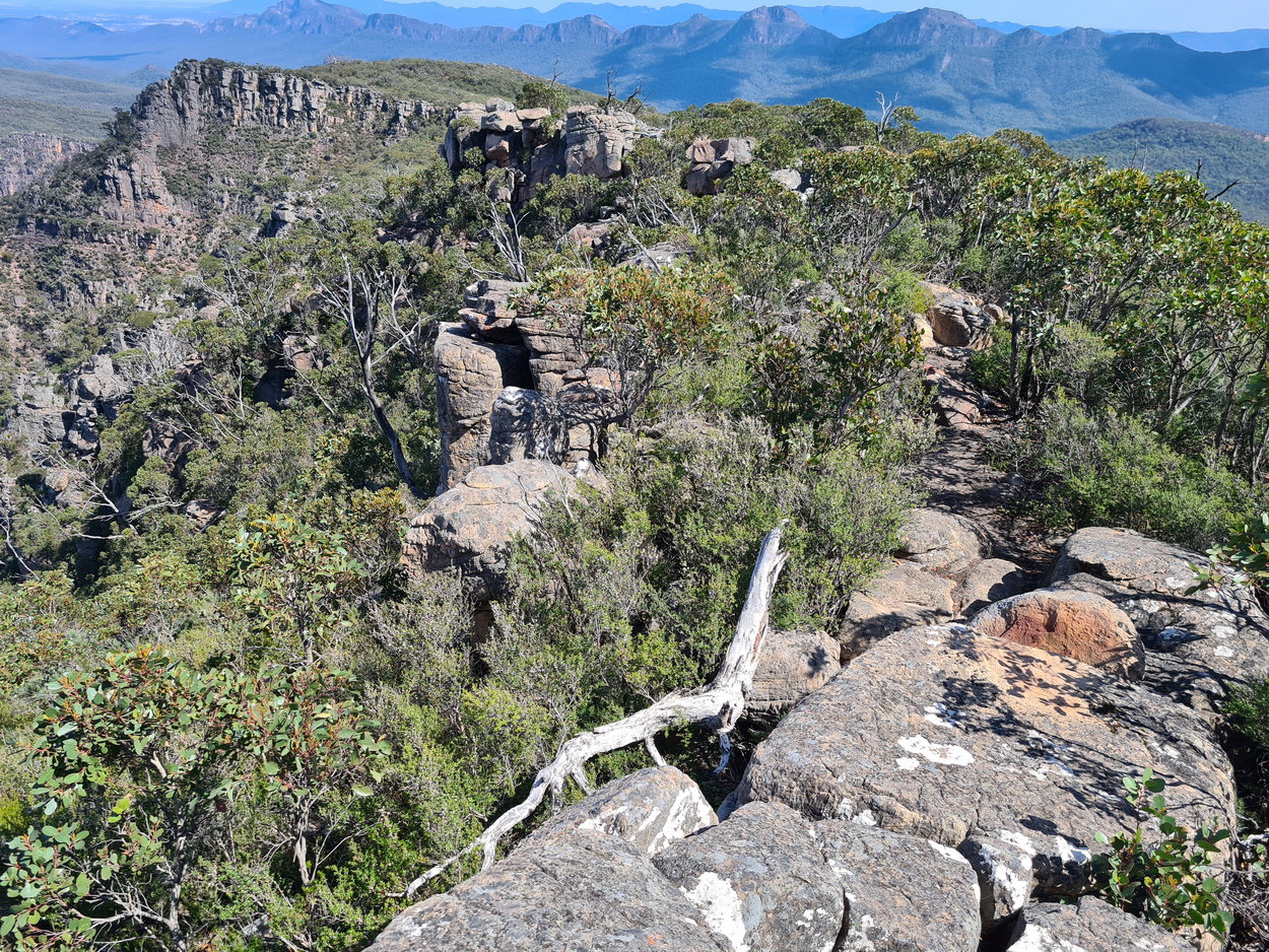
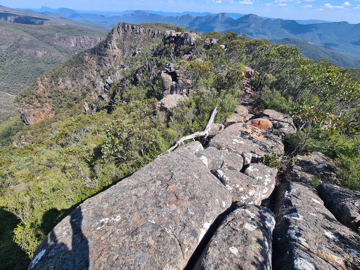
| Walking along the bluff edge looking at our destination, the cairn. | ||
 |
 |
 |
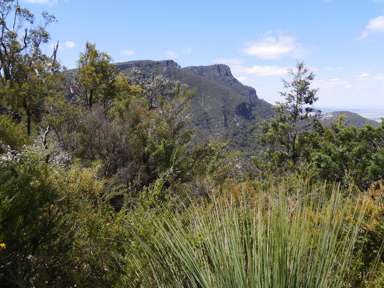
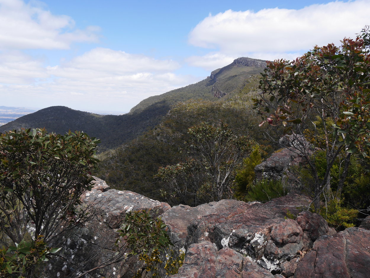
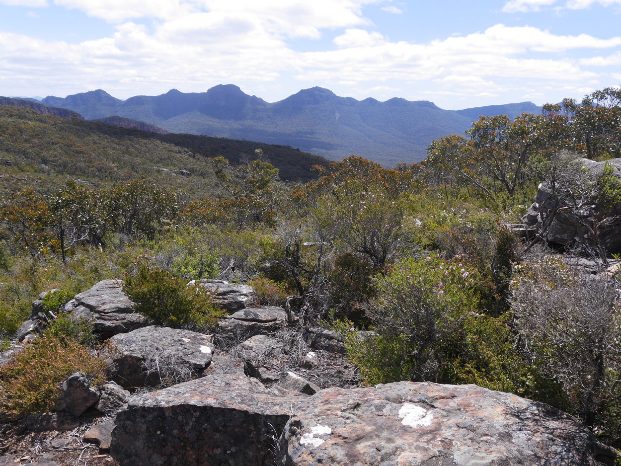
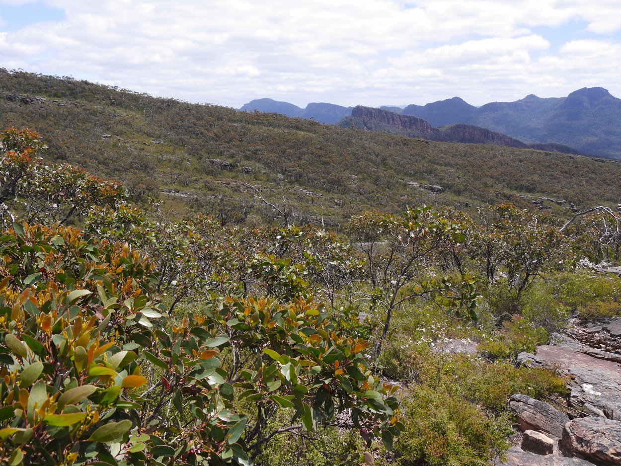
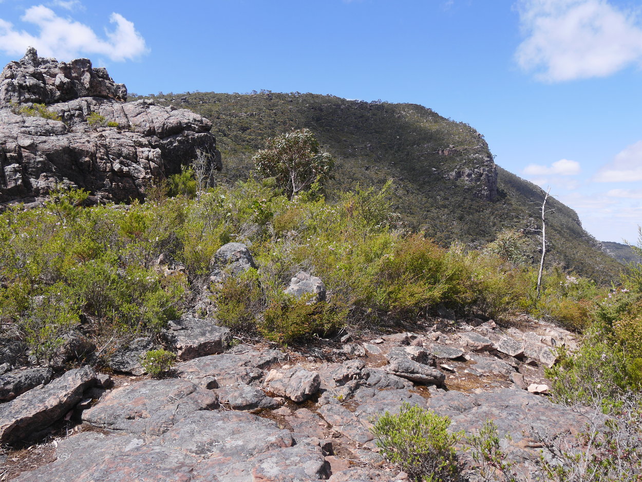
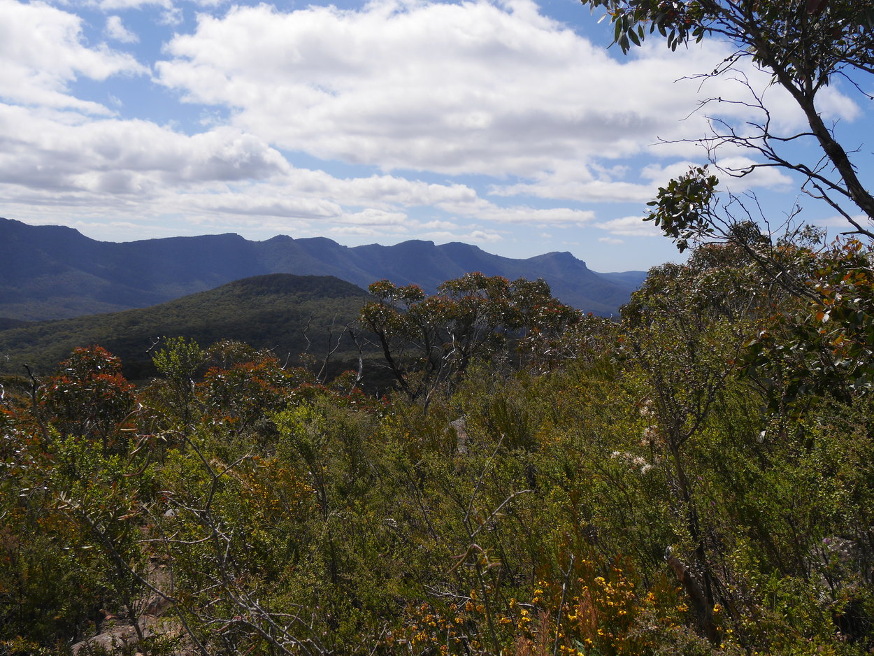
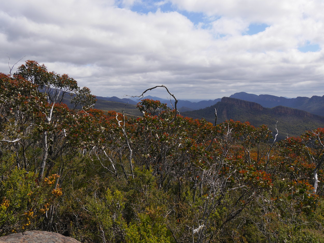
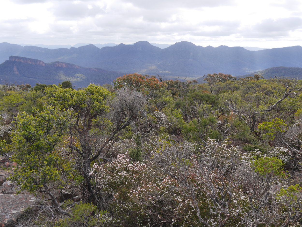
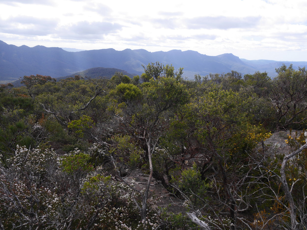
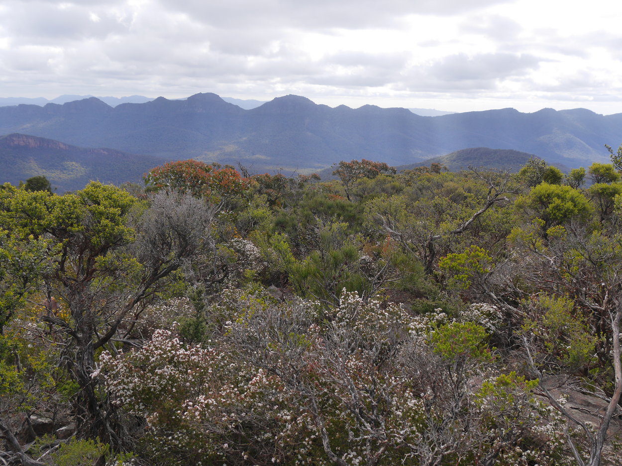
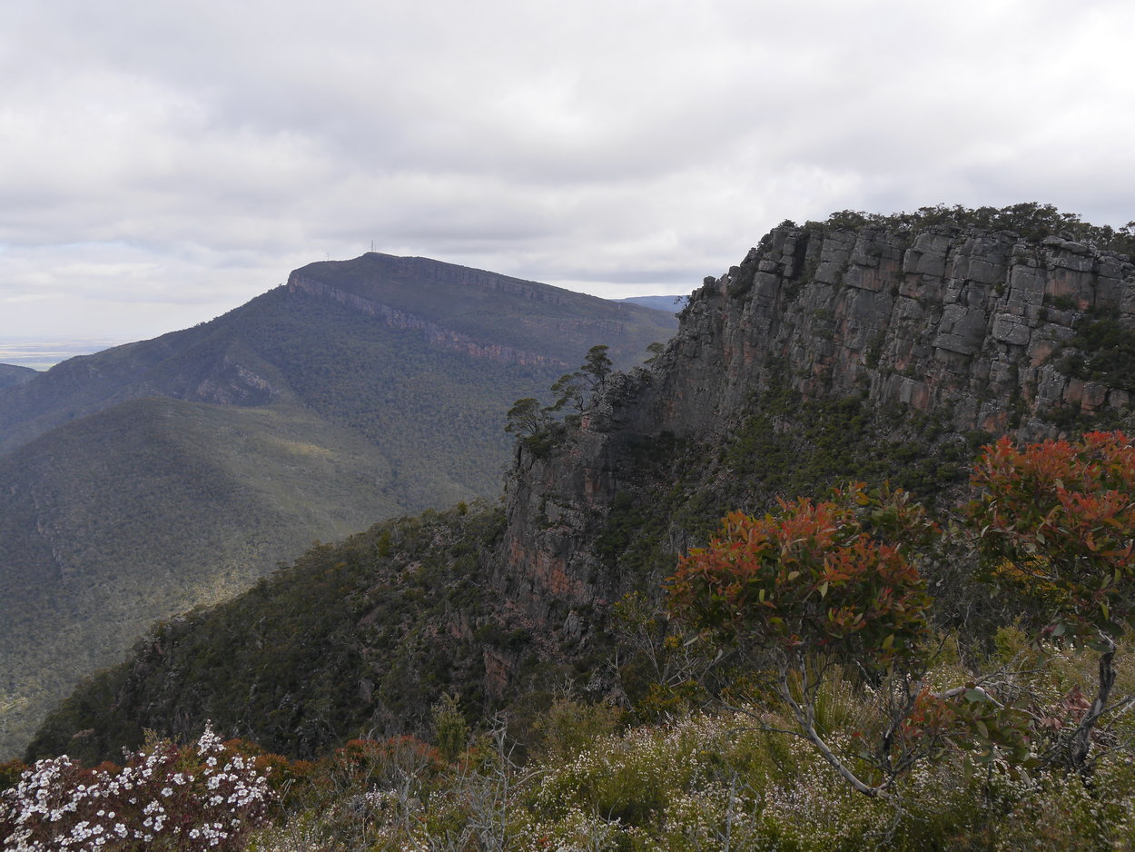
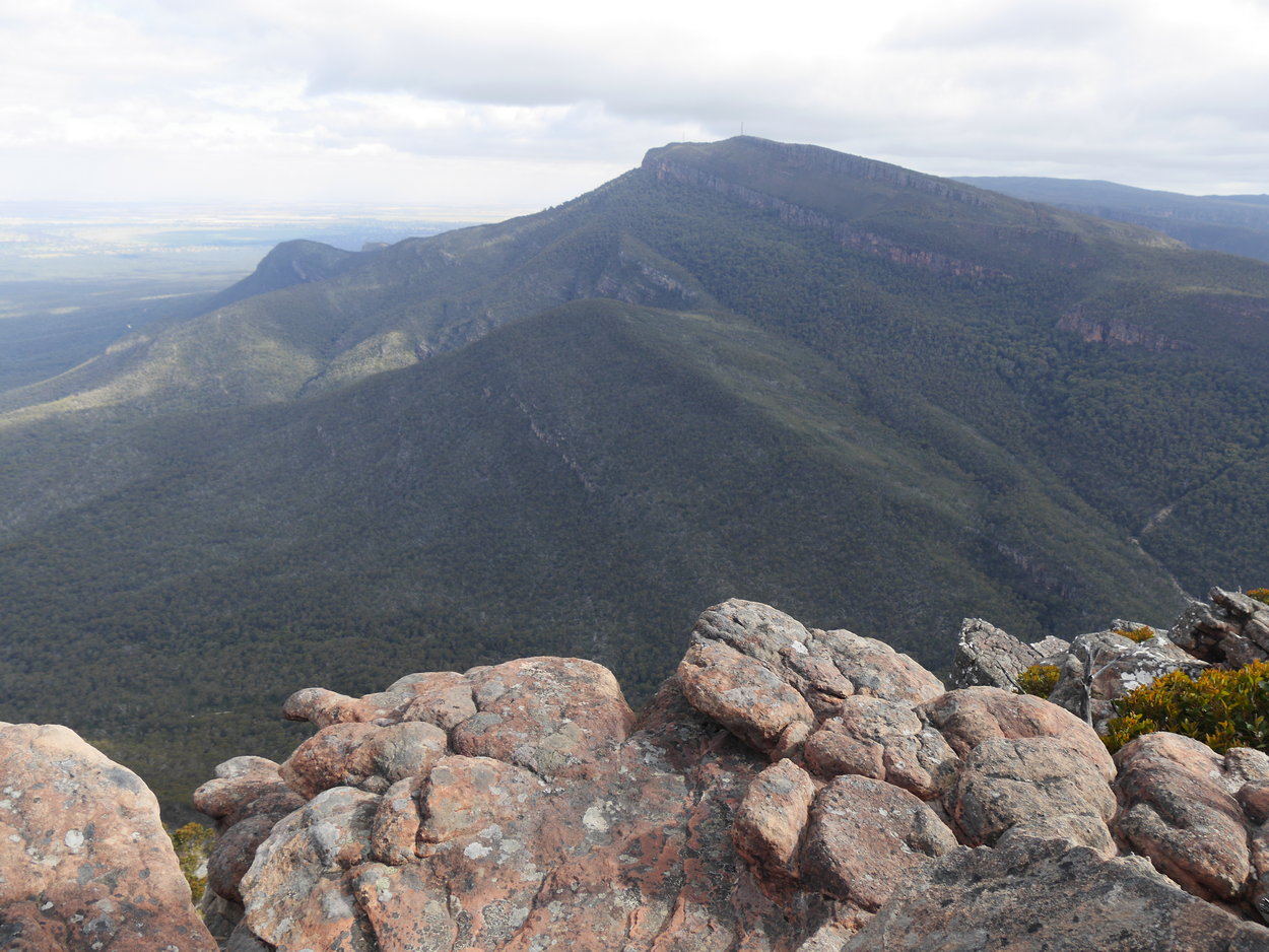
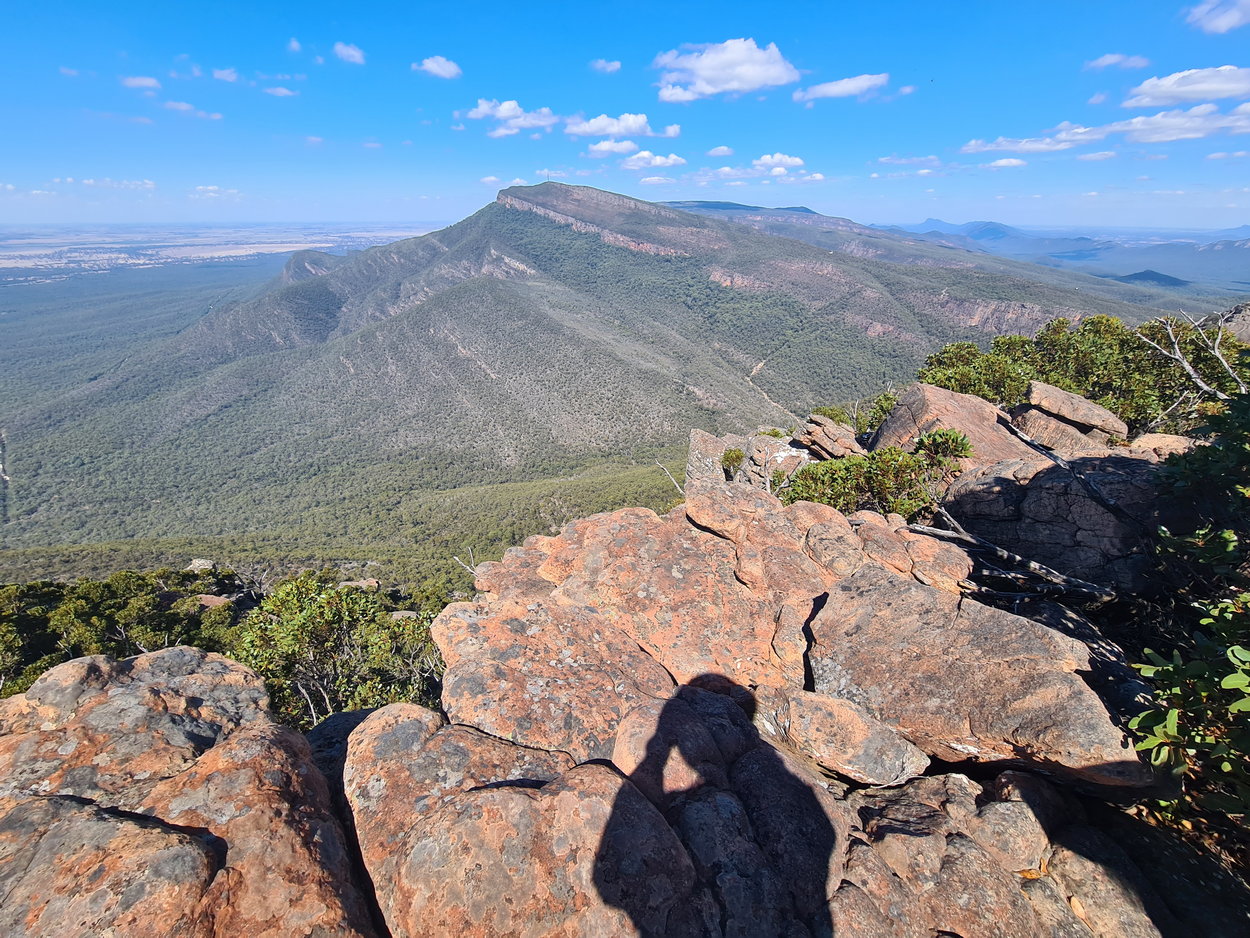
| View - Mt William | View - Mt William | View - Mt William |
 |
 |
 |
 |
||
 |
 |
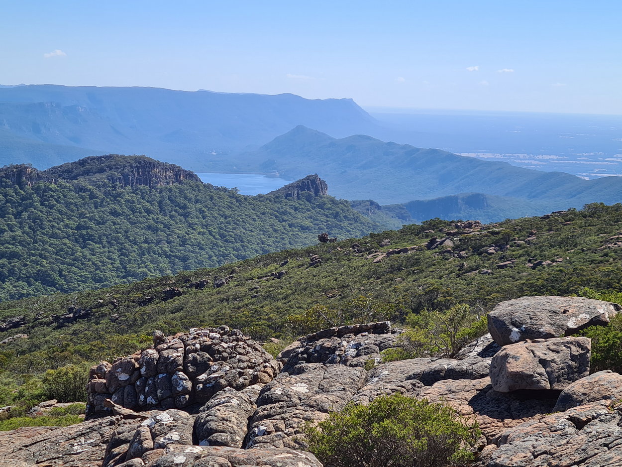 |
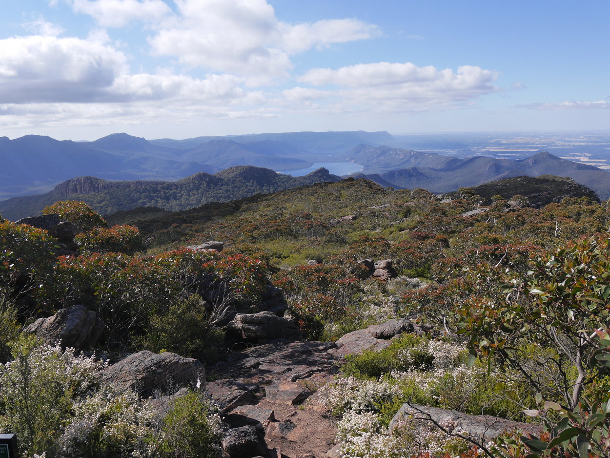
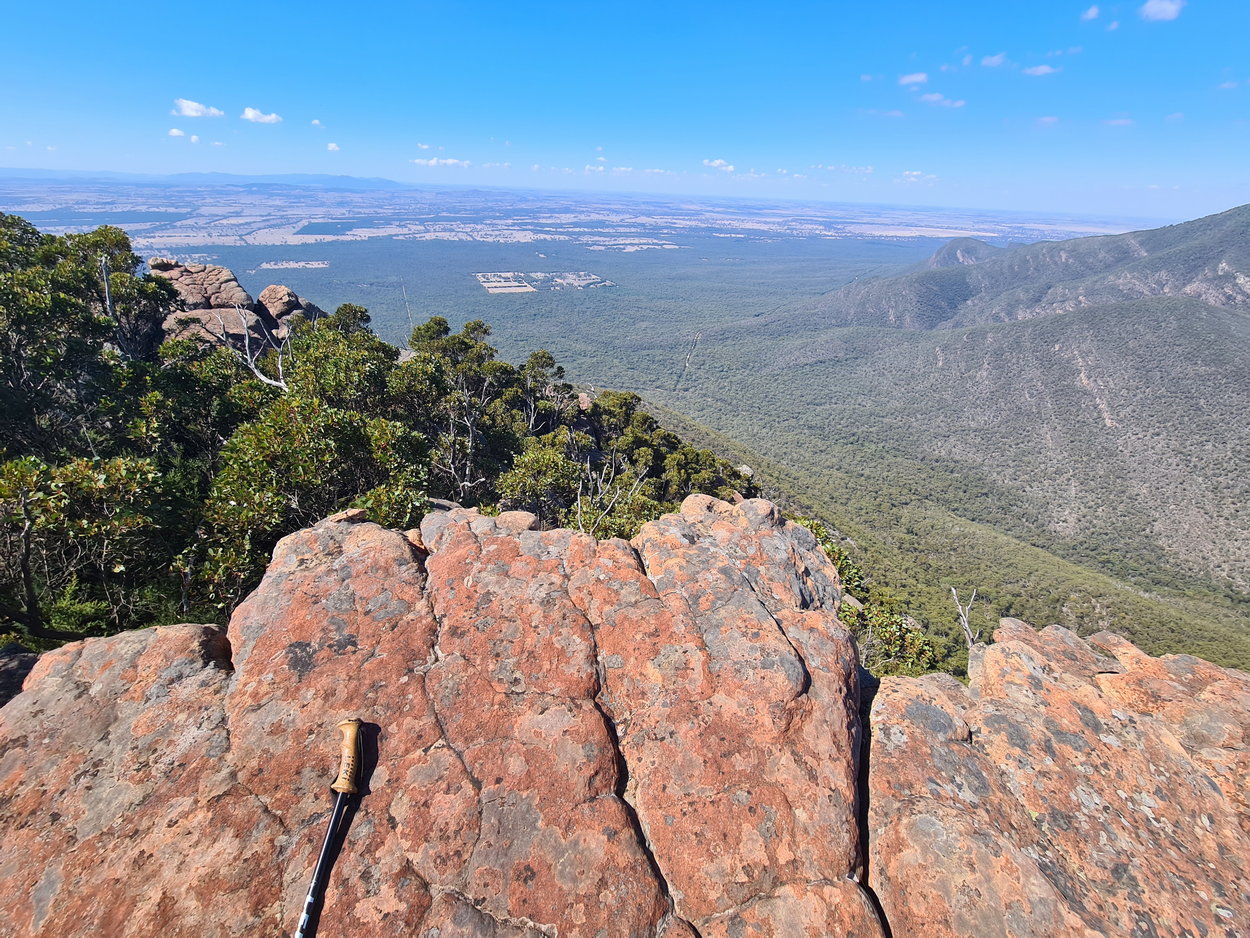
| Lake Bellfield in the distance | ||
 |
 |
 |
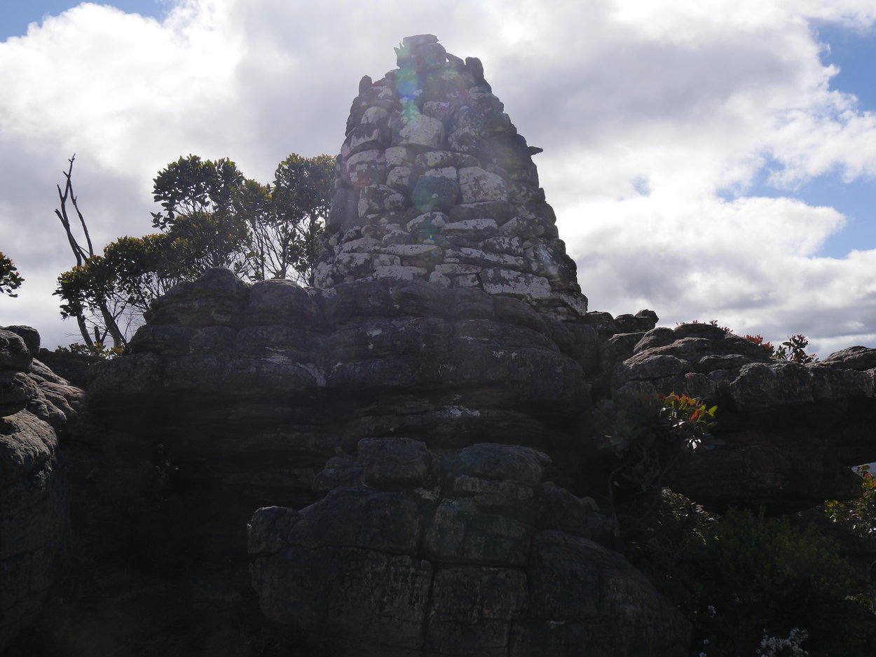
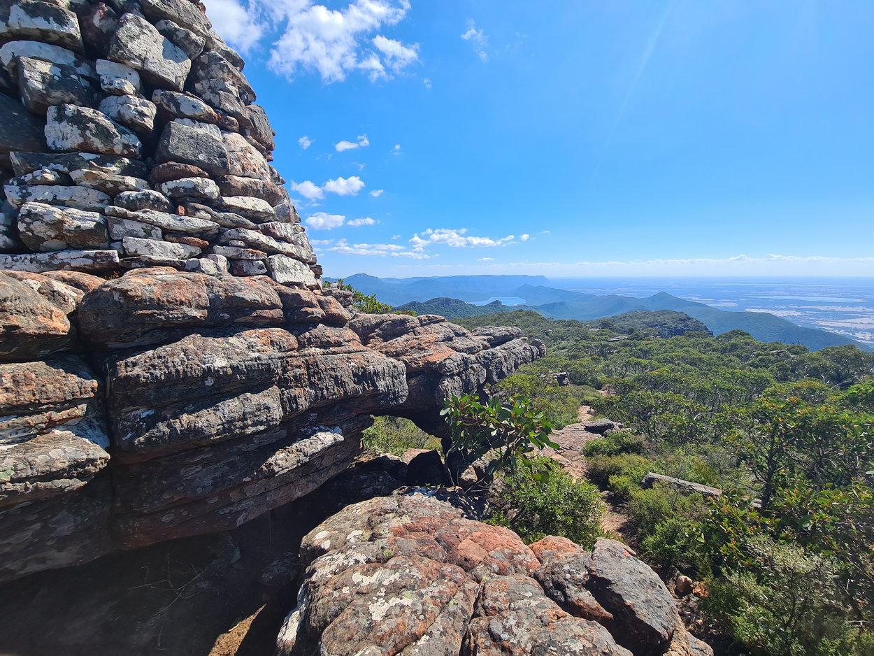
| The Redman Bluff Cairn | ||
 |
 |
 |
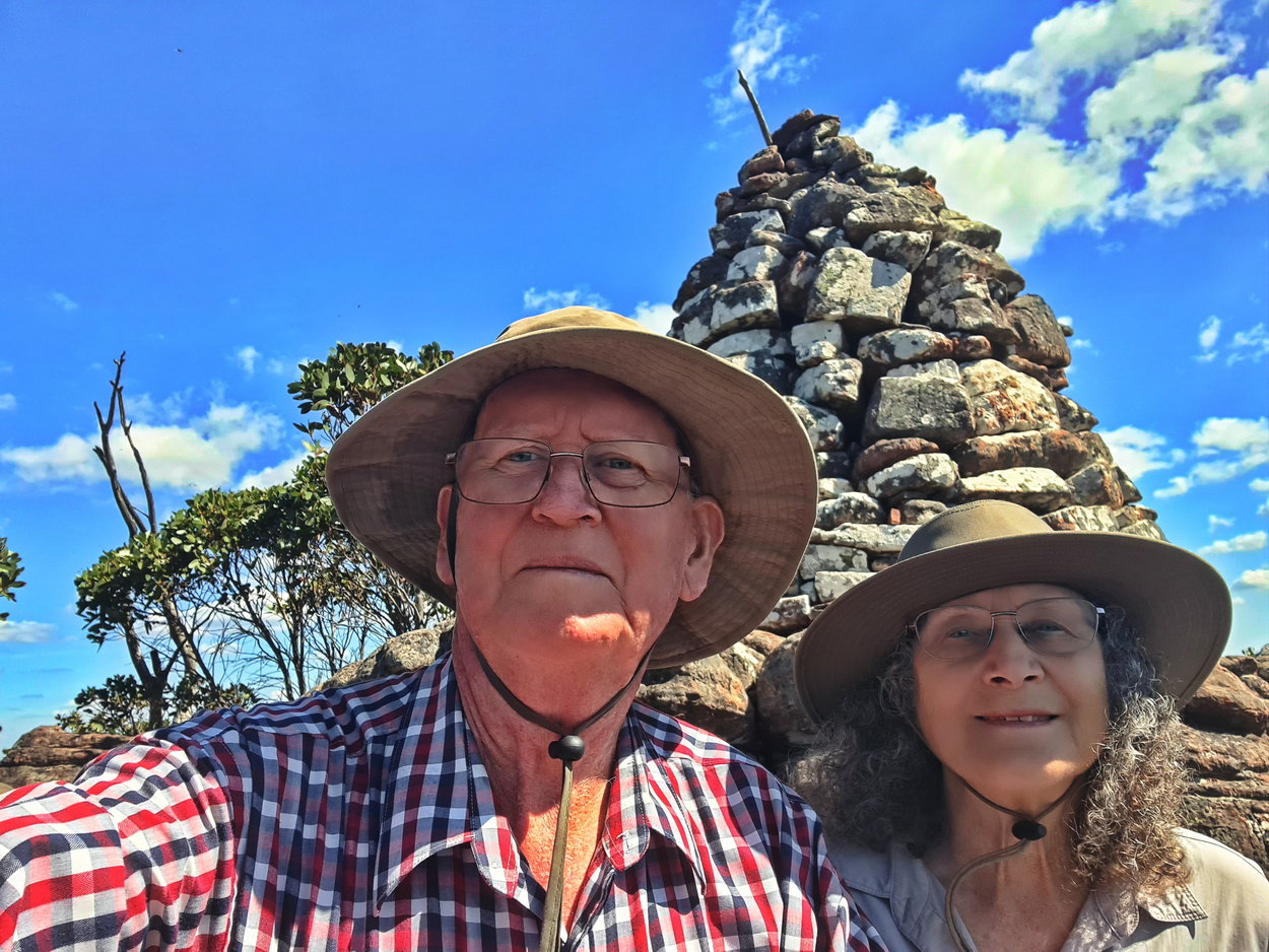
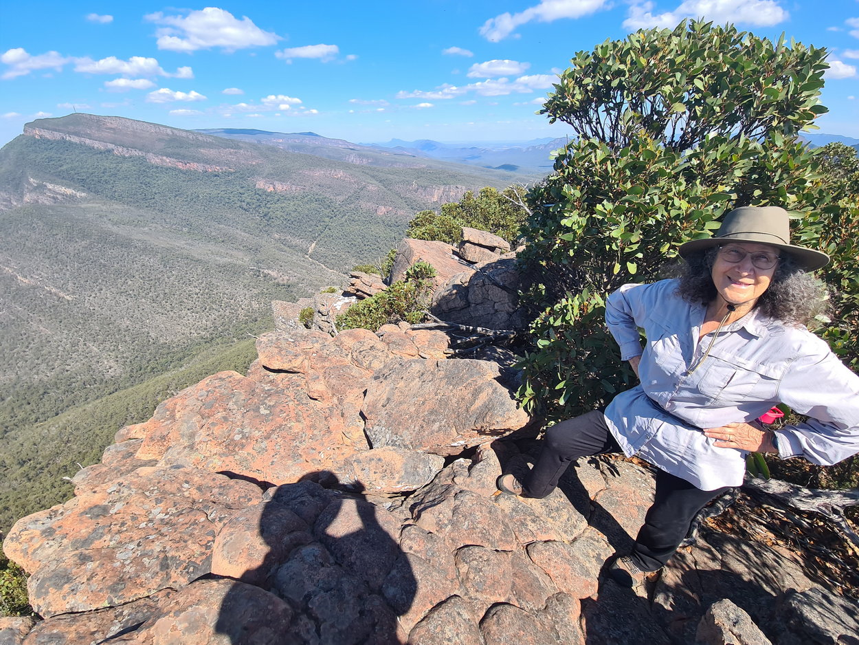
| Selfie! | Emergency marker next to Redman Bluff cairn | |
 |
 |
 |
| View - Mt William | ||
 |
 |
 |
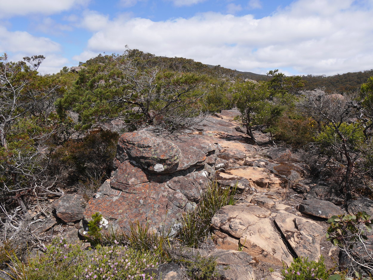
| Close to the edge - rock hopping | ||
 |
 |
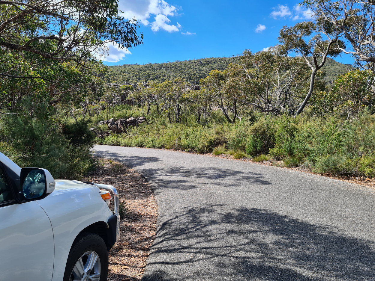 |
| The pond is now dry | Back at the car - great little walk. | |