Slideshow

|
Mount Anne Circuit Walk
(Late November 2009) Day 4 - The Finish |
| Contact Sheet for Day 1 2 am 2 pm 3 4 Slideshow for Day 1 2 am 2 pm 3 4 |
|
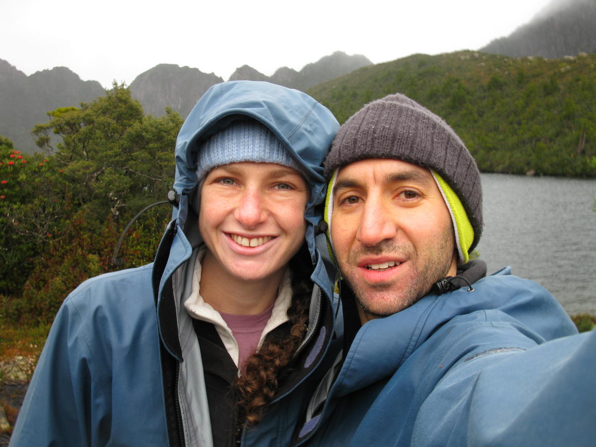
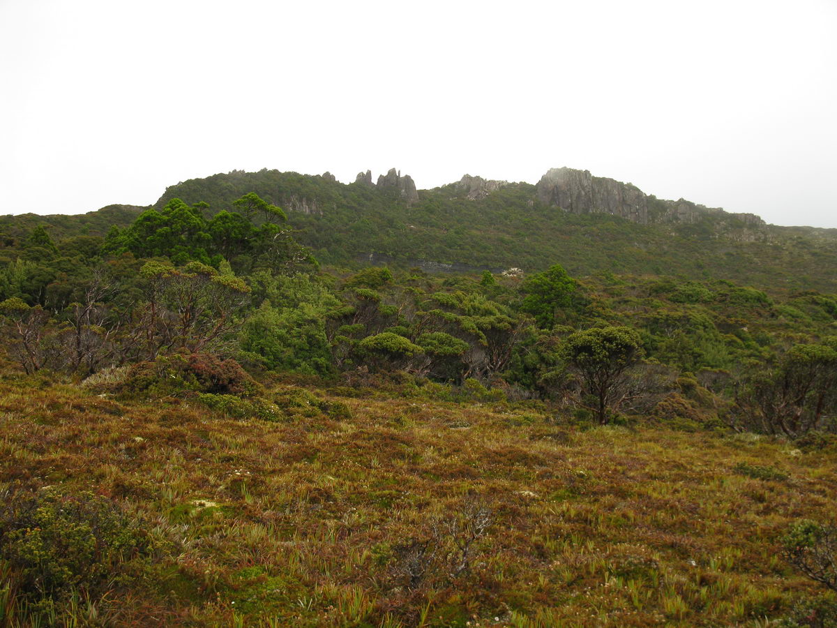
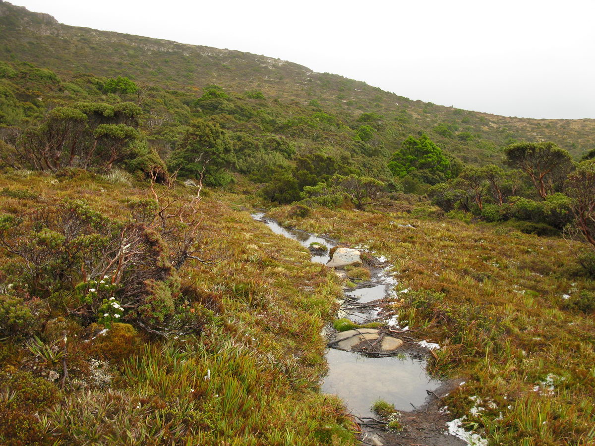
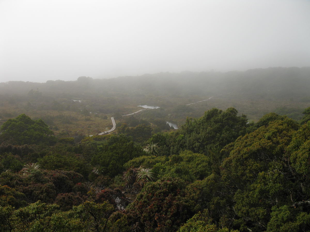
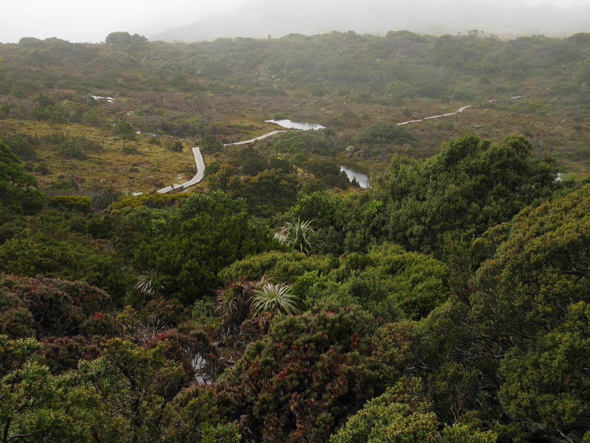
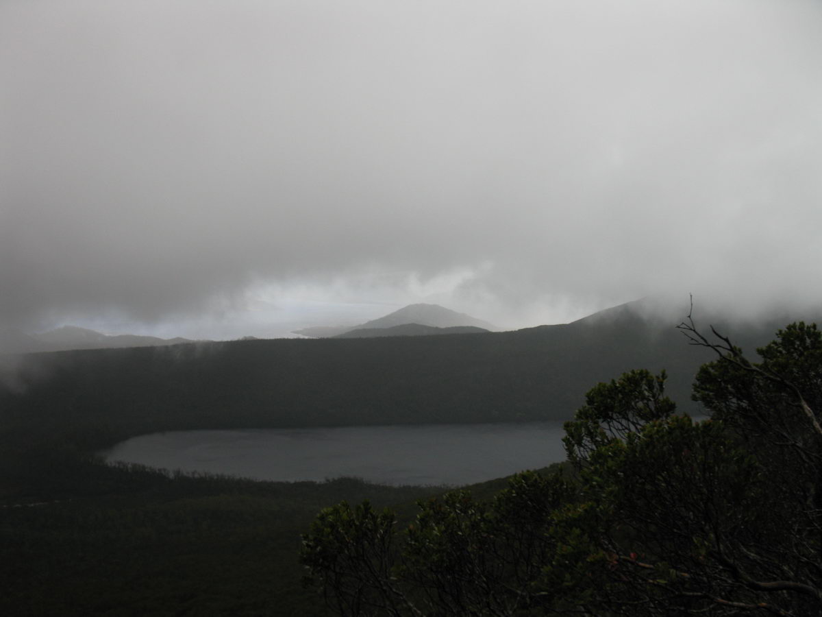
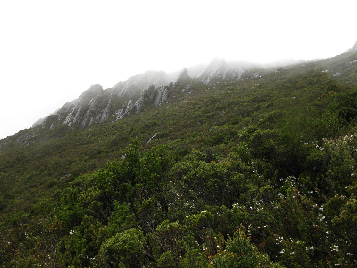
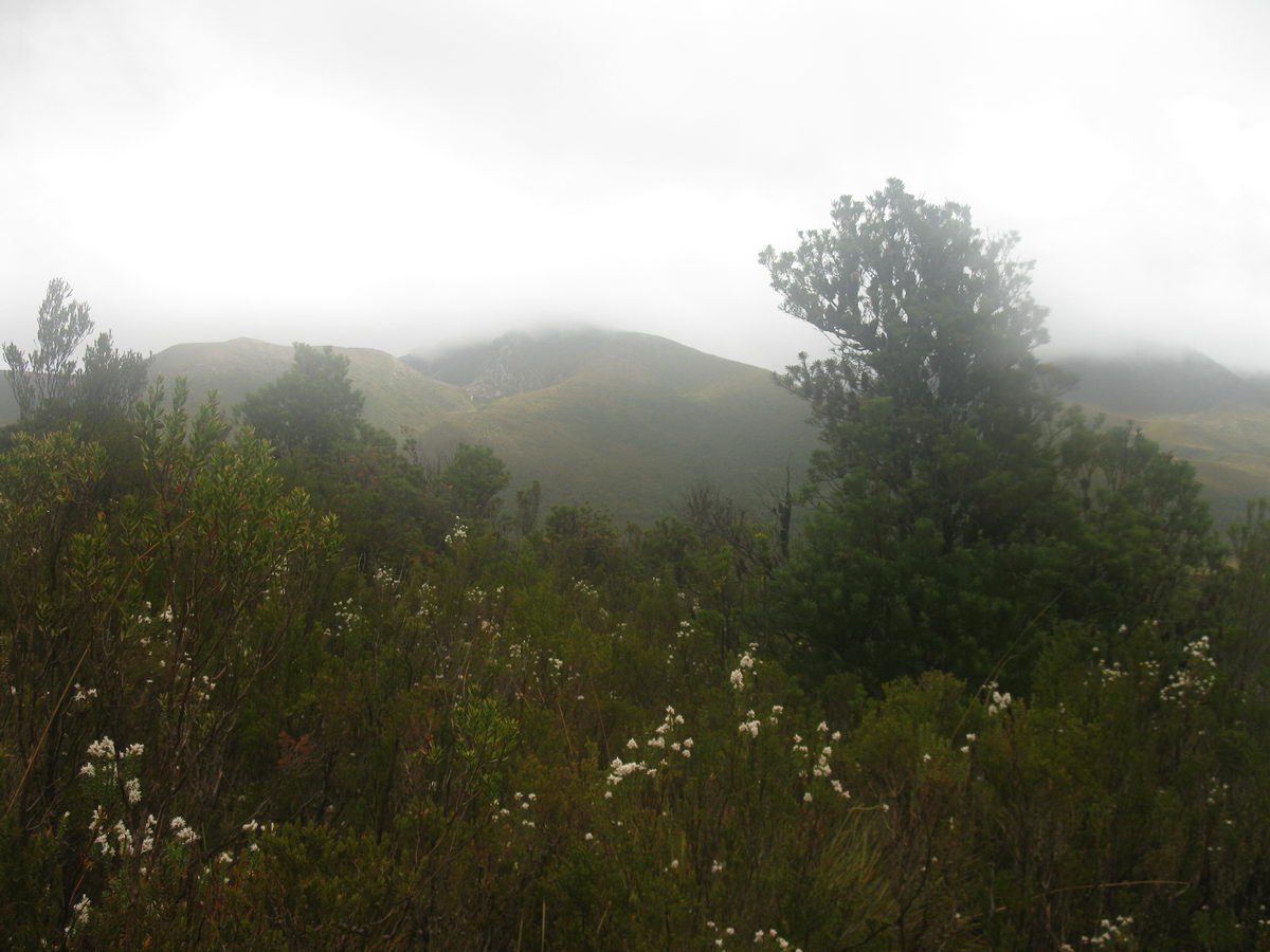
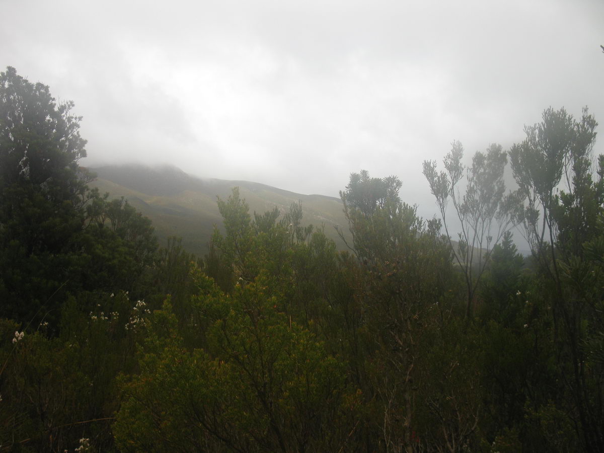
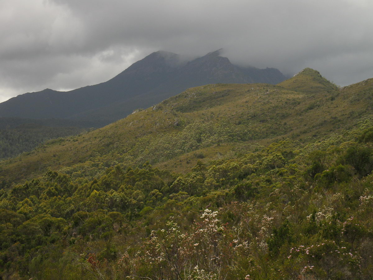
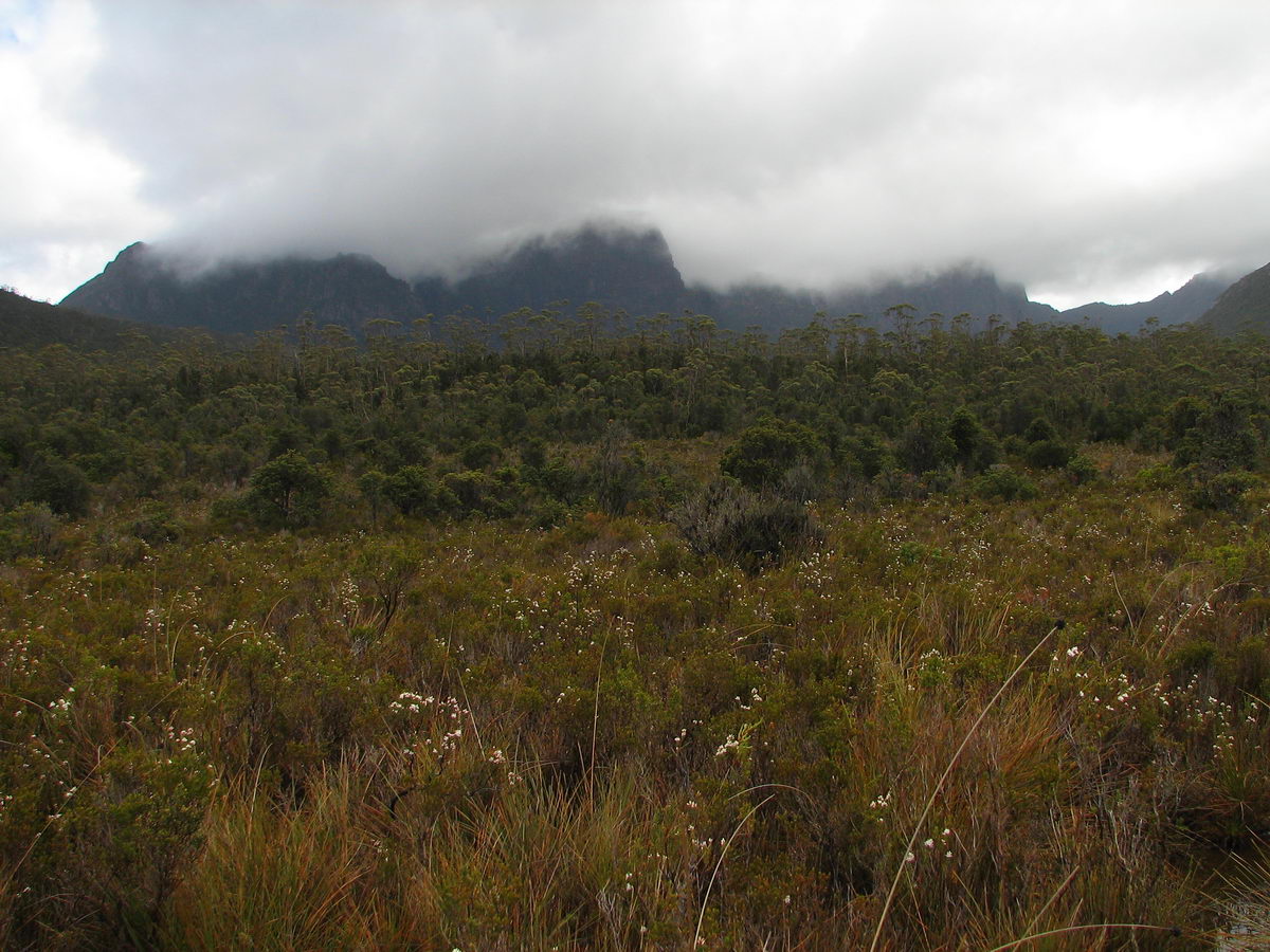
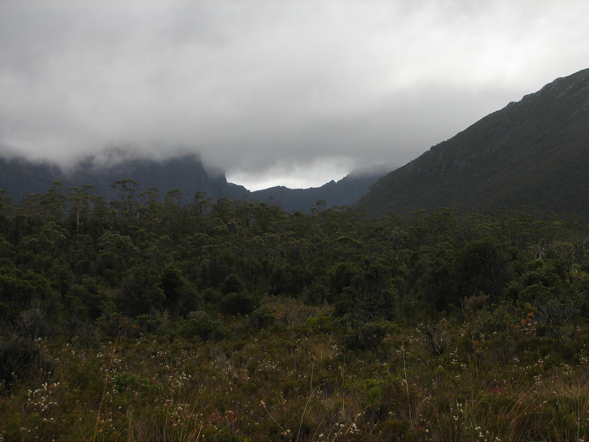
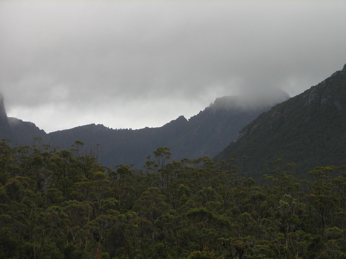
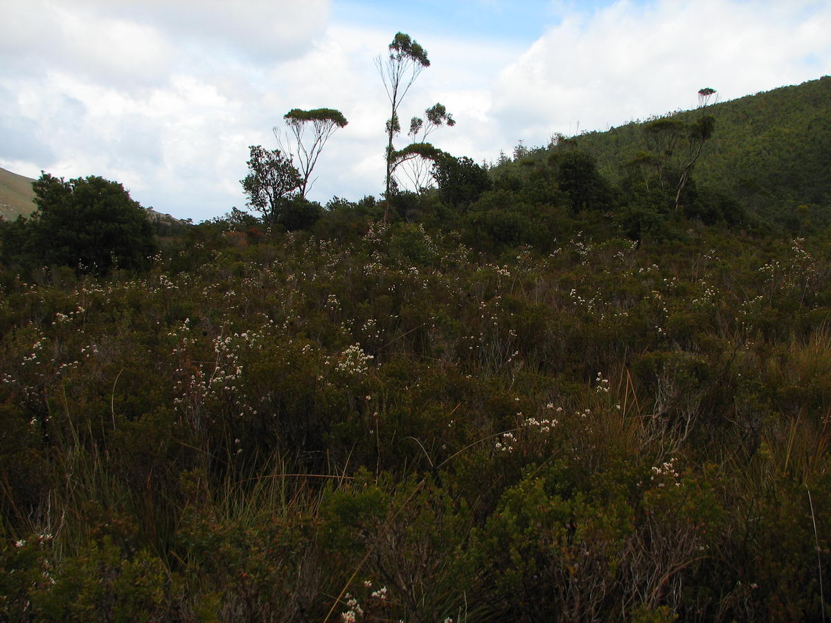
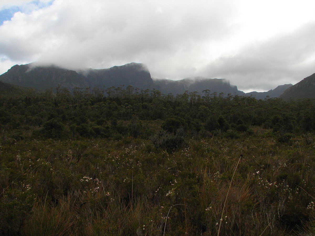
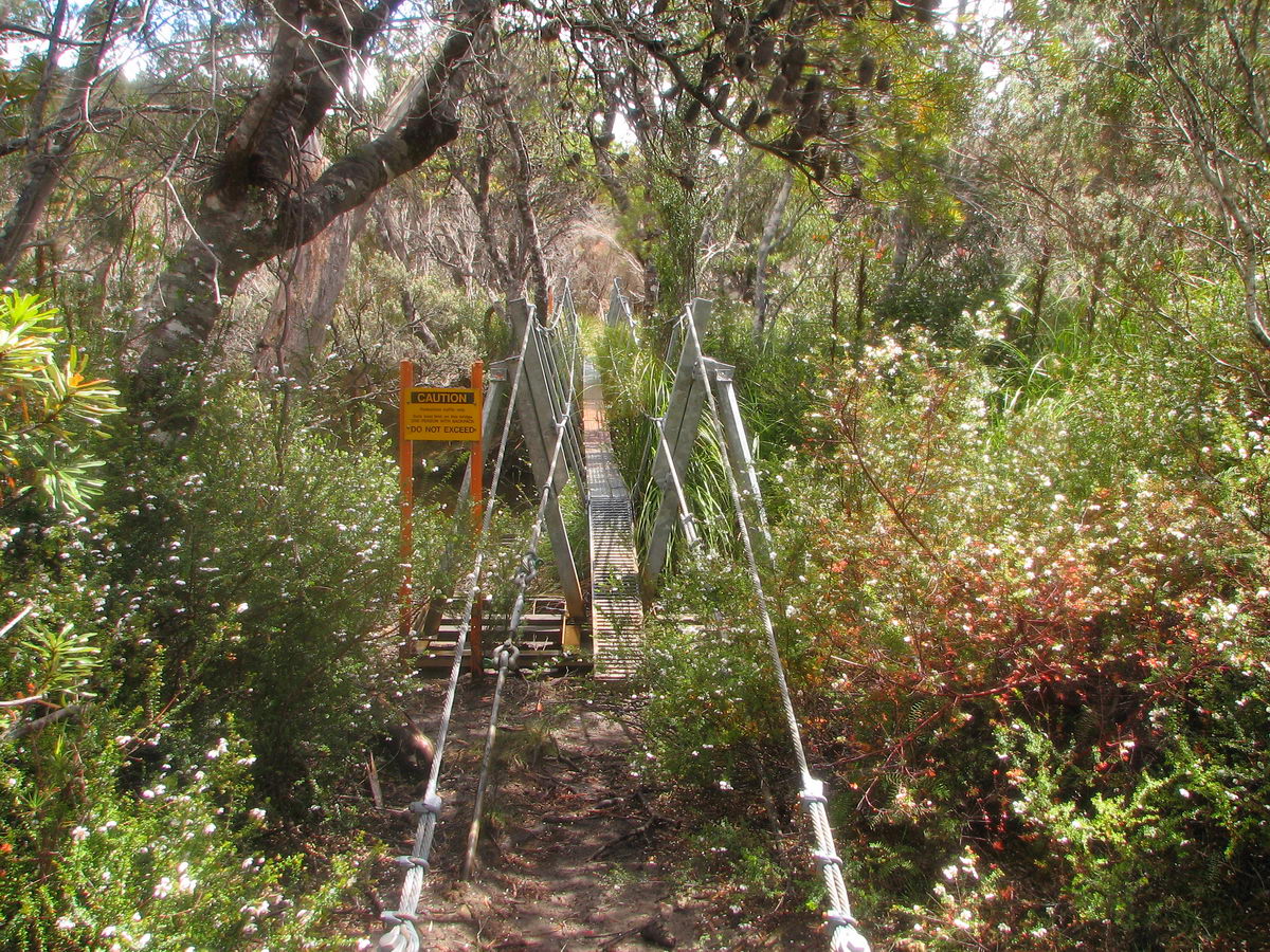
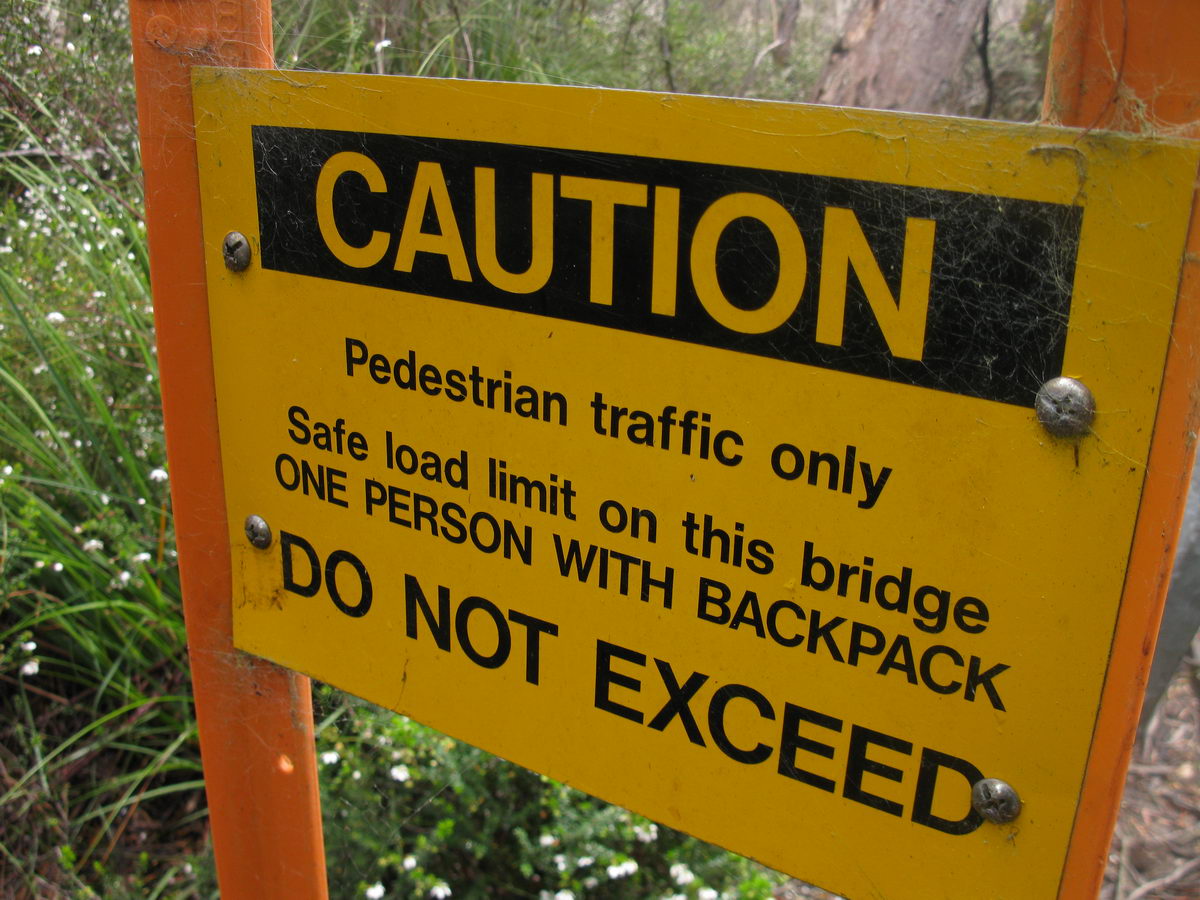
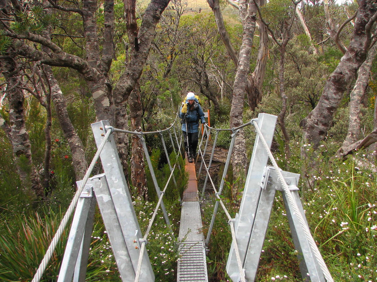
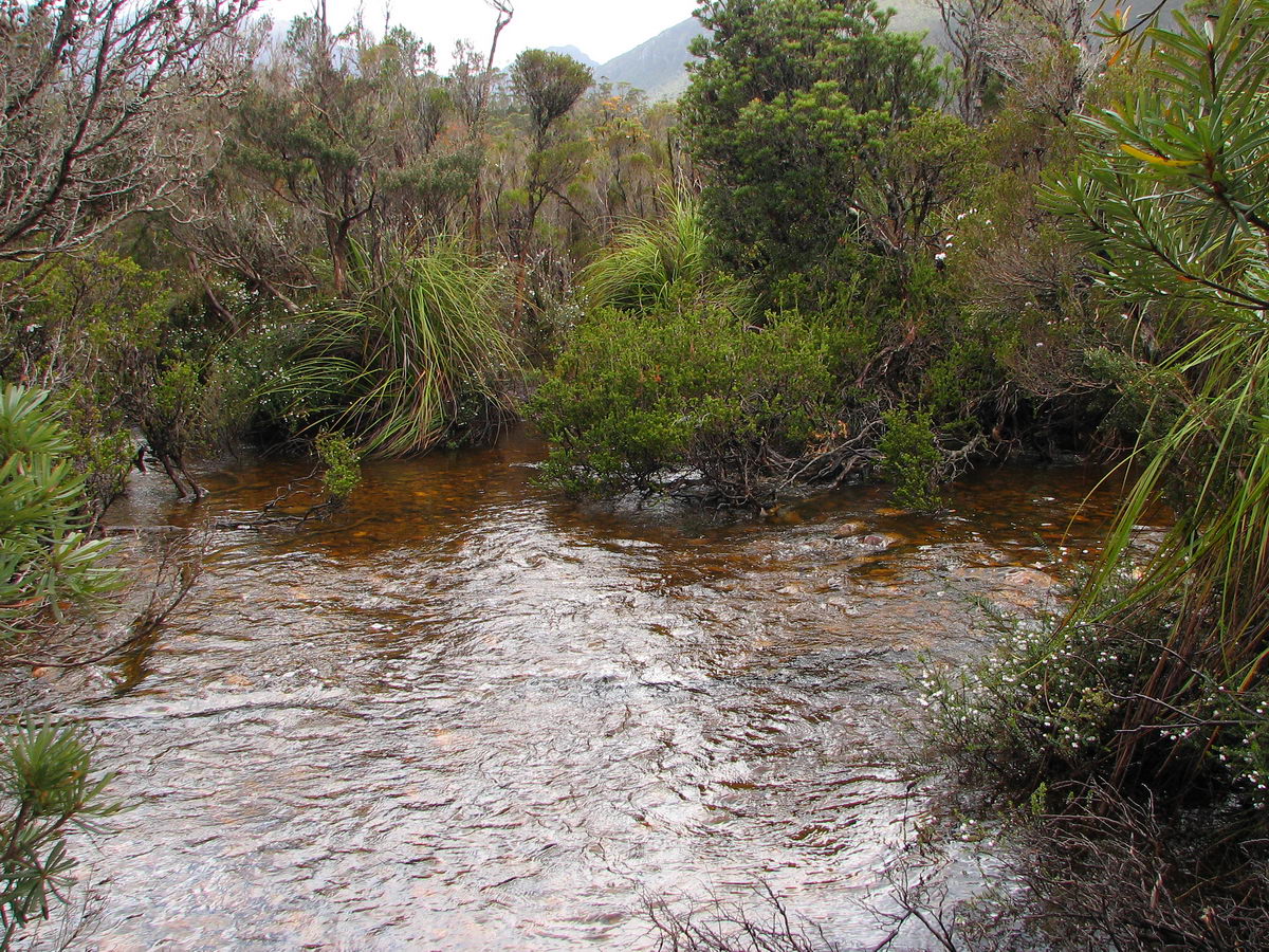
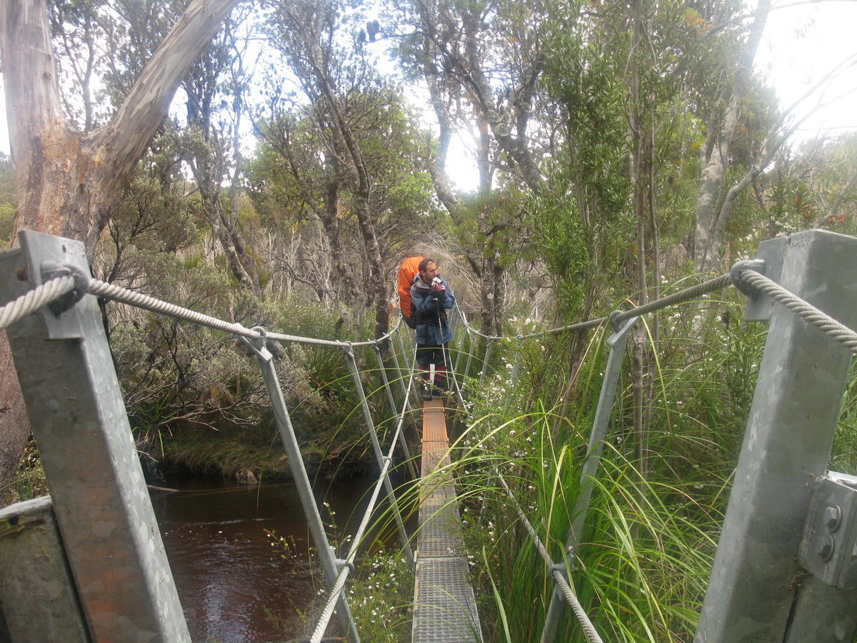
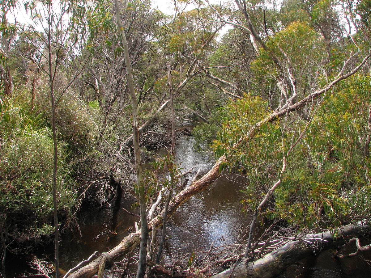
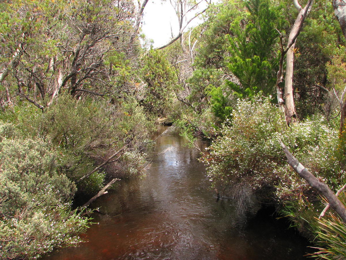
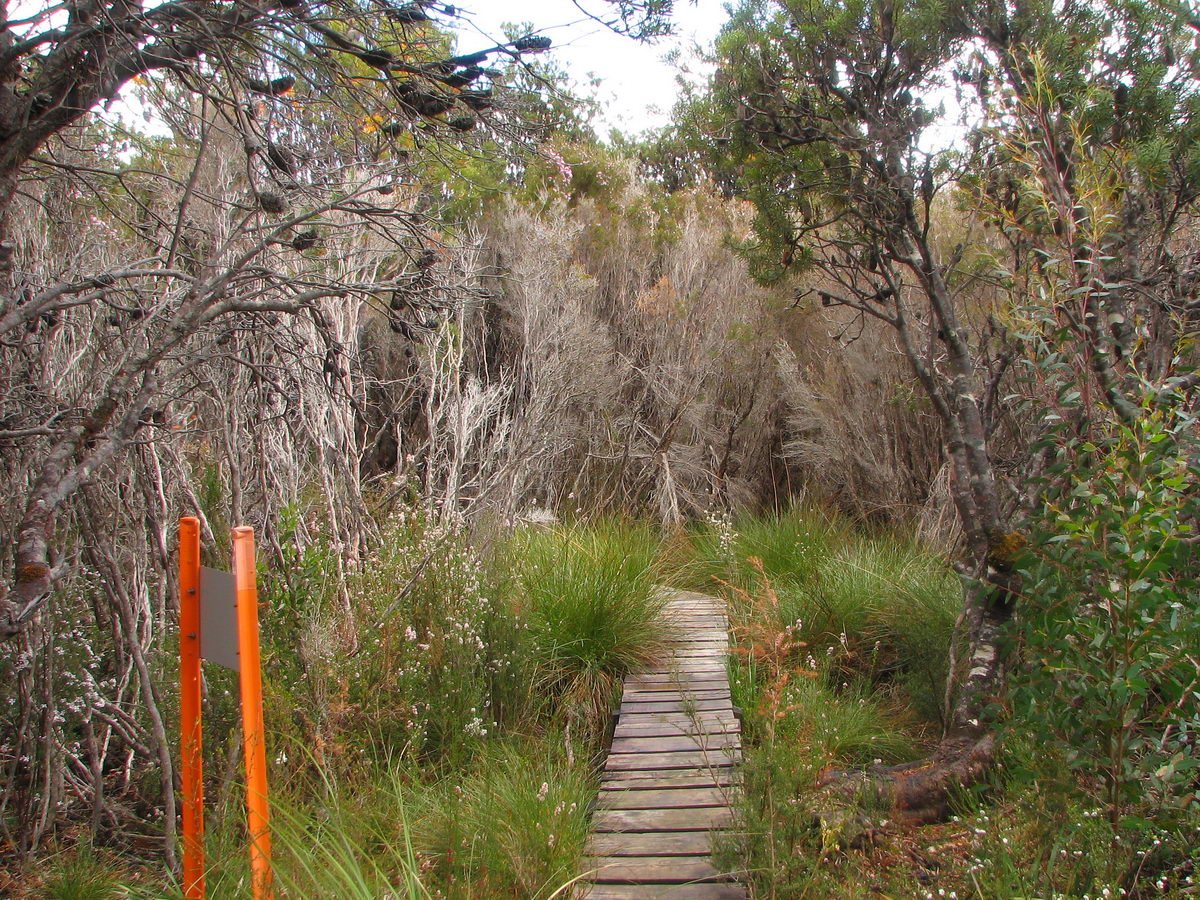
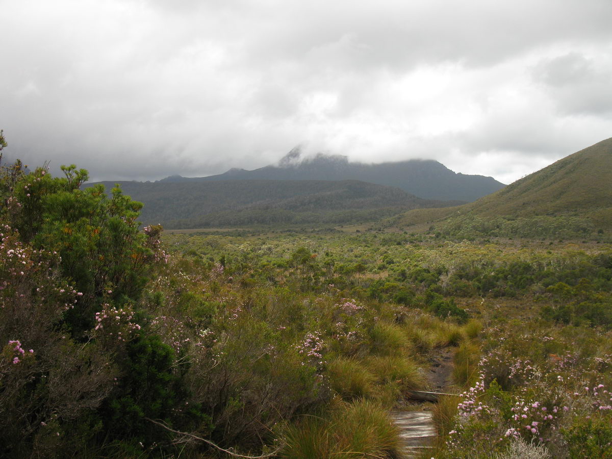
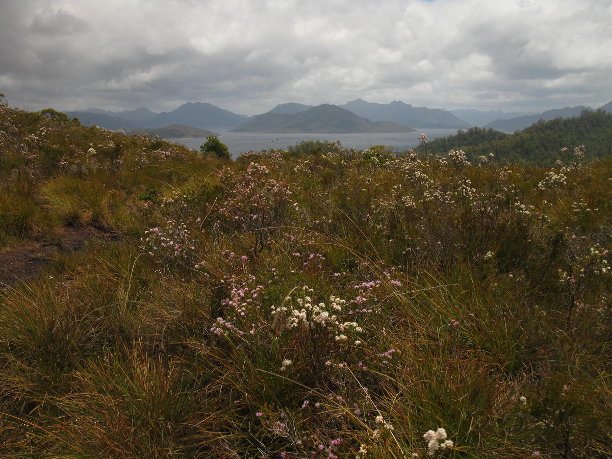
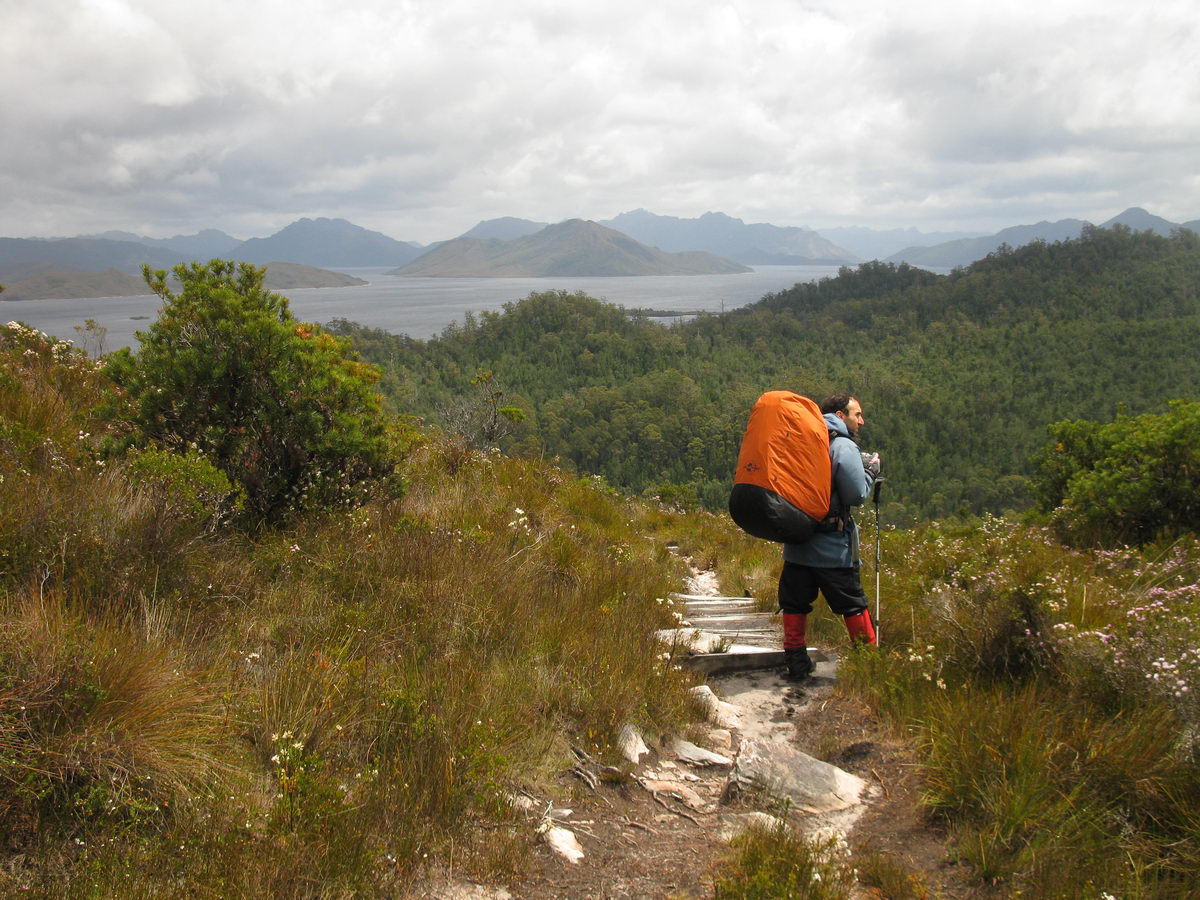
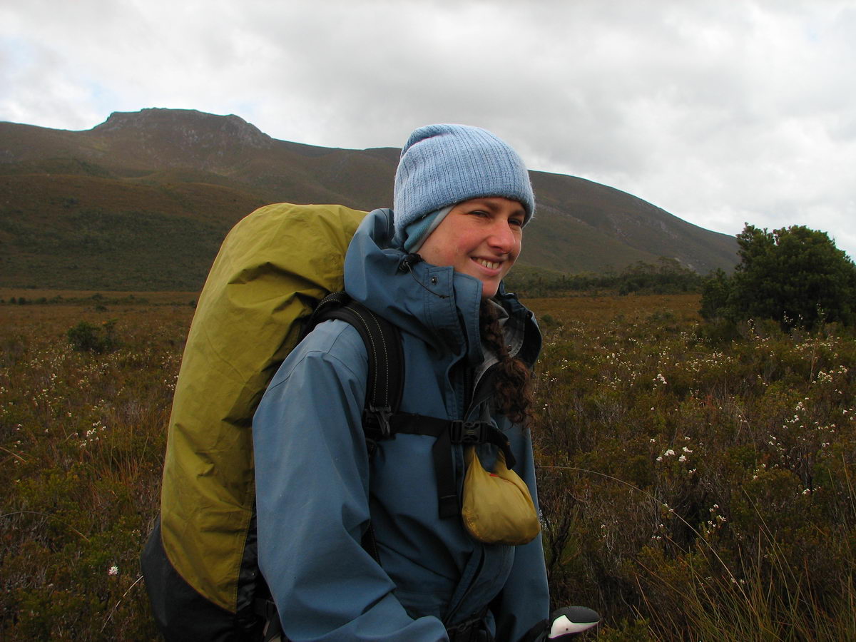
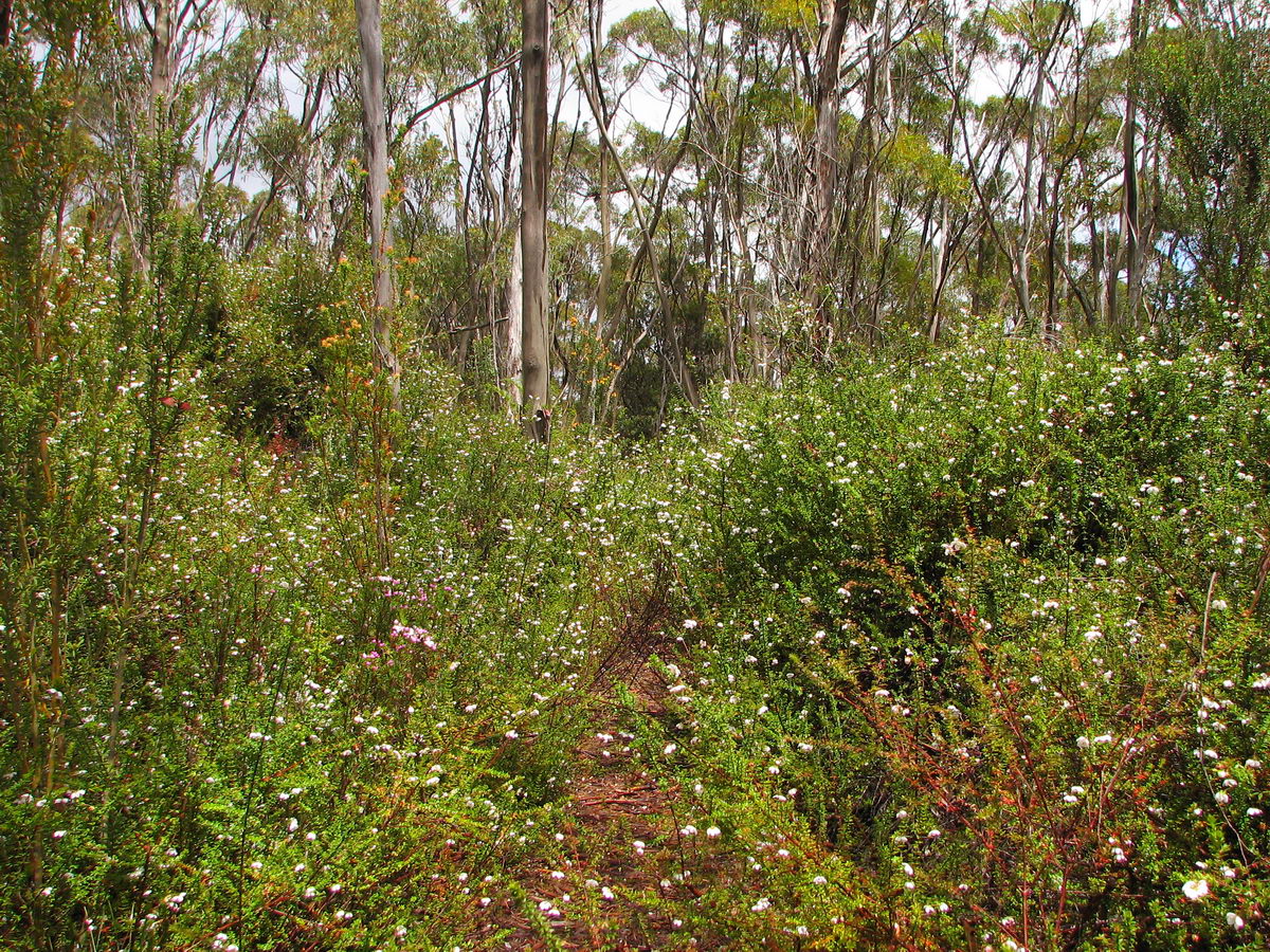
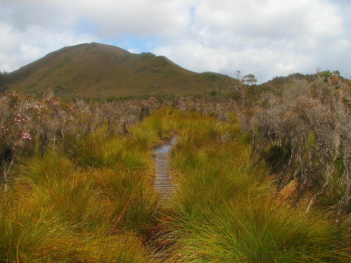
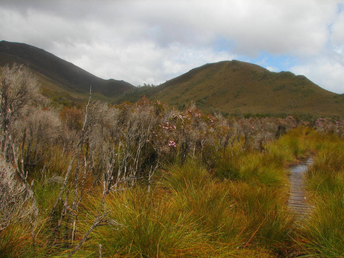
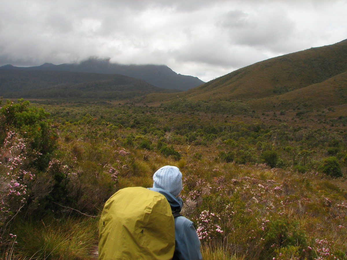
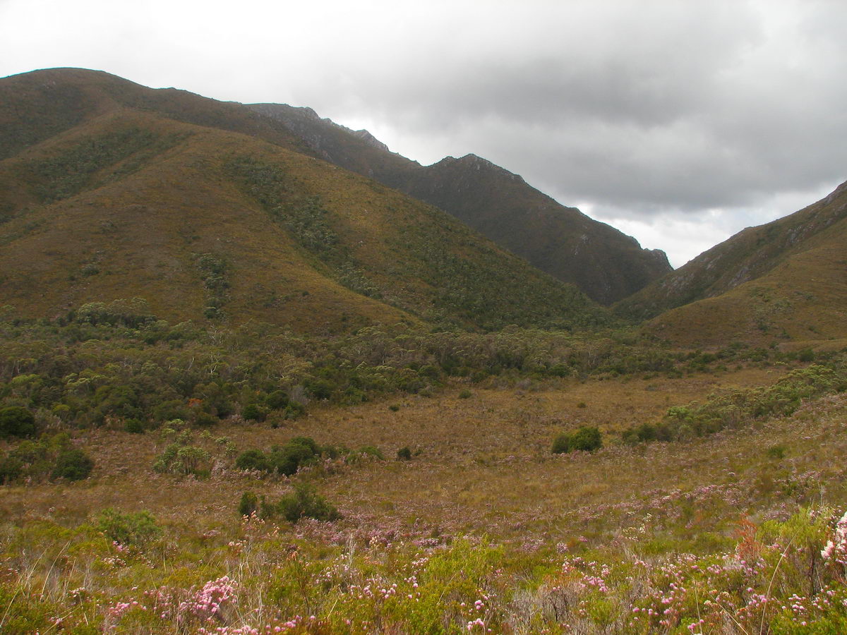
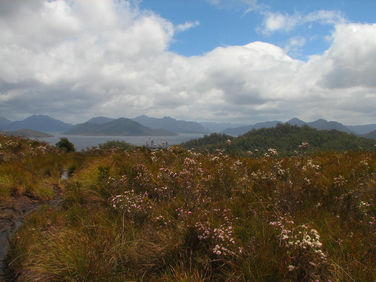
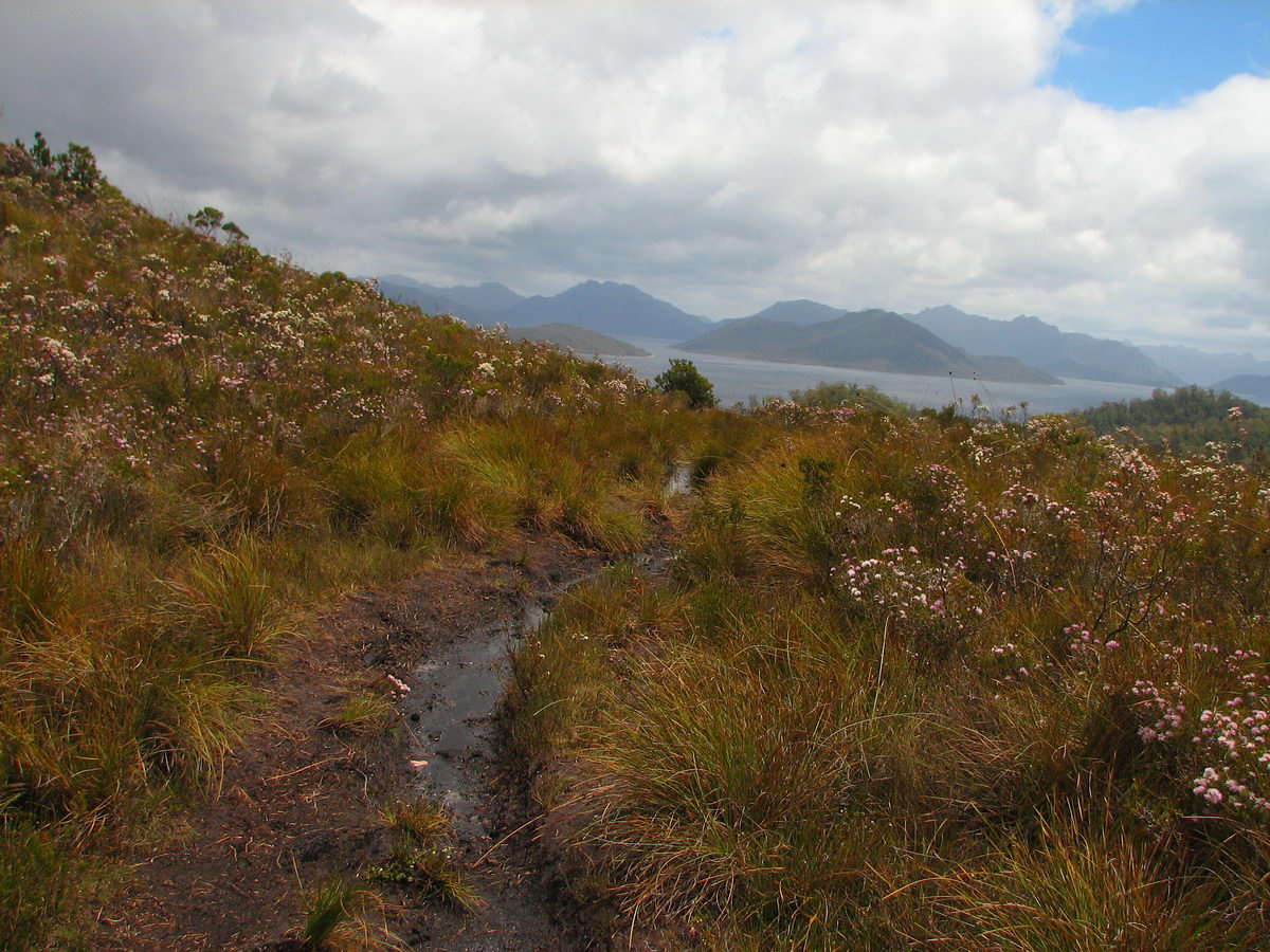
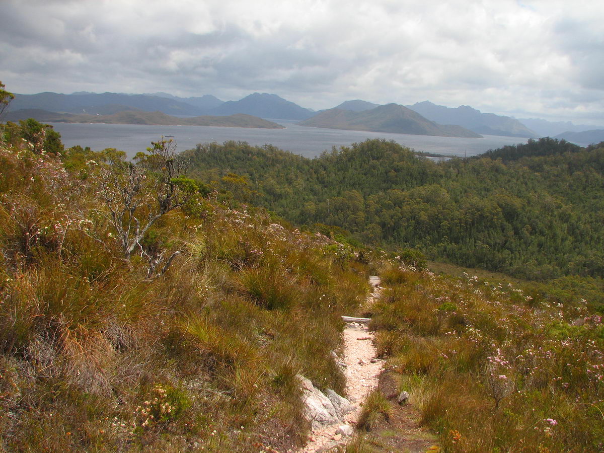
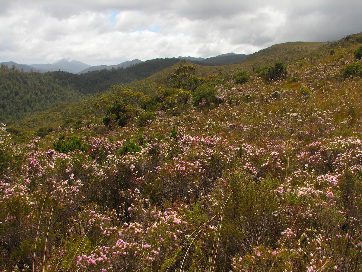
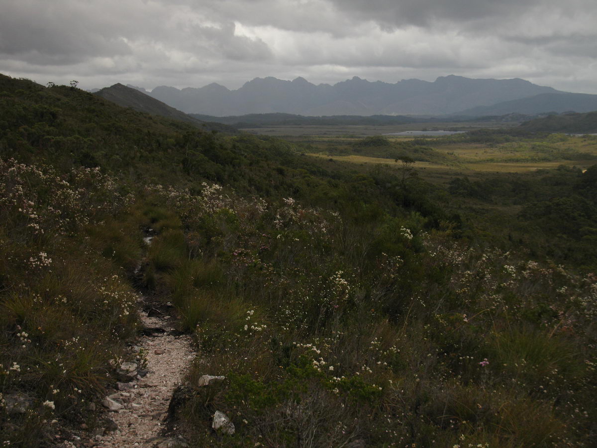
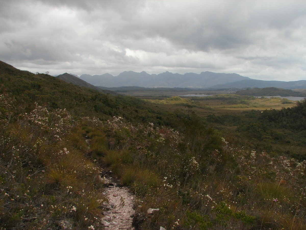
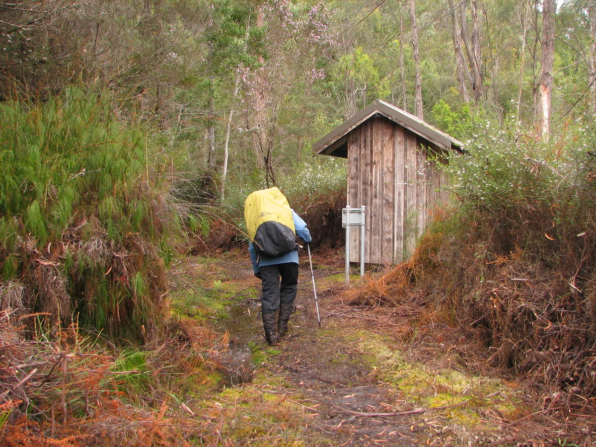
Susan's Diary: Judd’s Charm to Red Tape Creek Monday 23 November 2009 7:20 – 13:40 During the night both Luca and I slept badly as we listened to howling winds and heavy rain and we wondered how the weather would fare for our walk out. When the alarm woke us at 5:40am we were both quite awake. We wondered if we should have continued on the previous day, given the winds and rain that kept hitting us as we packed the tent. Despite all the rain we were pleased that our spot had remained relatively dry which we discovered when we packed the tent. The first section of the walk involved climbing onto, and then crossing the plateau, until we were next to Mt Sarah Jane, where we descended down into the plains. The first section of the walk gave me the most concern given the exposure to winds along here. As it turned out, the plateau was very exposed and we encountered strong winds that knocked us around to the point where progress forward was halted a few times due to the very strong winds. Furthermore we encountered a bit of sleet, snow, hail and rain. At other times the hail was being driven at high speeds into our faces, making it difficult to look ahead. Luckily the plateau section did contain some sheltered sections where we could take photos. It must have been around 1.5 hours before we passed the Mt Sarah Jane Track and began the descent into the plains. I was relieved to reach to thicker scrub so we then became sheltered and other than potential floods, our exposure to the elements was almost over. Given all the rain, sections of the descent track which were made up of shale and sometimes large rocks, contained torrents of water making its way down to the valley. Luckily despite all the water, the rocks were not particularly slippery. It was a strange experience, walking down a torrent! Eventually we reached the button grass plains which were wet and muddy but still much better than our memories of the Loddon Plains. Around the Lake Judd turn off the Anne River looked very passable, despite all the rain, but you would have gotten very wet. We were quite tired from the journey at this point and we wondered if we would have made it to the camp at Lake Judd the previous afternoon anyway! Of course, we wouldn’t have encountered so much water had we done so. We continued on the track, arriving after some time to the small campsite on the side of Schnells Ridge. We had a somewhat relaxing break in the first flat open area we had seen since getting off the plateau. From there the track improved significantly as we passed long sections of new and old boardwalk. It wasn’t long before we arrived at the Anne River Crossing where a sturdy new bridge got us across. The river was far from being in flood, but the bridge was much appreciated anyway! The track to Red Tape Creek was well maintained and quite fast, and having dropped a lot of height now, and the sun being out, we warmed up quickly. We got views of the Franklin Range and Western Arthurs, whilst behind us Mt Eliza and Mt Sarah Jane even appeared out of the mist for a little while, before being swallowed up again. At the registration hut we saw that the couple we had met near Shelf Camp, heading back to their car, had headed out to Lake Judd, with plans of making it out to Judd’s Charm – an impressive effort. It was raining lightly as we reached the car and the weather steadily improved on the drive back to Hobart. Back in Hobart we saw clouds gathered on Mt Wellington, suggesting there may have been poor weather, still, in the South West. |
|
Contact Sheet
Slideshow |
|||
|
|
|
|
|
|
|
|
|
|
|
|
|
|
|
|
|
|
|
|
|
|
|
|
|
|
|
|
|
|
|
|
|
|
|
|
|
|
|
|
|
|
|
|
|
|
|
|
|
|
| Contact Sheet for Day 1 2 am 2 pm 3 4 Slideshow for Day 1 2 am 2 pm 3 4 |