|
Back |
|
Page 1
Page 2
Page 3 |
|
Start Day - 1 |
After
being away for 3 months, we made our way back to Tassmania after spending
Easter in Melbourne. This time the plan was to get a taste of the Western
Arthurs, by walking out to Lake Oberon and throwing in a day of
exploration. That was the plan, in reality bad weather, a Melbourne cold
and lack of fitness saw us make it to Lake Cygnus with a side trip to Mt
Hayes. A good achievement, but disappointing after our achievements of
the South Coast Track and Mt Anne at Christmas. Just goes to show you
that you can’t let up in the pursuit of fitness and Tasmanian walks… |
 |
 |
 |
 |
|
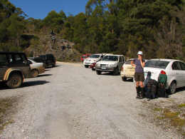
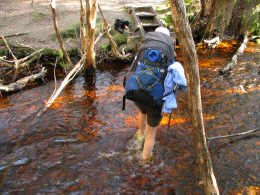
A full
car park at Huon campground. Here is where the plan unfolded, despite our
organisation for a 9am start, my cold and resulting fatigue saw me insist
on a sleep in, and a hearty breakfast at Banjo’s, so we started at 12:30
instead. |
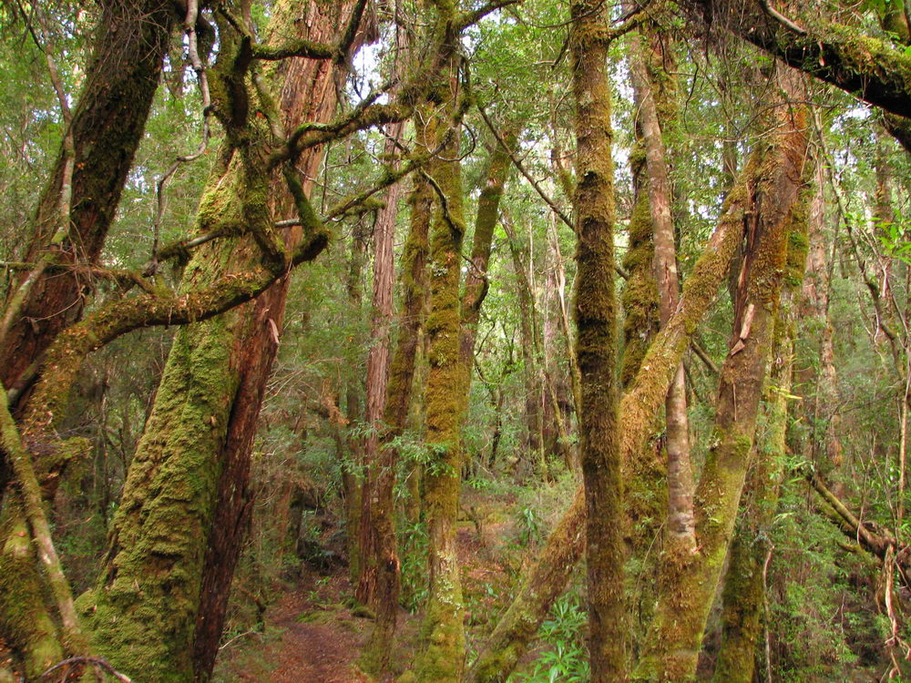
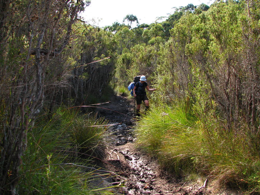
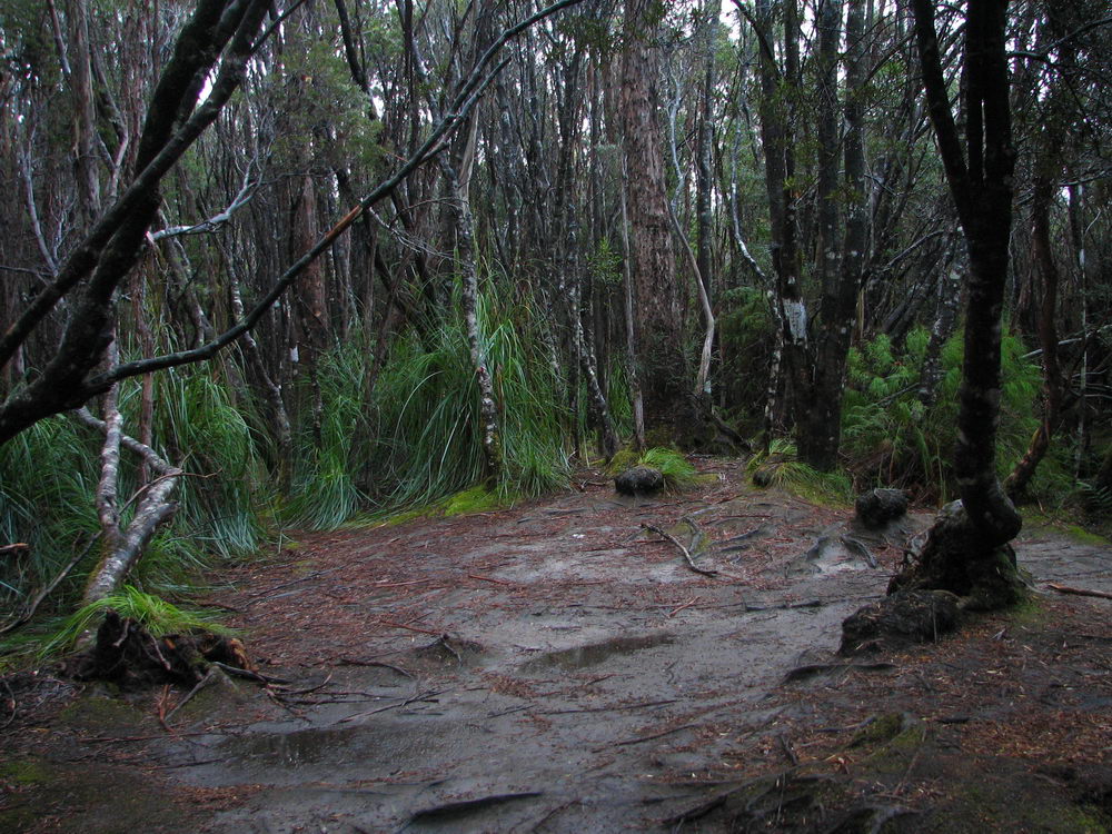
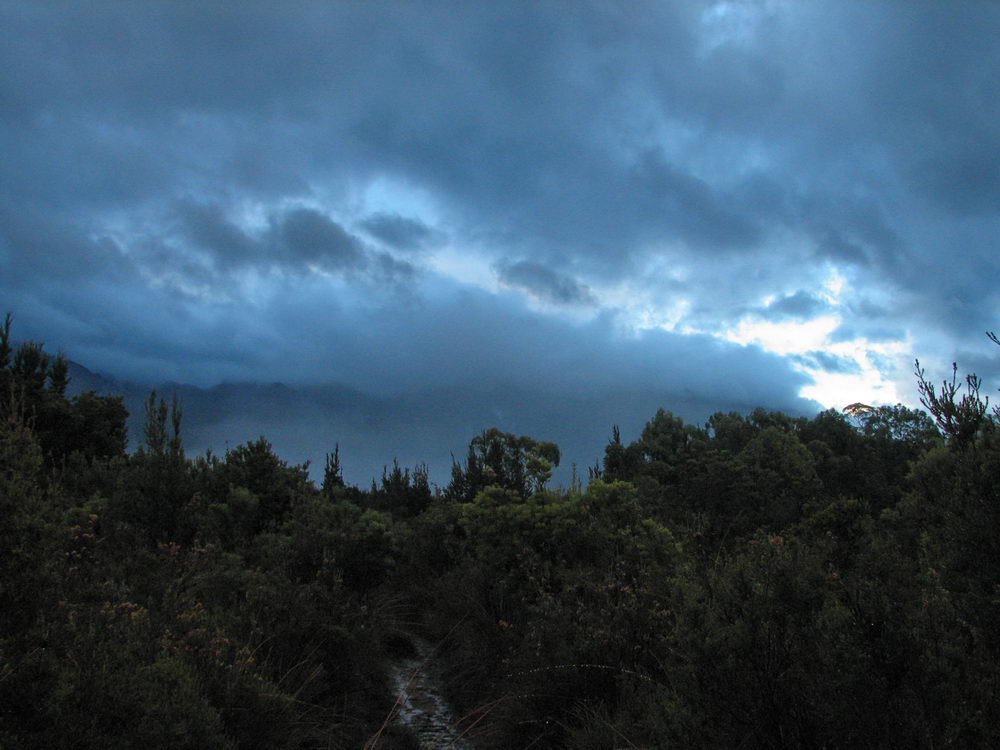
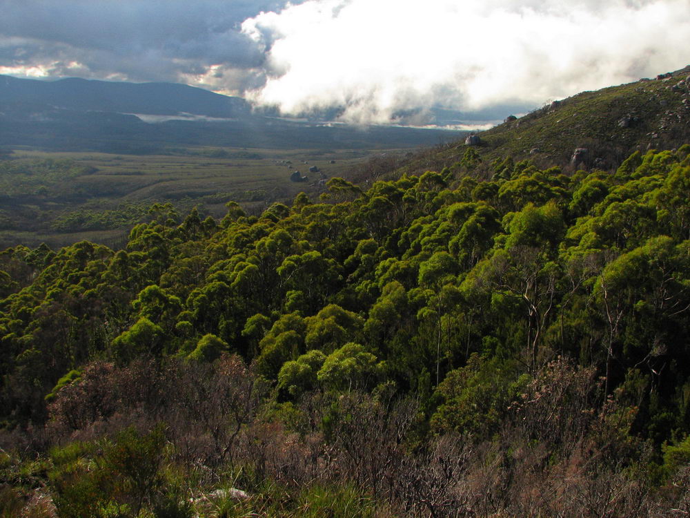
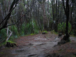
The start
of the walk went through some kind of rain forest. Very pretty and in
contrast to the button grass plains that were to come. |
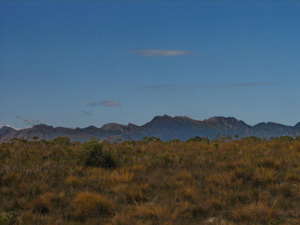
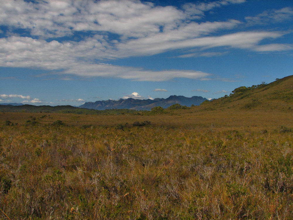
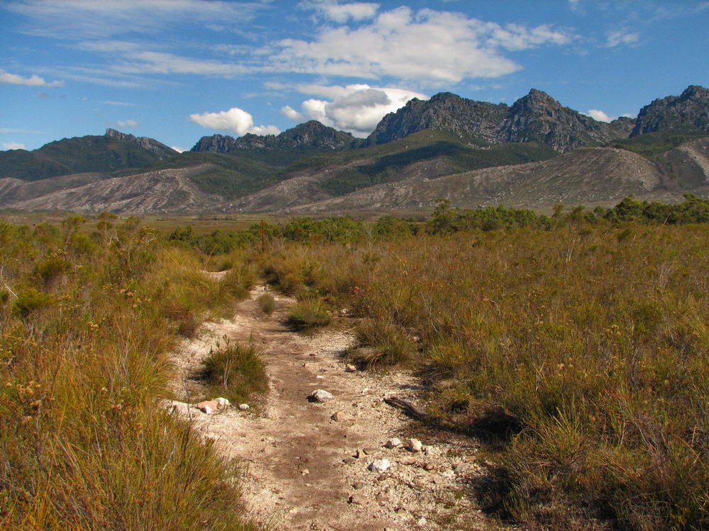
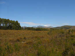
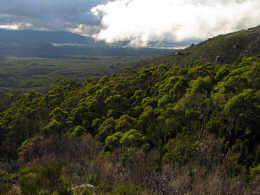
Mt Anne
in the distance. We had a beautiful clear day, making us particularly
disappointed that we didn’t get an early start to take advantage of it. |
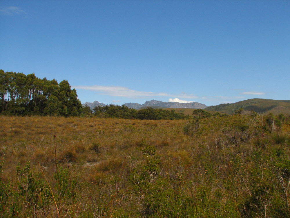
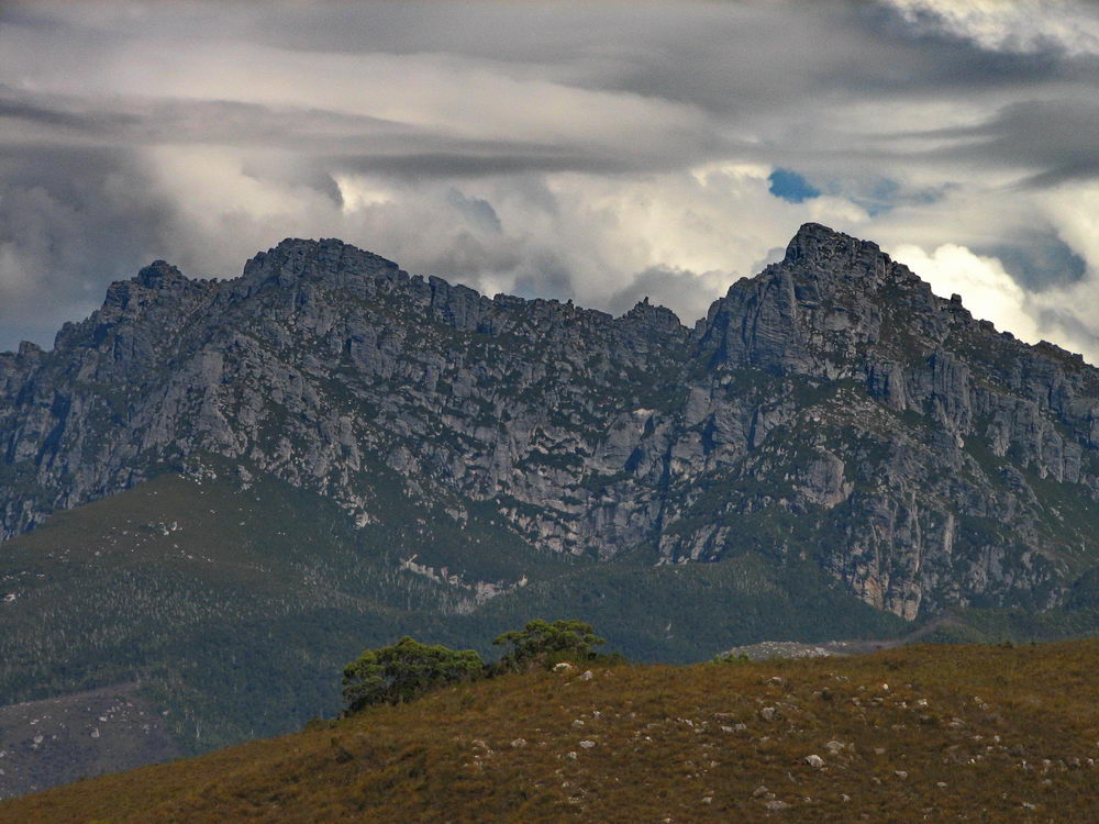
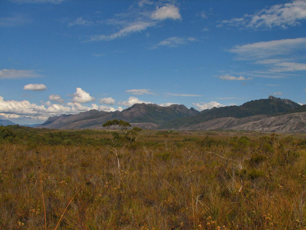
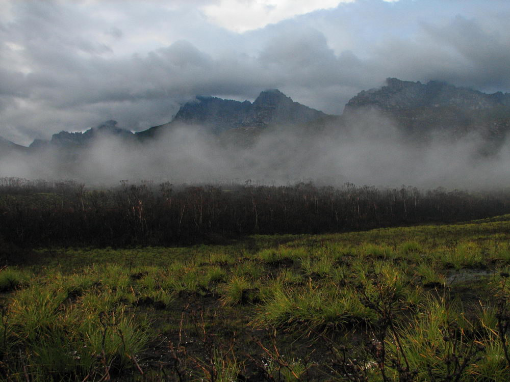
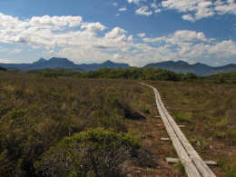
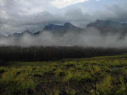
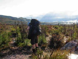
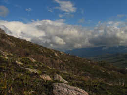
Western
Arthurs up ahead. |
 |
 |
 |
 |
|
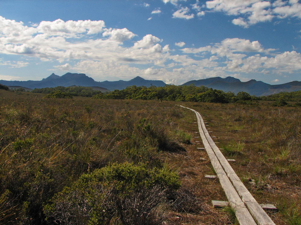
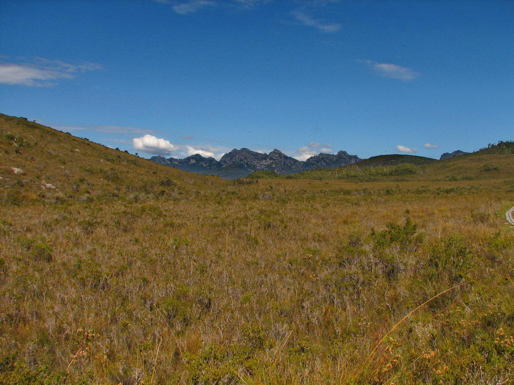
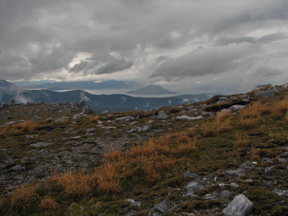
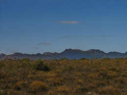
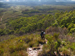
Views
aplenty of the Western Arthurs. |
|
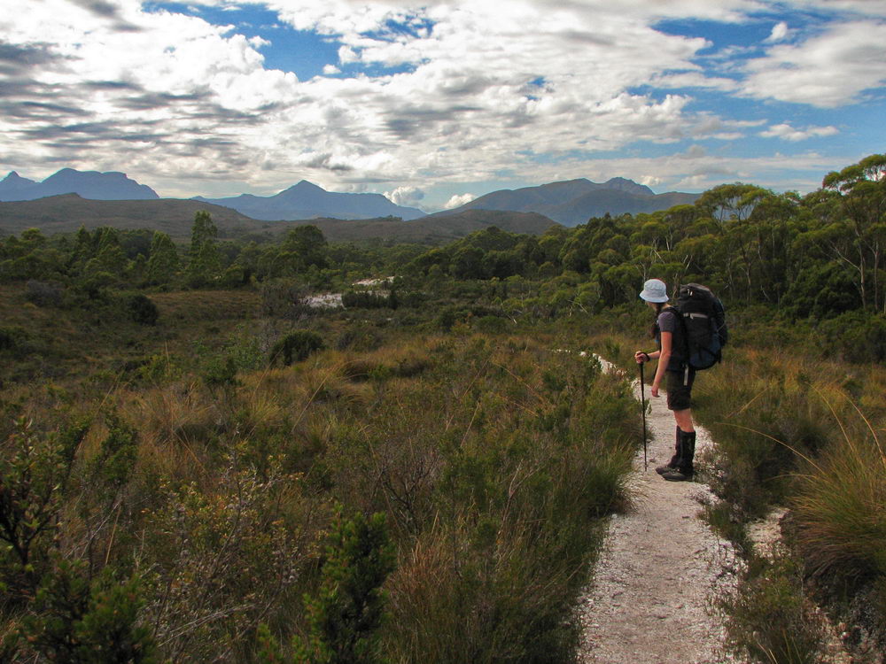
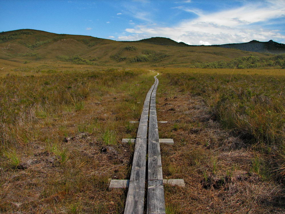
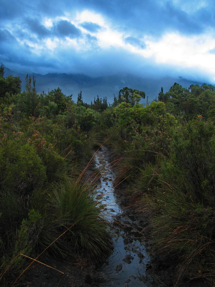
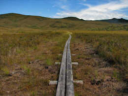
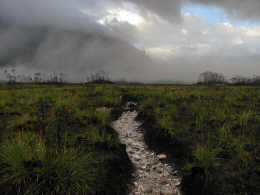
Great
track at the start, with the duckboards enabling some fast walking. |
|
 |
 |
 |
 |
|
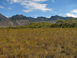
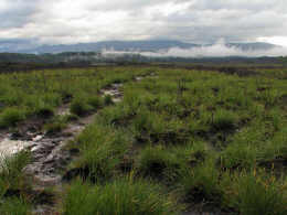
Across
the button grass are the Western Arthurs! |
|
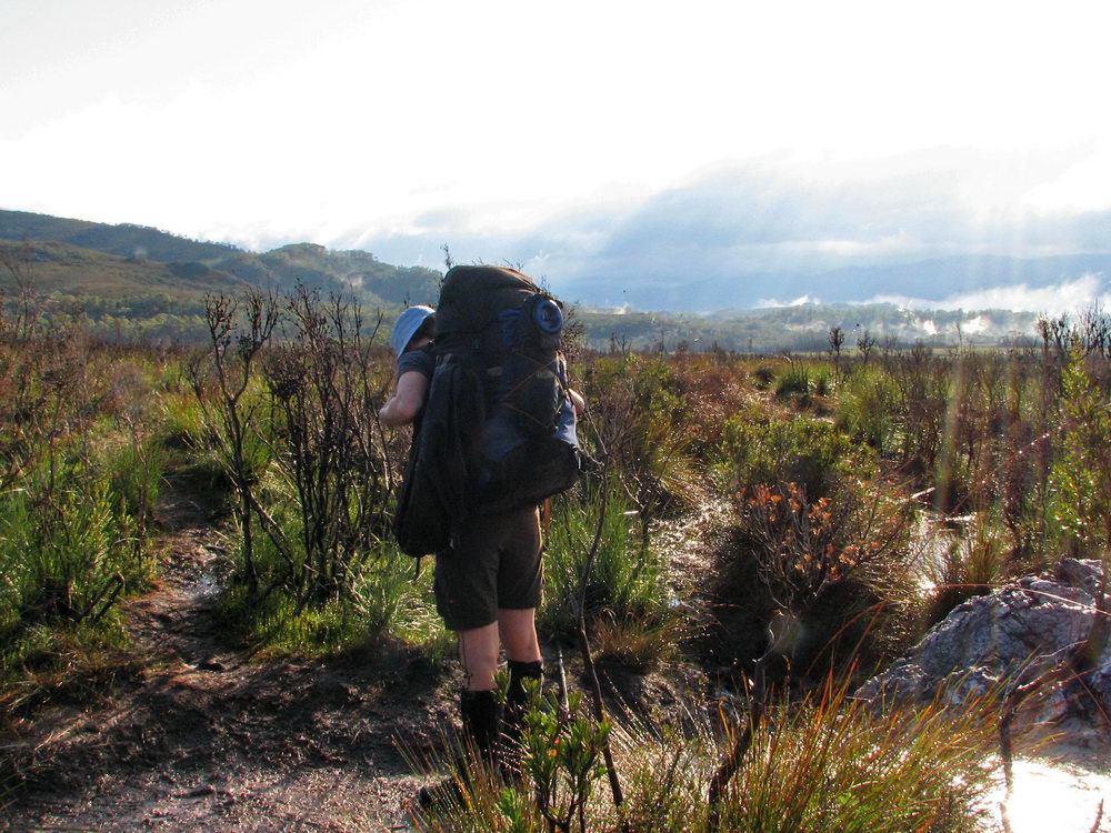
Along the
way we past two groups of walkers returning to the car park. Three men
had attempted Federation Peak in foul weather and were returning early,
while two women had performed the Lake Oberon circuit in the great weather
over Easter – it all comes down to luck! |
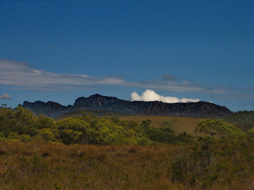
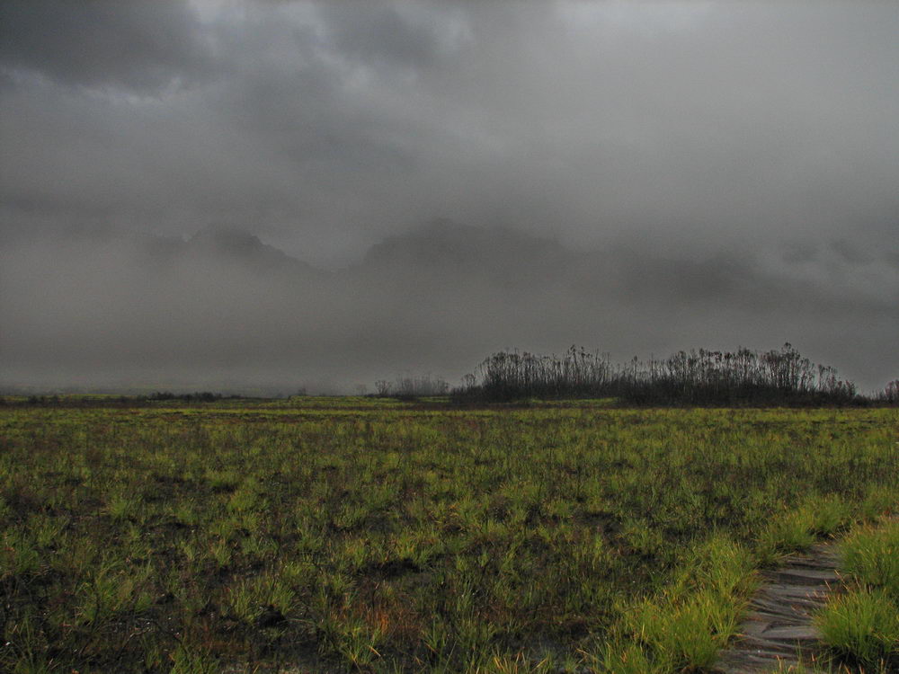
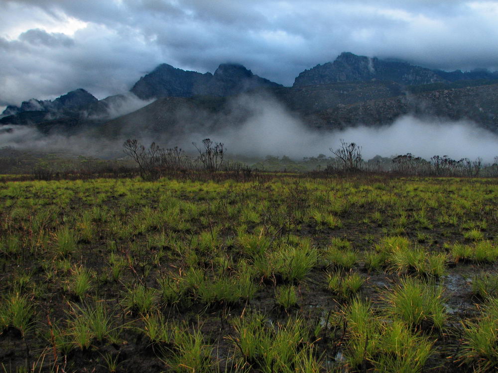
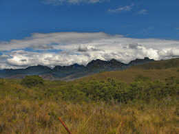
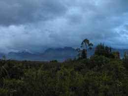
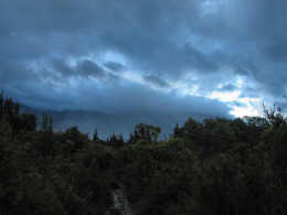
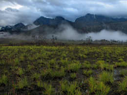
The
clouds are congregating over Mt Anne. |
 |
 |
 |
 |
|
Having
lunch with Mt Anne behind us. |
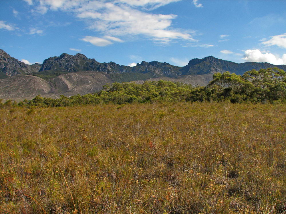
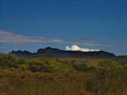
Western
Arthurs with some slightly ominous looking clouds above them. |
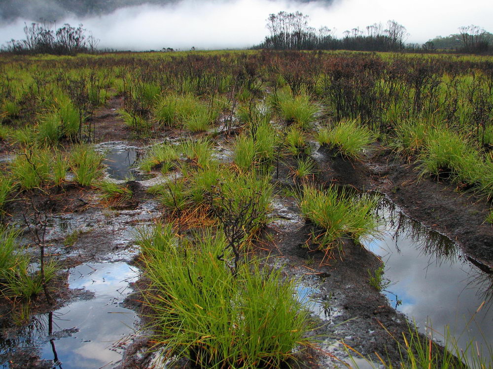
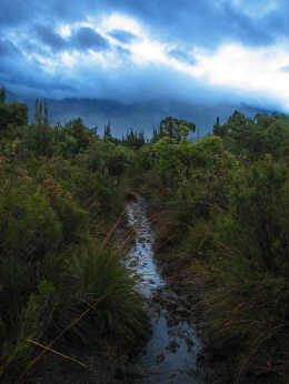
A bit of
mud here, just to keep you on your toes! |
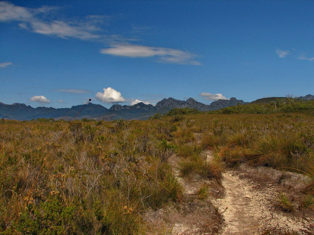
The
Western Arthurs up ahead, with a nice dry track to walk on. |
 |
 |
 |
 |
|
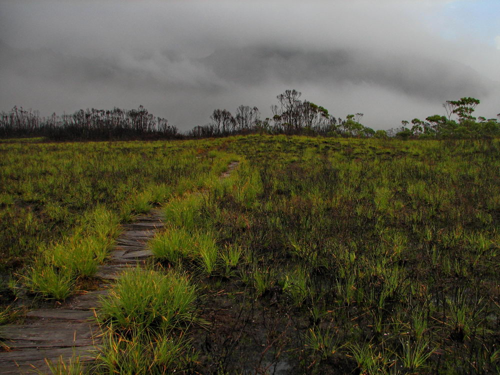
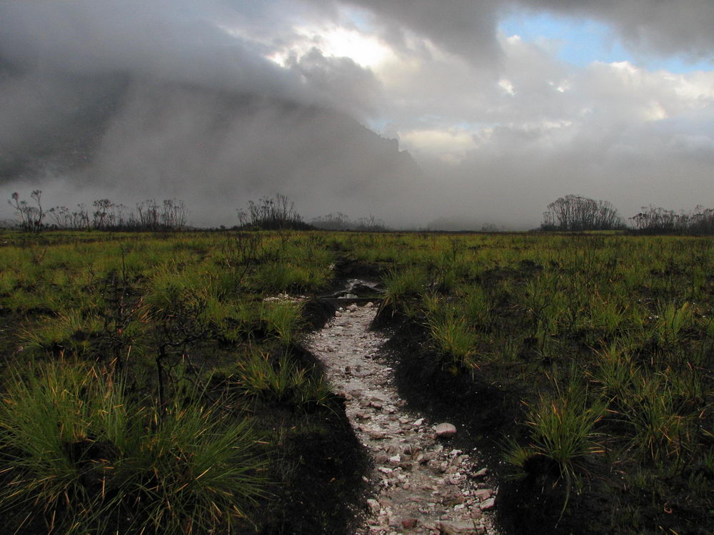
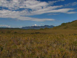
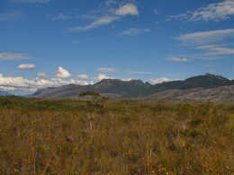
Button
grass in front of the mountains. |
|
Here we
are at Junction creek. We decide that given it was already 3:30, and our
pace to reach Junction Creek was poor, we had little chance of reaching a
good campground on the Western Arthurs. There is a campground at the foot
of Morainne A that received poor reviews from a fellow walker, so we
stopped for the day. |
 |
|
|
|
|
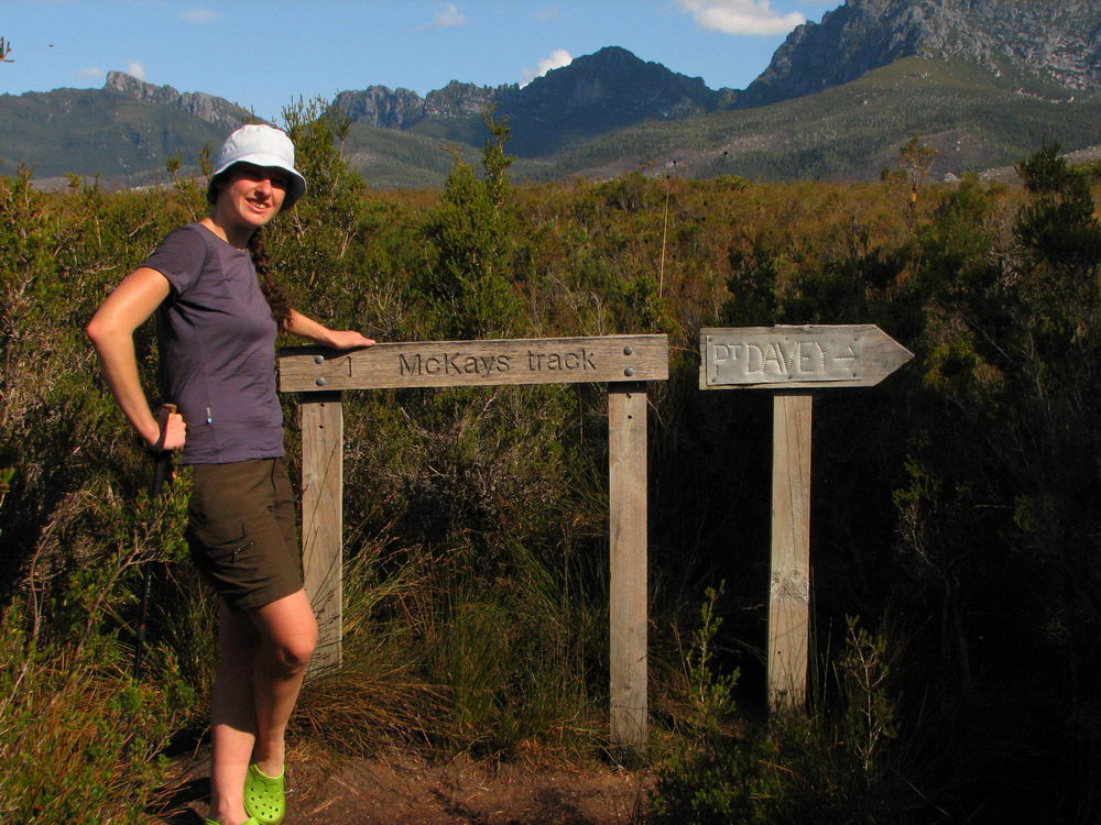
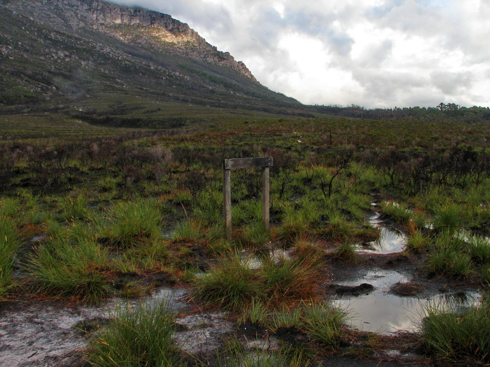
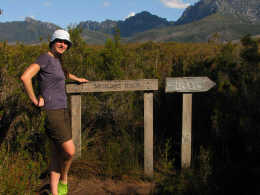
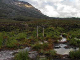
Here is a
well photographed group of signs. Western Arthurs in the background, with
the left arrow pointing to McKays Track and the right arrow to the Port
Davey Track. |
Close Day - 1 < |
> Start Day - 2 |
|
 |
 |
 |
 |
|
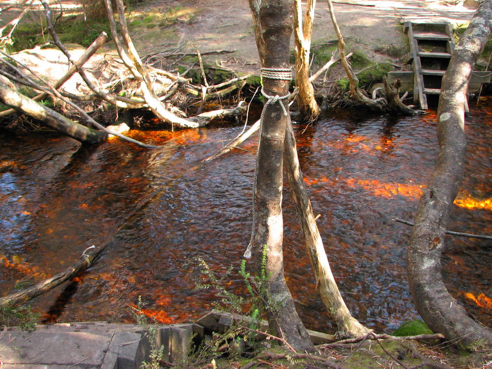
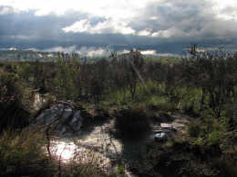
Here is
our campsite at Junction Creek. During dinner on the first night the
rains started and we retreated to the tent. Then the thunder started in
the distance (at the Western Arthurs of course), as a pool of water
accumulated under the tent. When the rain slowed down we moved the tent
to higher ground – got to love those free-standing tents! |
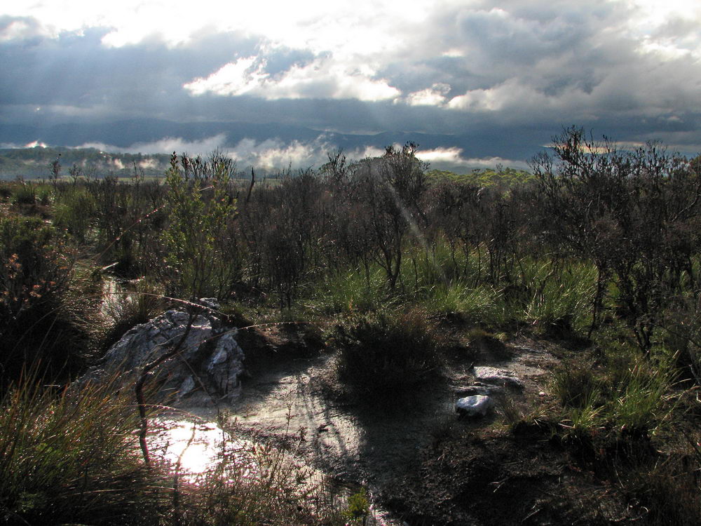
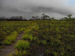
Starting
out on Day 2 the views are not quite as clear as the previous day,
although far more spectacular. |
There are
some higher shrubs to walk through, on the way to Moraine A. |
This mud
wasn’t here yesterday! Well certainly not as bad anyway. Some more
regret about not getting the early start on the first day is experienced! |
 |
 |
 |
 |
|
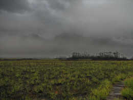
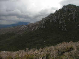
Some of
the impact of the fires through the Western Arthurs can be seen here. |
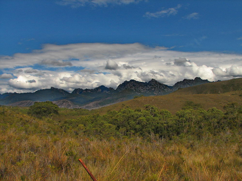
The
Western Arthurs are back there, behind the clouds. |
At least
it should be fairly cool as we climb the 600ms up Moraine A! |
A
promising look of blue sky gives us some encouragement. Maybe there will
be views at the top? Maybe we won’t be rained on today? |
 |
 |
 |
 |
|
A muddy
section of the track. |
Low cloud
ahead of the Western Arthurs. |
The track
to the right continues on the Port Davey track. We went straight, up
Morraine |
The Port
Davey Track is looking quite muddy. |
 |
 |
 |
 |
|
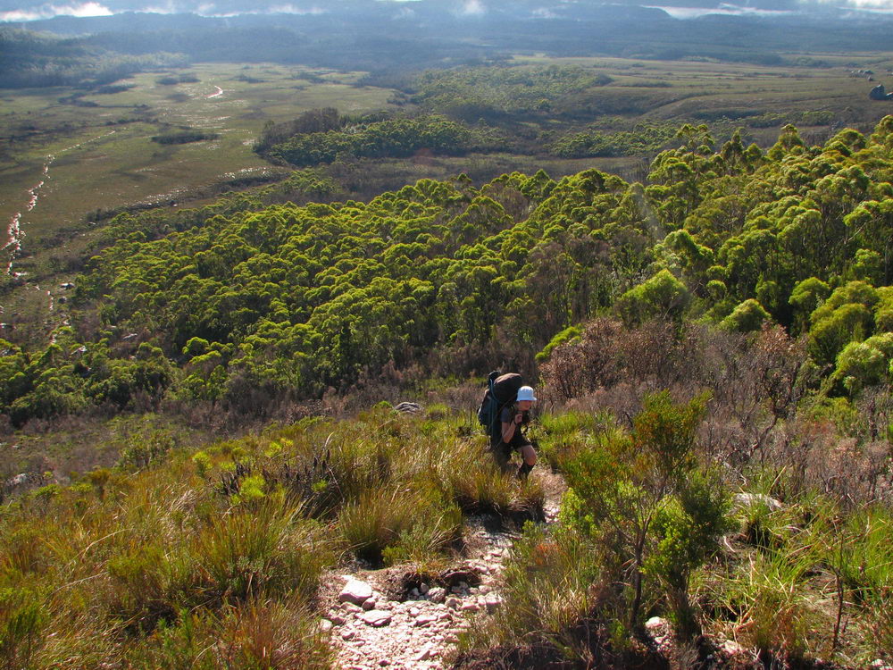
We can
see the climb ahead. It’s a short climb, but the fear of the lack of
fitness is with us. |
At the
bottom of Morraine A. We were at last not regretting staying at Junction
Creek last night after speaking to people who camped at the foot of
Morraine A, who experienced the thunderstorm. Our sheltered spot at
Junction Creek looked much better than the single muddy spot at Morraine
A. |
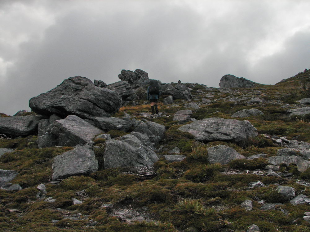
The climb
up Morraine A begins. While my Melbourne cold effects are wearing off,
the lack of fitness picks up. |
 |
 |
 |
 |
|
A bit of
sun comes through, but that can not be blamed for our poor effort during
the climb. |
Here I
struggle on behind Luca, who despite his own lack of fitness manages the
climb respectably. |
Here I am
ahead of Luca after he kindly takes the “snacks” container, sparing me
from 2kgs of weight. It makes a big difference. |
The first
rise on Moraine A. |
 |
 |
 |
 |
|
|
The track
back down. Looks like we have made some distance now. |
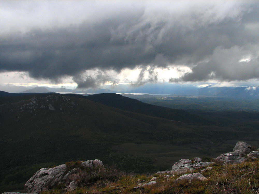
The
clouds linger above us ominously. |
The
clouds linger above us ominously. |
 |
 |
 |
 |
|
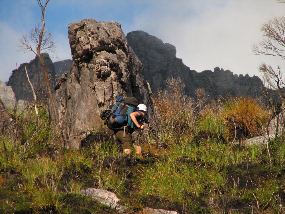
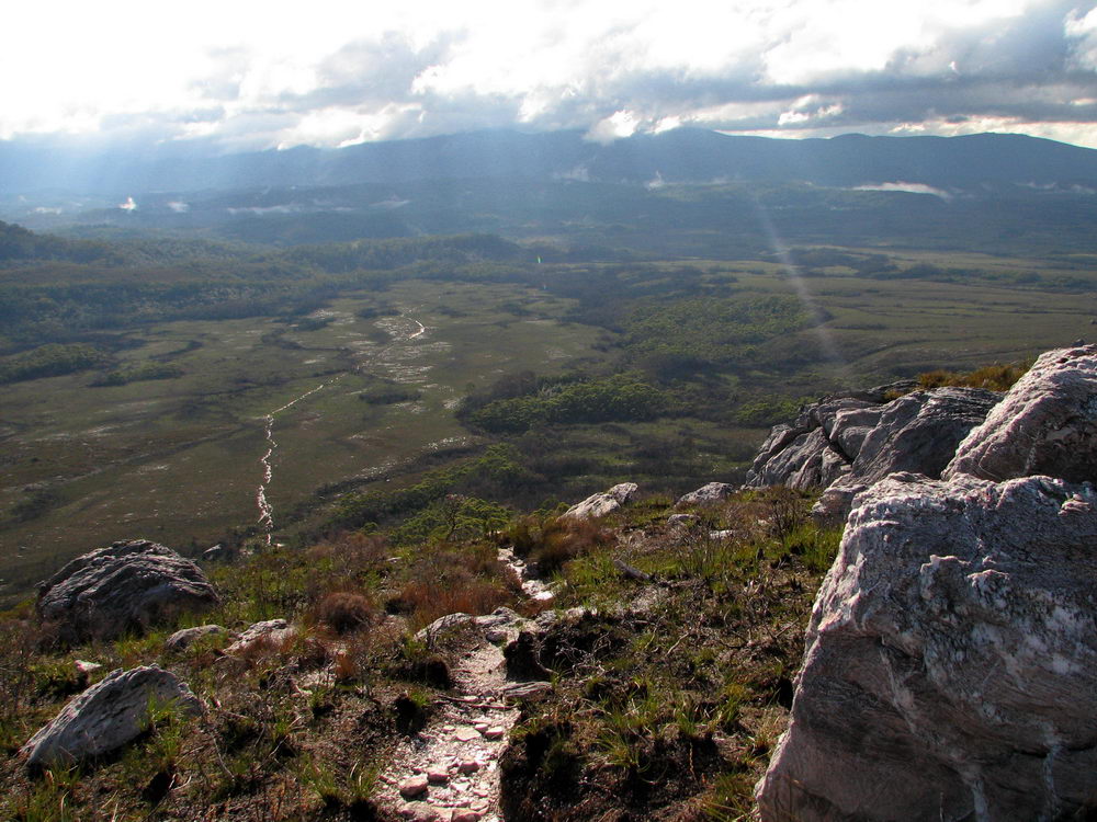
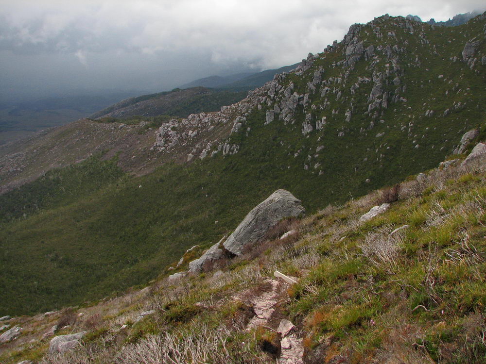
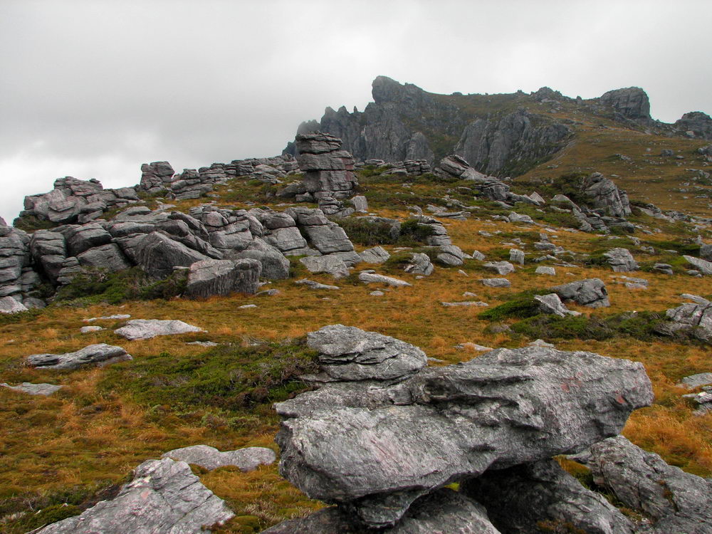
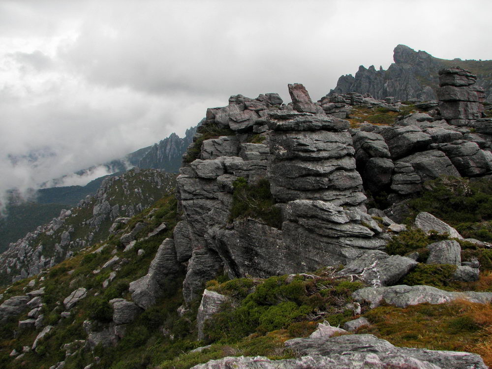
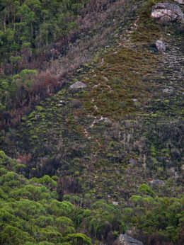
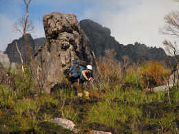
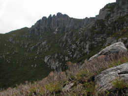
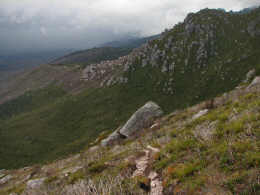
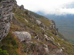
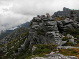
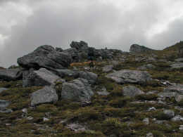
Quartzite
rock and shrub marking one of the ridges on the Western Arthurs. |
|
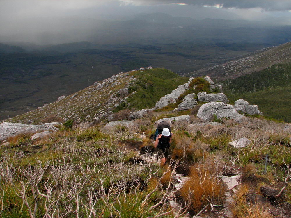
We are
getting very close to the top now. The relief is enormous! |
The day
is looking quite poor again, and if it wasn’t for the climb we would be
quite cold. |
 |
 |
 |
 |
|
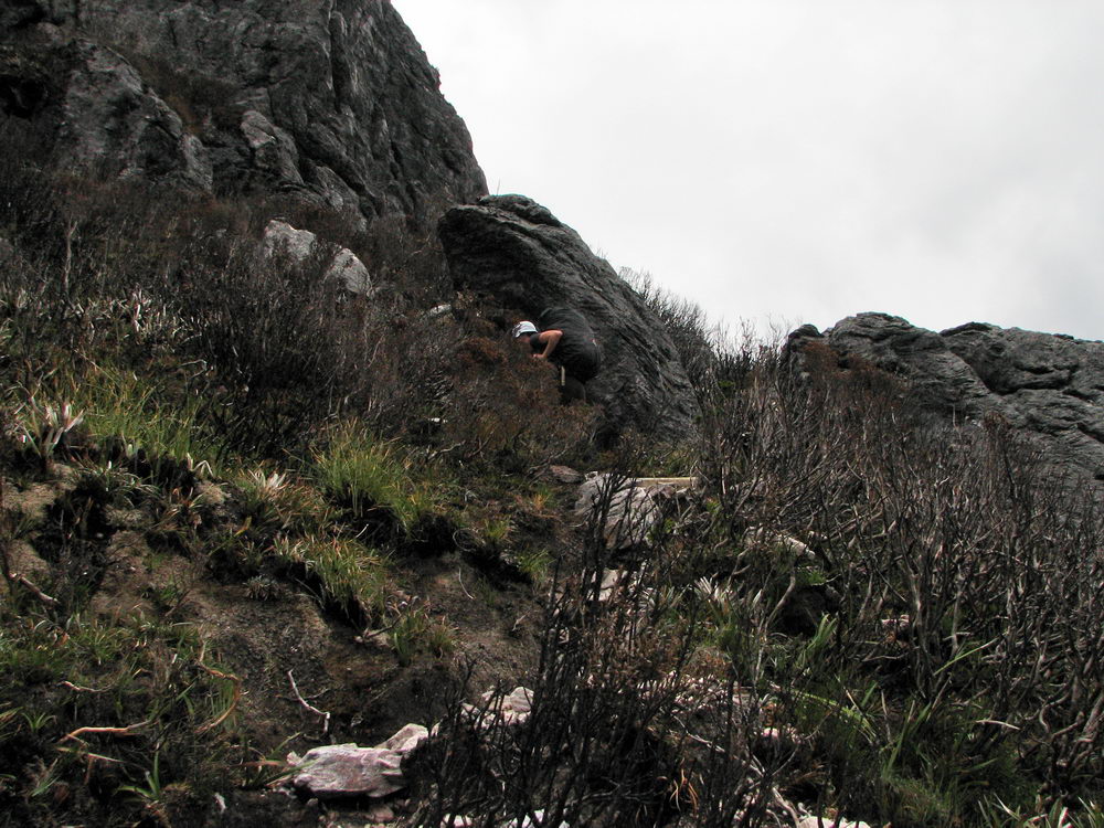
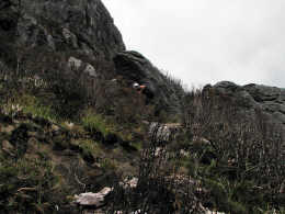
We near
the top and head around the boulders to the right. |
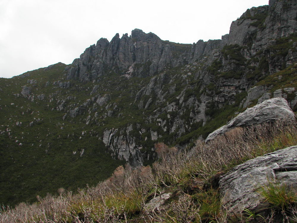
Near the
top there is more evidence of bushfires. |
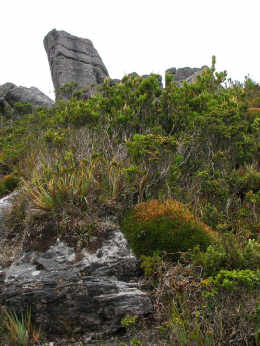
Some of
the shrubs near the top of the Western Arthurs. |
Almost
there… |
 |
 |
 |
 |
|
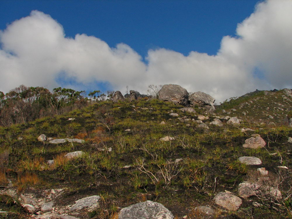
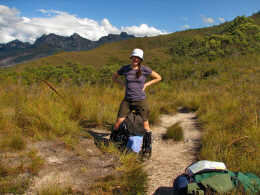
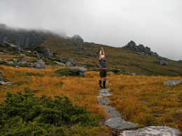
At the
top the pack is shed and the arms are thrown in the air! |
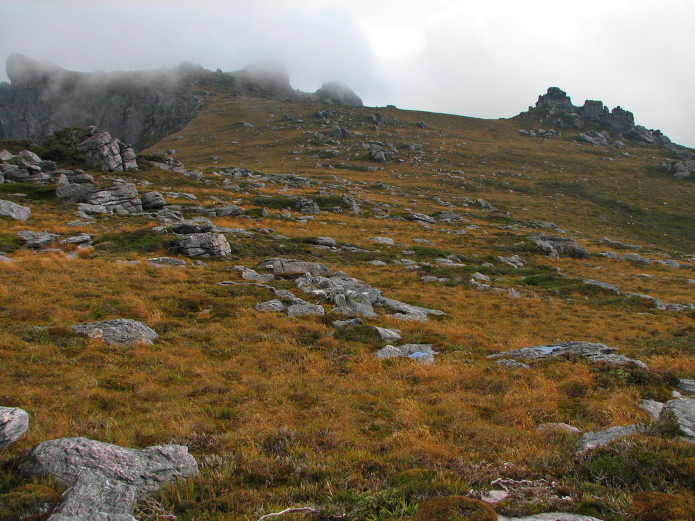
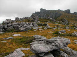
Rocks
litter the ground everywhere. The Lord of the Rings style views appear. |
The track
is clearly marked for us today, as reasonable visibility is available. |
A bit of
exploring at the top is enjoyed as we relax following the tough climb to
the top. With a few short breaks we reached the top in just under 2
hours. Not a bad effort due to the self-imposed adversity we had
overcome! |
 |
 |
 |
 |
|
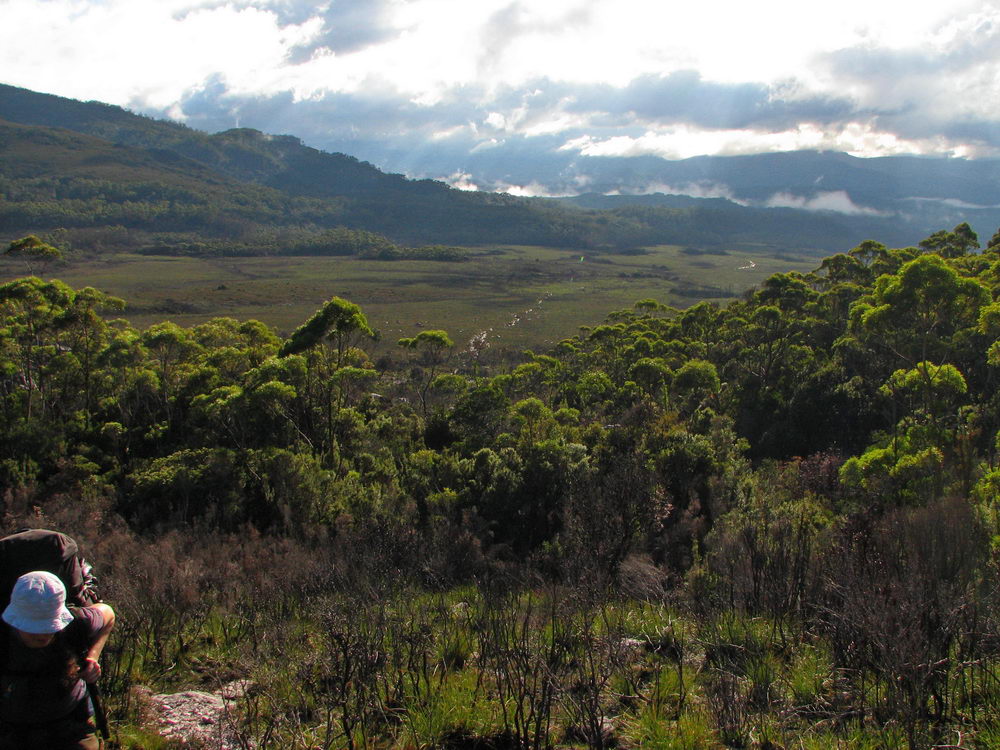
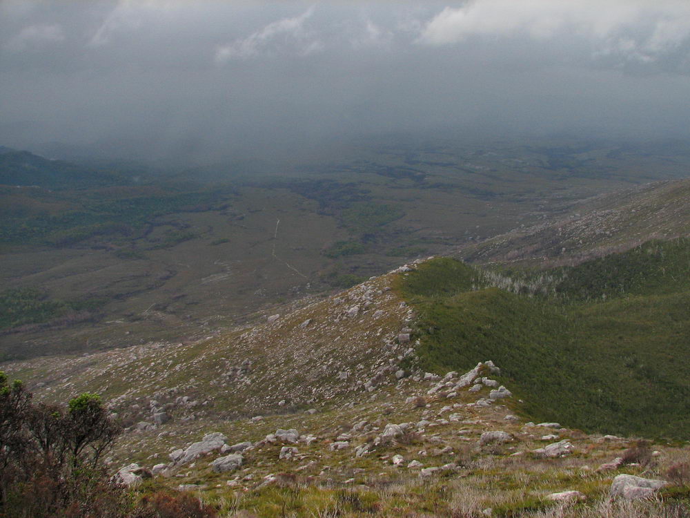
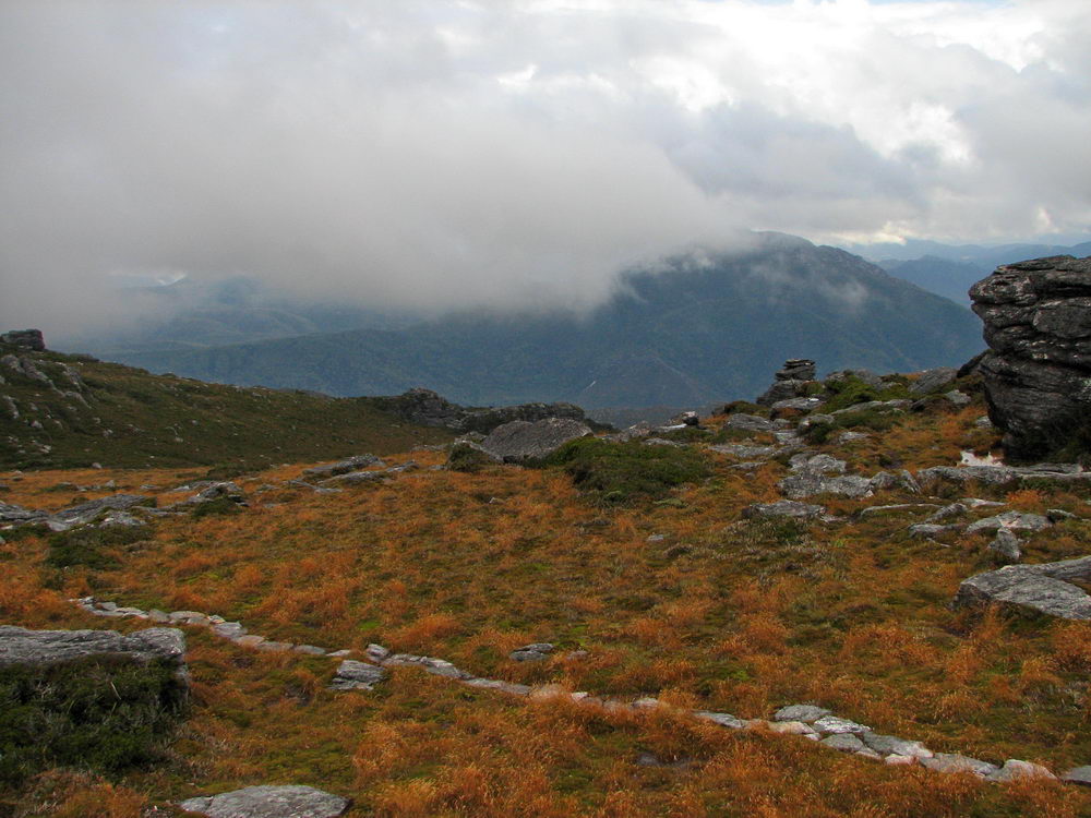
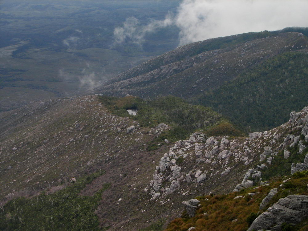
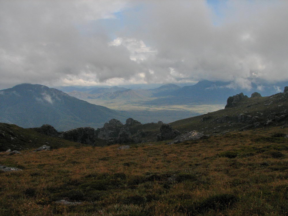
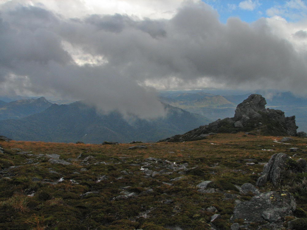
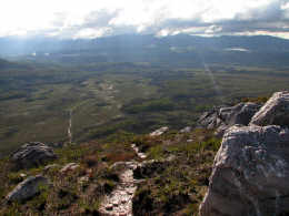
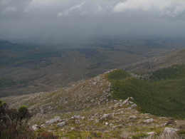
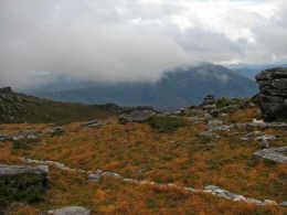
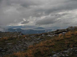
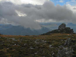
Looking
off the Western Arthurs. |
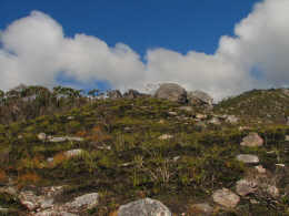
The
plateau at the top is very impressive. |
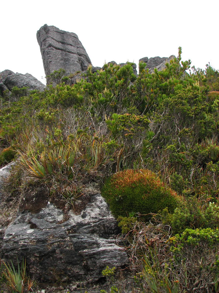
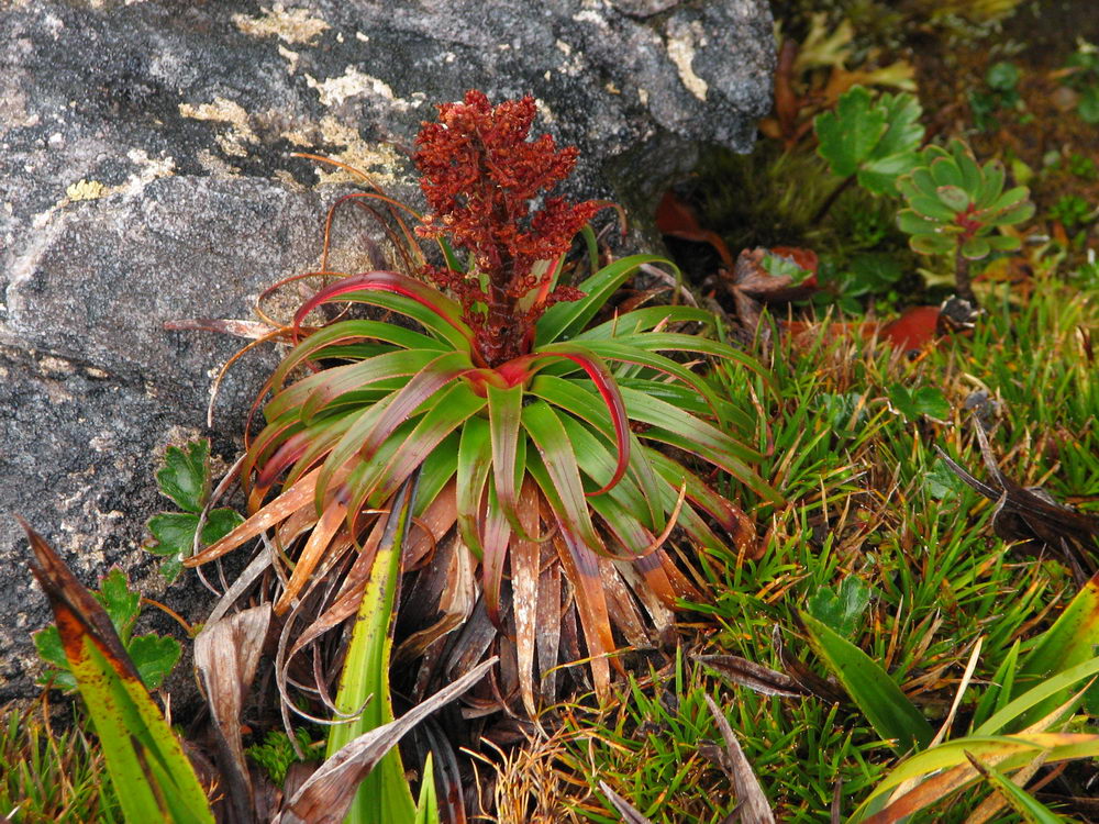
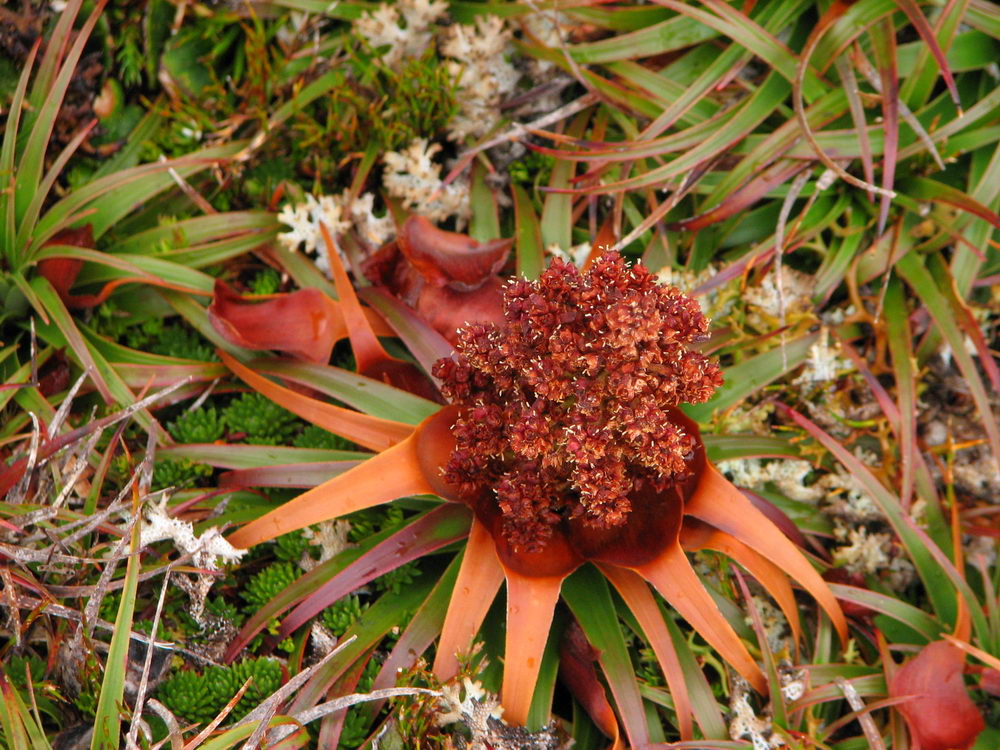
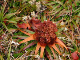
Some
plants are growing along side the rocks. The alpine plants are very
pretty, and fragile. The contrast of colours is very impressive. |
 |
 |
 |
 |
|
A bit of
blue sky up ahead. |
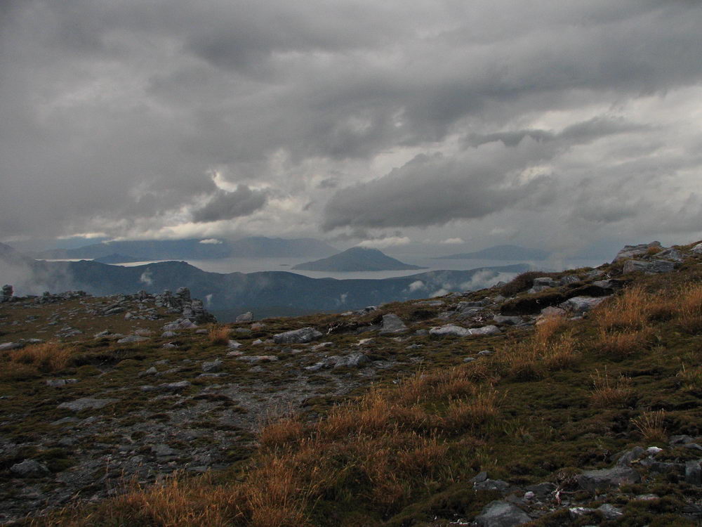
Lake
Pedder to the North, with Scott’s Peak coming up out of the water. |
The
plateau is very impressive. |
|
 |
|
|
|
|
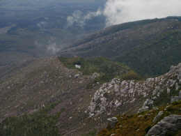
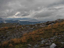
Scott’s
peak again. We are less than 11kms from the start of the walk, even less
as the crow flies. |
Day - 2 Continues > |
|
|
|
Back |
|
Page 1
Page 2
Page 3 |